

Photo Credits (5)
Difficulty
Moderate
Trail Length
2.4 miles
Trail Type
Out And Back
Elevation Gain
350 ft
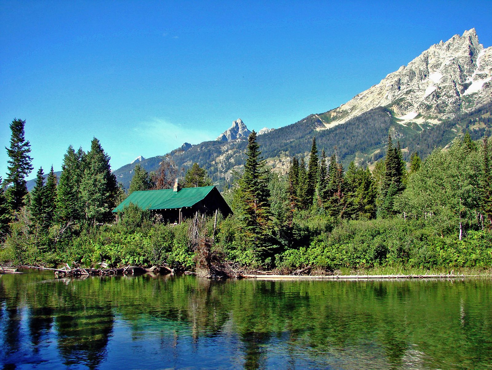
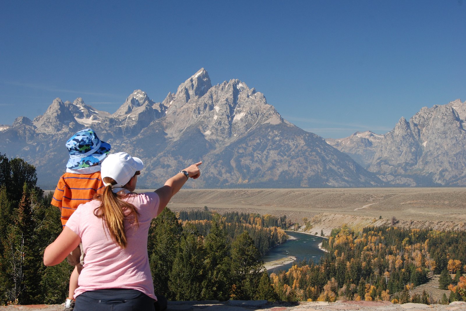
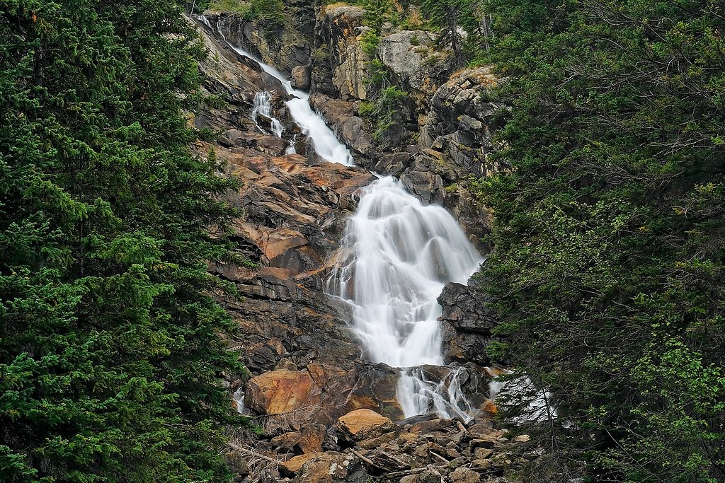
About Ribbon Cascade
Ribbon Cascade is a narrow, ribbon-like waterfall tucked into Grand Teton National Park and managed by the National Park Service. The fall descends a steep rock face and makes for a striking photo subject framed by the park’s forested slopes; its compact form and setting reward visitors who are looking for a quieter, scenic stop away from the busiest park viewpoints. A short moderate hike leads to the best viewpoints: the access route is an out-and-back roughly 2.4 miles in length with about 350 feet of elevation gain, making it a doable half-day outing for most hikers prepared for modest uphill walking. The nearest developed camping is Signal Mountain Campground, approximately 12.96 km away, and the cascade is an appealing detour for campers and day-hikers exploring Grand Teton’s eastern reaches.
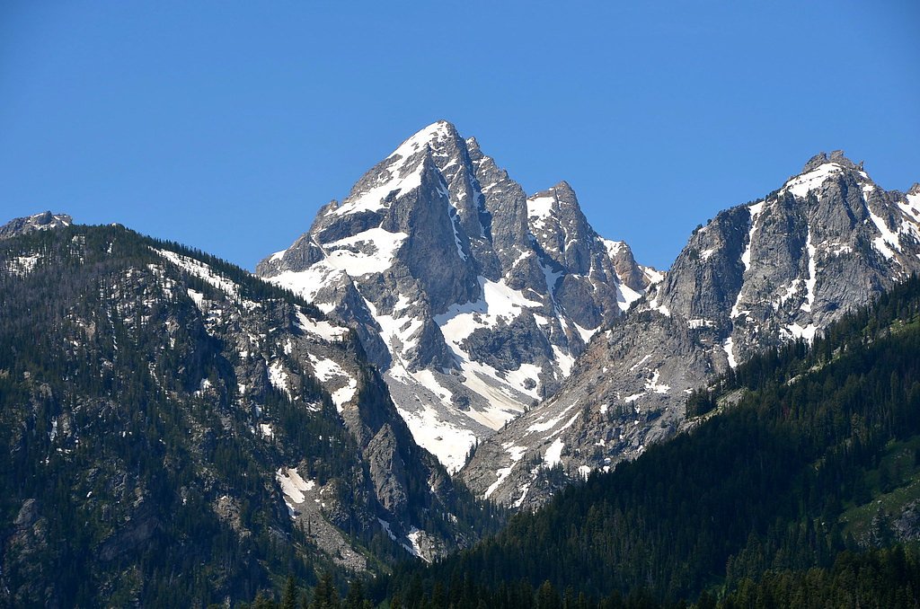
The Setting
Ribbon Cascade sits at 7,569 feet within Grand Teton National Park, fed by the Snake River, in the high mountains of Wyoming.
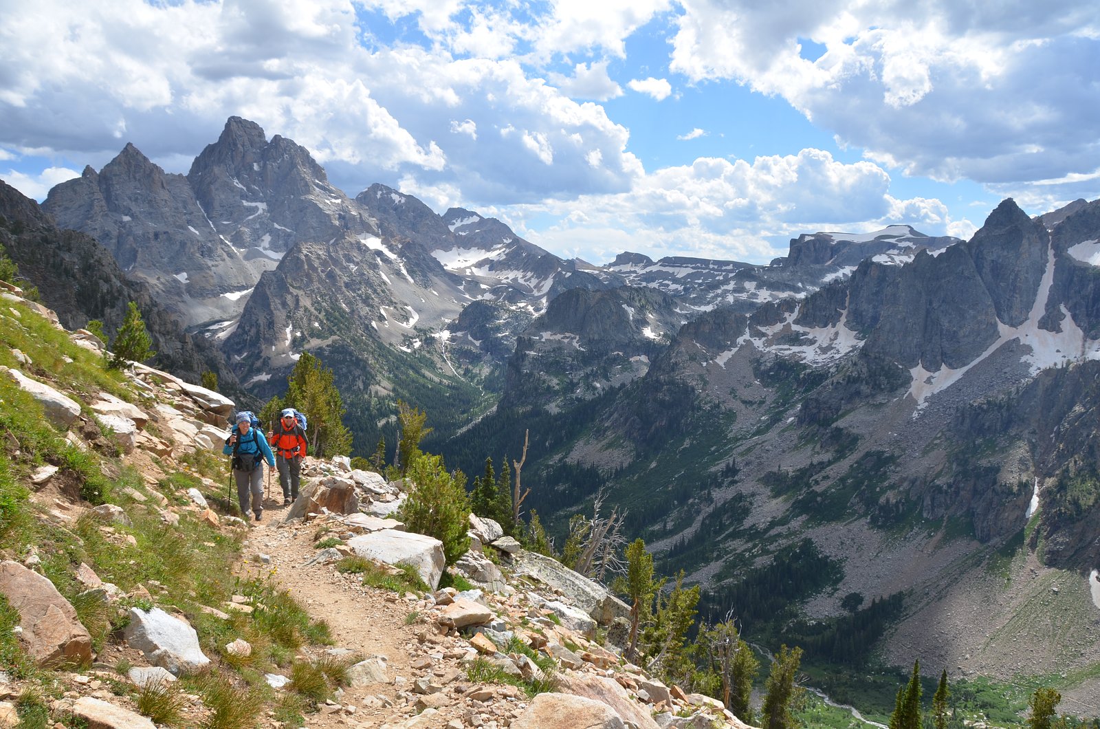
Trail & Hike Details
The Approach
The moderate 2.4-mile out-and-back trail gains 350 feet of elevation on the way to the falls.
Trail Description
Trail to Ribbon Cascade: a 2.4-mile out-and-back route with approximately 350 feet of cumulative elevation gain, rated moderate. The route is managed within Grand Teton National Park by the National Park Service; there is no USFS trail number associated with this park-maintained approach. Hikers can expect a relatively short, moderate hike to reach viewpoints of the narrow waterfall—plan for typical backcountry footing and bring layers, water, and bear-aware precautions when traveling in Grand Teton National Park.
What to Expect
Expect a serene and scenic view of a narrow waterfall cascading down a rocky cliff. The surrounding area is forested, providing a peaceful atmosphere. Wildlife sightings are possible in the area.
Accessibility
The trail is not wheelchair accessible. Uneven terrain and elevation changes require steady footing.
Frequently Asked Questions
🐶 Are Dogs Allowed at Ribbon Cascade?
❌ Dogs are not allowed
Are There Any Fees or Permits Required?
🤑 Fee: $35.00
🏊 Is There Swimming at Ribbon Cascade?
❌ Swimming is not allowed
When to Visit
Spring and early summer are the best times to visit Ribbon Cascade, as the water flow is typically stronger due to snowmelt.
Seasonal Access
The best time to visit is Spring, Summer, and Fall. Access roads and trails may close during winter due to snow. Check with Grand Teton National Park for current conditions.
Safety Information
Be cautious when pulling off the road to view the waterfall, as traffic can be heavy. Always stay aware of wildlife in the area and maintain a safe distance. Weather conditions in Yellowstone can change rapidly, so be prepared for sudden changes.
7-Day Flow Outlook
Based on the USGS gauge SNAKE RIVER AT MOOSE, WY (14 km away).
Today
Moderate
7850 cfs
9/10Tomorrow
Moderate
7509 cfs
9/10Tue
Moderate
7901 cfs
9/10Wed
Moderate
7736 cfs
9/10Thu
Moderate
7736 cfs
9/10Fri
Moderate
8733 cfs
6/10Sat
Strong
9499 cfs
7/10Best window: Today — moderate flow, sunny (trip score 9/10).
Best time of year: this gauge typically runs highest from early May to early August, peaking in June.
How we calculate this
This is a transparent outlook, not a precise forecast. We take the waterfall's current flow strength (how it ranks against its historical normal for today, from the nearest USGS stream gauge), carry that ranking forward along the gauge's seasonal curve, and nudge it for forecast rain. Confidence is highest for the next day or two and falls further out. Always check official conditions and your own judgment before visiting — high flows can be dangerous.
Know when to go.
Get a free email alert when waterfalls near Alta hit peak flow. We only send when conditions are worth the trip — no weekly newsletters, no spam.
Weather Forecast
Location & Access
Getting There
Ribbon Cascade is located along the Grand Loop Road in Yellowstone National Park, between Norris Geyser Basin and Madison Junction. It is visible from the road, making it easily accessible for visitors.
Get Directions on Google MapsParking
There is no designated parking area for Ribbon Cascade, but visitors can pull off to the side of the road at safe locations to view the waterfall.
Elevation
7,569 feet above sea level
Coordinates
43.774655° N, -110.748268° W
Land Management
Managed by NPS
Visitor Tips & Gear
Visit early in the morning or later in the afternoon to avoid crowds along the Grand Loop Road. Be cautious when pulling off the road to view the waterfall, as traffic can be heavy during peak seasons.
This trail sits at 7,569 ft above sea level
Elevated TrailUV radiation is roughly 30% stronger at this elevation than at sea level, and the dry air accelerates dehydration. Extra sun protection and fluids go a long way.
As an Amazon Associate, we earn from qualifying purchases.

Coppertone Sport SPF 50 Sunscreen
UV intensity jumps ~4% per 1,000 ft — at this elevation you can burn in half the time.

Sun Bum SPF 30 Lip Balm (3-Pack)
Lips have almost no natural UV protection and burn fast in thin, dry mountain air.

Liquid I.V. Electrolyte Packets
You lose moisture ~2x faster at elevation — electrolytes help you absorb water efficiently.

ROCKNIGHT Polarized UV400 Sunglasses
High-altitude glare off rock and water is intense — UV400 lenses block 99%+ of UVA/UVB.
As an Amazon Associate, we earn from qualifying purchases.
With 2.4 miles and 350 ft of elevation gain, sturdy boots and trekking poles will help on this moderate trail. Sun exposure on the trail makes good sun protection a must in summer.
America the Beautiful Annual Pass
Covers entrance fees at 2,000+ federal recreation sites — required at most National Parks.

Polarized Sunglasses (Knockaround)
Cuts glare off the water so you actually see the falls — and your photos turn out better too.

Columbia Watertight II Rain Jacket
Packs into its own pocket, seam-sealed, and keeps you dry from spray and surprise rain.

Earth Pak Waterproof Dry Bag
Keeps your phone and gear dry when waterfall mist soaks everything else.

Waterproof Phone Pouch (AiRunTech)
Cheap insurance — take photos right next to the falls without killing your phone.

Timberland Euro Sprint Mid Waterproof
Trusted waterproof boot with premium leather and grippy rubber sole — reliable on rocky, wet trails.

TrailBuddy Trekking Poles
Lightweight aluminum, cork grips, and flip-locks that actually hold — a best-seller for good reason.
Where to Stay

Headwaters Lodge & Cabins at Flagg Ranch

Colter Bay Village

Jackson Lake Lodge

Heart Six Ranch
Browse vacation cabins and private rentals nearby
Unique outdoor stays — tents, yurts, and treehouses
Rent a campervan or RV for your waterfall road trip
Some links are affiliate links. We may earn a commission at no extra cost to you.
Nearby Campground
Signal Mountain Campground
8.1 miles away · 81 sites
Overview The Signal Mountain Campground is centrally located inside Grand Teton National Park (GTNP) and provides a convenient basecamp for accessing all the park has to offer. This 80-site campground is located adjacent to Signal Mountain Lodge which provides many amenities you might need for your National Park adventures. The campground sits on the southeast shore of Jackson Lake, and offers easy access to the lake waters and short walks to unparalleled views of the Teton Range. The area is fre
Book on Recreation.govNearby Hot Springs
Hot springs near Alta, Wyoming
Jackson Lake Hot Springs
Jackson Lake Hot Springs emerges at 162 degrees Fahrenheit along Jackson Lake's northwestern shore in Grand Teton National Park...

Abercrombie Warm Springs
Abercrombie Warm Springs flows at 81°F within Grand Teton National Park, requiring a 104-meter walk from Warm Springs Road. The...

Kelly Warm Spring
Kelly Warm Spring flows at 81 degrees Fahrenheit just 108 meters from Gros Ventre Road at 6,684 feet elevation in Grand Teton N...
Boyles Hill Springs
Boyles Hill Springs emerges at 86°F near Wilson in Teton County's valley floor, flowing 45.8 degrees above ambient temperature ...

Astoria Mineral Hot Springs
Astoria Mineral Hot Springs flows at 99°F from a roadside location 75.9 meters from West Johnny Counts Road in Teton County, Wy...
Taylor Springs
Taylor Springs surfaces at 68 degrees Fahrenheit near Victor in Teton County, running 26.7 degrees above ambient air at 6,092 f...
Looking for a soak after your hike? Explore more hot springs near Alta, Wyoming on SoakingSprings.
Explore Wyoming springsAdditional Information
Nearby Attractions
Norris Geyser Basin, Madison Junction, Gibbon Falls
Wildlife
Elk, bison, bears, and various bird species may be seen in the area.
Cities near Ribbon Cascade
Nearby Waterfalls


Writing about Ribbon Cascade? Embed this waterfall on your site for free.