Broken Falls
Wyoming • Grand Teton National Park
By Armen Suny · Last verified Sep 2026
LiDAR & 3D terrain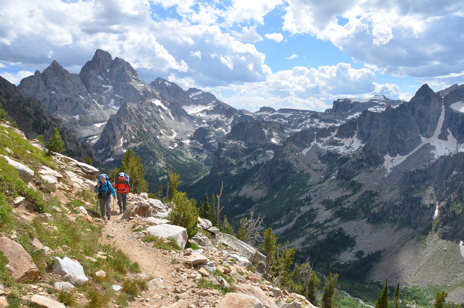
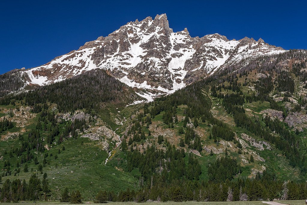
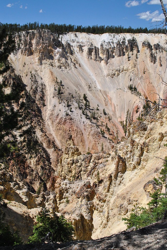
Photo Credits (5)
Difficulty
Easy
Trail Length
0.5 miles
Trail Type
Out And Back
About Broken Falls
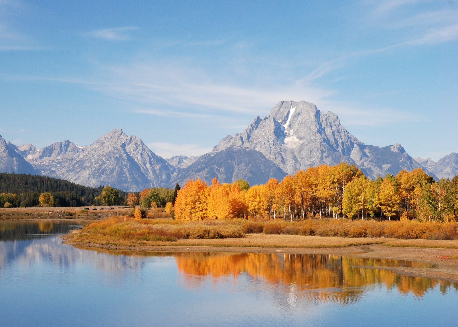
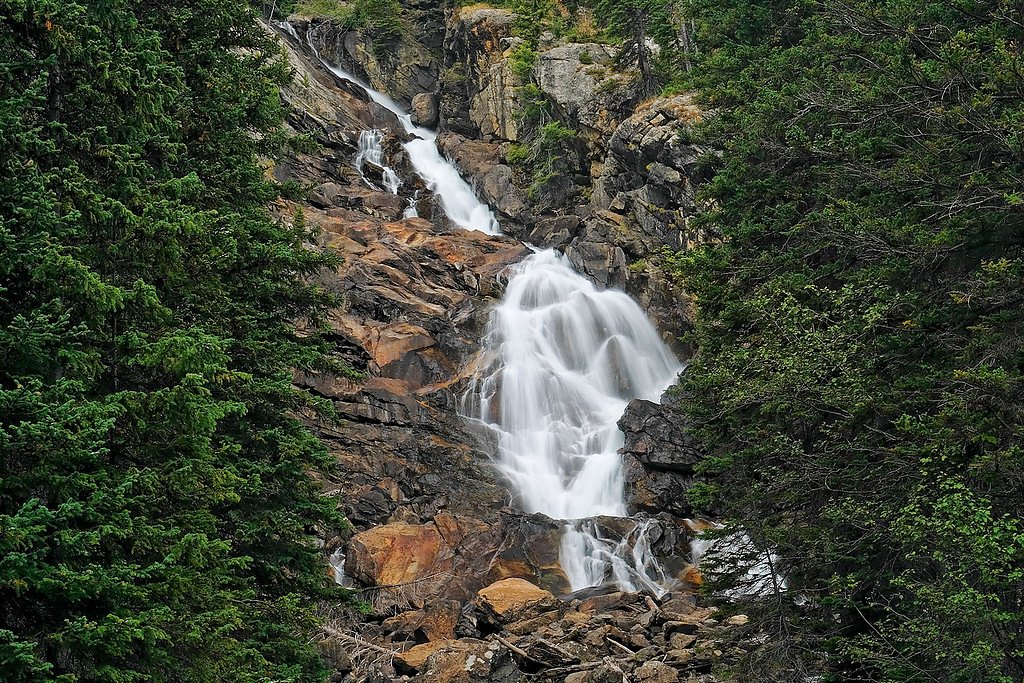
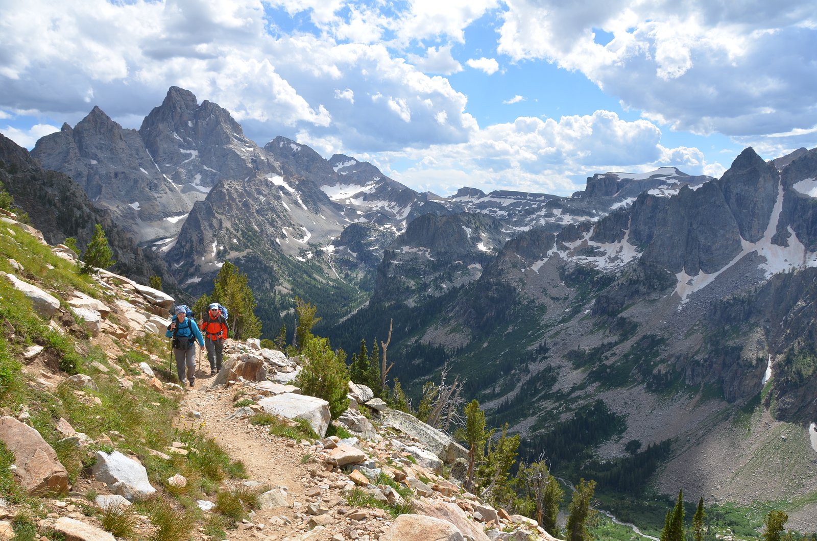
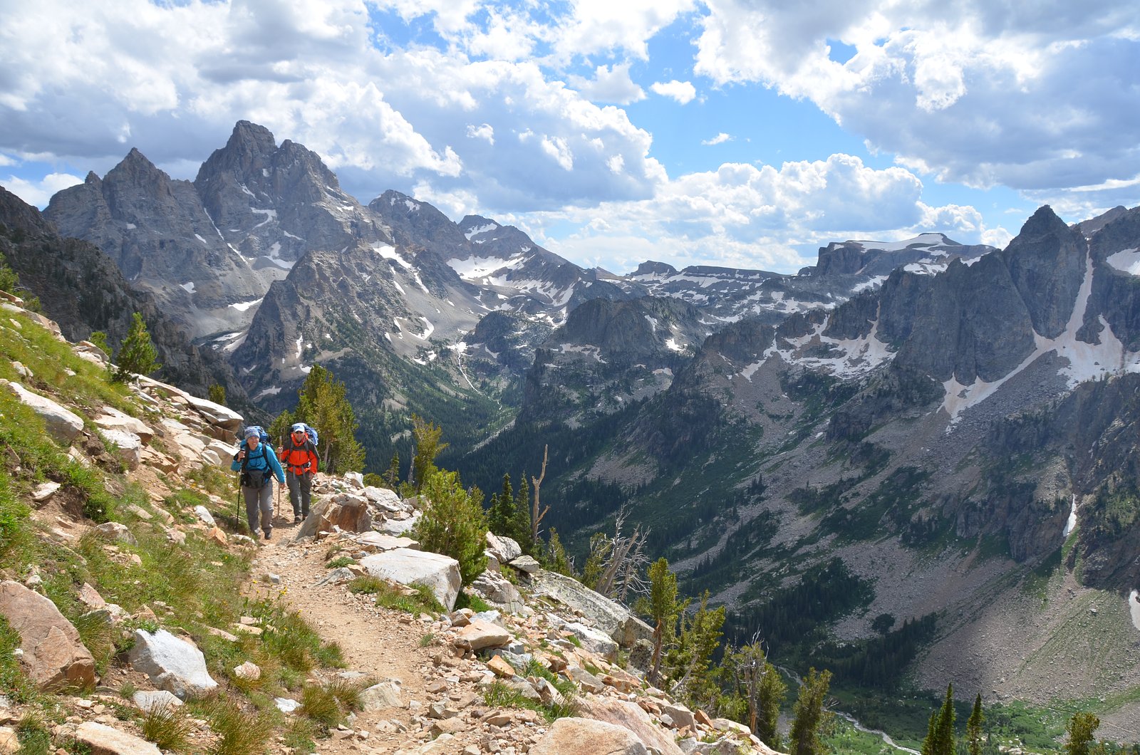
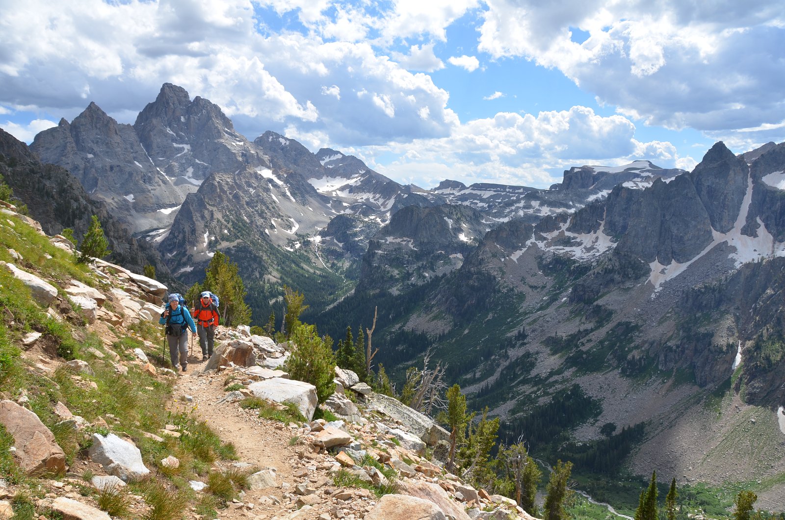
Broken Falls is a dramatic alpine cascade tucked into the eastern flank of Teewinot Mountain in the Teton Range, inside Grand Teton National Park. The falls tumble a total of about 300 feet (91 m) over seven separate drops before the creek settles into Moose Pond near Jenny Lake, creating a photogenic sequence of falls and pools framed by subalpine forest and craggy peaks. Managed by the National Park Service, this spot feels more intimate than some of the park’s busier overlooks, drawing hikers who want a rewarding waterfall without the largest crowds. The approach to Broken Falls is best for visitors who enjoy a short hike with a bit of climb: the trail delivers mountain views, opportunities to spot local wildflowers in season, and close-up perspectives of the cascading water as it threads down toward Moose Pond. Because the falls are within Grand Teton National Park, standard park rules and seasonal access conditions apply—plan accordingly for weather and trail conditions before you go.
The Setting
Broken Falls sits at 7,992 feet within Grand Teton National Park, fed by the Snake River, in the high mountains of Wyoming.
Trail & Hike Details
Trail Description
The trail to Broken Falls is an out-and-back route of roughly 2.4 miles round trip with about 350 feet of elevation gain, rated moderate. Expect a short but sustained climb and some steeper sections as the trail gains the flank of Teewinot Mountain; the route follows forested slopes and opens to views of the falls and Moose Pond near Jenny Lake. This moderately rated hike is suitable for hikers comfortable with uphill walking; carry water, wear good footwear, and check current park trail notices from Grand Teton National Park (NPS) before setting out.
What to Expect
Visitors can expect a peaceful and scenic experience at Broken Falls. The waterfall is smaller compared to others in the park but offers a tranquil setting with fewer crowds. The surrounding area is rich in natural beauty, with opportunities to spot wildlife and enjoy the sounds of the flowing river.
Accessibility
The trail is short and relatively flat, but the surface may be uneven. Contact the managing agency for accessibility details.
Frequently Asked Questions
🐶 Are Dogs Allowed at Broken Falls?
❌ Dogs are not allowed
Are There Any Fees or Permits Required?
🤑 Fee: $35.00
🏊 Is There Swimming at Broken Falls?
❌ Swimming is not allowed
When to Visit
The best time to visit Broken Falls is during the spring and early summer when water flow is at its peak due to snowmelt. Fall also offers beautiful foliage, while summer provides warm weather for hiking.
Seasonal Access
The best time to visit is Spring, Summer, and Fall. Access roads and trails may close during winter due to snow. Check with Grand Teton National Park for current conditions.
Safety Information
Stay on designated trails to avoid damaging the environment and for personal safety. Be cautious of slippery rocks near the waterfall. Carry bear spray and be aware of wildlife in the area.
Current Water Conditions
2,980 ft³/s
Current discharge — how much water is flowing
About average for this time of year
Based on 31 years of record
10.17 ft
Water depth at gauge
55°F
ColdBracing — limit time in water
7-Day Discharge Trend
What does this mean for your visit?
Flow is about average for this time of year. Water temperature is a bracing 55 degrees F, limit your time in the water. Expect excellent dissolved oxygen levels. PH is normal at 8.5 and mineral content is typical.
Water Quality
Dissolved Oxygen
ExcellentSupports aquatic life
pH
NormalWithin healthy range (6.5-8.5)
Conductance
Dissolved minerals in the water
About This Gauge
This gauge is on a nearby waterway and may not reflect exact conditions at the falls.
7-Day Flow Outlook
Based on the USGS gauge SNAKE RIVER AT MOOSE, WY (11 km away).
Today
Barely Flowing
2980 cfs
4/10Tomorrow
Low
3340 cfs
4/10Mon
Low
3174 cfs
6/10Tue
Barely Flowing
3011 cfs
5/10Wed
Low
3432 cfs
3/10Thu
Low
3200 cfs
6/10Fri
Barely Flowing
2939 cfs
5/10Best window: Mon — low flow, sunny (trip score 6/10).
Best time of year: this gauge typically runs highest from early May to early August, peaking in June.
How we calculate this
This is a transparent outlook, not a precise forecast. We take the waterfall's current flow strength (how it ranks against its historical normal for today, from the nearest USGS stream gauge), carry that ranking forward along the gauge's seasonal curve, and nudge it for forecast rain. Confidence is highest for the next day or two and falls further out. Always check official conditions and your own judgment before visiting — high flows can be dangerous.
Know when to go.
Get a free email alert when waterfalls near Teton Village hit peak flow. We only send when conditions are worth the trip — no weekly newsletters, no spam.
Weather Forecast
The Terrain, Seen by LiDAR
Aircraft-mounted lasers measured this ground to within inches. Trees and buildings are digitally stripped away, leaving the bare shape of the land the water has carved.
1-meter lidar measures about 297 feet of descent through Broken Falls, a steep tiered drop rather than a single free fall. The brink sits at about 8,012 feet above sea level.
The whole reach is steep: about 289 feet of descent in the 500 feet above the falls and another 152 feet in the 500 feet below. The falls face northeast and catch soft morning light.
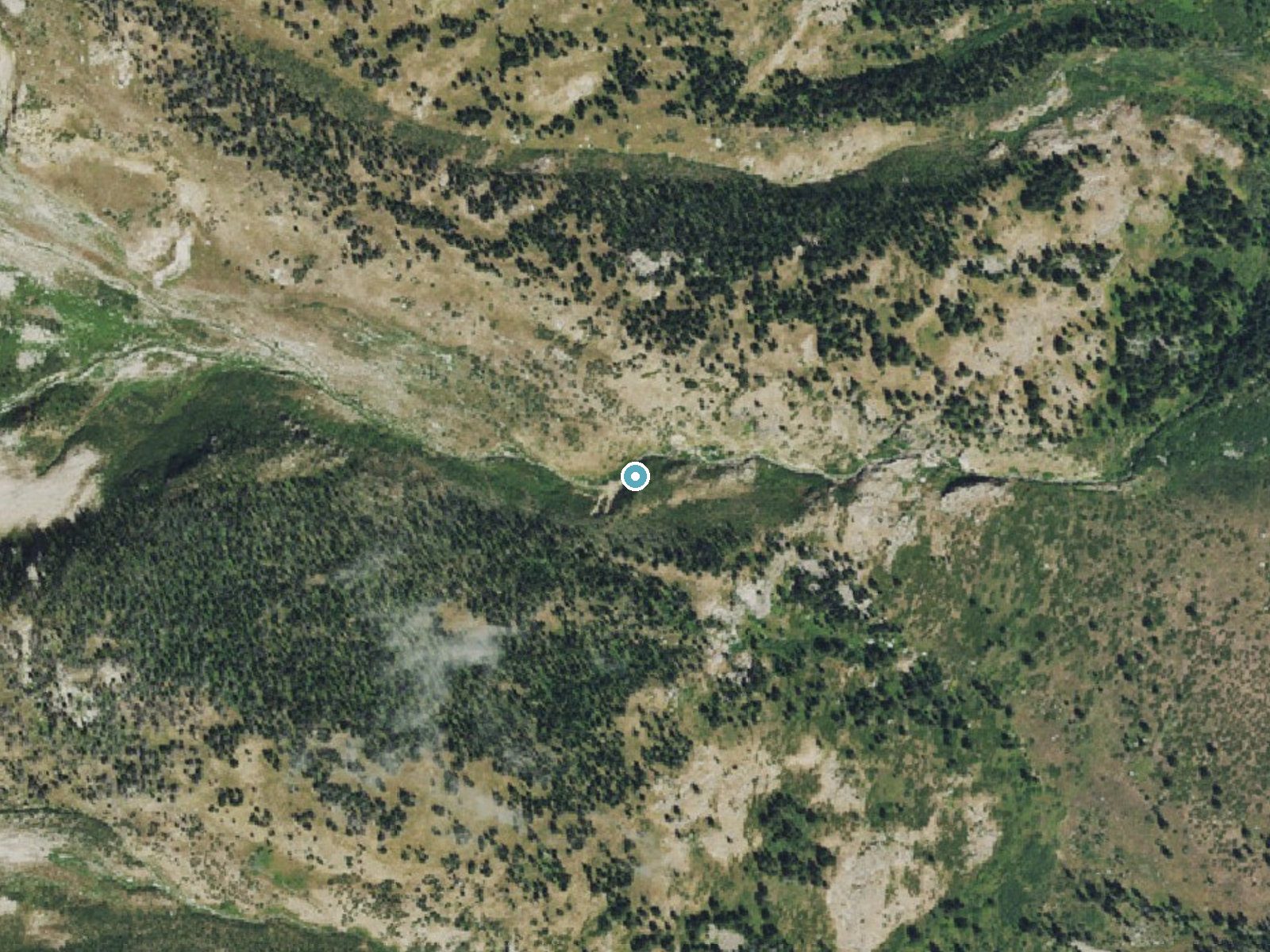
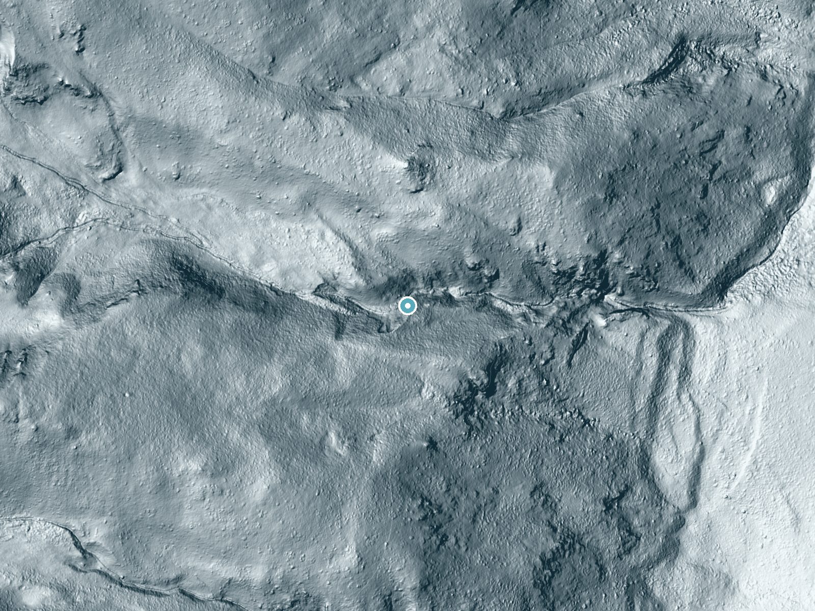
Drag to compare. The dot marks the waterfall. The frame is about a mile across.
- Ground elevation
- 8,012 feet
- Measured by 1-meter lidar
- Drop at the falls
- About 297 feet
- Change in ground height within ~250 feet of the falls
- Faces
- Northeast
- Catches soft morning light.
A slice through the lidar ground surface, from above the falls to downstream (heading northeast).
Elevation data: USGS 3D Elevation Program. Aerial imagery: USGS The National Map. Public domain.
Location & Access
Getting There
Broken Falls is located within Yellowstone National Park. To access it, visitors typically start from the Gibbon Falls parking area and follow a short trail upstream along the Gibbon River. The trailhead is accessible via the Grand Loop Road.
Get Directions on Google MapsParking
Parking is available at the Gibbon Falls parking area, which is a designated lot along the Grand Loop Road. Spaces may fill up during peak hours.
Elevation
7,992 feet above sea level
Coordinates
43.744655° N, -110.754935° W
Land Management
Managed by NPS
Visitor Tips & Gear
Visit early in the morning or late in the afternoon to avoid crowds. Wear sturdy shoes, as the trail may be uneven in some areas. Bring water and a camera to capture the scenic views.
This trail sits at 7,992 ft above sea level
Elevated TrailUV radiation is roughly 32% stronger at this elevation than at sea level, and the dry air accelerates dehydration. Extra sun protection and fluids go a long way.
As an Amazon Associate, we earn from qualifying purchases.

Coppertone Sport SPF 50 Sunscreen
UV intensity jumps ~4% per 1,000 ft — at this elevation you can burn in half the time.

Sun Bum SPF 30 Lip Balm (3-Pack)
Lips have almost no natural UV protection and burn fast in thin, dry mountain air.

Liquid I.V. Electrolyte Packets
You lose moisture ~2x faster at elevation — electrolytes help you absorb water efficiently.

ROCKNIGHT Polarized UV400 Sunglasses
High-altitude glare off rock and water is intense — UV400 lenses block 99%+ of UVA/UVB.
Where to Stay
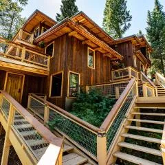
Elk Country Inn
Jackson Hole Hideout
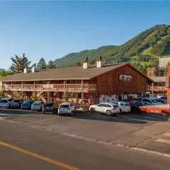
Antler Inn

Faraway Jackson Hole
Browse vacation cabins and private rentals nearby
Unique outdoor stays — tents, yurts, and treehouses
Rent a campervan or RV for your waterfall road trip
Some links are affiliate links. We may earn a commission at no extra cost to you.
Nearby Campground
TETON CANYON
8.2 miles away · 27 sites
Overview Teton Canyon Campground is located in beautiful Teton Canyon at an elevation of approximately 6,500 feet. Driggs, Idaho is just 11 miles away. Hiking, backpacking and horseback riding are popular activities in this scenic region.Recreation The towering Teton Range and Jedediah Smith Wilderness are adjacent to the canyon. Excellent hiking, backpacking and horseback riding opportunities abound, with trails leaving from the campground. A horse staging area is located at the trailhead parkin
Book on Recreation.govNearby Hot Springs
Hot springs near Driggs, Wyoming

Abercrombie Warm Springs
Abercrombie Warm Springs flows at 81°F within Grand Teton National Park, requiring a 104-meter walk from Warm Springs Road. The...

Kelly Warm Spring
Kelly Warm Spring flows at 81 degrees Fahrenheit just 108 meters from Gros Ventre Road at 6,684 feet elevation in Grand Teton N...
Jackson Lake Hot Springs
Jackson Lake Hot Springs emerges at 162 degrees Fahrenheit along Jackson Lake's northwestern shore in Grand Teton National Park...
Boyles Hill Springs
Boyles Hill Springs emerges at 86°F near Wilson in Teton County's valley floor, flowing 45.8 degrees above ambient temperature ...

Astoria Mineral Hot Springs
Astoria Mineral Hot Springs flows at 99°F from a roadside location 75.9 meters from West Johnny Counts Road in Teton County, Wy...
Taylor Springs
Taylor Springs surfaces at 68 degrees Fahrenheit near Victor in Teton County, running 26.7 degrees above ambient air at 6,092 f...
Looking for a soak after your hike? Explore more hot springs near Driggs, Wyoming on SoakingSprings.
Explore Wyoming springsAdditional Information
Nearby Attractions
Gibbon Falls, Artist Paint Pots, Norris Geyser Basin
Wildlife
The area around Broken Falls is home to various wildlife, including elk, bison, and birds. Visitors should maintain a safe distance from all animals.
Cities near Broken Falls
Nearby Waterfalls
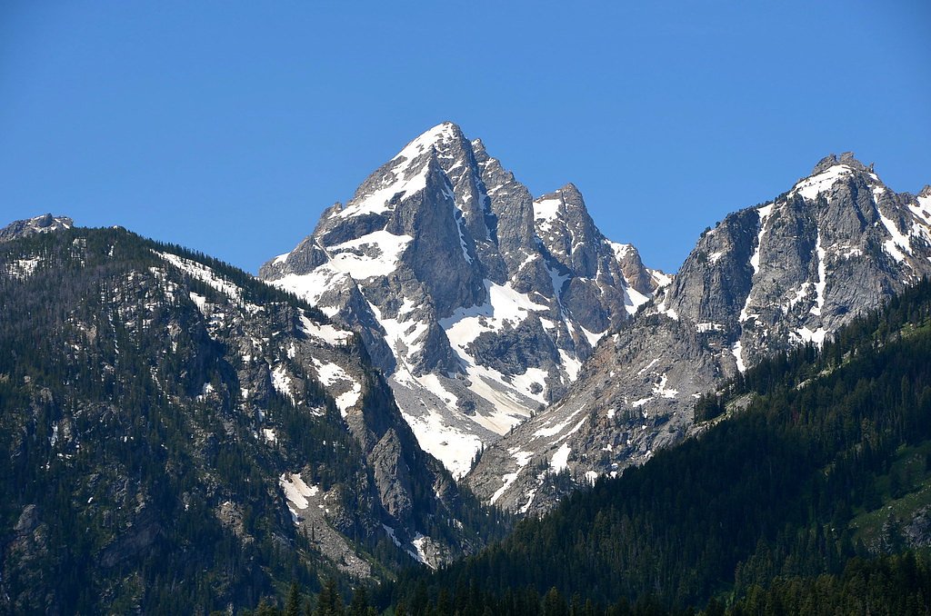
Writing about Broken Falls? Embed this waterfall on your site for free.