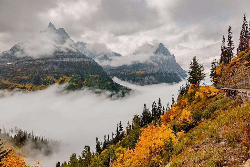
Bird Woman Falls
Montana • Glacier National Park • 492 ft
By Armen Suny · Last verified Sep 2026
LiDAR & 3D terrain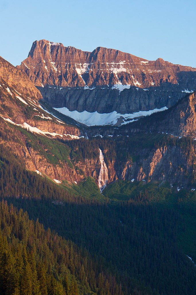
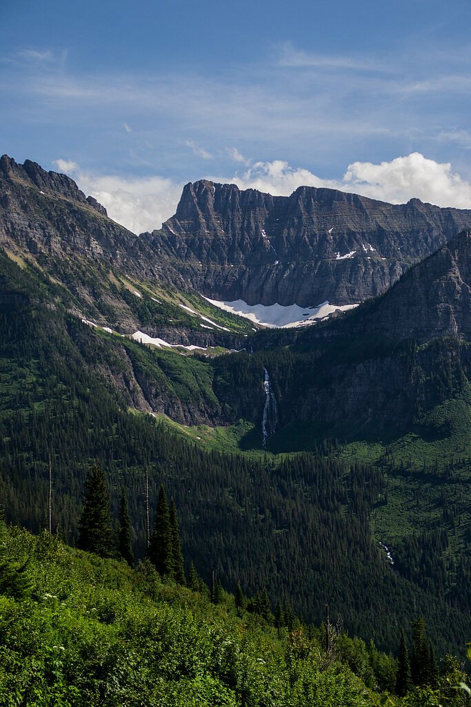
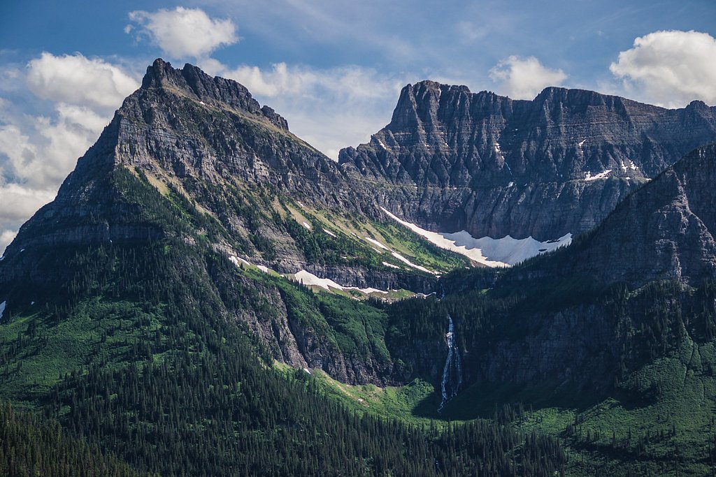
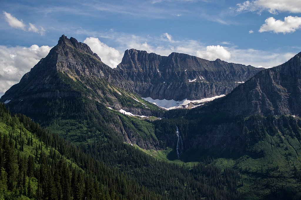
Photo Credits (5)
Difficulty
Drive Up
About Bird Woman Falls
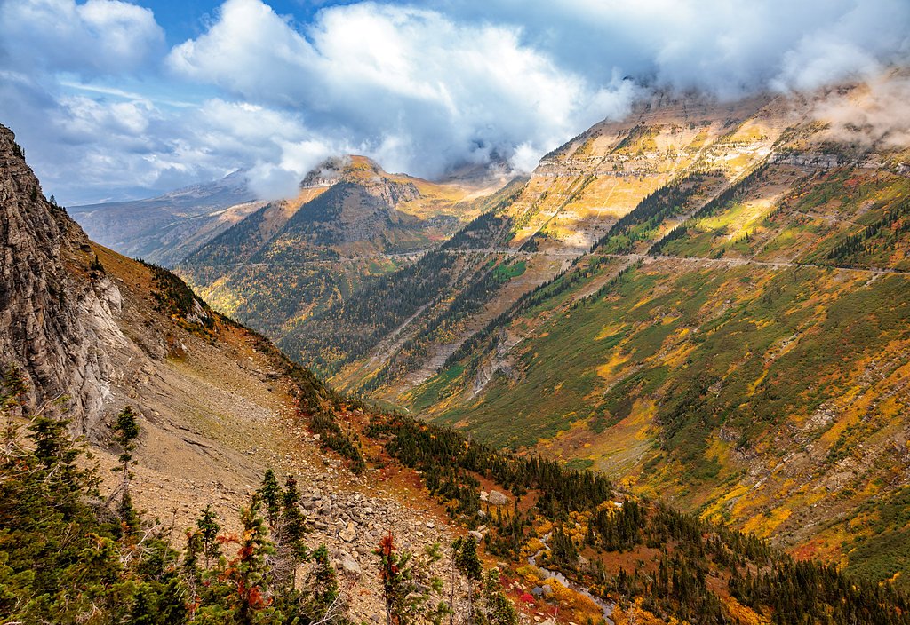
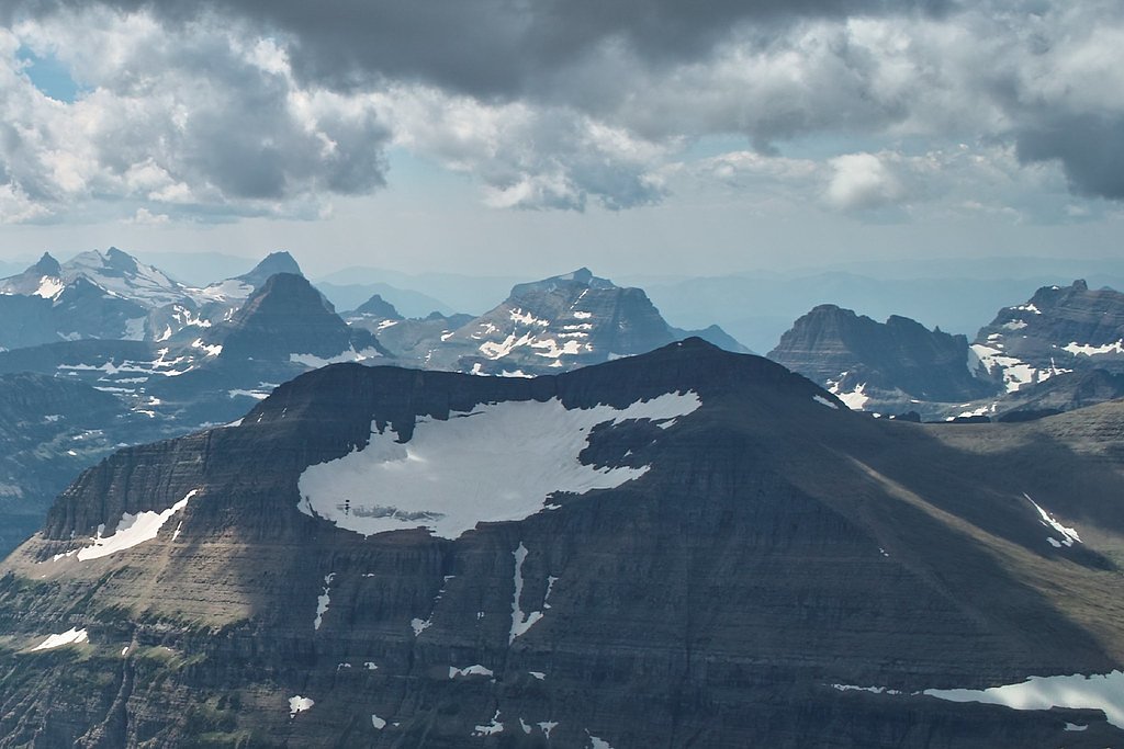
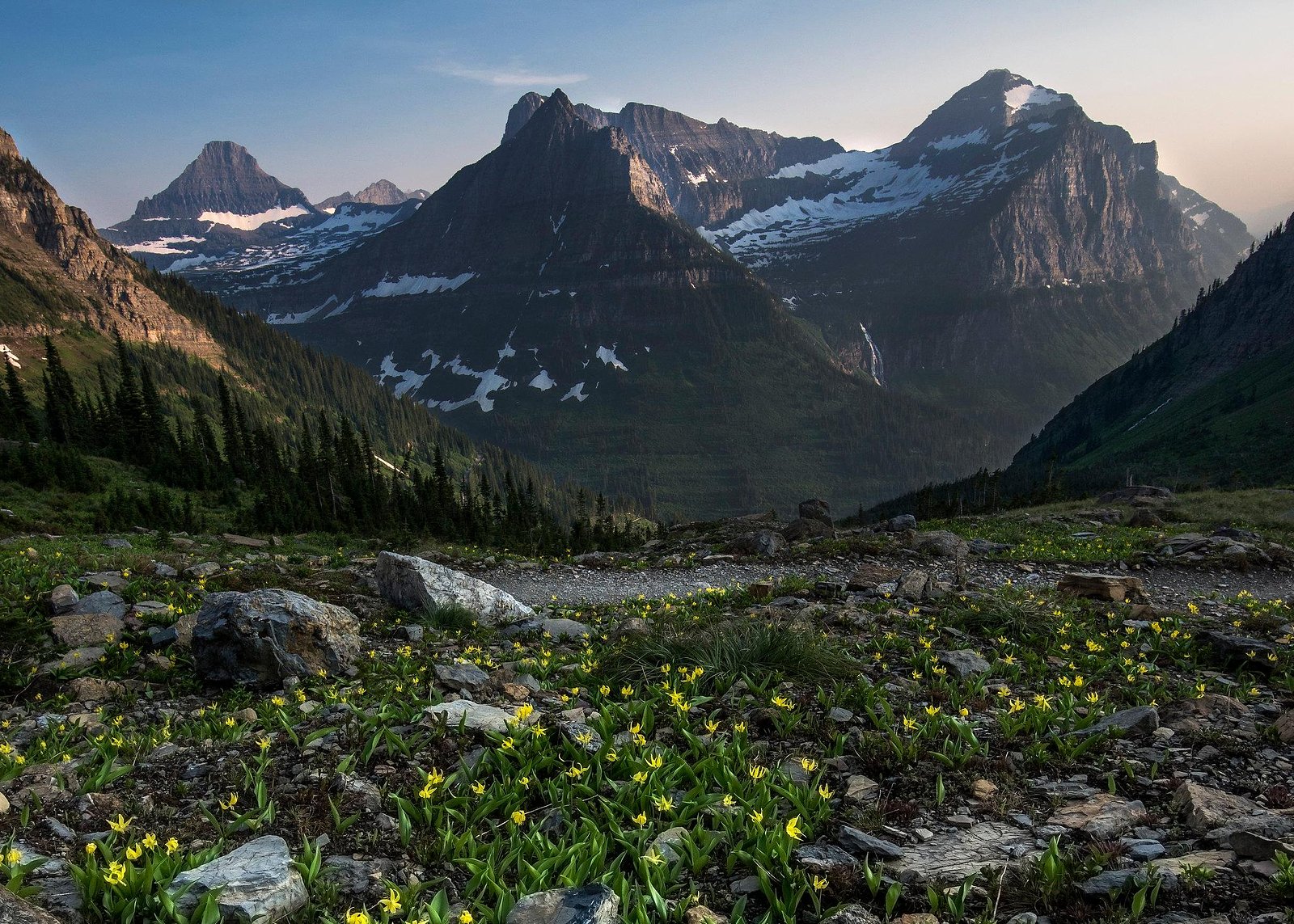
Bird Woman Falls is a stunning waterfall located in Glacier National Park, Montana. It cascades down the western slopes of Mount Oberlin and is visible from the Going-to-the-Sun Road. The waterfall is fed by glacial melt and is most prominent during the spring and early summer months when snowmelt is at its peak.
The Setting
Bird Woman Falls sits at 5,751 feet within Glacier National Park, fed by the Swiftcurrent Creek, in the high mountains of Montana. At 492 feet, it is among the taller waterfalls in Montana.
Height: 492 feet
Trail & Hike Details
The Approach
No hiking required. Bird Woman Falls is accessible by vehicle with a roadside viewing area.
Trail Description
Bird Woman Falls does not require a hike to view, as it is visible from the Going-to-the-Sun Road. Visitors can enjoy the view from designated pullouts along the road.
What to Expect
The falls plunge a dramatic 492 feet.
Accessibility
This waterfall is viewable from a vehicle-accessible area. No hiking is required.
Frequently Asked Questions
🐶 Are Dogs Allowed at Bird Woman Falls?
❌ Dogs are not allowed
Are There Any Fees or Permits Required?
🤑 Fee: $35.00
Permit required
A vehicle reservation is required to access the Going-to-the-Sun Road during peak season (May through September). Additionally, a park entrance fee is required.
🏊 Is There Swimming at Bird Woman Falls?
❌ Swimming is not allowed
When to Visit
The best time to visit Bird Woman Falls is in late spring or early summer when the snowmelt is at its peak, making the waterfall more dramatic.
Seasonal Access
The best time to visit is Spring, Summer, and Fall. Access roads and trails may close during winter due to snow. Check with Glacier National Park for current conditions.
Safety Information
Be cautious when stopping along the Going-to-the-Sun Road, as traffic can be heavy during peak season. Always stay on designated pullouts and avoid walking on the road. Weather can change rapidly in Glacier National Park, so be prepared for sudden rain or wind.
Current Water Conditions
50 ft³/s
Current discharge — how much water is flowing
About average for this time of year
Based on 112 years of record
1.72 ft
Water depth at gauge
7-Day Discharge Trend
What does this mean for your visit?
Flow is about average for this time of year.
About This Gauge
This gauge is on a nearby waterway and may not reflect exact conditions at the falls.
7-Day Flow Outlook
Based on the USGS gauge Swiftcurrent Creek at Many Glacier MT (12 km away).
Today
Barely Flowing
54 cfs
3/10Tomorrow
Low
55 cfs
4/10Sun
Barely Flowing
52 cfs
5/10Mon
Barely Flowing
48 cfs
5/10Tue
Barely Flowing
52 cfs
2/10Wed
Barely Flowing
55 cfs
2/10Thu
Barely Flowing
54 cfs
2/10Best window: Sun — barely flowing flow, mostly sunny (trip score 5/10).
Best time of year: this gauge typically runs highest from late April to late July, peaking in June.
How we calculate this
This is a transparent outlook, not a precise forecast. We take the waterfall's current flow strength (how it ranks against its historical normal for today, from the nearest USGS stream gauge), carry that ranking forward along the gauge's seasonal curve, and nudge it for forecast rain. Confidence is highest for the next day or two and falls further out. Always check official conditions and your own judgment before visiting — high flows can be dangerous.
Know when to go.
Get a free email alert when waterfalls near Saint Mary hit peak flow. We only send when conditions are worth the trip — no weekly newsletters, no spam.
Weather Forecast
The Terrain, Seen by LiDAR
Aircraft-mounted lasers measured this ground to within inches. Trees and buildings are digitally stripped away, leaving the bare shape of the land the water has carved.
Along the line through the falls, the bare ground drops about 615 feet, most of it in one sheer step, the signature of a plunge waterfall. The listed height of 492 feet matches what the lidar sees. The ground at the falls is roughly 5,726 feet above sea level.
The whole reach is steep: about 120 feet of descent in the 500 feet above the falls and another 602 feet in the 500 feet below. The falls face north and stay mostly shaded, with soft, even light all day.
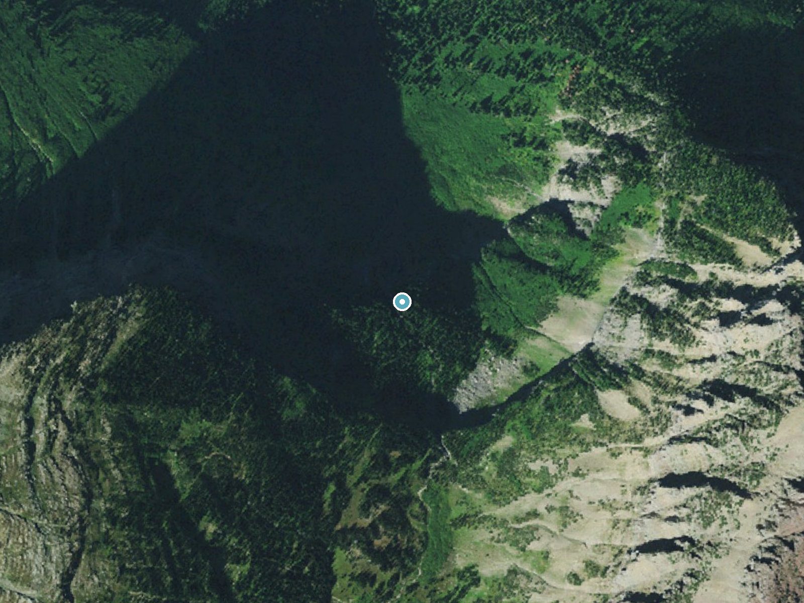
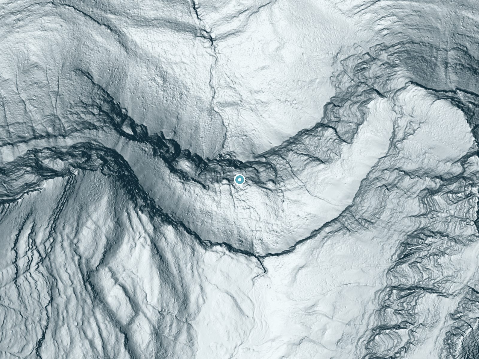
Drag to compare. The dot marks the waterfall. The frame is about a mile across.
- Ground elevation
- 5,726 feet
- Measured by 1-meter lidar
- Drop at the falls
- About 615 feet
- Change in ground height within ~250 feet of the falls
- Faces
- North
- Mostly shaded, so the light stays soft and even all day.
A slice through the lidar ground surface, from above the falls to downstream (heading north).
Elevation data: USGS 3D Elevation Program. Aerial imagery: USGS The National Map. Public domain.
Location & Access
Getting There
Bird Woman Falls can be viewed from the Going-to-the-Sun Road, a scenic drive through Glacier National Park. The falls are best seen from the area near Logan Pass or from designated viewpoints along the road.
Get Directions on Google MapsParking
Parking is available at various pullouts along the Going-to-the-Sun Road. However, parking can be limited during peak season, so arriving early is recommended.
Elevation
5,751 feet above sea level
Coordinates
48.708030° N, -113.747616° W
Land Management
Managed by NPS
Visitor Tips & Gear
Visit early in the day to secure parking and avoid crowds. Bring binoculars or a camera with a zoom lens for a closer view of the falls. Be prepared for changing weather conditions, as the area can be windy and cool even in summer.
This trail sits at 5,751 ft above sea level
Elevated TrailUV radiation is roughly 23% stronger at this elevation than at sea level, and the dry air accelerates dehydration. Extra sun protection and fluids go a long way.
As an Amazon Associate, we earn from qualifying purchases.

Coppertone Sport SPF 50 Sunscreen
UV intensity jumps ~4% per 1,000 ft — at this elevation you can burn in half the time.

Sun Bum SPF 30 Lip Balm (3-Pack)
Lips have almost no natural UV protection and burn fast in thin, dry mountain air.

Liquid I.V. Electrolyte Packets
You lose moisture ~2x faster at elevation — electrolytes help you absorb water efficiently.

ROCKNIGHT Polarized UV400 Sunglasses
High-altitude glare off rock and water is intense — UV400 lenses block 99%+ of UVA/UVB.
Where to Stay
St. Mary Village

Chief Mountain Cabins
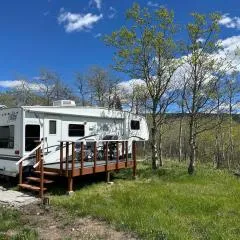
Glacier Borealis - 27’ Glamping Trailer by Glacier
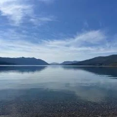
Walsh Cottage on the shores of Lake McDonald
Browse vacation cabins and private rentals nearby
Unique outdoor stays — tents, yurts, and treehouses
Rent a campervan or RV for your waterfall road trip
Some links are affiliate links. We may earn a commission at no extra cost to you.
Nearby Campground
Avalanche Campground
3.9 miles away · 91 sites
Overview Avalanche campground is located in one of the most popular sections of Glacier National Park west of the Continental Divide. The campground accommodates tent and RV campers. However, only 50 sites will accommodate vehicle lengths up to 26 feet. All sites require a reservation. Most sites have a 6-month booking window with a good handful having a 4-day booking window. Recreation Avalanche is in one of the most popular sections of Glacier National Park west of the Continental Divide. Two p
Book on Recreation.govAdditional Information
Nearby Attractions
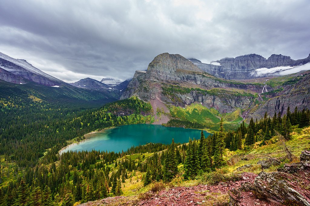
Nearby attractions include Logan Pass, Hidden Lake Trail, and the Weeping Wall along the Going-to-the-Sun Road.
Wildlife
Visitors may spot wildlife such as mountain goats, bighorn sheep, and marmots in the area. Bears are also present in Glacier National Park, so visitors should exercise caution.
Cities near Bird Woman Falls
Nearby Waterfalls
Writing about Bird Woman Falls? Embed this waterfall on your site for free.