
Photo Credits (5)
Difficulty
Drive Up
Trail Length
0.1 miles
Trail Type
Out And Back
Elevation Gain
50 ft
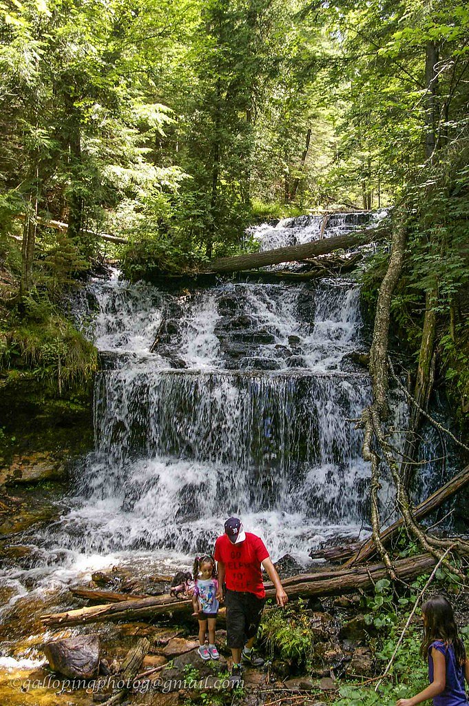
About Munising Falls
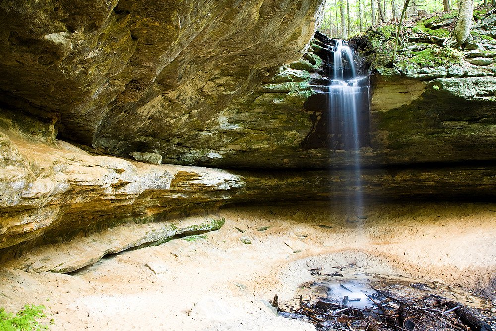
Munising Falls is a picturesque 50-foot waterfall located in Munising, Michigan, within the Pictured Rocks National Lakeshore. It is easily accessible and surrounded by lush forest, making it a popular destination for visitors year-round.
The Setting
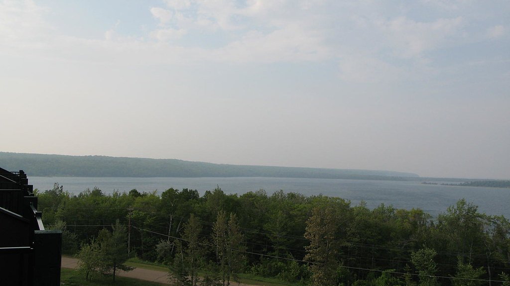
Munising Falls sits at 741 feet within Pictured Rocks National Lakeshore, in the foothills of Michigan. The falls drop 50 feet.
Height: 50 feet
Nearby Falls Worth Visiting
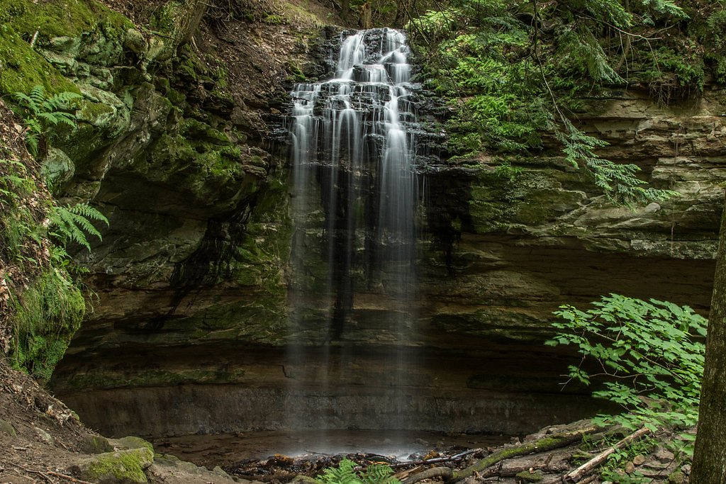
Tannery Falls (40 ft) lies 0.6 miles to the southwest. Also nearby: Wagner Falls (20 ft, 2.7 mi) and Alger Falls (15 ft, 2.4 mi).
Trail & Hike Details
The Approach
No hiking required. Munising Falls is accessible by vehicle with a roadside viewing area.
Trail Description
The trail to Munising Falls is a short, well-maintained path that is mostly flat and suitable for all ages. It includes a few wooden boardwalks and viewing platforms that provide excellent views of the waterfall.
What to Expect
The falls drop 50 feet. Dogs are welcome.
Accessibility
This waterfall is viewable from a vehicle-accessible area. No hiking is required.
Frequently Asked Questions
🐶 Are Dogs Allowed at Munising Falls?
✅ Dogs are allowed
Are There Any Fees or Permits Required?
🆖 No fees required
🏊 Is There Swimming at Munising Falls?
❌ Swimming is not allowed
When to Visit
Munising Falls is beautiful year-round, but spring offers the highest water flow, while fall provides vibrant foliage. Winter visitors can enjoy unique ice formations.
Seasonal Access
The best time to visit is Spring, Summer, Fall, and Winter.
Safety Information
Stay on designated trails and viewing platforms to avoid slippery or unstable areas. In winter, the trail may be icy, so wear appropriate footwear. Do not climb on or near the waterfall.
Know when to go.
Get a free email alert when waterfalls near Munising hit peak flow. We only send when conditions are worth the trip — no weekly newsletters, no spam.
Weather Forecast
Location & Access
Getting There
Munising Falls is located just off Washington Street in Munising, Michigan. The trailhead begins at the Munising Falls Visitor Center, which is well-marked and easy to find.
Get Directions on Google MapsParking
There is a designated parking area at the Munising Falls Visitor Center, which is free and typically has ample space.
Elevation
741 feet above sea level
Coordinates
46.422679° N, -86.621233° W
Land Management
Managed by NPS
Visitor Tips & Gear
Visit early in the morning or during weekdays to avoid crowds. In winter, wear appropriate footwear as the trail may be icy. Bring a camera to capture the beauty of the falls.
As an Amazon Associate, we earn from qualifying purchases.
For this easy 0.1 miles trail, lightweight trail shoes and a water bottle are usually sufficient. Icy conditions are common in winter — traction cleats are a smart addition.

Columbia Watertight II Rain Jacket
Packs into its own pocket, seam-sealed, and keeps you dry from spray and surprise rain.

Polarized Sunglasses (Knockaround)
Cuts glare off the water so you actually see the falls — and your photos turn out better too.

Earth Pak Waterproof Dry Bag
Keeps your phone and gear dry when waterfall mist soaks everything else.

Waterproof Phone Pouch (AiRunTech)
Cheap insurance — take photos right next to the falls without killing your phone.

Kahtoola MICROspikes
Cult-favorite traction cleats that grip ice and wet rock — essential for winter waterfall hikes.

JOBY GorillaPod Starter Kit
Wraps around railings and rocks for long-exposure waterfall shots — no flat surface needed.
Where to Stay

Comfort Inn & Suites Munising-Lakefront

Quality Inn & Suites Munising

North Star Hotel Pictured Rocks

Boarders Inn & Suites by Cobblestone Hotels - Munising
Browse vacation cabins and private rentals nearby
Unique outdoor stays — tents, yurts, and treehouses
Rent a campervan or RV for your waterfall road trip
Some links are affiliate links. We may earn a commission at no extra cost to you.
Nearby Campground
Munising Ranger District
1.6 miles away · 0 sites
Munising Ranger District is located on the northern part of the west side of the Hiawatha National Forest. Stop by for up-to-date information and suggestions for your trip.
Book on Recreation.govAdditional Information
Nearby Attractions
Other nearby attractions include Miners Castle, Miners Falls, and the Pictured Rocks National Lakeshore. The town of Munising also offers restaurants and shops.
Wildlife
Visitors may see birds, squirrels, and other small woodland animals. Be cautious of ticks in warmer months.
Cities near Munising Falls
Nearby Waterfalls

Writing about Munising Falls? Embed this waterfall on your site for free.