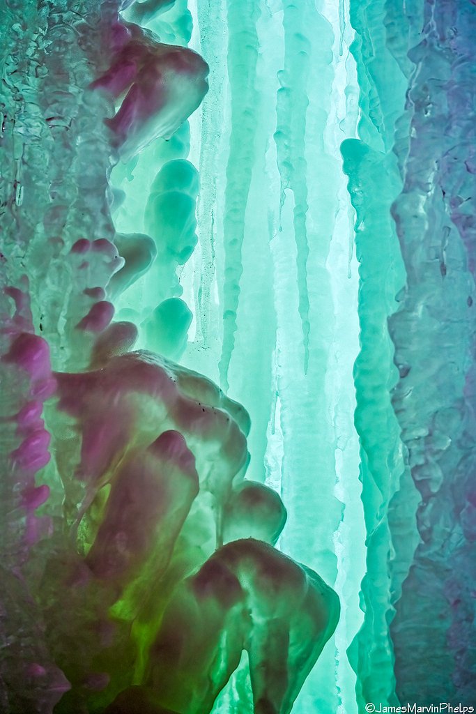

Photo Credits (5)
Difficulty
Easy
Trail Length
0.5 miles
Trail Type
Out And Back
About Memorial Falls
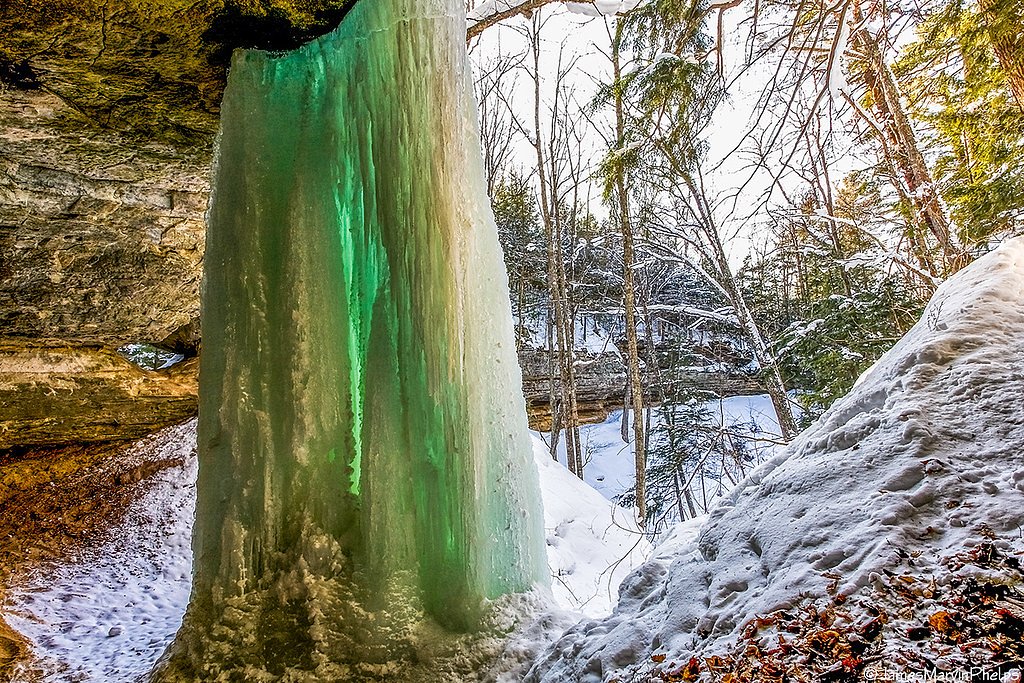
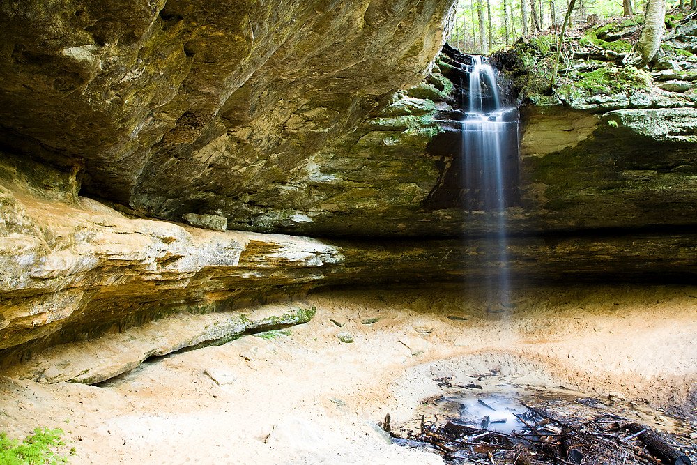
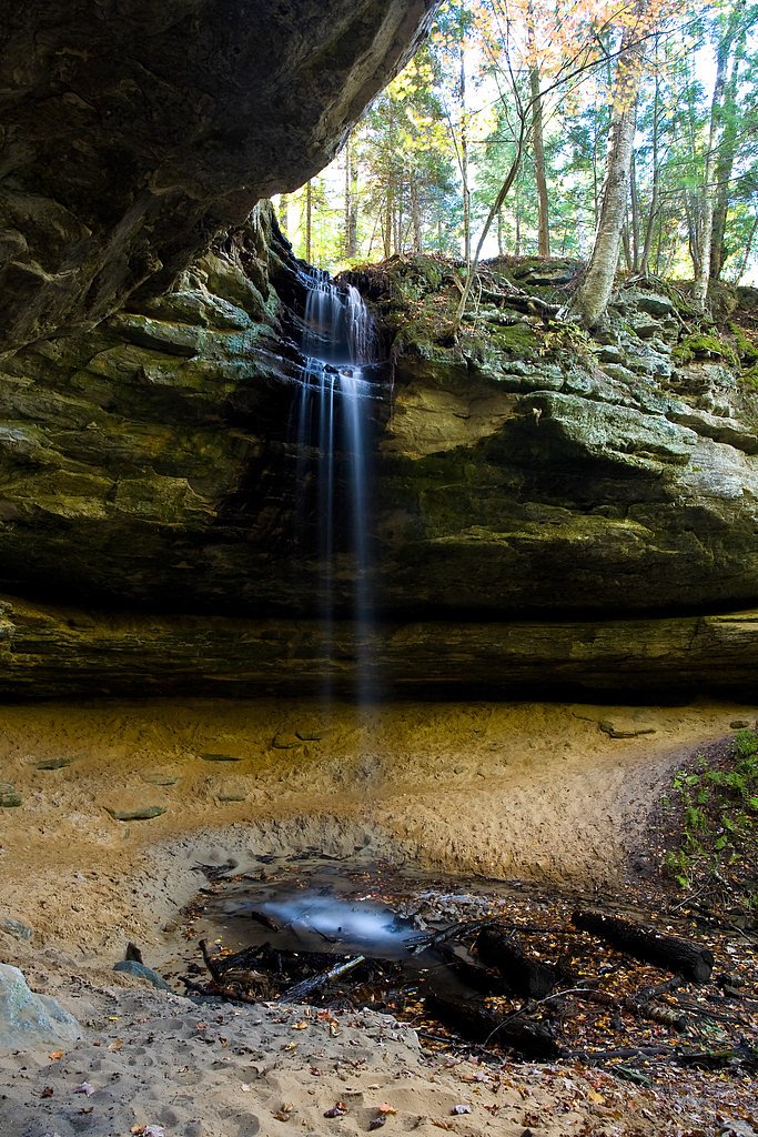
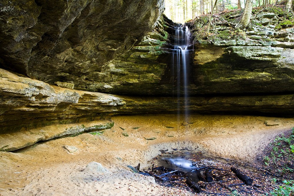
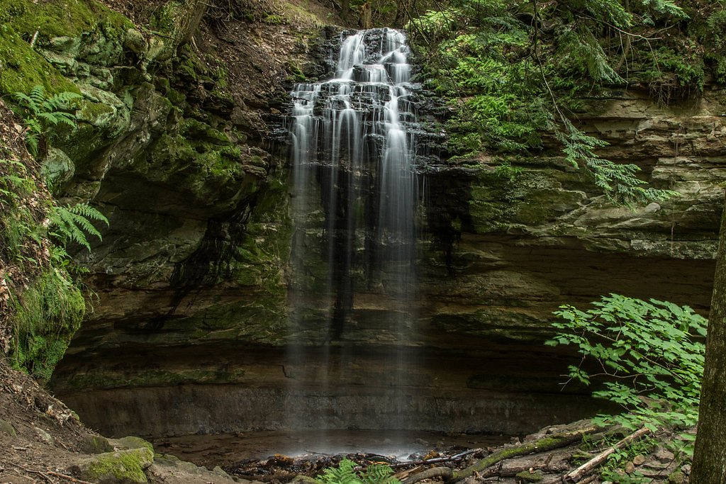
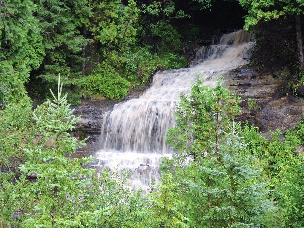
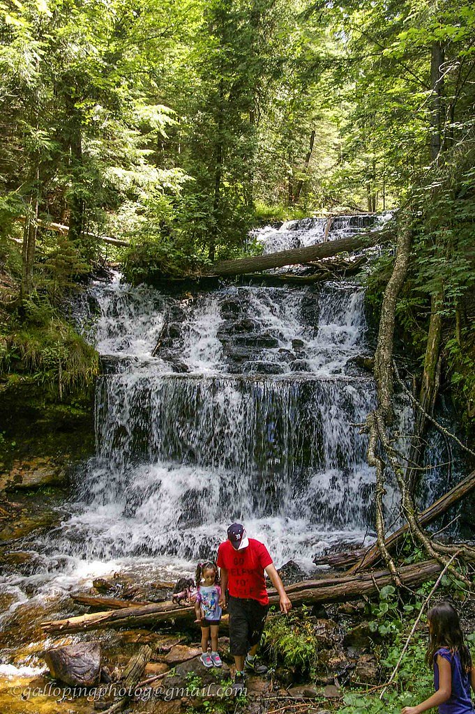
Memorial Falls sits just outside Munising in Michigan’s Upper Peninsula and is part of the cluster of scenic waterfalls that draws visitors to the area. The falls tumble over weathered sandstone cliffs that form small alcoves and ledges, and when flows are low you can walk behind the curtain of water for a close-up view of the rock strata. The setting is pleasantly wooded and intimate, making Memorial Falls a great stop for photographers and families exploring the local falls circuit. The hike to Memorial Falls is a moderate outing that rewards a short effort with a memorable waterfall experience. Camping is conveniently close — the Munising Ranger District campground sits only about 2.0 km away — so it’s easy to combine a morning or evening visit to the falls with an overnight in the area.
Nearby Falls Worth Visiting
Munising Falls (50 ft) lies 0.4 miles to the northeast. Also nearby: Tannery Falls (40 ft, 0.2 mi) and Wagner Falls (20 ft, 2.3 mi).
Trail & Hike Details
Trail Description
Trail type: out-and-back, 2.4 miles total with approximately 350 feet of elevation gain (moderate difficulty). The route follows a wooded footpath that winds through forest before opening to the sandstone cliff and waterfall; the approach can be uneven and the final area near the falls may be slippery, especially on wet rock. The trail is non-technical but involves steady uphill sections on the return, so hikers should wear sturdy footwear and expect a moderate grade rather than a flat stroll.
What to Expect
Dogs are welcome.
Accessibility
The trail is short and relatively flat, but the surface may be uneven. Contact the managing agency for accessibility details.
Frequently Asked Questions
🐶 Are Dogs Allowed at Memorial Falls?
✅ Dogs are allowed
Are There Any Fees or Permits Required?
🆖 No fees required
🏊 Is There Swimming at Memorial Falls?
❌ Swimming is not allowed
When to Visit
Spring and early summer are the best times to visit, as the waterfall tends to have the highest flow during these seasons.
Seasonal Access
The best time to visit is Spring, Summer, and Fall. Winter access may be limited.
Safety Information
The trail can be slippery after rain, and the area around the falls may have loose rocks. Exercise caution when exploring near the waterfall.
Know when to go.
Get a free email alert when waterfalls near Munising hit peak flow. We only send when conditions are worth the trip — no weekly newsletters, no spam.
Weather Forecast
The Terrain, Seen by LiDAR
Aircraft-mounted lasers measured this ground to within inches. Trees and buildings are digitally stripped away, leaving the bare shape of the land the water has carved.
1-meter lidar shows the creek losing roughly 72 feet through Memorial Falls over a long run of ledges. Elevation at the pin is about 732 feet.
The ground changes about 26 feet in the 500 feet above the falls and 86 feet in the 500 feet below. The falls face west and glow in afternoon and evening light.
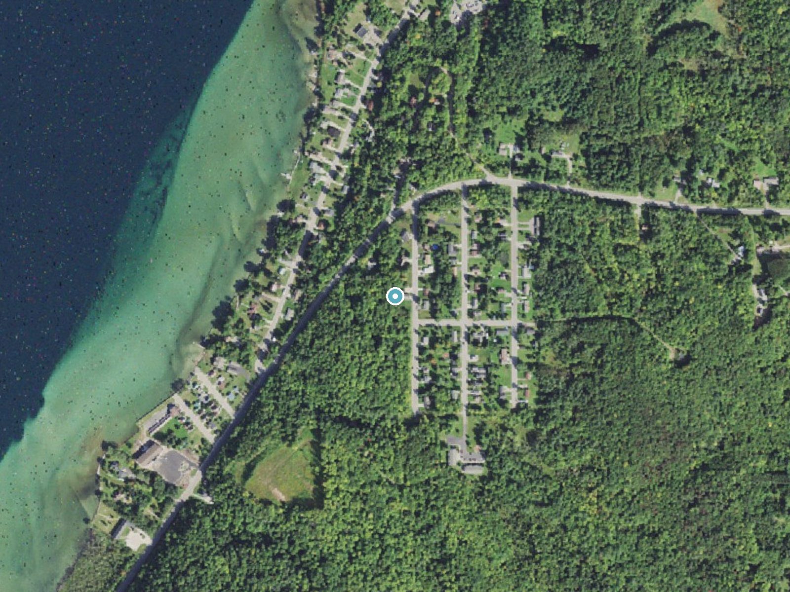
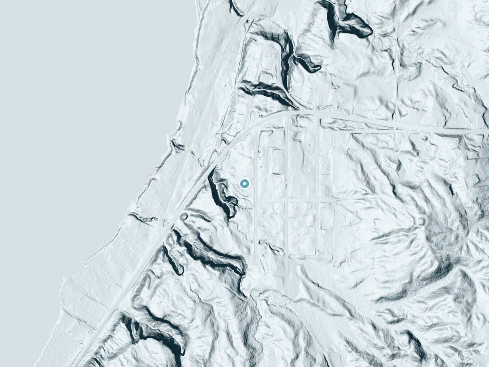
Drag to compare. The dot marks the waterfall. The frame is about a mile across.
- Ground elevation
- 732 feet
- Measured by 1-meter lidar
- Drop at the falls
- About 68 feet
- Change in ground height within ~250 feet of the falls
- Faces
- West
- Glows in afternoon and evening light.
A slice through the lidar ground surface, from above the falls to downstream (heading west).
Elevation data: USGS 3D Elevation Program. Aerial imagery: USGS The National Map. Public domain.
Location & Access
Getting There
Memorial Falls is located just outside Munising, Michigan. The trailhead is accessible from a small parking area off H-58. Look for signs indicating the trail to Memorial Falls.
Get Directions on Google MapsParking
There is a small parking area near the trailhead, but space may be limited during peak seasons.
Elevation
732 feet above sea level
Coordinates
46.418333° N, -86.626667° W
Visitor Tips & Gear
Visit early in the day to avoid crowds, especially during the summer. Wear sturdy shoes as the trail can be muddy after rain. Bring a camera to capture the unique sandstone formations and the waterfall.
Where to Stay
Comfort Inn & Suites Munising-Lakefront

Quality Inn & Suites Munising

North Star Hotel Pictured Rocks

Boarders Inn & Suites by Cobblestone Hotels - Munising
Browse vacation cabins and private rentals nearby
Unique outdoor stays — tents, yurts, and treehouses
Rent a campervan or RV for your waterfall road trip
Some links are affiliate links. We may earn a commission at no extra cost to you.
Nearby Campground
Munising Ranger District
1.2 miles away · 0 sites
Munising Ranger District is located on the northern part of the west side of the Hiawatha National Forest. Stop by for up-to-date information and suggestions for your trip.
Book on Recreation.govAdditional Information
Nearby Attractions
Other nearby waterfalls include Munising Falls, Miners Falls, and Wagner Falls. Pictured Rocks National Lakeshore is also a short drive away.
Wildlife
The area is home to various bird species, deer, and small mammals. Be cautious of insects like mosquitoes during warmer months.
Cities near Memorial Falls
Nearby Waterfalls
Other waterfalls named Memorial Falls
1 other waterfall shares this name across the U.S.
Writing about Memorial Falls? Embed this waterfall on your site for free.