
Photo Credits (5)
Difficulty
Moderate
Trail Length
2.4 miles
Trail Type
Out And Back
Elevation Gain
350 ft
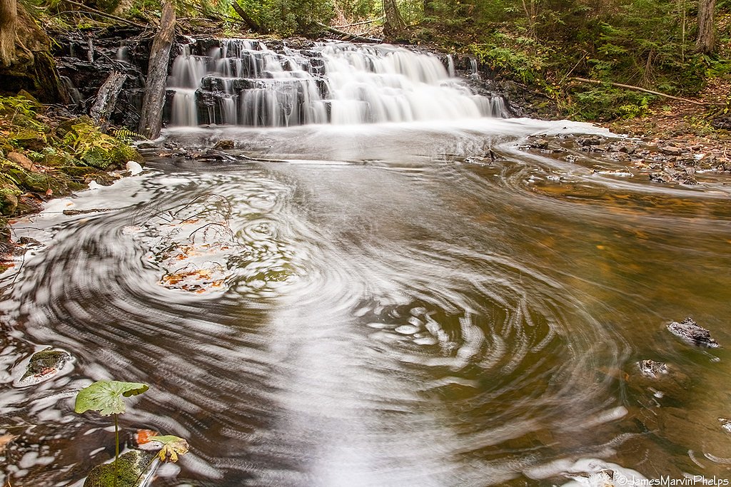
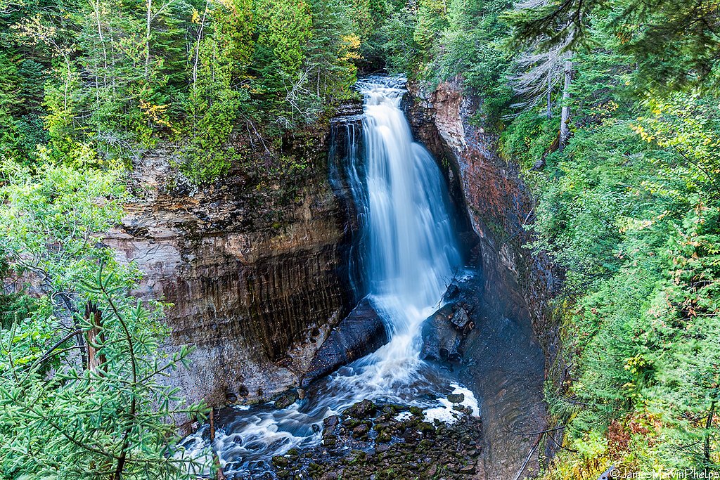
About Mosquito Falls
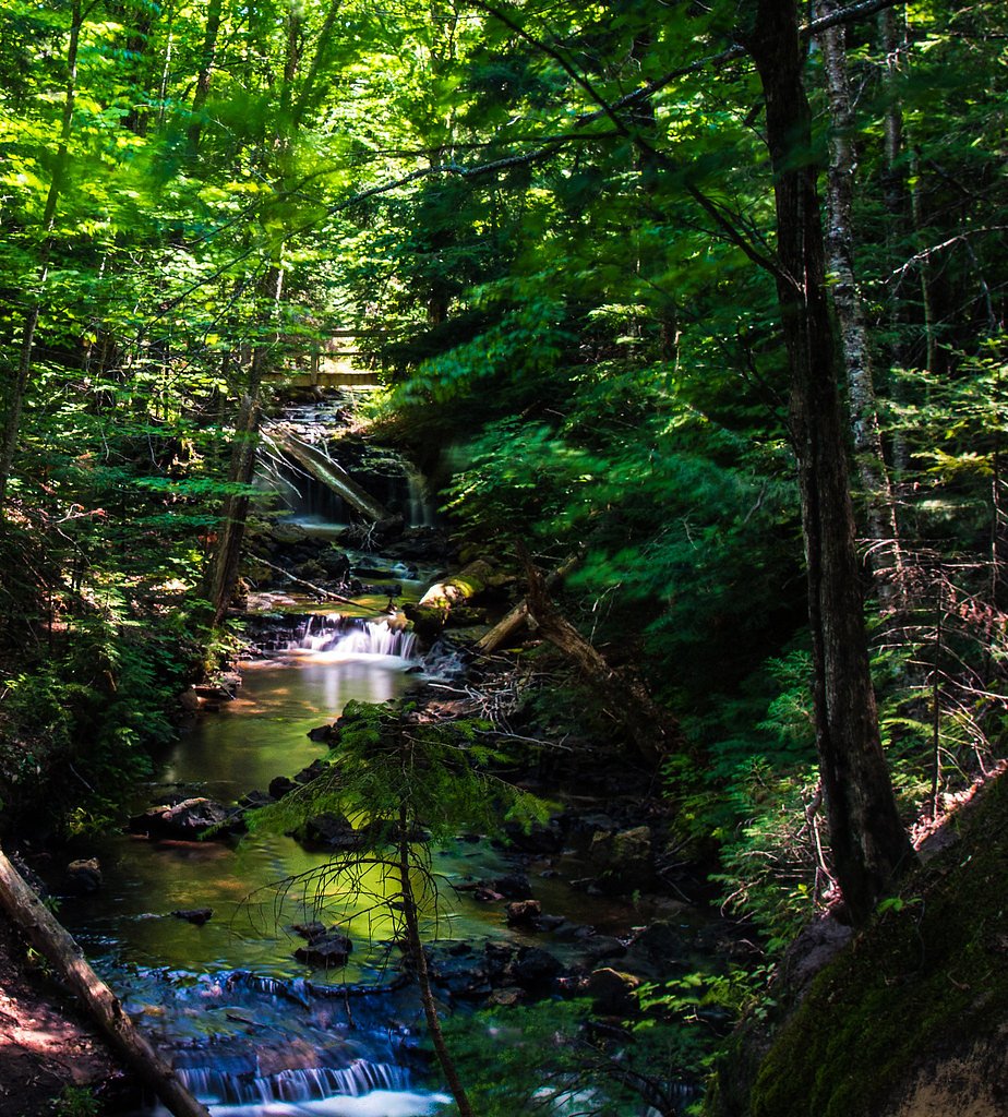
Mosquito Falls is a picturesque waterfall located within Pictured Rocks National Lakeshore in Michigan. It is a smaller waterfall but offers a serene and scenic experience, surrounded by lush forested areas.
The Setting
Mosquito Falls sits at 745 feet within Pictured Rocks National Lakeshore, in the foothills of Michigan.
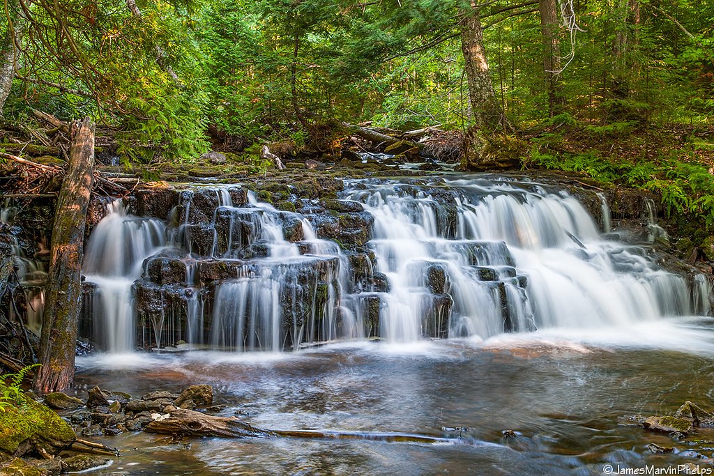
Nearby Falls Worth Visiting
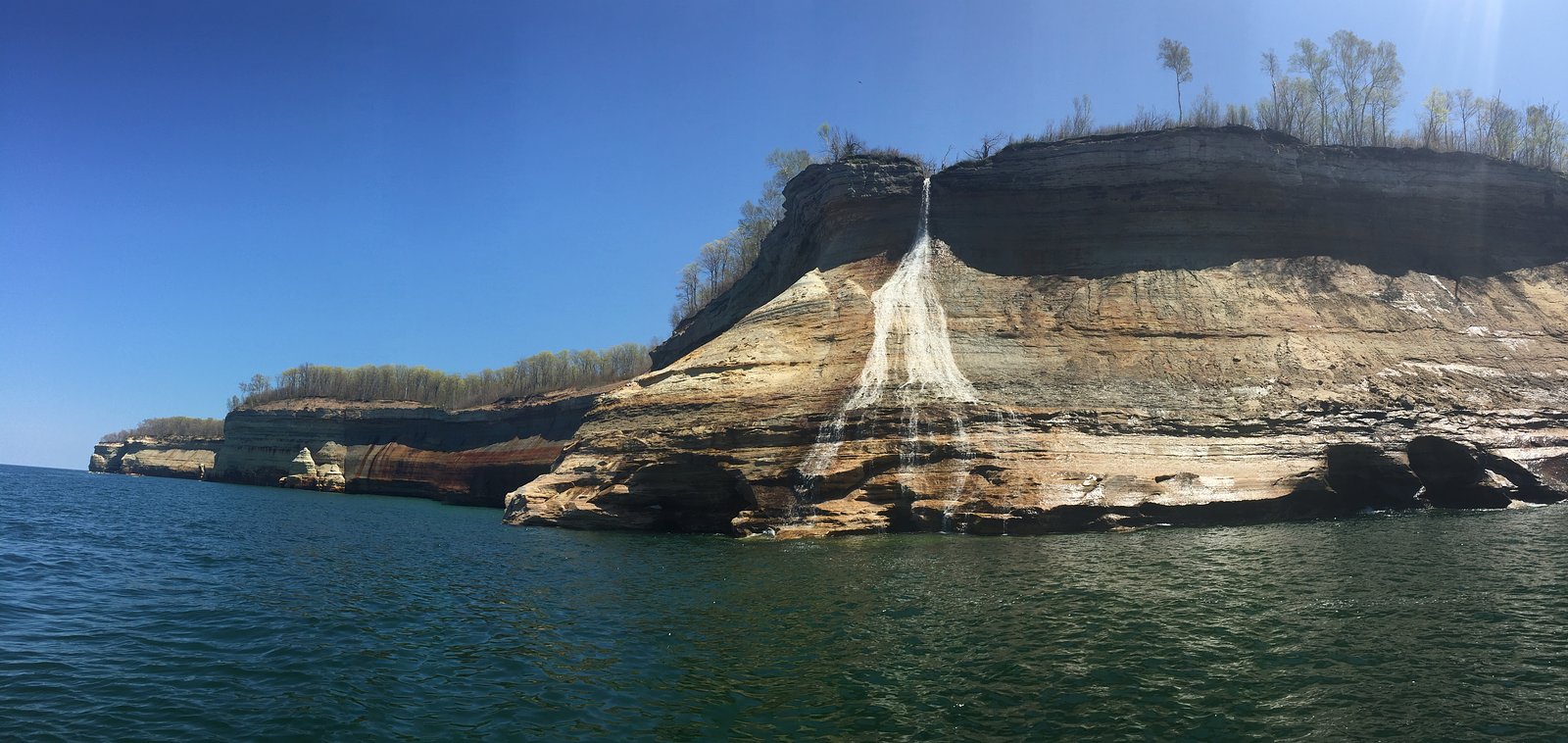
Spray Falls (70 ft) lies 4.3 miles to the northeast. Also nearby: Chapel Falls (60 ft, 1.8 mi) and Munising Falls (50 ft, 9.4 mi).
Trail & Hike Details
The Approach
The moderate 2.4-mile out-and-back trail gains 350 feet of elevation on the way to the falls.
Trail Description
The trail to Mosquito Falls is a moderately challenging hike through a forested area. The path can be muddy and uneven, especially after rain, and includes some small inclines. The trail is well-marked and offers a peaceful journey to the waterfall.
What to Expect
Dogs are welcome.
Accessibility
The trail is not wheelchair accessible. Uneven terrain and elevation changes require steady footing.
Frequently Asked Questions
🐶 Are Dogs Allowed at Mosquito Falls?
✅ Dogs are allowed
Are There Any Fees or Permits Required?
🤑 Fee: $10.00
🏊 Is There Swimming at Mosquito Falls?
❌ Swimming is not allowed
When to Visit
Spring and early summer are ideal for visiting Mosquito Falls, as the water flow is typically stronger during these seasons. Fall offers beautiful foliage, while summer provides warmer weather for hiking.
Seasonal Access
The best time to visit is Spring, Summer, and Fall. Winter access may be limited.
Safety Information
Be cautious of muddy and slippery sections of the trail, especially after rain. Carry bug spray to protect against mosquitoes. Always stay on marked trails to avoid getting lost.
Know when to go.
Get a free email alert when waterfalls near Munising hit peak flow. We only send when conditions are worth the trip — no weekly newsletters, no spam.
Weather Forecast
Location & Access
Getting There
Mosquito Falls is accessed via the Mosquito Falls Trail, which begins near the Chapel-Mosquito trailhead parking area within Pictured Rocks National Lakeshore. The trailhead is located off Chapel Road, which is a gravel road leading into the park.
Get Directions on Google MapsParking
Parking is available at the Chapel-Mosquito trailhead, but it can fill up quickly during peak seasons. Arrive early to secure a spot.
Elevation
745 feet above sea level
Coordinates
46.516124° N, -86.477623° W
Land Management
Managed by NPS
Visitor Tips & Gear
Wear sturdy hiking shoes, as the trail can be muddy and uneven. Bring bug spray, especially in the summer, as mosquitoes are common in the area. Arrive early to secure parking and avoid crowds.
As an Amazon Associate, we earn from qualifying purchases.
With 2.4 miles and 350 ft of elevation gain, sturdy boots and trekking poles will help on this moderate trail. Sun exposure on the trail makes good sun protection a must in summer.

Polarized Sunglasses (Knockaround)
Cuts glare off the water so you actually see the falls — and your photos turn out better too.

Columbia Watertight II Rain Jacket
Packs into its own pocket, seam-sealed, and keeps you dry from spray and surprise rain.

Earth Pak Waterproof Dry Bag
Keeps your phone and gear dry when waterfall mist soaks everything else.

Waterproof Phone Pouch (AiRunTech)
Cheap insurance — take photos right next to the falls without killing your phone.

Timberland Euro Sprint Mid Waterproof
Trusted waterproof boot with premium leather and grippy rubber sole — reliable on rocky, wet trails.

TrailBuddy Trekking Poles
Lightweight aluminum, cork grips, and flip-locks that actually hold — a best-seller for good reason.
Where to Stay

Comfort Inn & Suites Munising-Lakefront

Roam Inn

Quality Inn & Suites Munising

Scotty's Motel
Browse vacation cabins and private rentals nearby
Unique outdoor stays — tents, yurts, and treehouses
Rent a campervan or RV for your waterfall road trip
Some links are affiliate links. We may earn a commission at no extra cost to you.
Nearby Campground
Little Beaver Campground
6.2 miles away · 9 sites
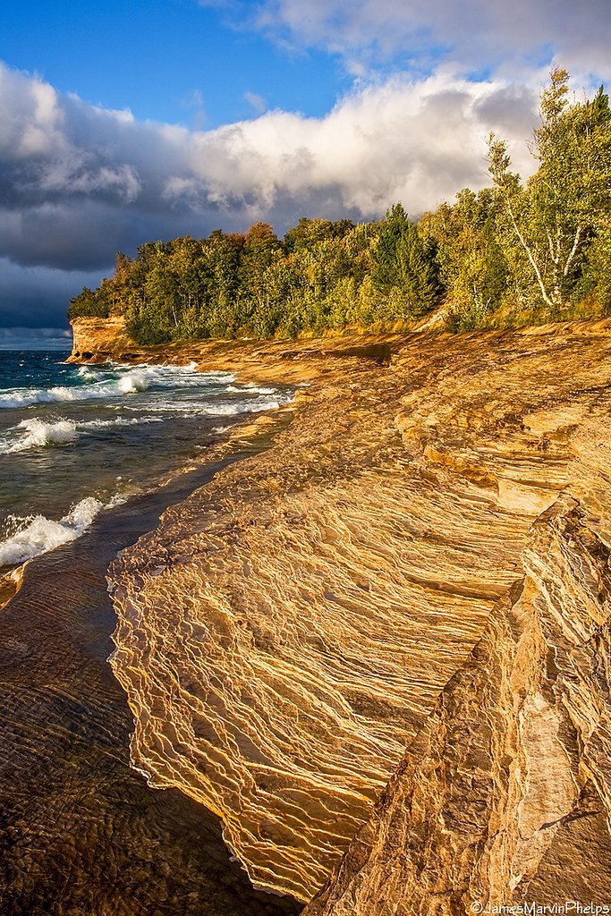
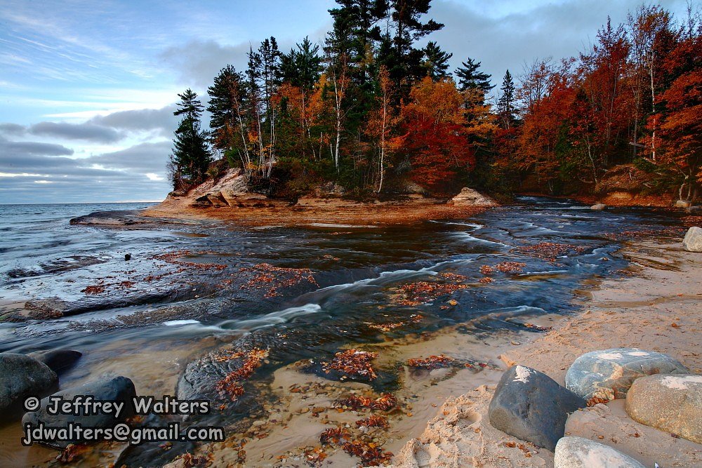
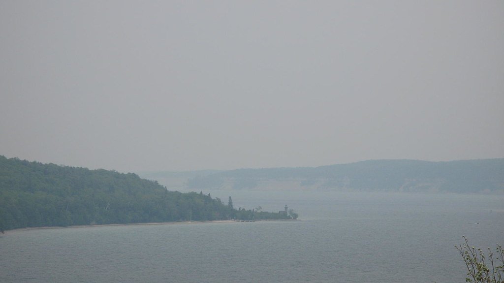
Overview Pictured Rocks National Lakeshore hugs the Lake Superior shoreline for more than 40 miles (64 km) along Michigan's northern coast. Lake Superior is the largest, deepest, coldest, and most pristine of all the Great Lakes. Camping at Pictured Rocks National Lakeshore is a great way to relax and enjoy the beauties the lakeshore has to offer. Campgrounds are rustic, and do not provide electric or sewer hookups. Campers, trailers, and RVs are welcome, note there are generator free areas. Cell
Book on Recreation.govAdditional Information
Nearby Attractions
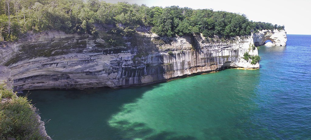
Chapel Falls, Chapel Rock, and Lake Superior shoreline are nearby attractions within Pictured Rocks National Lakeshore.
Wildlife
The area is home to a variety of wildlife, including deer, birds, and small mammals. Mosquitoes and other insects are common, especially in warmer months.
Cities near Mosquito Falls
Nearby Waterfalls
Writing about Mosquito Falls? Embed this waterfall on your site for free.