Photo Credits (5)
Difficulty
Moderate
Trail Length
2.4 miles
Trail Type
Out And Back
Elevation Gain
350 ft
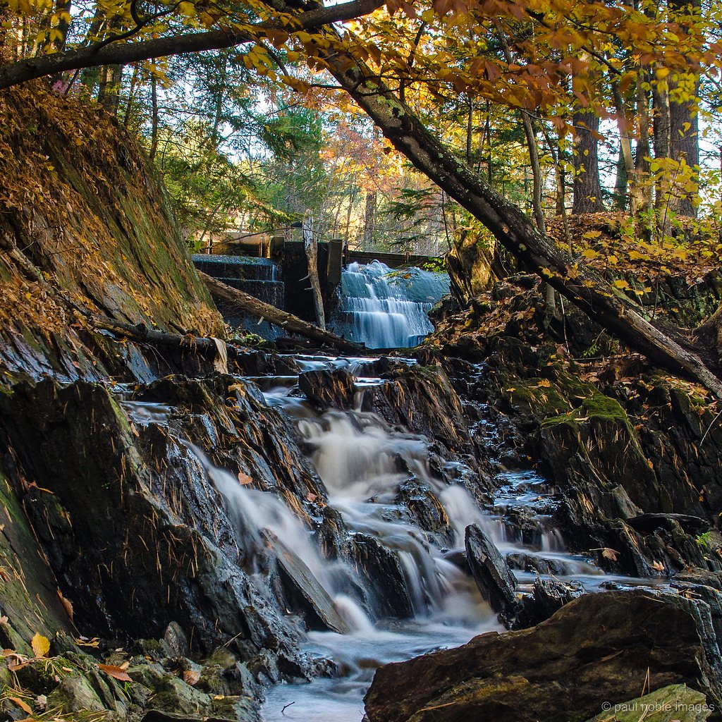
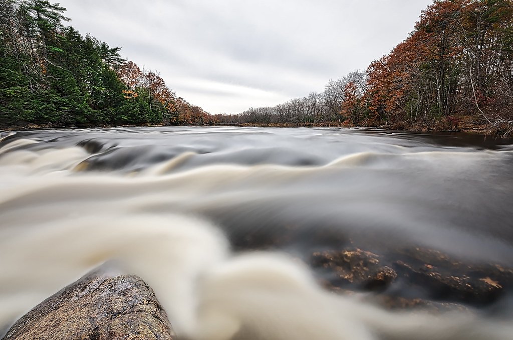
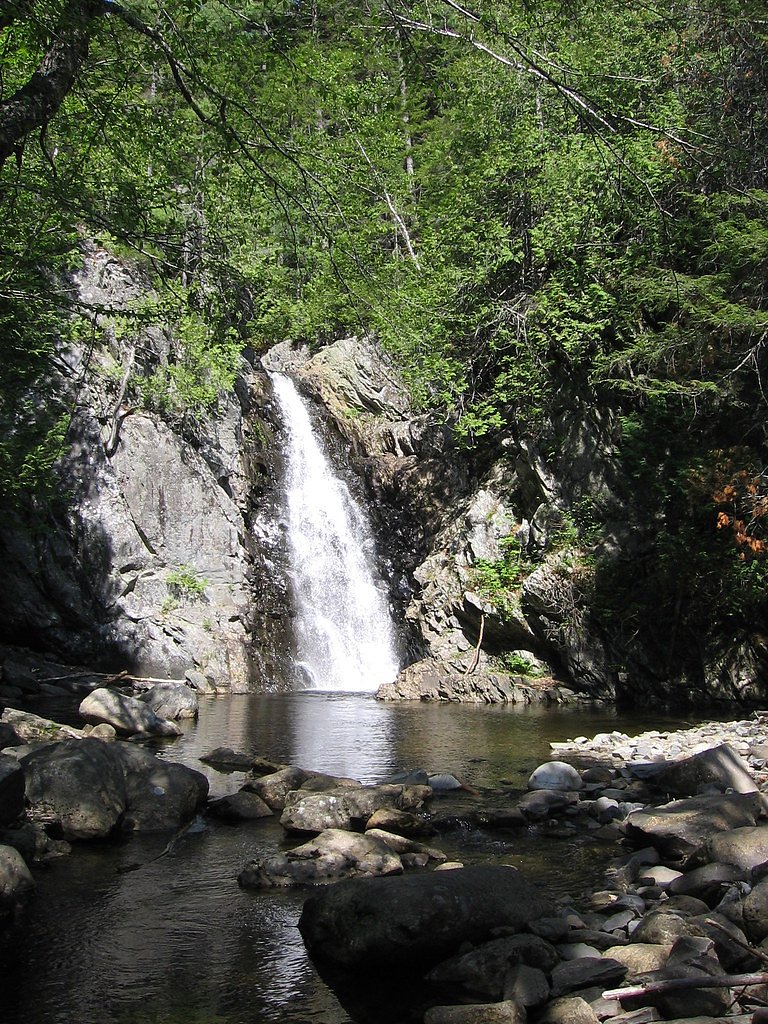
About Long Falls
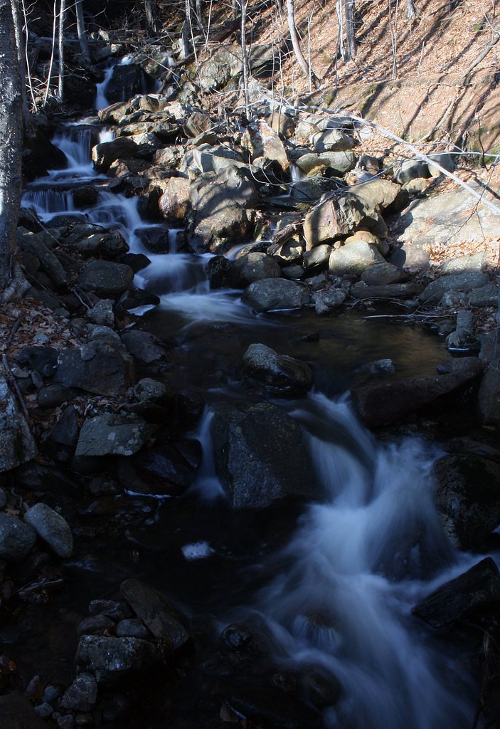
Long Falls sits on Maine’s Dead River Peninsula within land managed by SPR (designation: LOTH), offering a peaceful, scenic cascade that draws hikers and photographers alike. The falls’ flow varies with the seasons—spring and early summer typically deliver the most impressive water levels—making visits rewarding at different times of year. The setting feels tucked away, perfect for those seeking a quieter slice of Maine’s river country under SPR stewardship. Access is via a 2.4-mile out-and-back route on SPR-managed land, making this a manageable day outing for hikers comfortable with moderate terrain. The hike climbs roughly 350 feet and is commonly rated moderate; expect natural, uneven footing and sections with roots, rocks, or mud. Pack sturdy shoes and water, and you’ll be well set to enjoy the falls and the surrounding forested landscape.
The Setting
Long Falls sits at 1,155 feet within Dead River Peninsula, fed by the Dead River, in the foothills of Maine.
Trail & Hike Details
The Approach
The moderate 2.4-mile out-and-back trail gains 350 feet of elevation on the way to the falls.
Trail Description
Trail length: 2.4 miles (out-and-back). Elevation gain: ~350 feet. Difficulty: Moderate. The route follows a natural tread with uneven sections—roots, rocks and occasional muddy stretches are common—so trail shoes with good traction are recommended. The ascent is moderate rather than steep, and the route is a straightforward hiking trail (no technical climbing required).
What to Expect
Visitors to Long Falls can expect a tranquil natural setting with the sound of cascading water and opportunities for photography or relaxation. The area may also feature lush vegetation and wildlife typical of Maine's forests.
Accessibility
The trail is not wheelchair accessible. Uneven terrain and elevation changes require steady footing.
Frequently Asked Questions
🐶 Are Dogs Allowed at Long Falls?
❌ Dogs are not allowed
Are There Any Fees or Permits Required?
🆖 No fees required
🏊 Is There Swimming at Long Falls?
❌ Swimming is not allowed
When to Visit
The best time to visit Long Falls is during spring or early summer when water flow is at its peak. Fall also offers beautiful foliage, enhancing the scenic experience.
Seasonal Access
The best time to visit is Spring, Summer, and Fall. Winter access may be limited.
Safety Information
Visitors should be cautious of slippery rocks near the waterfall and uneven terrain on the trail. Always stay on marked paths and avoid getting too close to the edge of the falls. Cell phone reception may be limited in the area.
Current Water Conditions
1,390 ft³/s
Current discharge — how much water is flowing
About average for this time of year
Based on 54 years of record
5.67 ft
Water depth at gauge
7-Day Discharge Trend
What does this mean for your visit?
Flow is about average for this time of year.
About This Gauge
Know when to go.
Get a free email alert when waterfalls near Kingfield hit peak flow. We only send when conditions are worth the trip — no weekly newsletters, no spam.
Weather Forecast
Location & Access
Getting There
Long Falls is located in a remote area of Maine. Visitors typically access the site via local roads, but specific directions may vary depending on the starting point. It is recommended to use a GPS or consult local maps for accurate navigation.
Get Directions on Google MapsParking
Parking availability is uncertain, but visitors may find small pull-off areas or designated parking spots near the trailhead. It is advisable to arrive early during peak seasons to secure a spot.
Elevation
1155 feet above sea level
Coordinates
45.227832° N, -70.203400° W
Land Management
Managed by SPR
Visitor Tips & Gear
Wear sturdy footwear suitable for hiking, and bring insect repellent, especially during the summer months. Check weather conditions before your visit, as trails may become slippery after rain.
As an Amazon Associate, we earn from qualifying purchases.
With 2.4 miles and 350 ft of elevation gain, sturdy boots and trekking poles will help on this moderate trail. Sun exposure on the trail makes good sun protection a must in summer.

Polarized Sunglasses (Knockaround)
Cuts glare off the water so you actually see the falls — and your photos turn out better too.

Columbia Watertight II Rain Jacket
Packs into its own pocket, seam-sealed, and keeps you dry from spray and surprise rain.

Earth Pak Waterproof Dry Bag
Keeps your phone and gear dry when waterfall mist soaks everything else.

Waterproof Phone Pouch (AiRunTech)
Cheap insurance — take photos right next to the falls without killing your phone.

Timberland Euro Sprint Mid Waterproof
Trusted waterproof boot with premium leather and grippy rubber sole — reliable on rocky, wet trails.

TrailBuddy Trekking Poles
Lightweight aluminum, cork grips, and flip-locks that actually hold — a best-seller for good reason.
Where to Stay

Charming Bingham Home Near Outdoor Adventure, Pet Friendly!

The Sterling Inn

Sugarloaf Inn

All-Season Sanctuary: Steps to Moosehead Lake
Browse vacation cabins and private rentals nearby
Unique outdoor stays — tents, yurts, and treehouses
Rent a campervan or RV for your waterfall road trip
Some links are affiliate links. We may earn a commission at no extra cost to you.
Additional Information
Nearby Attractions
Nearby attractions may include other natural landmarks, hiking trails, or small towns in the region. Specific recommendations are not available.
Wildlife
The area around Long Falls may feature wildlife such as birds, deer, and small mammals. Visitors should be mindful of their surroundings and avoid disturbing the local fauna.
Cities near Long Falls
Nearby Waterfalls
Writing about Long Falls? Embed this waterfall on your site for free.