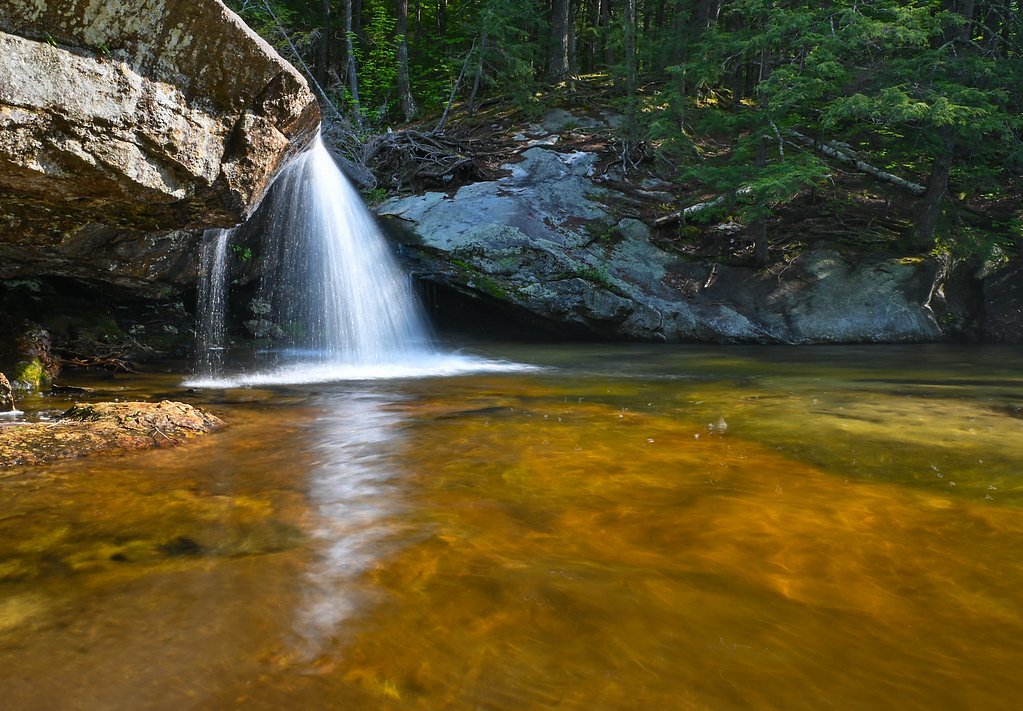
Livermore Falls
By Armen Suny · Last verified Mar 2026
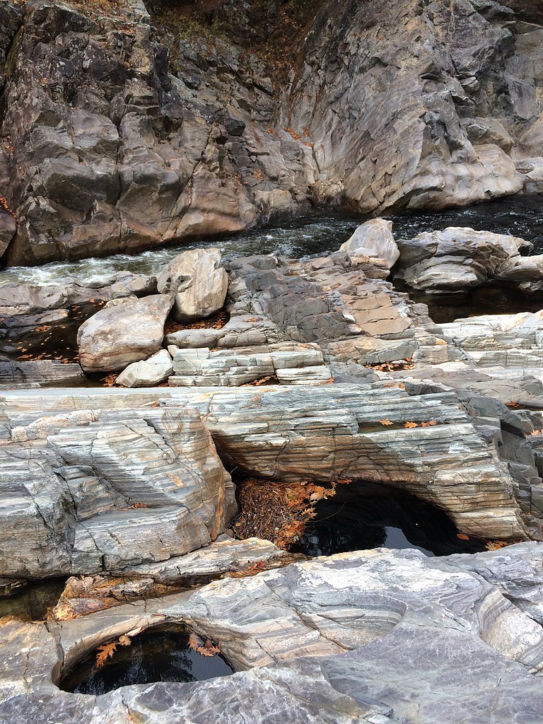
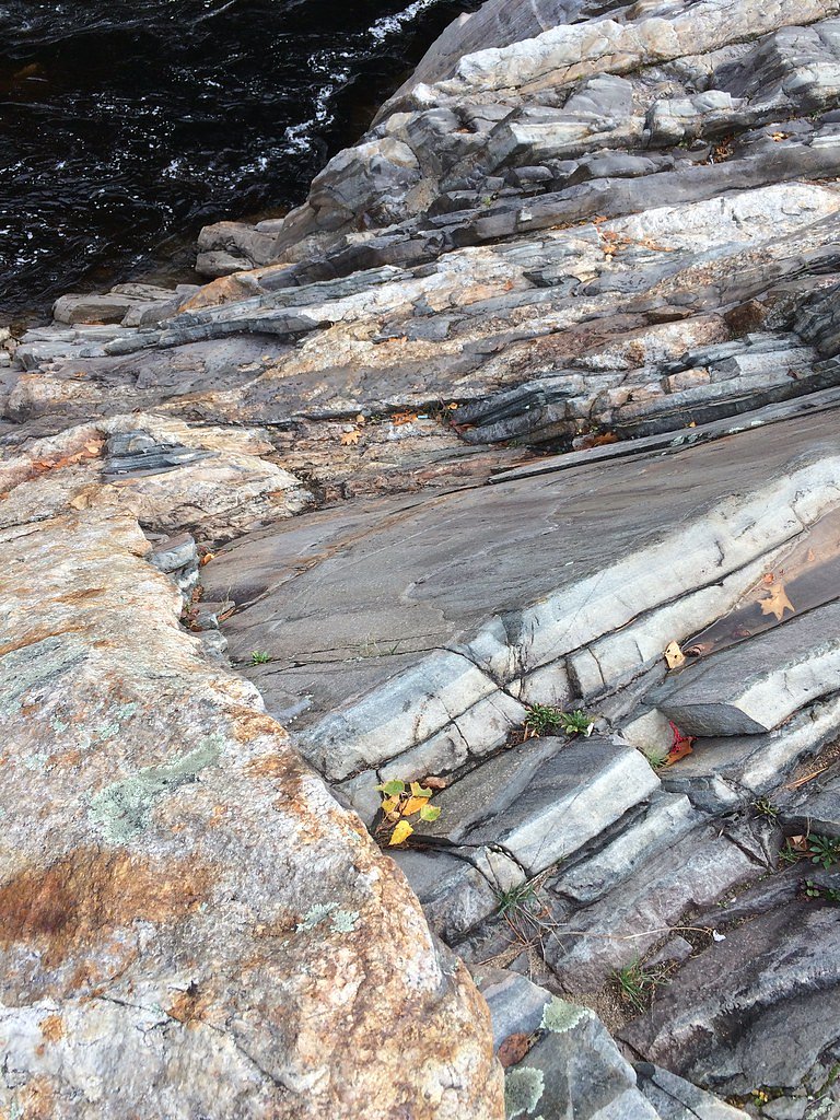
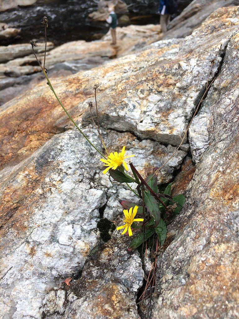
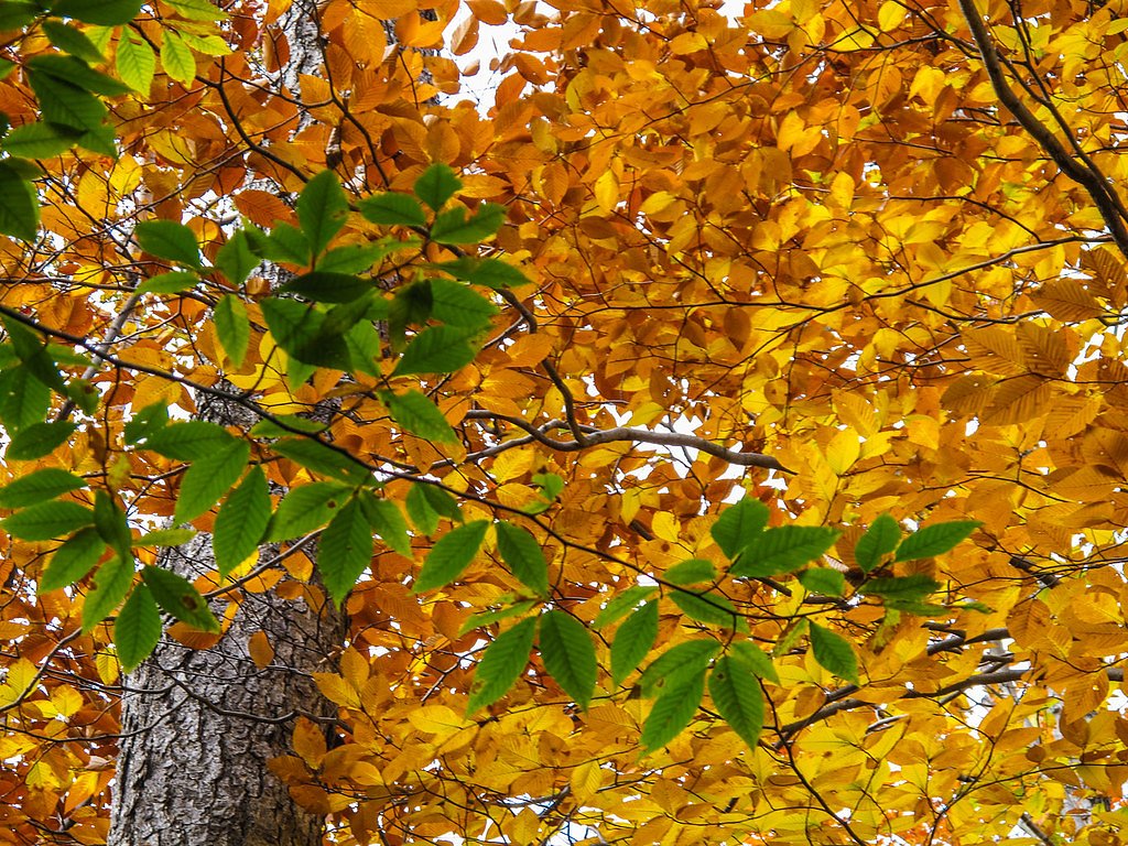
Photo Credits (5)
Difficulty
Moderate
Trail Length
2.4 miles
Trail Type
Out And Back
Elevation Gain
350 ft
About Livermore Falls
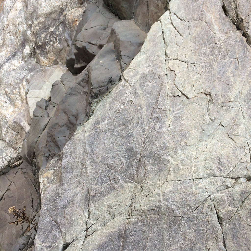
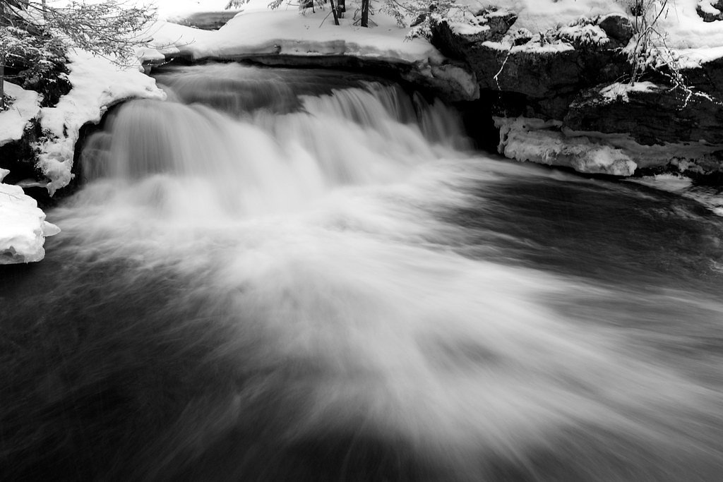
Livermore Falls is a scenic cascade on the Pemigewasset River in New Hampshire, framed by wooded riverbanks and valued for its historic role as a former mill site. The falls offer classic New England river scenery and are a favorite stop for photographers and anyone looking to enjoy the sound and motion of rushing water up close. The waterfall is reached via a short but rewarding hike: an out-and-back route that gives you several pleasant vantage points of the river and falls. The setting feels welcoming and photographic year-round—spring runoff and autumn color are especially striking—making it a nice half-day destination for hikers and nature enthusiasts.
The Setting
Livermore Falls sits at 564 feet along the Pemigewasset River, in the foothills of New Hampshire.
Trail & Hike Details
The Approach
The moderate 2.4-mile out-and-back trail gains 350 feet of elevation on the way to the falls.
Trail Description
The trail to Livermore Falls is a 2.4-mile out-and-back route with approximately 350 feet of elevation gain and is rated moderate. The tread is generally well-defined but includes some uneven and rocky sections and a few short, steeper pitches, so sturdy footwear is recommended. The path leads directly to a primary viewing area overlooking the falls and provides a straightforward, scenic hike suitable for day hikers and photographers.
What to Expect
Dogs are welcome.
Accessibility
The trail is not wheelchair accessible. Uneven terrain and elevation changes require steady footing.
Frequently Asked Questions
🐶 Are Dogs Allowed at Livermore Falls?
✅ Dogs are allowed
Are There Any Fees or Permits Required?
🆖 No fees required
🏊 Is There Swimming at Livermore Falls?
❌ Swimming is not allowed
When to Visit
Spring and early summer are the best times to visit, as the water flow is typically higher due to snowmelt and rainfall.
Seasonal Access
The best time to visit is Spring, Summer, and Fall. Winter access may be limited.
Safety Information
Exercise caution near the water, as rocks can be slippery and currents strong. Avoid visiting during heavy rain or flooding conditions.
Current Water Conditions
1,140 ft³/s
Current discharge — how much water is flowing
Higher than usual for this time of year
Based on 122 years of record
1.77 ft
Water depth at gauge
7-Day Discharge Trend
What does this mean for your visit?
The water is flowing higher than usual for this time of year.
About This Gauge
7-Day Flow Outlook
Based on the USGS gauge PEMIGEWASSET RIVER AT PLYMOUTH, NH (3 km away).
Today
Barely Flowing
1140 cfs
4/10Tomorrow
Barely Flowing
1255 cfs
3/10Wed
Low
1208 cfs
3/10Thu
Barely Flowing
1156 cfs
5/10Fri
Low
1222 cfs
3/10Sat
Low
1195 cfs
3/10Sun
Low
1129 cfs
4/10Best window: Thu — barely flowing flow, mostly sunny (trip score 5/10).
Best time of year: this gauge typically runs highest from late March to early June, peaking in April.
How we calculate this
This is a transparent outlook, not a precise forecast. We take the waterfall's current flow strength (how it ranks against its historical normal for today, from the nearest USGS stream gauge), carry that ranking forward along the gauge's seasonal curve, and nudge it for forecast rain. Confidence is highest for the next day or two and falls further out. Always check official conditions and your own judgment before visiting — high flows can be dangerous.
Know when to go.
Get a free email alert when waterfalls near Center Sandwich hit peak flow. We only send when conditions are worth the trip — no weekly newsletters, no spam.
Weather Forecast
Location & Access
Getting There
Livermore Falls is located near the town of Campton, New Hampshire. It can be accessed via Livermore Falls Road, which is off Route 3. Follow signs for the Livermore Falls Recreation Area.
Get Directions on Google MapsParking
There is a small parking area available near the Livermore Falls Recreation Area. Parking may be limited during peak seasons.
Elevation
564 feet above sea level
Coordinates
43.784794° N, -71.668411° W
Visitor Tips & Gear
Visit early in the day to avoid crowds, especially during summer weekends. Bring sturdy shoes for the trail and be cautious near the water, as rocks can be slippery.
As an Amazon Associate, we earn from qualifying purchases.
With 2.4 miles and 350 ft of elevation gain, sturdy boots and trekking poles will help on this moderate trail. Sun exposure on the trail makes good sun protection a must in summer.

Polarized Sunglasses (Knockaround)
Cuts glare off the water so you actually see the falls — and your photos turn out better too.

Columbia Watertight II Rain Jacket
Packs into its own pocket, seam-sealed, and keeps you dry from spray and surprise rain.

Earth Pak Waterproof Dry Bag
Keeps your phone and gear dry when waterfall mist soaks everything else.

Waterproof Phone Pouch (AiRunTech)
Cheap insurance — take photos right next to the falls without killing your phone.

Timberland Euro Sprint Mid Waterproof
Trusted waterproof boot with premium leather and grippy rubber sole — reliable on rocky, wet trails.

TrailBuddy Trekking Poles
Lightweight aluminum, cork grips, and flip-locks that actually hold — a best-seller for good reason.
Where to Stay

Fairfield Inn & Suites by Marriott Plymouth White Mountains

Best Western Plymouth Inn-White Mountains

Red Sleigh Chalet - Campton

The Common Man Inn & Lodge, Plymouth
Browse vacation cabins and private rentals nearby
Unique outdoor stays — tents, yurts, and treehouses
Rent a campervan or RV for your waterfall road trip
Some links are affiliate links. We may earn a commission at no extra cost to you.
Nearby Campground
CAMPTON CAMPGROUND
6.5 miles away · 91 sites
Overview Campton Campground is a large and accommodating facility near the southern edge of White Mountain National Forest in New Hampshire. With many kid-friendly activities nearby such as hiking and nature programs, the campground is especially popular with families. It is convenient to U.S. Highway 93, which travels through the middle of the state, and is just two hours from Boston. The White Mountains boast pristine forests, clear mountain streams and rivers and the tallest peaks in the North
Book on Recreation.govAdditional Information
Nearby Attractions
The White Mountain National Forest and Franconia Notch State Park are nearby and offer additional hiking and sightseeing opportunities.
Wildlife
The area is home to various bird species, small mammals, and aquatic life. Keep an eye out for wildlife along the river.
Cities near Livermore Falls
Nearby Waterfalls
Writing about Livermore Falls? Embed this waterfall on your site for free.