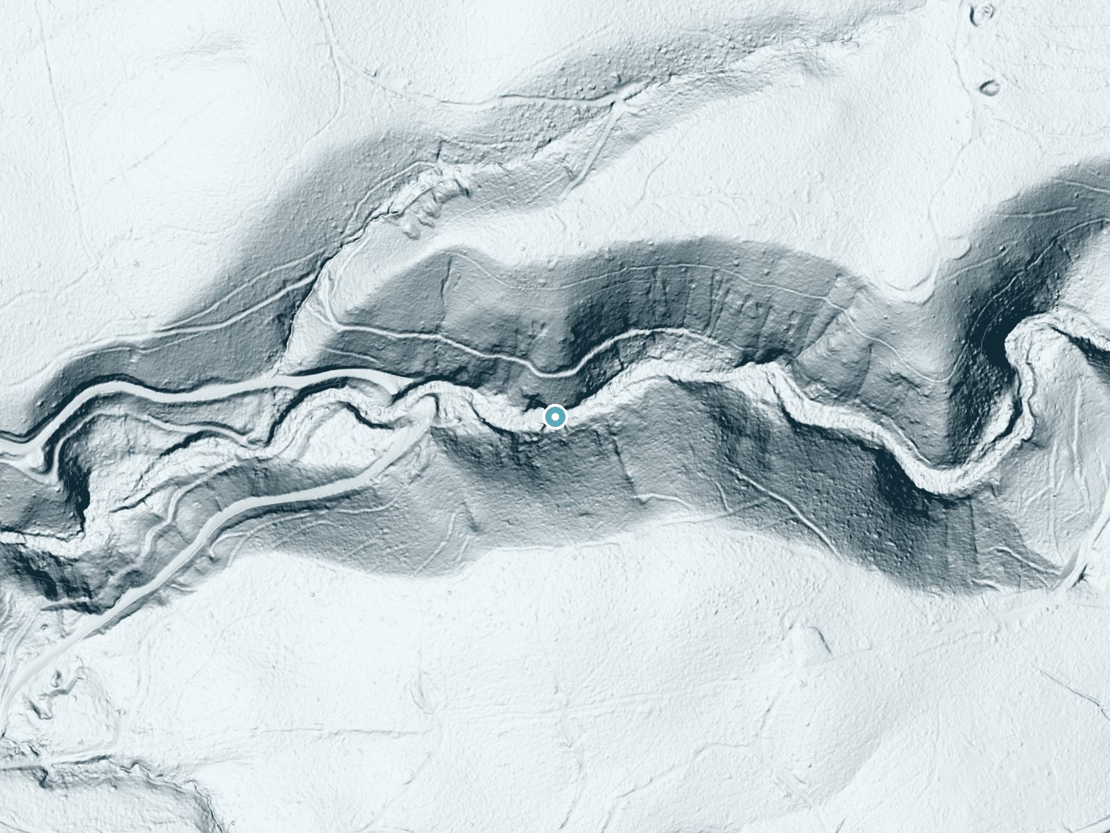
 LiDAR terrain view · USGS 3DEP
Difficulty
Easy
Trail Length
1.0 miles
Trail Type
Out And Back
About Lion Slide Falls
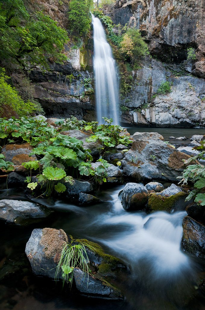
Lion Slide Falls is a picturesque waterfall just outside the small community of Big Bend in Northern California, known for its cascading water and natural swimming pools that draw visitors looking for a refreshing outdoor break. The falls are an appealing destination in all seasons—close enough for a day trip but tucked into a quiet forested setting that feels a world away from the highway. Reaching the viewpoint requires a short hike: the route is a 2.4‑mile out-and-back with roughly 350 feet of elevation gain and is generally rated moderate. While there isn’t a campground immediately adjacent to the falls, the nearest developed camping is in the Shasta Lake area about 23 km away, so most visitors plan Lion Slide Falls as a day outing rather than an overnight stay.
Nearby Falls Worth Visiting
Potem Falls (70 ft) lies 7.4 miles to the west. Also nearby: Hatchet Creek Falls (30 ft, 2.5 mi).
Trail & Hike Details
Trail Description
Trail length: 2.4 miles (out-and-back). Elevation gain: ~350 feet. Difficulty: Moderate. The trail follows a forested route and is mostly a gentle grade, but expect some uneven footing and short steeper pitches that contribute to the moderate rating. Footwear with good traction is recommended; the path leads directly to the waterfall and its natural pools, making for a rewarding short hike suitable for most reasonably fit hikers.
What to Expect
Swimming is permitted. Dogs are welcome.
Accessibility
The trail is not wheelchair accessible. Uneven terrain and elevation changes require steady footing.
Frequently Asked Questions
🐶 Are Dogs Allowed at Lion Slide Falls?
✅ Dogs are allowed
Are There Any Fees or Permits Required?
🆖 No fees required
🏊 Is There Swimming at Lion Slide Falls?
✅ Swimming is allowed
When to Visit
Spring and summer are the best times to visit, as the water flow is typically strong, and the weather is warm enough for swimming.
Seasonal Access
The best time to visit is Spring, Summer, and Fall. Winter access may be limited.
Safety Information
Rocks around the falls can be slippery, and water levels may rise quickly after rain. Always supervise children and avoid climbing on wet rocks. Cell service may be limited in the area, so plan accordingly.
Know when to go.
Get a free email alert when waterfalls near Montgomery Creek hit peak flow. We only send when conditions are worth the trip — no weekly newsletters, no spam.
Weather Forecast
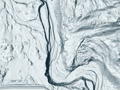
The Terrain, Seen by LiDAR
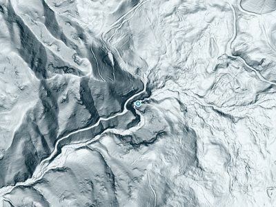
Aircraft-mounted lasers measured this ground to within inches. Trees and buildings are digitally stripped away, leaving the bare shape of the land the water has carved.
Through the falls the surface drops roughly 199 feet over a short, steep run of tiers. Elevation at the pin is about 3,004 feet.
The ground changes about 232 feet in the 500 feet above the falls and 37 feet in the 500 feet below. The falls face west and glow in afternoon and evening light.
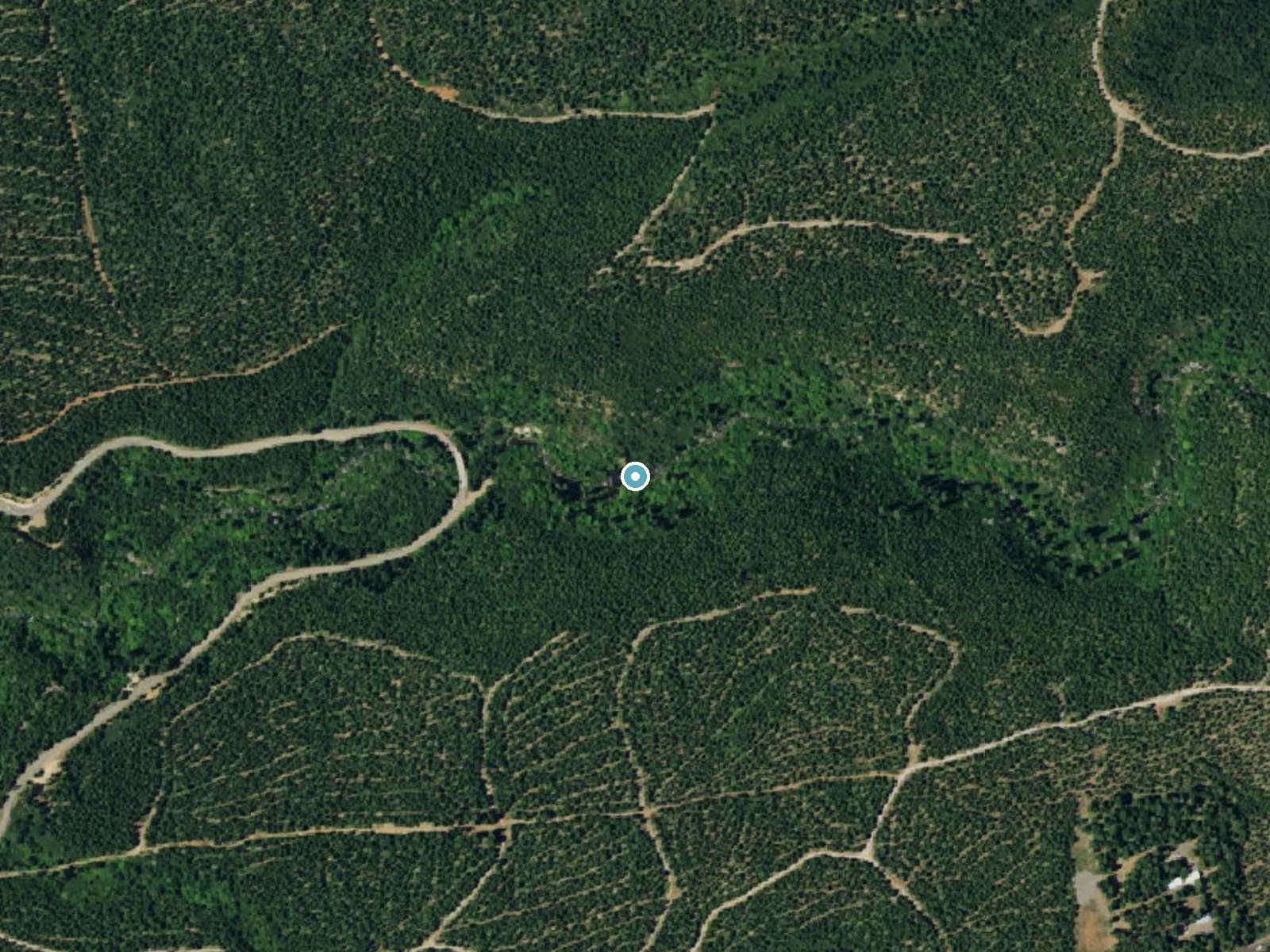
Drag to compare. The dot marks the waterfall. The frame is about a mile across.
- Ground elevation
- 3,004 feet
- Measured by 1-meter lidar
- Drop at the falls
- About 199 feet
- Change in ground height within ~250 feet of the falls
- Faces
- West
- Glows in afternoon and evening light.
A slice through the lidar ground surface, from above the falls to downstream (heading west).
Elevation data: USGS 3D Elevation Program. Aerial imagery: USGS The National Map. Public domain.
Location & Access
Getting There
Lion Slide Falls is located near Big Bend, California. Access typically involves driving on rural roads, and the falls are situated near the Pit River. Visitors should use GPS coordinates or local maps to locate the trailhead, as signage may be limited.
Get Directions on Google MapsParking
Parking is available near the trailhead, but it may be limited. Visitors should plan to arrive early, especially during peak seasons, to secure a spot.
Elevation
2,992 feet above sea level
Coordinates
40.872379° N, -121.893051° W
Visitor Tips & Gear
Arrive early to avoid crowds and secure parking. Bring water shoes if you plan to swim, as the rocks can be slippery. Be cautious of changing water levels, especially after heavy rains.
Where to Stay
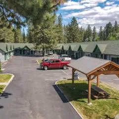
Green Gables Motel & Suites

Millz Manor
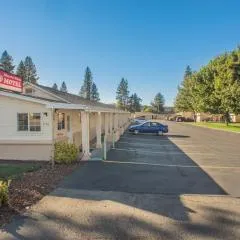
Shasta Pines Motel & Suites
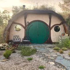
Burrowdale Inn
Browse vacation cabins and private rentals nearby
Unique outdoor stays — tents, yurts, and treehouses
Rent a campervan or RV for your waterfall road trip
Some links are affiliate links. We may earn a commission at no extra cost to you.
Nearby Campground
Shasta Lake Area
14.3 miles away · 0 sites
** Due to fluctuating water levels on Shasta Lake, visitors are encouraged to contact the Shasta Recreation Company (concessionaire to the Forest Service) @ 530-275-8113 or the Shasta-Triinity National Forest, Shasta Lake Ranger Station at (530) 275-1587 for possible temporary campground closures. **The Shasta Unit is one of three units that comprise the Whiskeytown - Shasta-Trinity National Recreation Area. It was established by Congress in 1965. These areas were recognized for their unique and
Book on Recreation.govNearby Hot Springs
Hot springs near Dunsmuir, California
Big Bend, California
Big Bend sits along a dramatic curve of the Pit River in Shasta County at 1,720 feet elevation, occupying territory historicall...
Big Bend Hot Springs
Big Bend Hot Springs surges at a scalding 180 degrees Fahrenheit from volcanic terrain at just 1,644 feet elevation, creating o...
Hunt Hot Spring
Hunt Hot Spring produces 136-degree water from the forested slopes near McCloud in Siskiyou County at just 1,712 feet elevation...
Hot Springs
Hot Springs emerge from the canyon walls of the Pit River in Shasta County at 3,310 feet elevation, their thermal nature docume...

Mill Creek Springs
Mill Creek Springs flows at a spectacular 150°F within Lassen Volcanic National Park, making it one of California's hottest spr...

Sulphur Works, Tophet Hot Springs
Sulphur Works and Tophet Hot Springs emerge at a dramatic 199°F at 6,932 feet elevation within Lassen Volcanic National Park, o...
Looking for a soak after your hike? Explore more hot springs near Dunsmuir, California on SoakingSprings.
Explore California springsAdditional Information
Nearby Attractions
The Pit River and other natural attractions in the Big Bend area.
Wildlife
The area is home to various wildlife, including birds, deer, and small mammals. Be cautious of potential encounters with snakes or other wildlife.
Cities near Lion Slide Falls
Nearby Waterfalls
 LiDAR
LiDAR
 LiDAR
LiDAR
Writing about Lion Slide Falls? Embed this waterfall on your site for free.