Kennedy Falls
By Armen Suny · Last verified Mar 2026
Photo Credits (1)
Difficulty
Moderate
Trail Length
2.4 miles
Trail Type
Out And Back
Elevation Gain
350 ft
About Kennedy Falls
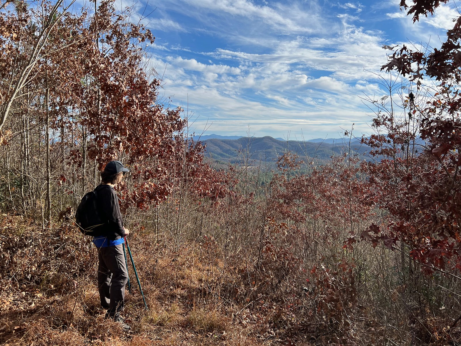
Kennedy Falls is a tucked-away cascade in North Carolina, offering a peaceful forest setting and a chance to escape into nature. The falls are framed by mature woods and make for a rewarding destination whether you’re seeking a short nature outing or a photographic stop along a longer day on the trail. The site’s quiet, wooded character makes it a pleasant spot to linger and enjoy the sound of falling water. Reaching Kennedy Falls involves a moderate hike that complements the site’s tranquil feel. The approach is a 2.4-mile out-and-back with about 350 feet of elevation gain, so plan for a half-day outing at an easy-to-moderate pace. Trails in this area can be natural and, in places, unmarked, so bring a map, sturdy footwear, and water to make the most of your visit.
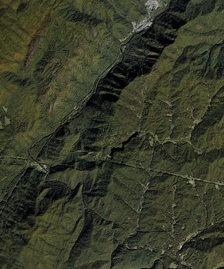
The Setting
Kennedy Falls sits at 2,388 feet along the Nantahala River, in the hills of North Carolina.
Trail & Hike Details
The Approach
The moderate 2.4-mile out-and-back trail gains 350 feet of elevation on the way to the falls.
Trail Description
Trail type: out-and-back. Distance: 2.4 miles (round trip as listed). Elevation gain: approximately 350 feet. Difficulty: moderate. Surface and formal trail class/grade are not documented for this route; hikers should expect natural footpaths that may be unmarked in sections. Navigation basics, steady footing, and preparedness for uneven terrain are recommended.
What to Expect
Visitors can expect a tranquil waterfall surrounded by lush greenery. The area may be less crowded compared to more popular waterfalls, offering a more secluded experience.
Accessibility
The trail is not wheelchair accessible. Uneven terrain and elevation changes require steady footing.
Frequently Asked Questions
🐶 Are Dogs Allowed at Kennedy Falls?
❌ Dogs are not allowed
Are There Any Fees or Permits Required?
🆖 No fees required
🏊 Is There Swimming at Kennedy Falls?
❌ Swimming is not allowed
When to Visit
Spring and fall are typically the best times to visit due to moderate weather and vibrant foliage.
Seasonal Access
The best time to visit is Spring, Summer, and Fall. Winter access may be limited.
Safety Information
Trail conditions may be uneven or unmarked. Visitors should exercise caution, especially after rain, as trails may become slippery. Carry a first aid kit and inform someone of your plans before visiting.
Current Water Conditions
232 ft³/s
Current discharge — how much water is flowing
Much lower than usual for this time of year
Based on 21 years of record
1.88 ft
Water depth at gauge
7-Day Discharge Trend
What does this mean for your visit?
Flow is well below normal for this time of year, so the waterfall may be a trickle.
About This Gauge
This gauge is on a nearby waterway and may not reflect exact conditions at the falls.
7-Day Flow Outlook
Based on the USGS gauge NANTAHALA RIVER NEAR HEWITT, NC (15 km away).
Today
Strong
265 cfs
7/10Tomorrow
Strong
286 cfs
7/10Sat
Strong
293 cfs
7/10Sun
Strong
300 cfs
7/10Mon
Strong
279 cfs
7/10Tue
Strong
283 cfs
7/10Wed
Strong
275 cfs
7/10Best window: Today — strong flow, patchy fog then chance showers and thunderstorms (trip score 7/10).
Best time of year: this gauge typically runs highest from mid January to late January, peaking in December.
How we calculate this
This is a transparent outlook, not a precise forecast. We take the waterfall's current flow strength (how it ranks against its historical normal for today, from the nearest USGS stream gauge), carry that ranking forward along the gauge's seasonal curve, and nudge it for forecast rain. Confidence is highest for the next day or two and falls further out. Always check official conditions and your own judgment before visiting — high flows can be dangerous.
Know when to go.
Get a free email alert when waterfalls near Andrews hit peak flow. We only send when conditions are worth the trip — no weekly newsletters, no spam.
Weather Forecast
Location & Access
Getting There
The exact location of Kennedy Falls is not widely documented. Visitors are advised to consult local hiking guides or park services for directions.
Get Directions on Google MapsParking
Parking availability is unclear. Visitors should prepare for limited parking options and consider carpooling if visiting with a group.
Elevation
2,388 feet above sea level
Coordinates
35.200645° N, -83.764897° W
Visitor Tips & Gear
Bring a map or GPS device as trail markings may be unclear. Wear sturdy footwear and carry water and snacks. Check weather conditions before visiting.
As an Amazon Associate, we earn from qualifying purchases.
With 2.4 miles and 350 ft of elevation gain, sturdy boots and trekking poles will help on this moderate trail. Sun exposure on the trail makes good sun protection a must in summer.

Polarized Sunglasses (Knockaround)
Cuts glare off the water so you actually see the falls — and your photos turn out better too.

Columbia Watertight II Rain Jacket
Packs into its own pocket, seam-sealed, and keeps you dry from spray and surprise rain.

Earth Pak Waterproof Dry Bag
Keeps your phone and gear dry when waterfall mist soaks everything else.

Waterproof Phone Pouch (AiRunTech)
Cheap insurance — take photos right next to the falls without killing your phone.

Timberland Euro Sprint Mid Waterproof
Trusted waterproof boot with premium leather and grippy rubber sole — reliable on rocky, wet trails.

TrailBuddy Trekking Poles
Lightweight aluminum, cork grips, and flip-locks that actually hold — a best-seller for good reason.
Where to Stay

Quality Inn Andrews

Smoky Mountain Cabin Rental Game Room, Fire Pit!

Hygge Hus Hotel

The Lodge Nantahala River
Browse vacation cabins and private rentals nearby
Unique outdoor stays — tents, yurts, and treehouses
Rent a campervan or RV for your waterfall road trip
Some links are affiliate links. We may earn a commission at no extra cost to you.
Nearby Campground
CHEOAH POINT CAMPGROUND
13.1 miles away · 23 sites
Overview Cheoah Point Campground lies on a peninsula of the vast Lake Santeetlah in the hills of western North Carolina. The lake and surrounding landscape provide countless recreational opportunities for outdoor enthusiasts. Recreation Anglers enjoy fishing for trout, walleye, a variety of bass, bream and crappie and more in the 2,800-acre Lake Santeetlah. Boating, canoeing, jet skiing and swimming are also popular activities on the lake. Nearby, the Wauchecha Bald Trail, which begins as a an ea
Book on Recreation.govAdditional Information
Nearby Attractions
Nearby attractions are not well-documented. Visitors may explore other natural areas or trails in the region.
Wildlife
The area may host typical North Carolina wildlife such as birds, deer, and small mammals. Be cautious of snakes and other potentially hazardous animals.
Cities near Kennedy Falls
Nearby Waterfalls
Other waterfalls named Kennedy Falls
2 other waterfalls share this name across the U.S.
Writing about Kennedy Falls? Embed this waterfall on your site for free.