Photo Credits (4)
Difficulty
Moderate
Trail Length
9.0 miles
Trail Type
Out And Back
Elevation Gain
800 ft
About Kennedy Falls
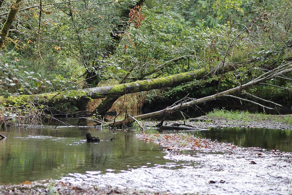
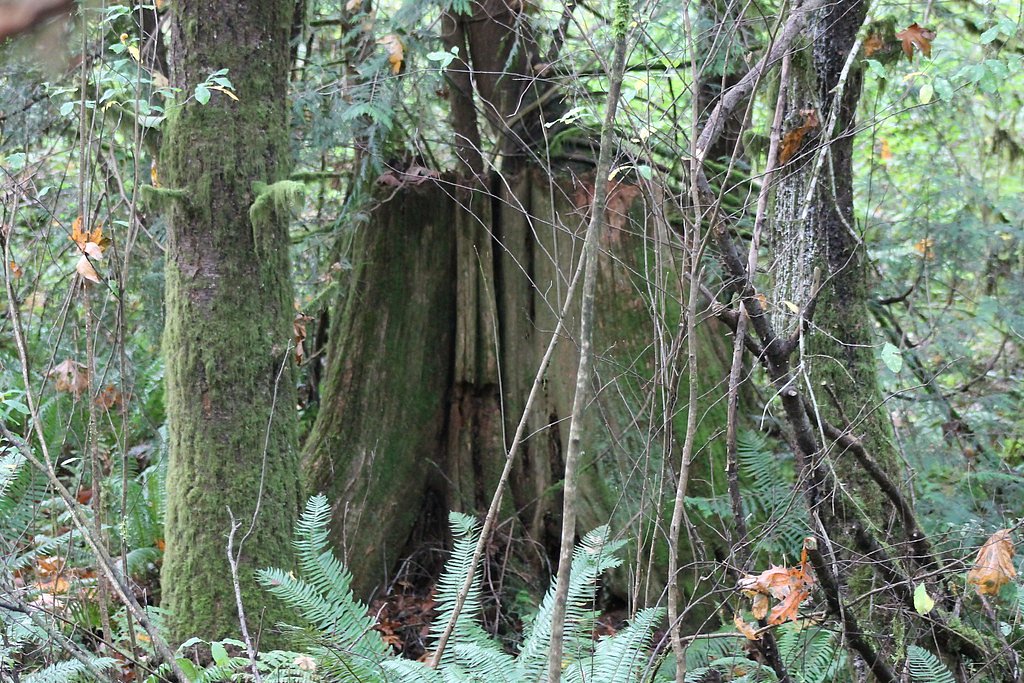
Kennedy Falls tumbles through a quiet, forested canyon nestled within Mount Baker-Snoqualmie National Forest, offering a peaceful payoff for hikers who appreciate a longer woodland outing. The falls sit in a lush old-growth setting where moss-draped trees and the steady rush of water create a classic Pacific Northwest atmosphere—perfect for photographers and anyone looking to escape busier roadside viewpoints. Access to the cascade is typically via a 9.0-mile out-and-back route that gains about 800 feet and is rated moderate. The hike weaves through mature forest and delivers several scenic moments before the final approach to the falls, making it a satisfying day trip for hikers prepared for distance and variable trail conditions.
The Setting
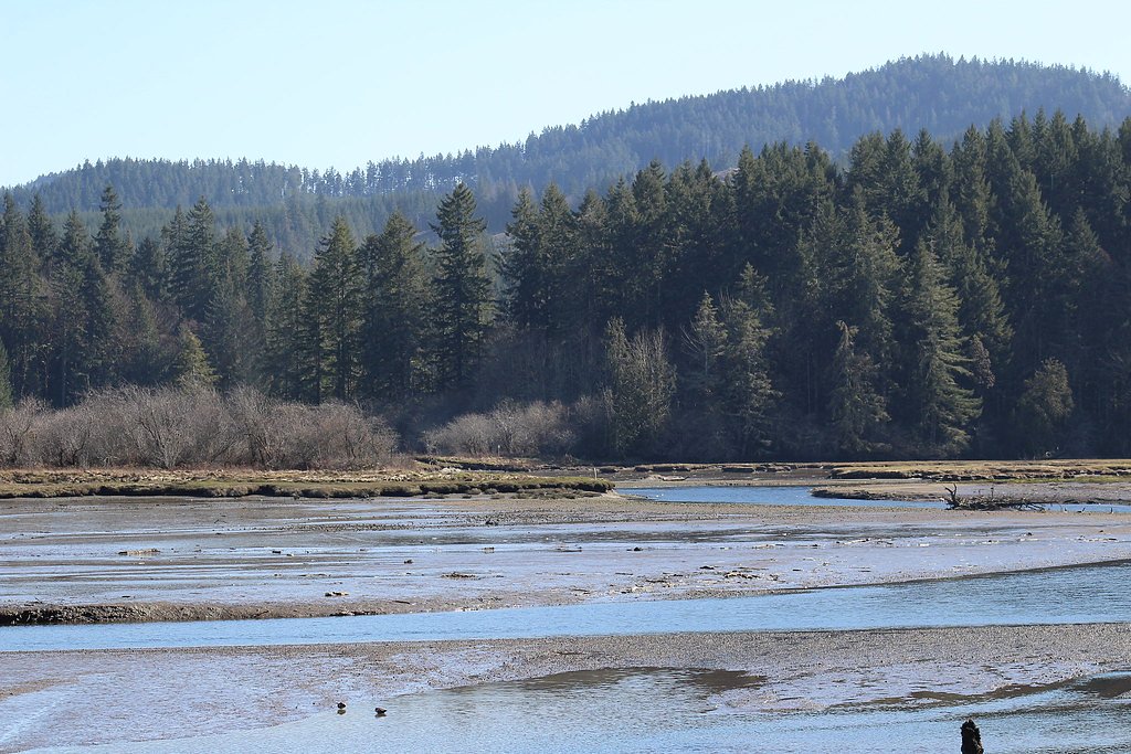
Kennedy Falls sits at 157 feet along the Goldsborough Creek, in the coastal lowlands of Washington.
Trail & Hike Details
The Approach
The moderate 9.0-mile out-and-back trail gains 800 feet of elevation on the way to the falls.
Trail Description
This is a 9.0-mile out-and-back trail with roughly 800 feet of elevation gain and a moderate difficulty rating. The tread follows established forest paths through old-growth stands and includes uneven surfaces with exposed roots and rocks, multiple stream crossings, and muddy sections after rain. Expect generally gradual climbs rather than steep pitches, and prepare with sturdy footwear and the ability to handle slick or wet footing on the approach to Kennedy Falls.
What to Expect
Dogs are welcome.
Accessibility
The trail is not wheelchair accessible. Uneven terrain and elevation changes require steady footing.
Frequently Asked Questions
🐶 Are Dogs Allowed at Kennedy Falls?
✅ Dogs are allowed
Are There Any Fees or Permits Required?
🆖 No fees required
🏊 Is There Swimming at Kennedy Falls?
❌ Swimming is not allowed
When to Visit
Spring and early summer are ideal for visiting Kennedy Falls, as the waterfall is typically at its fullest due to snowmelt.
Seasonal Access
The best time to visit is Spring, Summer, and Fall. Winter access may be limited.
Safety Information
Hikers should be prepared for changing weather conditions and carry the 10 essentials. The trail can be slippery and muddy, so caution is advised. Stream crossings may be challenging during high water levels.
Current Water Conditions
49 ft³/s
Current discharge — how much water is flowing
Lower than usual for this time of year
Based on 21 years of record
18.68 ft
Water depth at gauge
7-Day Discharge Trend
What does this mean for your visit?
Flow is lower than usual for this time of year.
About This Gauge
This gauge is on a nearby waterway and may not reflect exact conditions at the falls.
7-Day Flow Outlook
Based on the USGS gauge GOLDSBOROUGH CREEK ABOVE 7TH STREET AT SHELTON, WA (15 km away).
Today
Moderate
53 cfs
5/10Tomorrow
Moderate
53 cfs
5/10Sun
Moderate
52 cfs
5/10Mon
Moderate
48 cfs
8/10Tue
Moderate
50 cfs
5/10Wed
Moderate
50 cfs
5/10Thu
Moderate
50 cfs
5/10Best window: Mon — moderate flow, partly sunny (trip score 8/10).
Best time of year: this gauge typically runs highest from mid December to late January, peaking in January.
How we calculate this
This is a transparent outlook, not a precise forecast. We take the waterfall's current flow strength (how it ranks against its historical normal for today, from the nearest USGS stream gauge), carry that ranking forward along the gauge's seasonal curve, and nudge it for forecast rain. Confidence is highest for the next day or two and falls further out. Always check official conditions and your own judgment before visiting — high flows can be dangerous.
Know when to go.
Get a free email alert when waterfalls near McCleary hit peak flow. We only send when conditions are worth the trip — no weekly newsletters, no spam.
Weather Forecast
Location & Access
Getting There
Kennedy Falls is accessed via the Kennedy Creek Trail, which is located near the town of Darrington, Washington. The trailhead can be reached by driving along Mountain Loop Highway.
Get Directions on Google MapsParking
Parking is available at the trailhead, but it may be limited during peak seasons. Visitors should arrive early to secure a spot.
Elevation
157 feet above sea level
Coordinates
47.077464° N, -123.126754° W
Visitor Tips & Gear
Start early to avoid crowds and ensure you have enough daylight for the hike. Bring plenty of water and snacks, as there are no facilities along the trail. Check trail conditions before heading out, especially during the rainy season.
As an Amazon Associate, we earn from qualifying purchases.
With 9.0 miles and 800 ft of elevation gain, sturdy boots and trekking poles will help on this moderate trail. Sun exposure on the trail makes good sun protection a must in summer.

Polarized Sunglasses (Knockaround)
Cuts glare off the water so you actually see the falls — and your photos turn out better too.

Columbia Watertight II Rain Jacket
Packs into its own pocket, seam-sealed, and keeps you dry from spray and surprise rain.

Earth Pak Waterproof Dry Bag
Keeps your phone and gear dry when waterfall mist soaks everything else.

Waterproof Phone Pouch (AiRunTech)
Cheap insurance — take photos right next to the falls without killing your phone.

Timberland Euro Sprint Mid Waterproof
Trusted waterproof boot with premium leather and grippy rubber sole — reliable on rocky, wet trails.

TrailBuddy Trekking Poles
Lightweight aluminum, cork grips, and flip-locks that actually hold — a best-seller for good reason.
Where to Stay

Little Creek Casino Resort

La Quinta by Wyndham Tumwater - Olympia

Ramada by Wyndham Olympia

Holiday Inn Express & Suites Tumwater - Olympia by IHG
Browse vacation cabins and private rentals nearby
Unique outdoor stays — tents, yurts, and treehouses
Rent a campervan or RV for your waterfall road trip
Some links are affiliate links. We may earn a commission at no extra cost to you.
Nearby Campground
Brown Creek Campground
24.9 miles away · 0 sites
Brown Creek Campground is located along the shore of the South Fork Skokomish River at the confluence with Brown Creek. Evergreen conifers and hardwoods provide lots of shade at this campground. There are 20 campsites in Brown Creek Campground: twelve will accommodate trailers and RVs and eight of the sites are suitable for tents. There is one ADA accessible campsite. Six sites at Brown Creek Campground along forest Road 2430 are open year-round. There is also an accessible vault toilet also ope
Book on Recreation.govNearby Hot Springs
Hot springs near McCleary, Washington
Looking for a soak after your hike? Explore more hot springs near McCleary, Washington on SoakingSprings.
Explore Washington springsAdditional Information
Nearby Attractions
Nearby attractions include the Mountain Loop Highway, Big Four Ice Caves, and other hiking trails in the Mount Baker-Snoqualmie National Forest.
Wildlife
The area is home to deer, birds, and other forest wildlife. Be cautious of bears and carry bear spray if hiking during active seasons.
Cities near Kennedy Falls
Other waterfalls named Kennedy Falls
2 other waterfalls share this name across the U.S.
Writing about Kennedy Falls? Embed this waterfall on your site for free.