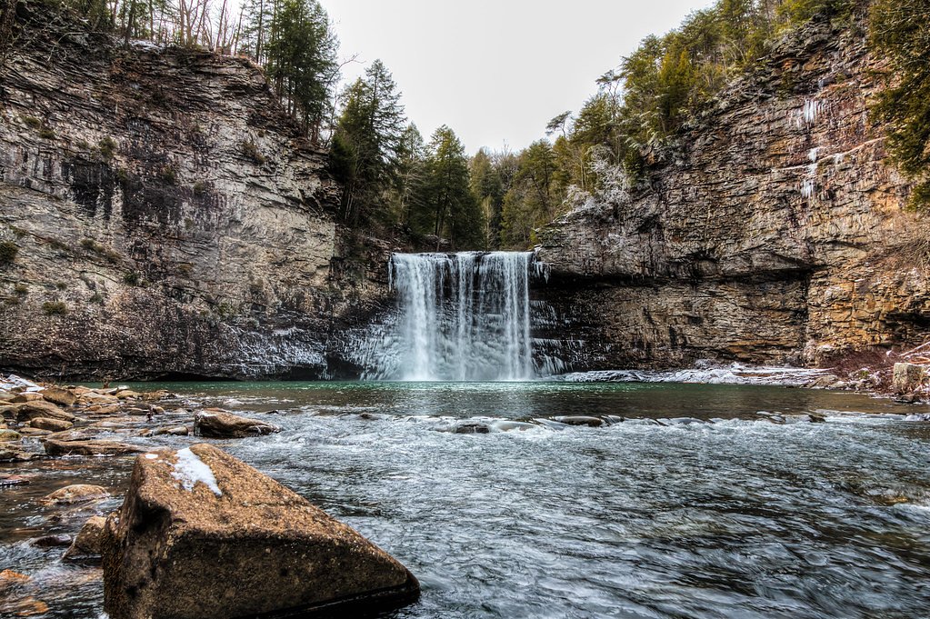
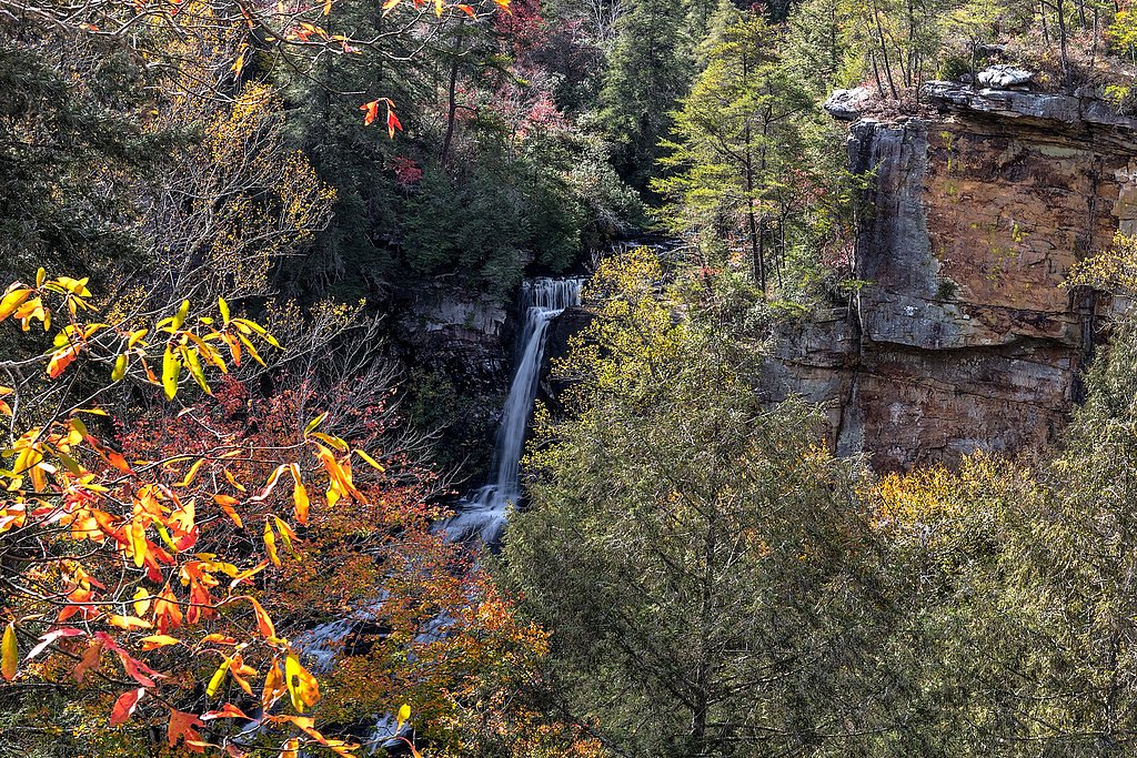
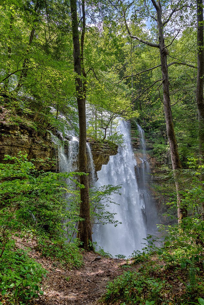
Hemlock Falls
By Armen Suny · Last verified Mar 2026
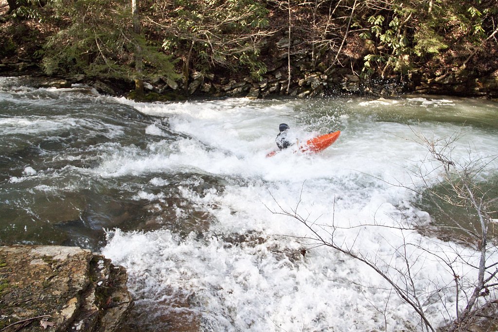
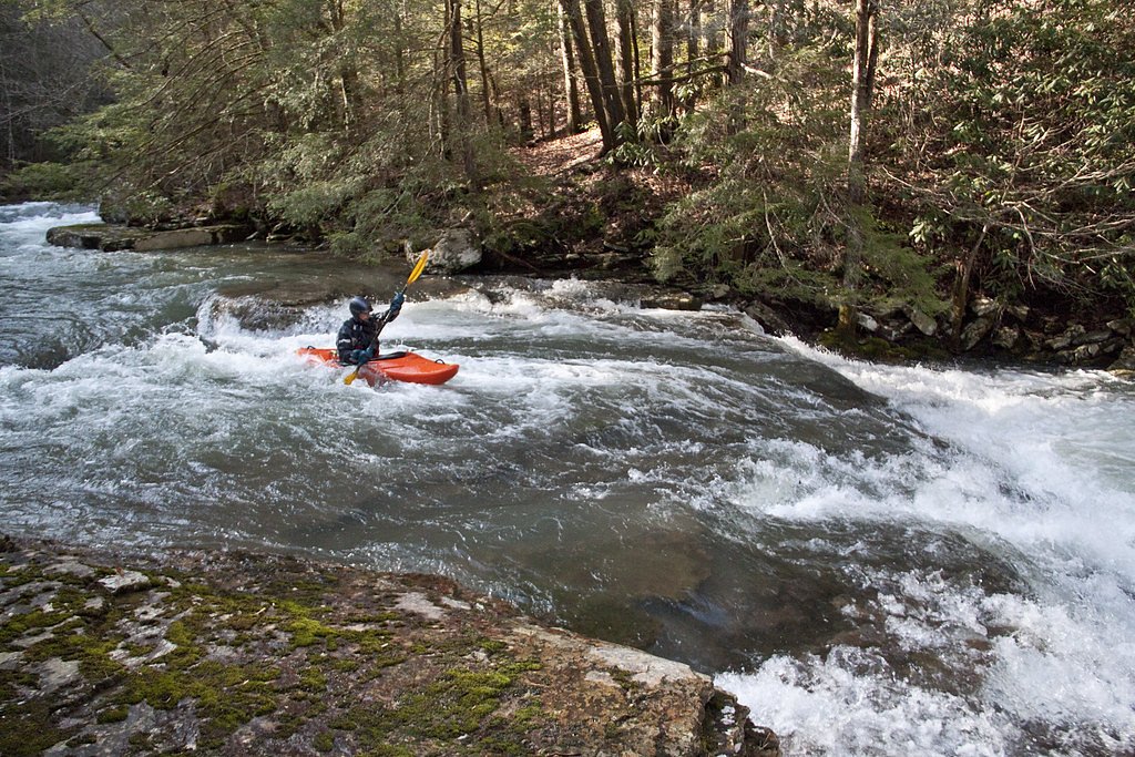
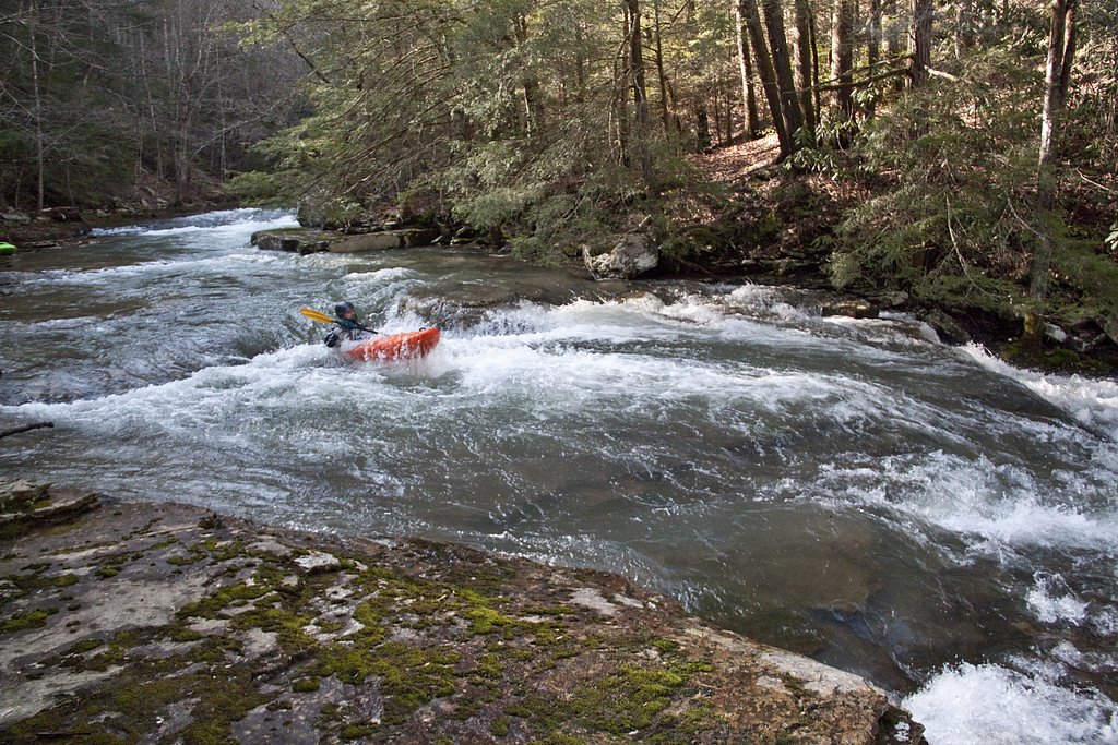
Photo Credits (4)
Difficulty
Easy
Trail Length
2.0 miles
Trail Type
Out And Back
Elevation Gain
200 ft
About Hemlock Falls
Hemlock Falls is a picturesque waterfall located in Tennessee, known for its serene surroundings and lush greenery. It is a popular destination for hikers and nature enthusiasts.
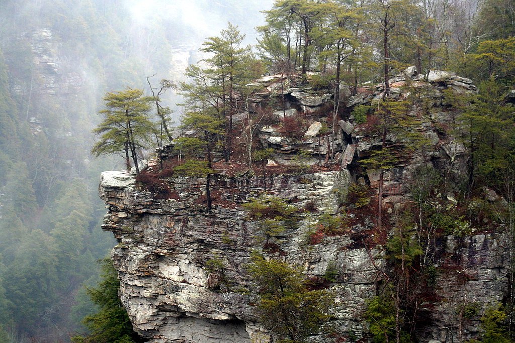
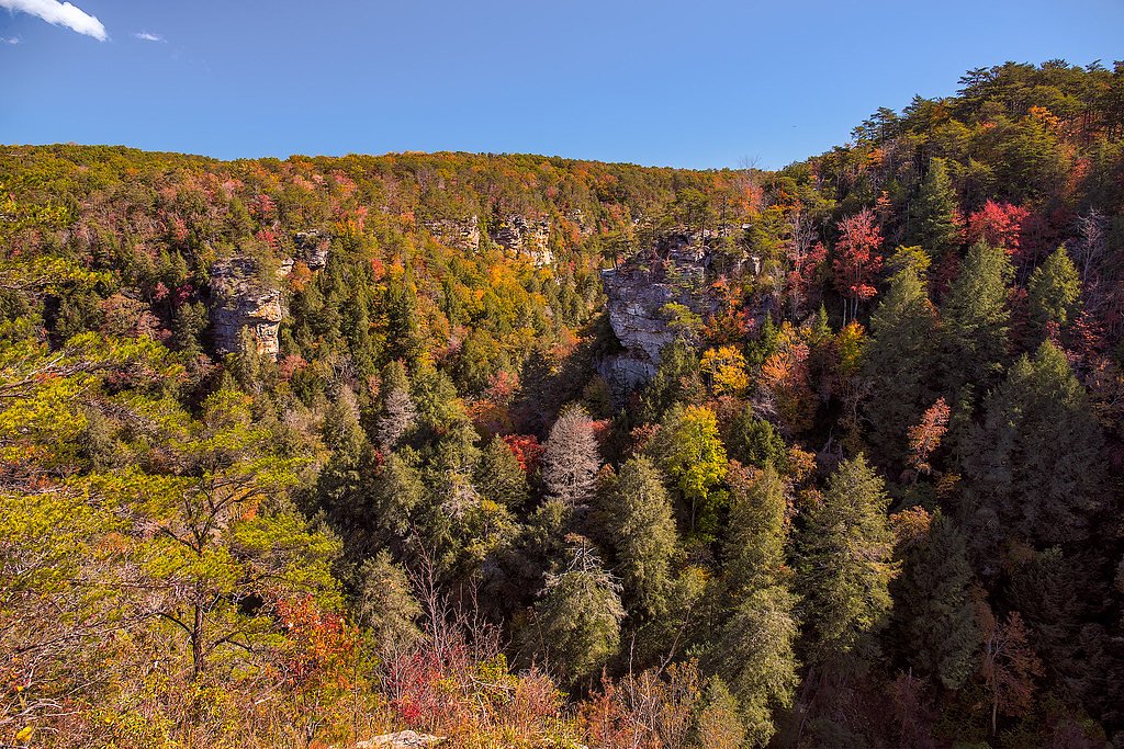
The Setting
Hemlock Falls sits at 1,230 feet along the Calfkiller River, in the foothills of Tennessee.
Nearby Falls Worth Visiting
Fall Creek Falls (256 ft) lies 4.8 miles to the south. Also nearby: Virgin Falls (110 ft, 7.3 mi) and Piney Creek Falls (95 ft, 4.6 mi).
Trail & Hike Details
The Approach
The easy 2.0-mile out-and-back trail gains 200 feet of elevation on the way to the falls.
Trail Description
The trail to Hemlock Falls is a relatively short and easy hike, making it suitable for most visitors. It winds through a forested area with gentle inclines and leads to the waterfall, which is surrounded by a peaceful natural setting.
What to Expect
Dogs are welcome.
Accessibility
The trail is not wheelchair accessible. Uneven terrain and elevation changes require steady footing.
Frequently Asked Questions
🐶 Are Dogs Allowed at Hemlock Falls?
✅ Dogs are allowed
Are There Any Fees or Permits Required?
🆖 No fees required
🏊 Is There Swimming at Hemlock Falls?
❌ Swimming is not allowed
When to Visit
Spring and fall are the best times to visit, as the weather is mild and the foliage is particularly beautiful. Summer is also popular, but the trail may be busier.
Seasonal Access
The best time to visit is Spring, Summer, and Fall. Winter access may be limited.
Safety Information
The trail may be slippery after rain, and visitors should watch their footing near the waterfall. Always stay on marked trails and avoid climbing on wet rocks.
Current Water Conditions
49 ft³/s
Current discharge — how much water is flowing
Much lower than usual for this time of year
Based on 9 years of record
4.22 ft
Water depth at gauge
7-Day Discharge Trend
What does this mean for your visit?
Flow is well below normal for this time of year, so the waterfall may be a trickle.
About This Gauge
This gauge is on a nearby waterway and may not reflect exact conditions at the falls.
7-Day Flow Outlook
Based on the USGS gauge CALFKILLER RIVER AT HWY 70 AT SPARTA, TN (24 km away).
Today
Strong
54 cfs
7/10Tomorrow
Strong
58 cfs
7/10Tue
Strong
56 cfs
7/10Wed
Strong
52 cfs
7/10Thu
Strong
58 cfs
7/10Fri
Strong
58 cfs
7/10Sat
Strong
57 cfs
7/10Best window: Today — strong flow, chance showers and thunderstorms (trip score 7/10).
Best time of year: this gauge typically runs highest from early February to early April, peaking in February.
How we calculate this
This is a transparent outlook, not a precise forecast. We take the waterfall's current flow strength (how it ranks against its historical normal for today, from the nearest USGS stream gauge), carry that ranking forward along the gauge's seasonal curve, and nudge it for forecast rain. Confidence is highest for the next day or two and falls further out. Always check official conditions and your own judgment before visiting — high flows can be dangerous.
Know when to go.
Get a free email alert when waterfalls near Spencer hit peak flow. We only send when conditions are worth the trip — no weekly newsletters, no spam.
Weather Forecast
Location & Access
Getting There
Hemlock Falls is located within the Cherokee National Forest in Tennessee. The trailhead can typically be accessed via local roads, but specific directions may vary depending on the starting point.
Get Directions on Google MapsParking
Parking is available near the trailhead, but spaces may be limited during peak seasons. Visitors are advised to arrive early to secure a spot.
Elevation
1,230 feet above sea level
Coordinates
35.734774° N, -85.352734° W
Visitor Tips & Gear
Wear sturdy shoes as the trail may be muddy or slippery after rain. Bring water and snacks, and consider visiting early in the day to avoid crowds. Check weather conditions before heading out.
As an Amazon Associate, we earn from qualifying purchases.
This easy 2.0 miles hike is straightforward — comfortable trail shoes and plenty of water should do. Sun exposure on the trail makes good sun protection a must in summer.

Polarized Sunglasses (Knockaround)
Cuts glare off the water so you actually see the falls — and your photos turn out better too.

Columbia Watertight II Rain Jacket
Packs into its own pocket, seam-sealed, and keeps you dry from spray and surprise rain.

Earth Pak Waterproof Dry Bag
Keeps your phone and gear dry when waterfall mist soaks everything else.

Waterproof Phone Pouch (AiRunTech)
Cheap insurance — take photos right next to the falls without killing your phone.

JOBY GorillaPod Starter Kit
Wraps around railings and rocks for long-exposure waterfall shots — no flat surface needed.

Osprey Daylite Daypack
Light, organized, and just the right size for a day hike — fits water, snacks, and layers.
Where to Stay

The Way Inn by OYO Spencer

Gas fireplace, firepit, and cedar Adirondack chair

Holiday Inn Express & Suites Crossville by IHG

Comfort Suites Crossville
Browse vacation cabins and private rentals nearby
Unique outdoor stays — tents, yurts, and treehouses
Rent a campervan or RV for your waterfall road trip
Some links are affiliate links. We may earn a commission at no extra cost to you.
Additional Information
Nearby Attractions
Other attractions in the Cherokee National Forest include hiking trails, scenic overlooks, and additional waterfalls such as Benton Falls.
Wildlife
The area is home to a variety of wildlife, including birds, deer, and small mammals. Visitors should be cautious of snakes and other potentially hazardous animals.
Cities near Hemlock Falls
Nearby Waterfalls
Other waterfalls named Hemlock Falls
1 other waterfall shares this name across the U.S.
Writing about Hemlock Falls? Embed this waterfall on your site for free.