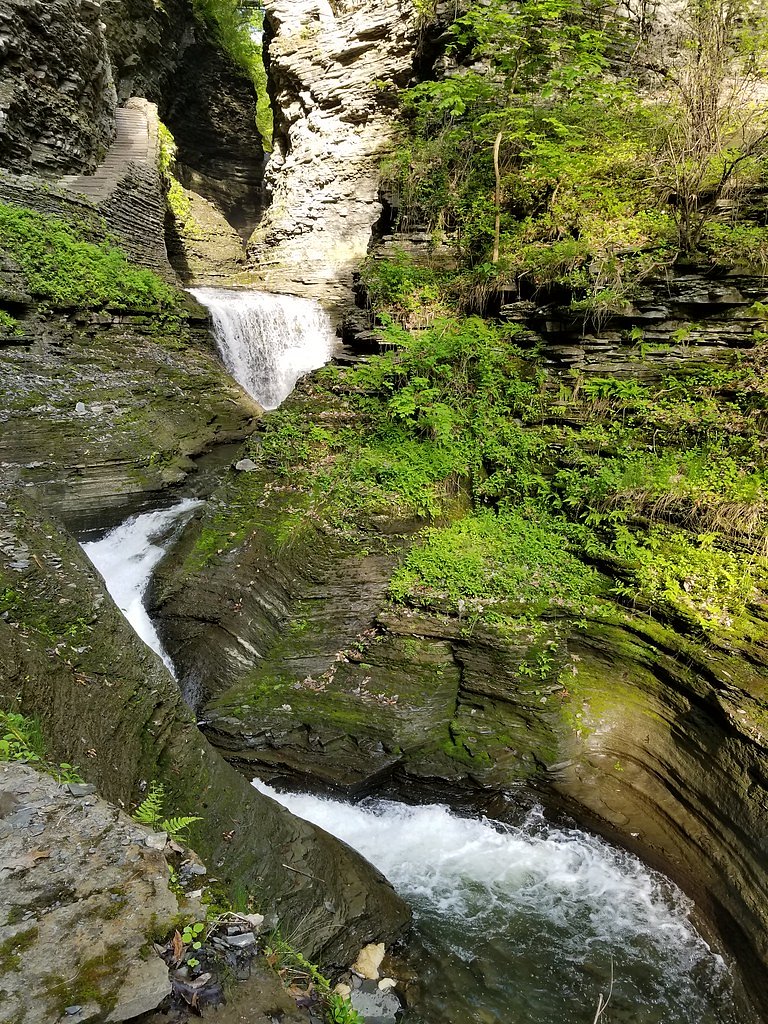
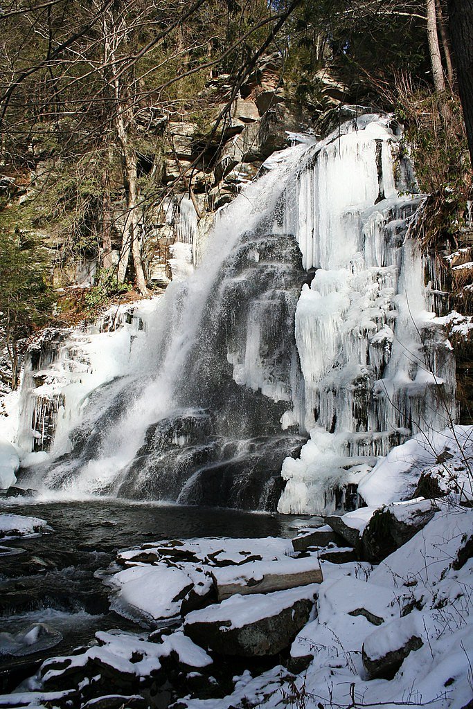
Hanging Rock Falls
By Armen Suny · Last verified Mar 2026
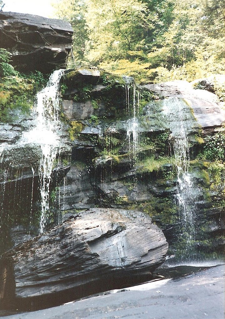
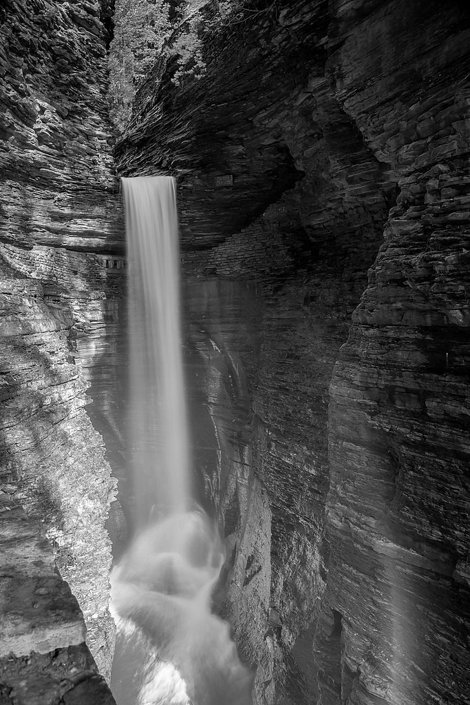
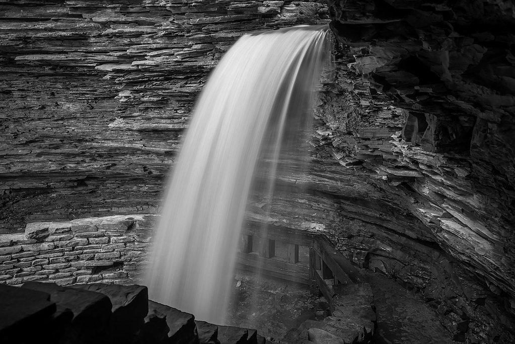
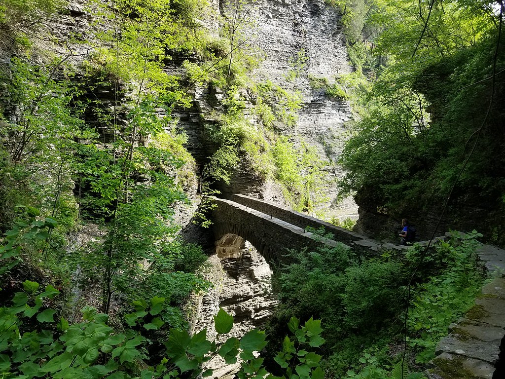

Photo Credits (5)
Difficulty
Moderate
Trail Length
2.4 miles
Trail Type
Out And Back
Elevation Gain
350 ft
About Hanging Rock Falls
Hanging Rock Falls is a small but picturesque waterfall located in the Catskill Mountains of New York. It is surrounded by lush forest and is a popular spot for nature enthusiasts seeking a peaceful retreat.
Nearby Falls Worth Visiting
Verkeerder Kill Falls (187 ft) lies 6.5 miles to the southeast. Also nearby: Stony Kill Falls (87 ft, 6.7 mi).
Trail & Hike Details
The Approach
The moderate 2.4-mile out-and-back trail gains 350 feet of elevation on the way to the falls.
Trail Description
The trail to Hanging Rock Falls is a short and relatively easy hike through a wooded area. The path is well-marked and suitable for most visitors, though it may have some uneven terrain. The waterfall is nestled in a serene setting, making it a great spot for photography or relaxation.
What to Expect
Dogs are welcome.
Accessibility
The trail is not wheelchair accessible. Uneven terrain and elevation changes require steady footing.
Frequently Asked Questions
🐶 Are Dogs Allowed at Hanging Rock Falls?
✅ Dogs are allowed
Are There Any Fees or Permits Required?
🆖 No fees required
🏊 Is There Swimming at Hanging Rock Falls?
❌ Swimming is not allowed
When to Visit
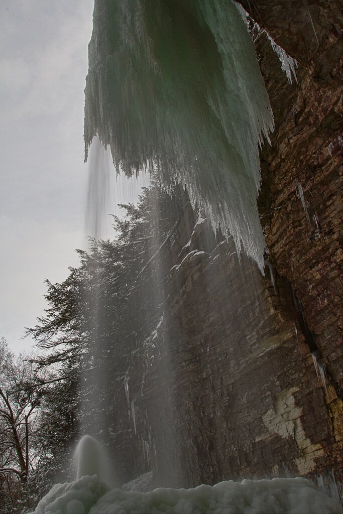
Spring and early summer are ideal for visiting, as the waterfall flow is strongest during these seasons. Fall offers beautiful foliage, while winter may provide a unique view of the falls if they are frozen.
Seasonal Access
The best time to visit is Spring, Summer, and Fall. Winter access may be limited.
Safety Information
Water temperature is currently 49°F — cold enough to cause numbness quickly. Avoid prolonged water contact and use caution near the falls.
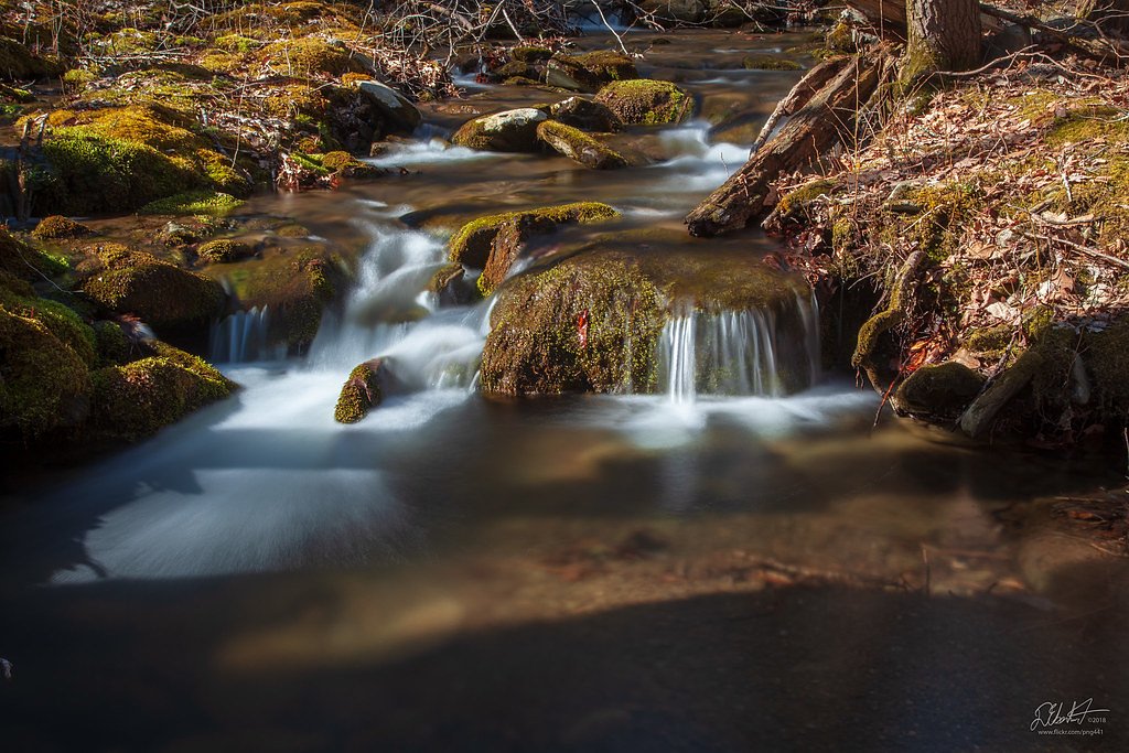
Visitors should exercise caution near the waterfall, as rocks can be slippery. Be aware of changing weather conditions and avoid the area during heavy rain or storms.
Current Water Conditions
318 ft³/s
Current discharge — how much water is flowing
About average for this time of year
Based on 7 years of record
2.77 ft
Water depth at gauge
49°F
Very coldExpect numbness within minutes
7-Day Discharge Trend
What does this mean for your visit?
Flow is about average for this time of year. Water temperature is very cold at 49 degrees F, expect numbness within minutes.
About This Gauge
This gauge is on a nearby waterway and may not reflect exact conditions at the falls.
7-Day Flow Outlook
Based on the USGS gauge CANNONSVILLE RES DIV CHANNEL NR GRAHAMSVILLE NY (14 km away).
Today
Moderate
356 cfs
6/10Tomorrow
Strong
383 cfs
7/10Thu
Moderate
336 cfs
9/10Fri
Moderate
360 cfs
6/10Sat
Strong
383 cfs
7/10Sun
Strong
383 cfs
7/10Mon
Strong
382 cfs
7/10Best window: Thu — moderate flow, sunny (trip score 9/10).
Best time of year: this gauge typically runs highest from late June to mid July, peaking in July.
How we calculate this
This is a transparent outlook, not a precise forecast. We take the waterfall's current flow strength (how it ranks against its historical normal for today, from the nearest USGS stream gauge), carry that ranking forward along the gauge's seasonal curve, and nudge it for forecast rain. Confidence is highest for the next day or two and falls further out. Always check official conditions and your own judgment before visiting — high flows can be dangerous.
Know when to go.
Get a free email alert when waterfalls near Napanoch hit peak flow. We only send when conditions are worth the trip — no weekly newsletters, no spam.
Weather Forecast
Location & Access
Getting There
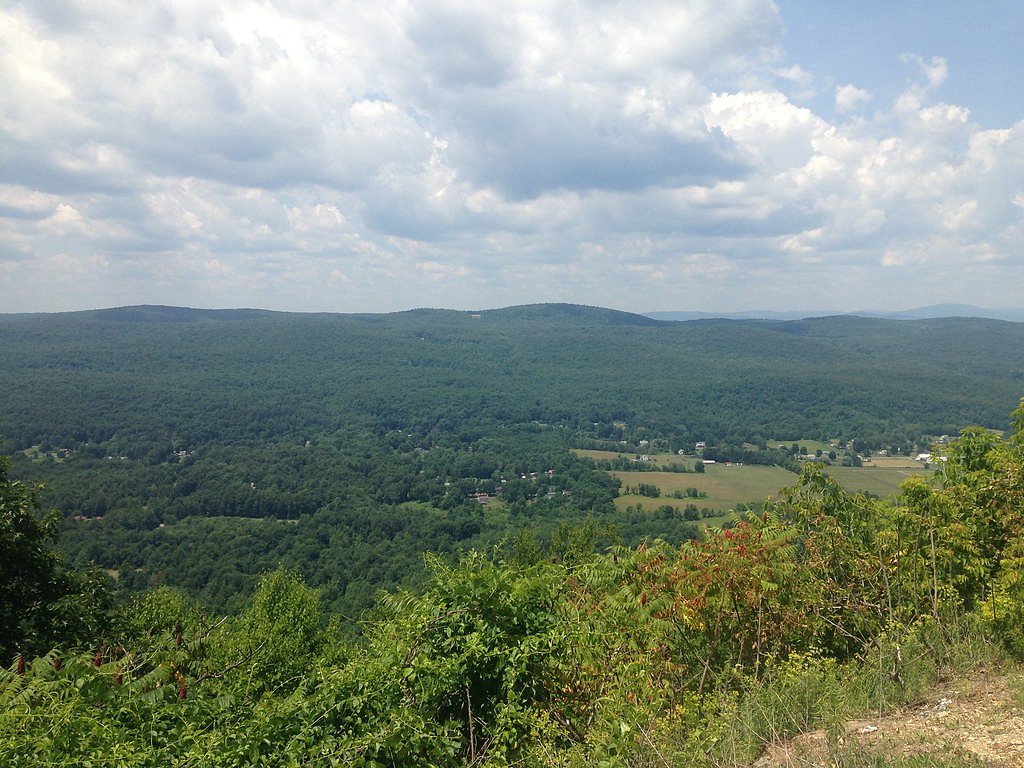
Hanging Rock Falls is located near the town of Hunter, New York, in the Catskill Mountains. It can be accessed via local roads, but specific directions may vary depending on the trailhead used.
Get Directions on Google MapsParking
Parking is typically available at nearby trailheads, but spaces may be limited during peak seasons. Visitors should check local signage for parking regulations.
Elevation
807 feet above sea level
Coordinates
41.741482° N, -74.429878° W
Visitor Tips & Gear
Wear sturdy footwear, as the trail may be muddy or slippery in some sections. Bring insect repellent during the summer months, and consider visiting early in the day to avoid crowds.
As an Amazon Associate, we earn from qualifying purchases.
With 2.4 miles and 350 ft of elevation gain, sturdy boots and trekking poles will help on this moderate trail. Sun exposure on the trail makes good sun protection a must in summer.

Polarized Sunglasses (Knockaround)
Cuts glare off the water so you actually see the falls — and your photos turn out better too.

Columbia Watertight II Rain Jacket
Packs into its own pocket, seam-sealed, and keeps you dry from spray and surprise rain.

Earth Pak Waterproof Dry Bag
Keeps your phone and gear dry when waterfall mist soaks everything else.

Waterproof Phone Pouch (AiRunTech)
Cheap insurance — take photos right next to the falls without killing your phone.

Timberland Euro Sprint Mid Waterproof
Trusted waterproof boot with premium leather and grippy rubber sole — reliable on rocky, wet trails.

TrailBuddy Trekking Poles
Lightweight aluminum, cork grips, and flip-locks that actually hold — a best-seller for good reason.
Where to Stay

Hampton Inn Monticello, Ny

Americas Best Value Inn New Paltz

Moondance Ridge Suites

Mid-Century DJs Dream near Rhinebeck
Browse vacation cabins and private rentals nearby
Unique outdoor stays — tents, yurts, and treehouses
Rent a campervan or RV for your waterfall road trip
Some links are affiliate links. We may earn a commission at no extra cost to you.
Additional Information
Nearby Attractions
Nearby attractions include Kaaterskill Falls, Hunter Mountain, and various hiking trails in the Catskill Mountains.
Wildlife
The area is home to a variety of wildlife, including birds, deer, and small mammals. Visitors should be cautious of ticks and other insects.
Cities near Hanging Rock Falls
Nearby Waterfalls

Writing about Hanging Rock Falls? Embed this waterfall on your site for free.