Gordon Falls
By Armen Suny · Last verified Mar 2026
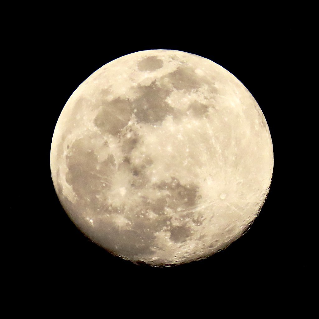
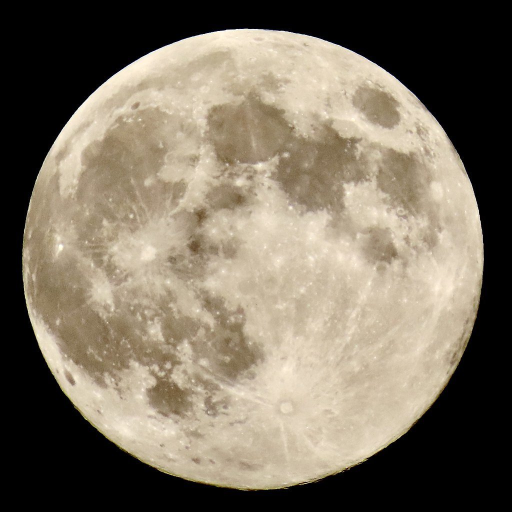
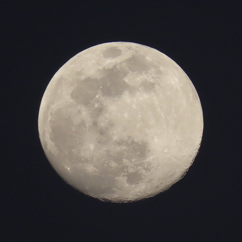
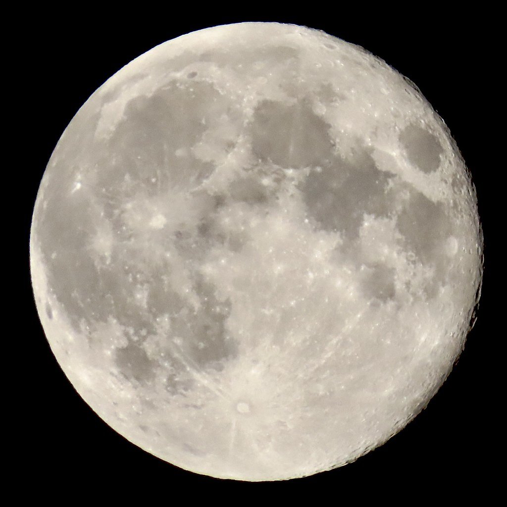
Photo Credits (5)
Difficulty
Moderate
Trail Length
2.4 miles
Trail Type
Out And Back
Elevation Gain
350 ft
About Gordon Falls
Gordon Falls is a picturesque waterfall located in Maine, known for its serene surroundings and natural beauty. It is a popular spot for nature enthusiasts and photographers.
The Setting
Gordon Falls sits at 210 feet along the Mattawamkeag River, in the coastal lowlands of Maine.
Trail & Hike Details
The Approach
The moderate 2.4-mile out-and-back trail gains 350 feet of elevation on the way to the falls.
Trail Description
The trail to Gordon Falls is short and relatively flat, making it suitable for most visitors. It winds through a forested area and leads to a scenic view of the waterfall.
What to Expect
Dogs are welcome.
Accessibility
The trail is not wheelchair accessible. Uneven terrain and elevation changes require steady footing.
Frequently Asked Questions
🐶 Are Dogs Allowed at Gordon Falls?
✅ Dogs are allowed
Are There Any Fees or Permits Required?
🆖 No fees required
🏊 Is There Swimming at Gordon Falls?
❌ Swimming is not allowed
When to Visit
Spring and early summer are ideal times to visit, as the waterfall flow is typically strongest due to snowmelt and rainfall.
Seasonal Access
The best time to visit is Spring, Summer, and Fall. Winter access may be limited.
Safety Information
Exercise caution near the waterfall, as rocks can be slippery. Be aware of ticks in the area and check yourself after hiking.
Current Water Conditions
2,290 ft³/s
Current discharge — how much water is flowing
Higher than usual for this time of year
Based on 91 years of record
7.20 ft
Water depth at gauge
7-Day Discharge Trend
What does this mean for your visit?
The water is flowing higher than usual for this time of year.
About This Gauge
7-Day Flow Outlook
Based on the USGS gauge Mattawamkeag River near Mattawamkeag, Maine (0 km away).
Today
Low
2633 cfs
3/10Tomorrow
Moderate
2704 cfs
4/10Mon
Low
2726 cfs
5/10Tue
Low
2904 cfs
3/10Wed
Low
2803 cfs
4/10Thu
Moderate
2676 cfs
4/10Fri
Low
2490 cfs
4/10Best window: Mon — low flow, patchy fog then sunny (trip score 5/10).
Best time of year: this gauge typically runs highest from late March to late May, peaking in April.
How we calculate this
This is a transparent outlook, not a precise forecast. We take the waterfall's current flow strength (how it ranks against its historical normal for today, from the nearest USGS stream gauge), carry that ranking forward along the gauge's seasonal curve, and nudge it for forecast rain. Confidence is highest for the next day or two and falls further out. Always check official conditions and your own judgment before visiting — high flows can be dangerous.
Know when to go.
Get a free email alert when waterfalls near Mattawamkeag hit peak flow. We only send when conditions are worth the trip — no weekly newsletters, no spam.
Weather Forecast
Location & Access
Getting There
Gordon Falls is located near the town of Byron, Maine. It can be accessed via local roads, and visitors should follow signs or use GPS to navigate to the trailhead.
Get Directions on Google MapsParking
There is a small parking area near the trailhead, but availability may be limited during peak seasons.
Elevation
210 feet above sea level
Coordinates
45.503949° N, -68.301687° W
Visitor Tips & Gear
Arrive early to secure parking, especially during weekends or peak seasons. Wear sturdy shoes as the trail may be muddy or slippery after rain.
As an Amazon Associate, we earn from qualifying purchases.
With 2.4 miles and 350 ft of elevation gain, sturdy boots and trekking poles will help on this moderate trail. Sun exposure on the trail makes good sun protection a must in summer.

Polarized Sunglasses (Knockaround)
Cuts glare off the water so you actually see the falls — and your photos turn out better too.

Columbia Watertight II Rain Jacket
Packs into its own pocket, seam-sealed, and keeps you dry from spray and surprise rain.

Earth Pak Waterproof Dry Bag
Keeps your phone and gear dry when waterfall mist soaks everything else.

Waterproof Phone Pouch (AiRunTech)
Cheap insurance — take photos right next to the falls without killing your phone.

Timberland Euro Sprint Mid Waterproof
Trusted waterproof boot with premium leather and grippy rubber sole — reliable on rocky, wet trails.

TrailBuddy Trekking Poles
Lightweight aluminum, cork grips, and flip-locks that actually hold — a best-seller for good reason.
Where to Stay

Hidden Oasis, Duplex A. Close to almost everything

First Settlers Lodge

The Whitetail Inn and Suites- Lincoln

Briarwood motor inn
Browse vacation cabins and private rentals nearby
Unique outdoor stays — tents, yurts, and treehouses
Rent a campervan or RV for your waterfall road trip
Some links are affiliate links. We may earn a commission at no extra cost to you.
Additional Information
Nearby Attractions
Coos Canyon, a popular gorge and swimming area, is located nearby and worth a visit.
Wildlife
The area is home to various bird species, small mammals, and occasional deer sightings.
Cities near Gordon Falls
Other waterfalls named Gordon Falls
2 other waterfalls share this name across the U.S.
Writing about Gordon Falls? Embed this waterfall on your site for free.