
Difficulty
Easy
Trail Length
0.1 miles
Trail Type
Out And Back
About Glenn Avon Falls
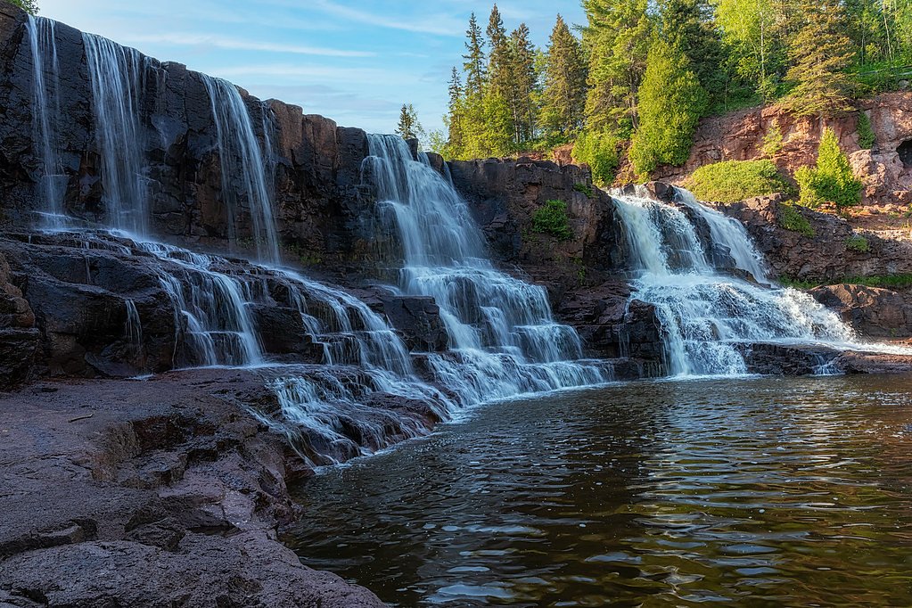
Glen Avon Falls (also spelled Glenn Avon) is a long, steep slide waterfall on the Beaver River a few miles upstream of Beaver Bay on Minnesota's North Shore. The river drops over broad rock shelves for roughly 100 yards. It sits just off Lake County Road 3 (Airport Road), so reaching it is a very short walk rather than a hike.
Trail & Hike Details
Trail Description
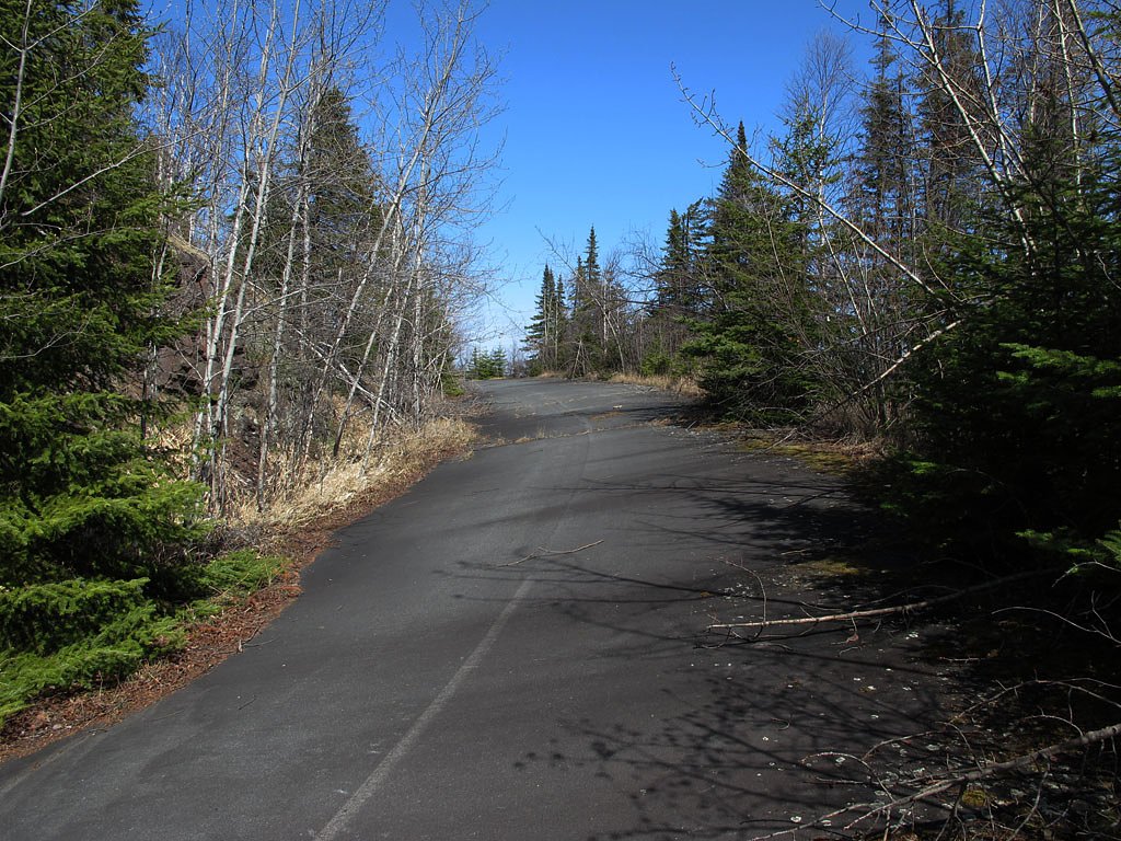
There is no developed trail. A guide from Northern Wilds rates the walk from the dirt access road to the falls as easy and well under 0.1 mile round trip.
What to Expect
Visitors can expect a peaceful and scenic waterfall surrounded by natural beauty. The area may be less crowded compared to more popular waterfalls in Minnesota.
Accessibility
The trail is short and relatively flat, but the surface may be uneven. Contact the managing agency for accessibility details.
Frequently Asked Questions
🐶 Are Dogs Allowed at Glenn Avon Falls?
❌ Dogs are not allowed
Are There Any Fees or Permits Required?
🆖 No fees required
🏊 Is There Swimming at Glenn Avon Falls?
❌ Swimming is not allowed
When to Visit
Spring and early summer are ideal times to visit, as the waterfall is likely to have the most water flow due to snowmelt and rainfall.
Seasonal Access
The best time to visit is Spring, Summer, and Fall. Winter access may be limited.
Safety Information
The trail may be slippery after rain, and the area around the falls could have uneven terrain. Visitors should exercise caution and avoid getting too close to the edge of the falls.
Know when to go.
Get a free email alert when waterfalls near Beaver Bay hit peak flow. We only send when conditions are worth the trip — no weekly newsletters, no spam.
Is Glenn Avon Falls Frozen?
Updated about 7 hours agoNot frozen highs above freezing lately
Glenn Avon Falls is not frozen right now; highs have been above freezing. Yesterday ran 54°F to 33°F.
- Days below freezing
- 0 of the last 14
- Current cold streak
- 0 days
- Freezing days ahead
- 0 of the next 7
- Flow
- no gauge
Winter safety. Frozen falls are the one waterfall trip with a documented injury pattern: falling ice, and ice-glazed rock and trail. Wear microspikes, keep well back from the base and from overhangs, and never walk out on ice over moving water.
Estimate from Open-Meteo daily temperatures at the falls, the LiDAR-measured facing direction, and the nearest stream gauge. It is a likelihood, not a report from the trail. See every frozen waterfall in Minnesota.
Weather Forecast
The Terrain, Seen by LiDAR
Aircraft-mounted lasers measured this ground to within inches. Trees and buildings are digitally stripped away, leaving the bare shape of the land the water has carved.
The bare-earth surface loses about 64 feet through the falls, but gradually, the profile of a cascade rather than a plunge. The ground at the falls is roughly 914 feet above sea level.
The ground changes about 55 feet in the 500 feet above the falls and 28 feet in the 500 feet below. The falls face southeast and catch soft morning light.
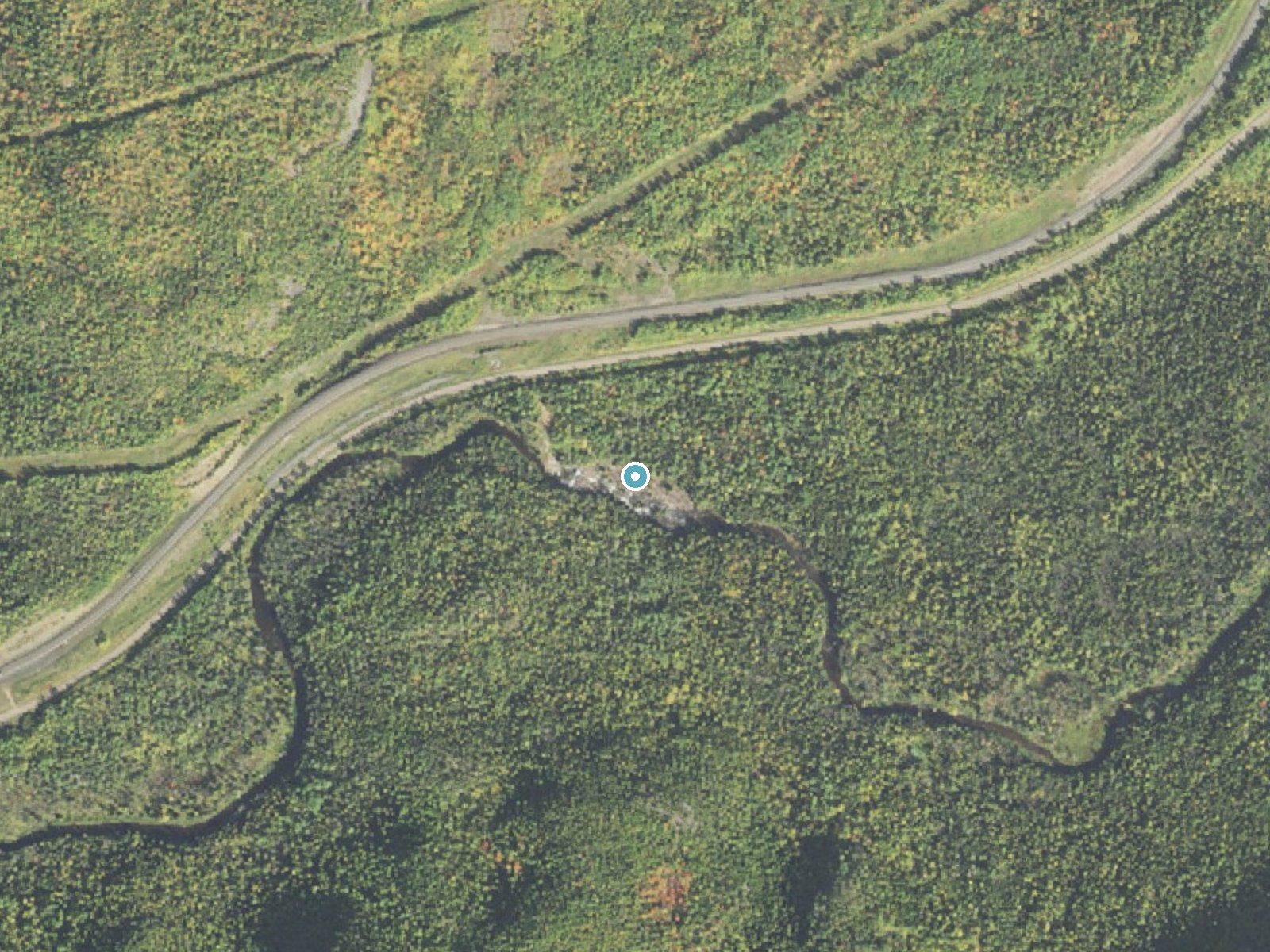
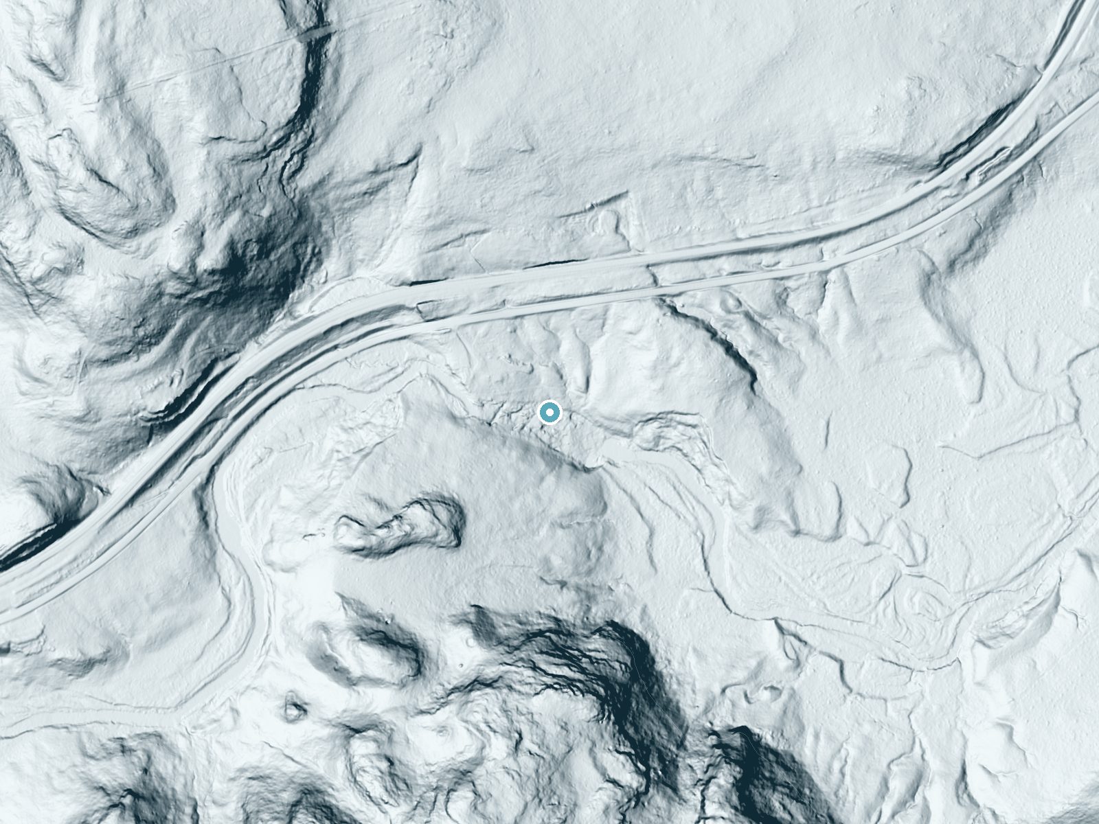
Drag to compare. The dot marks the waterfall. The frame is about a mile across.
- Ground elevation
- 914 feet
- Measured by 1-meter lidar
- Drop at the falls
- About 64 feet
- Change in ground height within ~250 feet of the falls
- Faces
- Southeast
- Catches soft morning light.
A slice through the lidar ground surface, from above the falls to downstream (heading southeast).
Elevation data: USGS 3D Elevation Program. Aerial imagery: USGS The National Map. Public domain.
Location & Access
Getting There
From Highway 61 just west of the Beaver River bridge in Beaver Bay, take Lax Lake Road (County Road 4) north 1.6 miles, turn left on County Road 3 (Airport Road) and go 1.2 miles, then look for a narrow red dirt road on the left that leads toward the river.
Get Directions on Google MapsParking
There is no developed parking lot. Visitors and paddlers park along the short dirt access road near the river.
Elevation
912 feet above sea level
Coordinates
47.265478° N, -91.343222° W
Visitor Tips & Gear
Wear sturdy footwear and bring a map or GPS as the trail may not be well-marked. Check weather conditions before visiting, as the area may become slippery after rain.
Where to Stay

Cove Point Lodge

Gooseberry Trailside Suites by Heirloom Boutique Collection

North Shore A-Frame Sauna, Firepit, 10 min Lutsen

Grand Superior Lodge
Browse vacation cabins and private rentals nearby
Unique outdoor stays — tents, yurts, and treehouses
Rent a campervan or RV for your waterfall road trip
Some links are affiliate links. We may earn a commission at no extra cost to you.
Additional Information
Nearby Attractions
Beaver River Falls, at the Highway 61 bridge in Beaver Bay, and the North Shore state parks along Highway 61, including Split Rock Lighthouse and Tettegouche.
Wildlife
The area may feature local wildlife such as birds, deer, and small mammals. Be cautious of ticks and other insects.
Cities near Glenn Avon Falls
Nearby Waterfalls
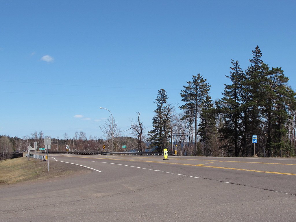
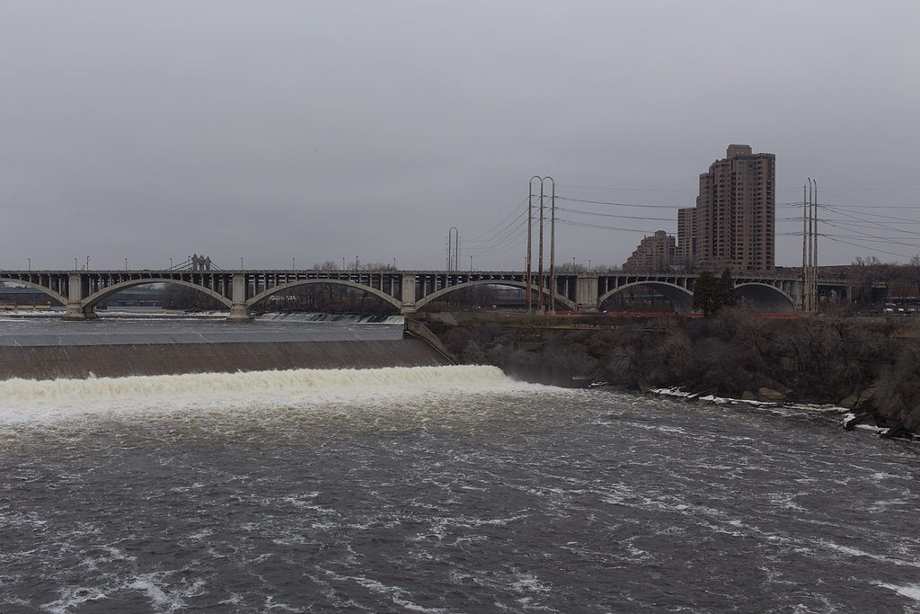
Writing about Glenn Avon Falls? Embed this waterfall on your site for free.