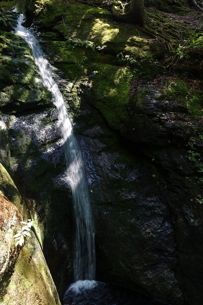
Dryad Falls
New Hampshire • 300 ft
By Armen Suny · Last verified May 2026
Difficulty
Moderate
Trail Length
2.4 miles
Trail Type
Out And Back
Elevation Gain
350 ft
About Dryad Falls
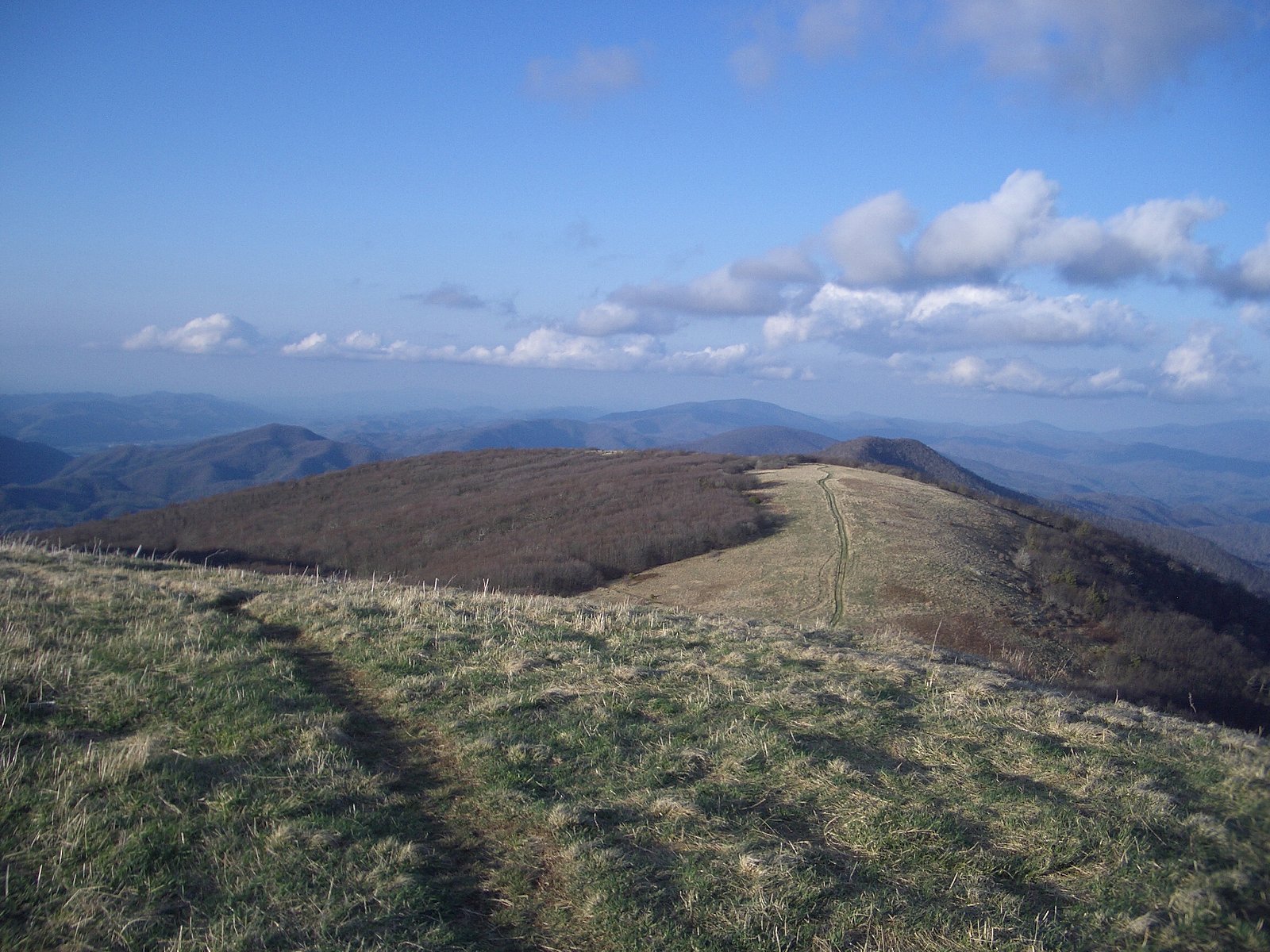
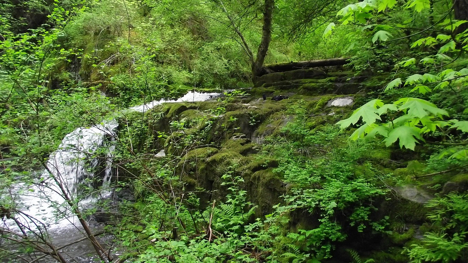
Dryad Falls sits tucked into the White Mountains of New Hampshire, where a series of multi-tiered drops tumble through mossy ledges and quiet northern hardwoods. The cascade plunges roughly 300 feet, creating a photogenic set of veils and plunge pools that feel pleasantly remote despite being a moderate day hike from nearby trailheads. The combination of layered falls and a forested setting makes it a rewarding destination for hikers looking for scenic solitude rather than a short roadside stop. Reaching the falls requires a bit of effort: the route is a 2.4-mile out-and-back with about 350 feet of elevation gain and is typically rated moderate. The path threads through classic White Mountains terrain—roots, rocks, and stretches of steeper grade—and often offers several small viewpoints as you approach the base of the falls. Plan for variable footing after rain and bring footwear suited for rocky, sometimes muddy tread.
The Setting
Dryad Falls sits at 1,644 feet along the Androscoggin River, in the hills of New Hampshire. At 300 feet, it is among the taller waterfalls in New Hampshire.
Height: 300 feet
Trail & Hike Details
The Approach
The moderate 2.4-mile out-and-back trail gains 350 feet of elevation on the way to the falls.
Trail Description
Trail type: out-and-back; distance: 2.4 miles; elevation gain: ~350 ft; difficulty: moderate. The trail follows natural dirt-and-rock tread through forest, with several short steep sections and intermittent rocky or muddy stretches, especially after wet weather. Non-technical hiking—no special gear required beyond good boots and standard day-hiking supplies. Waterfall height: ~300 ft at the endpoint.
What to Expect
The falls plunge 300 feet. Dogs are welcome.
Accessibility
The trail is not wheelchair accessible. Uneven terrain and elevation changes require steady footing.
Frequently Asked Questions
🐶 Are Dogs Allowed at Dryad Falls?
✅ Dogs are allowed
Are There Any Fees or Permits Required?
🆖 No fees required
🏊 Is There Swimming at Dryad Falls?
❌ Swimming is not allowed
When to Visit
Spring and early summer are ideal for visiting Dryad Falls, as the water flow is typically strongest during these seasons. Fall offers beautiful foliage, while winter may provide a unique view of the frozen falls, though the trail can be icy and hazardous.
Seasonal Access
The best time to visit is Spring, Summer, and Fall. Winter access may be limited.
Safety Information
Hikers should be prepared for a strenuous hike and changing weather conditions. The trail can be slippery, especially after rain or during winter. Carry a map or GPS device, as the area is remote and cell service may be limited.
Current Water Conditions
3,750 ft³/s
Current discharge — how much water is flowing
Higher than usual for this time of year
Based on 106 years of record
4.76 ft
Water depth at gauge
7-Day Discharge Trend
What does this mean for your visit?
The water is flowing higher than usual for this time of year.
About This Gauge
This gauge is on a nearby waterway and may not reflect exact conditions at the falls.
7-Day Flow Outlook
Based on the USGS gauge Androscoggin River near Gorham, NH (9 km away).
Today
Barely Flowing
4050 cfs
3/10Tomorrow
Barely Flowing
3959 cfs
5/10Tue
Barely Flowing
4091 cfs
3/10Wed
Low
4425 cfs
3/10Thu
Low
4538 cfs
3/10Fri
Low
4183 cfs
4/10Sat
Low
4074 cfs
4/10Best window: Tomorrow — barely flowing flow, sunny (trip score 5/10).
Best time of year: this gauge typically runs highest from mid March to early June, peaking in May.
How we calculate this
This is a transparent outlook, not a precise forecast. We take the waterfall's current flow strength (how it ranks against its historical normal for today, from the nearest USGS stream gauge), carry that ranking forward along the gauge's seasonal curve, and nudge it for forecast rain. Confidence is highest for the next day or two and falls further out. Always check official conditions and your own judgment before visiting — high flows can be dangerous.
Know when to go.
Get a free email alert when waterfalls near Berlin hit peak flow. We only send when conditions are worth the trip — no weekly newsletters, no spam.
Weather Forecast
Location & Access
Getting There
Dryad Falls is located near the town of Berlin, New Hampshire, within the White Mountain National Forest. The trailhead can be accessed via the North Road, and visitors typically use the Dryad Falls Trail to reach the waterfall.
Get Directions on Google MapsParking
Parking is available at the trailhead along North Road. Spaces may be limited, so arriving early is recommended.
Elevation
1,644 feet above sea level
Coordinates
44.442282° N, -71.077576° W
Visitor Tips & Gear
Wear sturdy hiking boots and bring plenty of water. Bug spray is recommended during warmer months. Check weather conditions before your visit, as the trail can be slippery after rain. Cell service may be limited in the area.
As an Amazon Associate, we earn from qualifying purchases.
With 2.4 miles and 350 ft of elevation gain, sturdy boots and trekking poles will help on this moderate trail. Sun exposure on the trail makes good sun protection a must in summer.

Columbia Watertight II Rain Jacket
Packs into its own pocket, seam-sealed, and keeps you dry from spray and surprise rain.

Earth Pak Waterproof Dry Bag
Keeps your phone and gear dry when waterfall mist soaks everything else.

Waterproof Phone Pouch (AiRunTech)
Cheap insurance — take photos right next to the falls without killing your phone.

Timberland Euro Sprint Mid Waterproof
Trusted waterproof boot with premium leather and grippy rubber sole — reliable on rocky, wet trails.

TrailBuddy Trekking Poles
Lightweight aluminum, cork grips, and flip-locks that actually hold — a best-seller for good reason.

Polarized Sunglasses (Knockaround)
Cuts glare off the water so you actually see the falls — and your photos turn out better too.
Where to Stay

Top Notch Inn

Town & Country Inn & Resort

White Mountains Getaway with amazing views!

The Glen House
Browse vacation cabins and private rentals nearby
Unique outdoor stays — tents, yurts, and treehouses
Rent a campervan or RV for your waterfall road trip
Some links are affiliate links. We may earn a commission at no extra cost to you.
Nearby Campground
HASTINGS CAMPGROUND
7.8 miles away · 25 sites
Overview Hastings Campground is located on Route 113 near the shore of Evans Brook in western Maine. It is situated in a rustic and remote part of White Mountain National Forest, not far from the towns of Gilead Me and Gorham, New Hampshire. Activities include fishing, hiking and mountain biking. The White Mountains boast pristine forests, clear mountain streams and rivers and the tallest peaks in the Northeast. The forest encompasses nearly 800,000 acres in New Hampshire and western Maine, and i
Book on Recreation.govAdditional Information
Nearby Attractions
Nearby attractions include the White Mountain National Forest, Mount Washington, and the town of Gorham, which offers dining and lodging options.
Wildlife
The area is home to a variety of wildlife, including birds, deer, and occasionally moose. Be cautious and respectful of the natural habitat.
Cities near Dryad Falls
Nearby Waterfalls
Writing about Dryad Falls? Embed this waterfall on your site for free.