Photo Credits (5)
Difficulty
Moderate
Trail Length
2.0 miles
Trail Type
Out And Back
Elevation Gain
300 ft
About East Fork Falls
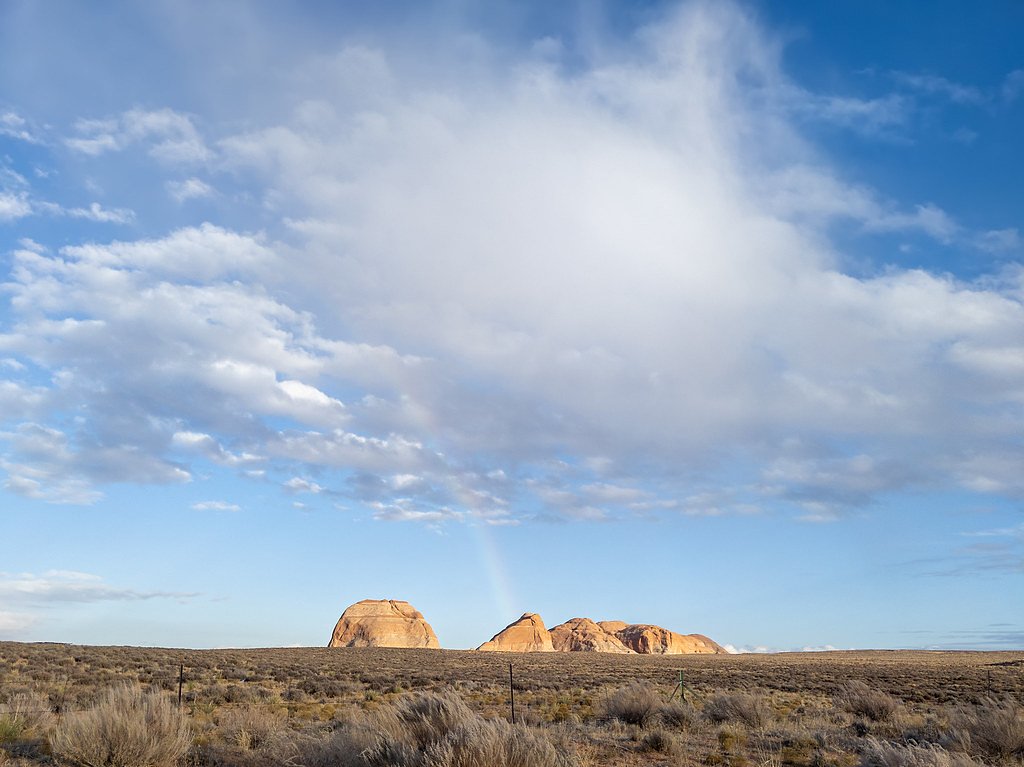
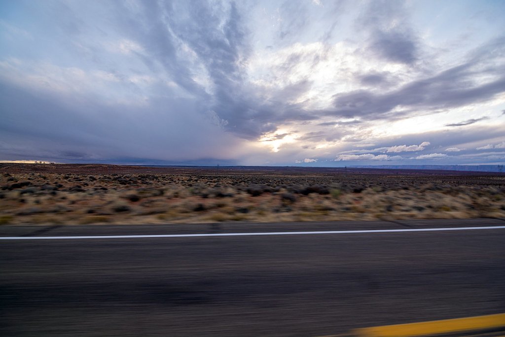
East Fork Falls is a scenic, tucked-away cascade set amid quiet forest on public BLM lands. The falls are a peaceful stop for hikers who prefer a less-crowded outing, offering a serene atmosphere and classic Colorado riparian scenery. The site and access route lie within lands managed by the Bureau of Land Management’s Colorado River Valley Field Office (designation: PUB), so expect a natural, undeveloped setting rather than formal park infrastructure. Reaching the falls is a pleasant short hike that rewards visitors with seasonal flow and shaded woodlands—an inviting choice for anyone looking to escape the busier front-country spots. Because the area is managed by the BLM, visitors should practice Leave No Trace and be prepared for basic, minimally maintained trails.
The Setting
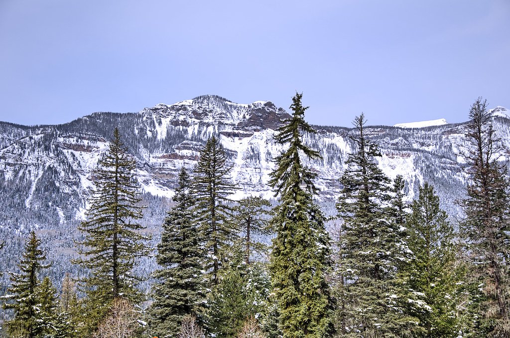
East Fork Falls sits at 7,579 feet within Colorado River Valley Field Office, fed by the Parachute Creek, in the high mountains of Colorado.
Trail & Hike Details
The Approach
The moderate 2.0-mile out-and-back trail gains 300 feet of elevation on the way to the falls.
Trail Description
This is a roughly 2.0-mile out-and-back route with about 300 feet of elevation gain; the Bureau of Land Management lists the route as moderate. The trail winds through forested terrain with occasional views of the East Fork and includes rocky sections and moderate inclines, so expect natural tread and some uneven footing. Suitable for hikers with some experience, the path is relatively short but can be rooted or loose in places—sturdy shoes and basic navigation awareness are recommended.
What to Expect
Dogs are welcome.
Accessibility
The trail is not wheelchair accessible. Uneven terrain and elevation changes require steady footing.
Frequently Asked Questions
🐶 Are Dogs Allowed at East Fork Falls?
✅ Dogs are allowed
Are There Any Fees or Permits Required?
🆖 No fees required
🏊 Is There Swimming at East Fork Falls?
❌ Swimming is not allowed
When to Visit
The best time to visit East Fork Falls is during late spring through early fall when the trail is free of snow and the waterfall flow is at its peak.
Seasonal Access
The best time to visit is Spring, Summer, and Fall. Access roads and trails may close during winter due to snow.
Safety Information
Visitors should be cautious of slippery rocks near the waterfall and be prepared for changing weather conditions. Carry a first aid kit and let someone know your plans before heading out.
Current Water Conditions
1 ft³/s
Current discharge — how much water is flowing
Lower than usual for this time of year
Based on 26 years of record
4.06 ft
Water depth at gauge
7-Day Discharge Trend
What does this mean for your visit?
Flow is lower than usual for this time of year.
About This Gauge
This gauge is on a nearby waterway and may not reflect exact conditions at the falls.
7-Day Flow Outlook
Based on the USGS gauge PARACHUTE CREEK AT PARACHUTE, CO. (13 km away).
Today
Moderate
1 cfs
6/10Tomorrow
Moderate
1 cfs
8/10Sun
Moderate
1 cfs
8/10Mon
Moderate
1 cfs
8/10Tue
Moderate
1 cfs
8/10Wed
Moderate
1 cfs
8/10Thu
Moderate
1 cfs
8/10Best window: Tomorrow — moderate flow, sunny (trip score 8/10).
Best time of year: this gauge typically runs highest from late March to late June, peaking in May.
How we calculate this
This is a transparent outlook, not a precise forecast. We take the waterfall's current flow strength (how it ranks against its historical normal for today, from the nearest USGS stream gauge), carry that ranking forward along the gauge's seasonal curve, and nudge it for forecast rain. Confidence is highest for the next day or two and falls further out. Always check official conditions and your own judgment before visiting — high flows can be dangerous.
Know when to go.
Get a free email alert when waterfalls near Battlement Mesa hit peak flow. We only send when conditions are worth the trip — no weekly newsletters, no spam.
Weather Forecast
Location & Access
Getting There
East Fork Falls is located in the San Juan National Forest, Colorado. Access typically involves driving to a trailhead near the East Fork of the San Juan River. Specific directions may vary depending on the starting point, so consulting a map or GPS is recommended.
Get Directions on Google MapsParking
Parking is available at the trailhead, but spaces may be limited during peak seasons. Visitors should plan to arrive early to secure a spot.
Elevation
7,579 feet above sea level
Coordinates
39.562581° N, -108.013787° W
Land Management
Managed by BLM
Visitor Tips & Gear
Wear sturdy hiking shoes as the trail may be uneven or rocky in places. Bring plenty of water and snacks, especially during warmer months. Check weather conditions before visiting, as rain or snow can make the trail slippery.
This trail sits at 7,579 ft above sea level
Elevated TrailUV radiation is roughly 30% stronger at this elevation than at sea level, and the dry air accelerates dehydration. Extra sun protection and fluids go a long way.
As an Amazon Associate, we earn from qualifying purchases.

Coppertone Sport SPF 50 Sunscreen
UV intensity jumps ~4% per 1,000 ft — at this elevation you can burn in half the time.

Sun Bum SPF 30 Lip Balm (3-Pack)
Lips have almost no natural UV protection and burn fast in thin, dry mountain air.

Liquid I.V. Electrolyte Packets
You lose moisture ~2x faster at elevation — electrolytes help you absorb water efficiently.

ROCKNIGHT Polarized UV400 Sunglasses
High-altitude glare off rock and water is intense — UV400 lenses block 99%+ of UVA/UVB.
As an Amazon Associate, we earn from qualifying purchases.
With 2.0 miles and 300 ft of elevation gain, sturdy boots and trekking poles will help on this moderate trail. Sun exposure on the trail makes good sun protection a must in summer.

Polarized Sunglasses (Knockaround)
Cuts glare off the water so you actually see the falls — and your photos turn out better too.

Columbia Watertight II Rain Jacket
Packs into its own pocket, seam-sealed, and keeps you dry from spray and surprise rain.

Earth Pak Waterproof Dry Bag
Keeps your phone and gear dry when waterfall mist soaks everything else.

Waterproof Phone Pouch (AiRunTech)
Cheap insurance — take photos right next to the falls without killing your phone.

Timberland Euro Sprint Mid Waterproof
Trusted waterproof boot with premium leather and grippy rubber sole — reliable on rocky, wet trails.

TrailBuddy Trekking Poles
Lightweight aluminum, cork grips, and flip-locks that actually hold — a best-seller for good reason.
Where to Stay

Grand Vista Hotel Parachute

La Quinta by Wyndham Rifle

Western Slope Suites Parachute

Hampton Inn & Suites Rifle
Browse vacation cabins and private rentals nearby
Unique outdoor stays — tents, yurts, and treehouses
Rent a campervan or RV for your waterfall road trip
Some links are affiliate links. We may earn a commission at no extra cost to you.
Nearby Hot Springs
Hot springs near Battlement Mesa, Colorado
South Canyon Hot Springs
South Canyon Hot Springs delivers 118 degrees Fahrenheit at just 7.3 meters from Canyon Creek Road, making this one of Colorado...
Iron Mountain Hot Springs
Iron Mountain Hot Springs occupies the banks of the Colorado River in Glenwood Springs at 5,740 feet elevation, where a develop...
Yampah Hot Springs Vapor Caves
Yampah Hot Springs Vapor Caves occupy a unique niche in Colorado geothermal culture as the source of natural steam caves in the...

Glenwood Springs
Glenwood Springs reaches 124 degrees Fahrenheit and channels through the Sacred Waters facility in downtown Glenwood, standing ...
Dotsero Warm Springs
Dotsero Warm Springs flows at 90 degrees Fahrenheit along Eagle River corridor public lands, carrying extraordinary dissolved s...
Avalanche Ranch Hot Springs
Avalanche Ranch Hot Springs flows at 48 degrees Fahrenheit near Carbondale, making it the coolest thermal feature in this datas...
Looking for a soak after your hike? Explore more hot springs near Battlement Mesa, Colorado on SoakingSprings.
Explore Colorado springsAdditional Information
Nearby Attractions
The San Juan National Forest offers numerous hiking trails, scenic drives, and opportunities for wildlife viewing. Nearby attractions include Wolf Creek Pass and Treasure Falls.
Wildlife
The area is home to a variety of wildlife, including deer, elk, and birds. Visitors should be cautious of bears and other large animals.
Cities near East Fork Falls
Nearby Waterfalls
Other waterfalls named East Fork Falls
1 other waterfall shares this name across the U.S.
Writing about East Fork Falls? Embed this waterfall on your site for free.