Photo Credits (5)
Difficulty
Moderate
Trail Length
4.5 miles
Trail Type
Out And Back
Elevation Gain
500 ft
About West Fork Falls
West Fork Falls is a scenic waterfall located in Colorado, known for its serene surroundings and lush vegetation. It is part of the West Fork of the San Juan River and offers visitors a peaceful retreat in nature.
The Setting
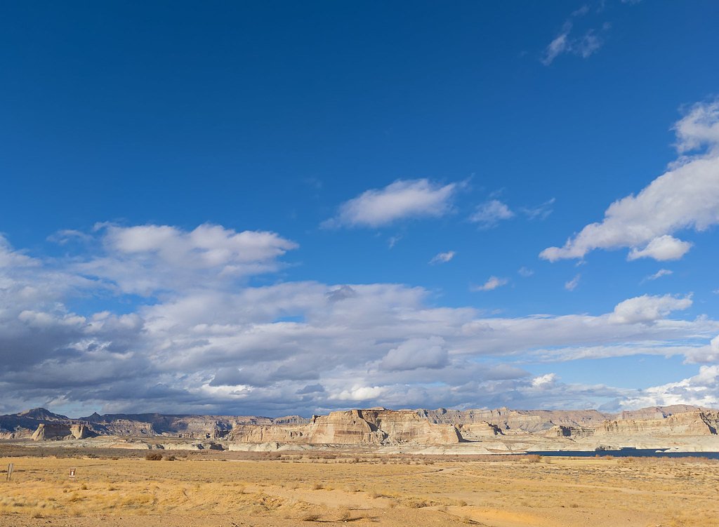
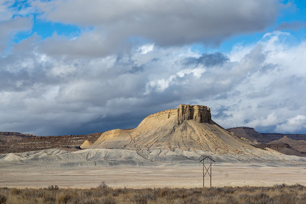
West Fork Falls sits at 7,100 feet along the Parachute Creek, in the high mountains of Colorado.
Trail & Hike Details
The Approach
The moderate 4.5-mile out-and-back trail gains 500 feet of elevation on the way to the falls.
Trail Description
The trail to West Fork Falls follows the West Fork of the San Juan River, offering picturesque views of the river, forested areas, and the surrounding mountains. The trail is well-maintained but includes some rocky and uneven sections. It is suitable for hikers with moderate experience.
What to Expect
Dogs are welcome.
Accessibility
The trail is not wheelchair accessible. Uneven terrain and elevation changes require steady footing.
Frequently Asked Questions
🐶 Are Dogs Allowed at West Fork Falls?
✅ Dogs are allowed
Are There Any Fees or Permits Required?
🤑 Fee: $5.00
🏊 Is There Swimming at West Fork Falls?
❌ Swimming is not allowed
When to Visit
The best time to visit is during late spring through early fall when the trail is most accessible, and the waterfall flow is at its peak due to snowmelt.
Seasonal Access
The best time to visit is Spring, Summer, and Fall. Access roads and trails may close during winter due to snow.
Safety Information
Be prepared for changing weather conditions, as storms can develop quickly in the mountains. Carry a map or GPS device, as cell service may be limited. Watch for slippery rocks near the waterfall.
Current Water Conditions
1 ft³/s
Current discharge — how much water is flowing
Lower than usual for this time of year
Based on 26 years of record
4.06 ft
Water depth at gauge
7-Day Discharge Trend
What does this mean for your visit?
Flow is lower than usual for this time of year.
About This Gauge
This gauge is on a nearby waterway and may not reflect exact conditions at the falls.
7-Day Flow Outlook
Based on the USGS gauge PARACHUTE CREEK AT PARACHUTE, CO. (21 km away).
Today
Moderate
1 cfs
6/10Tomorrow
Moderate
1 cfs
8/10Sun
Moderate
1 cfs
8/10Mon
Moderate
1 cfs
8/10Tue
Moderate
1 cfs
8/10Wed
Moderate
1 cfs
8/10Thu
Moderate
1 cfs
8/10Best window: Tomorrow — moderate flow, sunny (trip score 8/10).
Best time of year: this gauge typically runs highest from late March to late June, peaking in May.
How we calculate this
This is a transparent outlook, not a precise forecast. We take the waterfall's current flow strength (how it ranks against its historical normal for today, from the nearest USGS stream gauge), carry that ranking forward along the gauge's seasonal curve, and nudge it for forecast rain. Confidence is highest for the next day or two and falls further out. Always check official conditions and your own judgment before visiting — high flows can be dangerous.
Know when to go.
Get a free email alert when waterfalls near Parachute hit peak flow. We only send when conditions are worth the trip — no weekly newsletters, no spam.
Weather Forecast
Location & Access
Getting There
West Fork Falls is located near Pagosa Springs, Colorado. Access is typically via the West Fork Trail, which starts from the West Fork Campground. The trailhead is accessible by car, but conditions may vary depending on the season.
Get Directions on Google MapsParking
Parking is available at the West Fork Campground, which serves as the trailhead for the hike to the falls. Parking may be limited during peak seasons.
Elevation
7,100 feet above sea level
Coordinates
39.629519° N, -108.161933° W
Visitor Tips & Gear
Start your hike early to avoid crowds and ensure you have enough daylight for the return trip. Wear sturdy hiking shoes, as the trail can be rocky in places. Bring plenty of water and snacks.
This trail sits at 7,100 ft above sea level
Elevated TrailUV radiation is roughly 28% stronger at this elevation than at sea level, and the dry air accelerates dehydration. Extra sun protection and fluids go a long way.
As an Amazon Associate, we earn from qualifying purchases.

Coppertone Sport SPF 50 Sunscreen
UV intensity jumps ~4% per 1,000 ft — at this elevation you can burn in half the time.

Sun Bum SPF 30 Lip Balm (3-Pack)
Lips have almost no natural UV protection and burn fast in thin, dry mountain air.

Liquid I.V. Electrolyte Packets
You lose moisture ~2x faster at elevation — electrolytes help you absorb water efficiently.

ROCKNIGHT Polarized UV400 Sunglasses
High-altitude glare off rock and water is intense — UV400 lenses block 99%+ of UVA/UVB.
As an Amazon Associate, we earn from qualifying purchases.
With 4.5 miles and 500 ft of elevation gain, sturdy boots and trekking poles will help on this moderate trail. Sun exposure on the trail makes good sun protection a must in summer.

Polarized Sunglasses (Knockaround)
Cuts glare off the water so you actually see the falls — and your photos turn out better too.

Columbia Watertight II Rain Jacket
Packs into its own pocket, seam-sealed, and keeps you dry from spray and surprise rain.

Earth Pak Waterproof Dry Bag
Keeps your phone and gear dry when waterfall mist soaks everything else.

Waterproof Phone Pouch (AiRunTech)
Cheap insurance — take photos right next to the falls without killing your phone.

Timberland Euro Sprint Mid Waterproof
Trusted waterproof boot with premium leather and grippy rubber sole — reliable on rocky, wet trails.

TrailBuddy Trekking Poles
Lightweight aluminum, cork grips, and flip-locks that actually hold — a best-seller for good reason.
Where to Stay

Grand Vista Hotel Parachute

Western Slope Suites Parachute

La Quinta by Wyndham Rifle

Comfort Inn & Suites Rifle
Browse vacation cabins and private rentals nearby
Unique outdoor stays — tents, yurts, and treehouses
Rent a campervan or RV for your waterfall road trip
Some links are affiliate links. We may earn a commission at no extra cost to you.
Nearby Hot Springs
Hot springs near Parachute, Colorado
South Canyon Hot Springs
South Canyon Hot Springs delivers 118 degrees Fahrenheit at just 7.3 meters from Canyon Creek Road, making this one of Colorado...
Iron Mountain Hot Springs
Iron Mountain Hot Springs occupies the banks of the Colorado River in Glenwood Springs at 5,740 feet elevation, where a develop...
Yampah Hot Springs Vapor Caves
Yampah Hot Springs Vapor Caves occupy a unique niche in Colorado geothermal culture as the source of natural steam caves in the...

Glenwood Springs
Glenwood Springs reaches 124 degrees Fahrenheit and channels through the Sacred Waters facility in downtown Glenwood, standing ...
Avalanche Ranch Hot Springs
Avalanche Ranch Hot Springs flows at 48 degrees Fahrenheit near Carbondale, making it the coolest thermal feature in this datas...
Penny Hot Springs
Penny Hot Springs flows at 133°F from county-owned open space near Carbondale in Garfield County, providing public access to th...
Looking for a soak after your hike? Explore more hot springs near Parachute, Colorado on SoakingSprings.
Explore Colorado springsAdditional Information
Nearby Attractions
Nearby attractions include Pagosa Springs, known for its hot springs, and the San Juan National Forest, which offers additional hiking and outdoor activities.
Wildlife
The area is home to a variety of wildlife, including deer, elk, and various bird species. Be cautious of bears and other larger animals.
Cities near West Fork Falls
Nearby Waterfalls

Writing about West Fork Falls? Embed this waterfall on your site for free.