Photo Credits (5)
Difficulty
Moderate
Trail Length
2.4 miles
Trail Type
Out And Back
Elevation Gain
350 ft
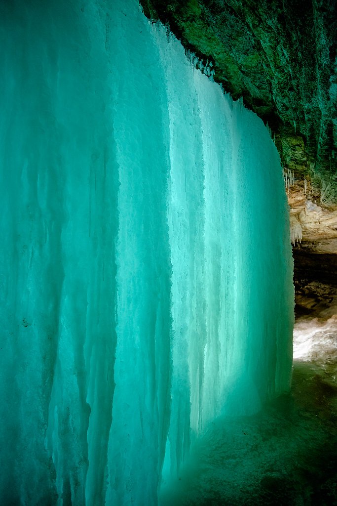
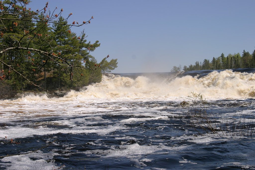
About Curtain Falls
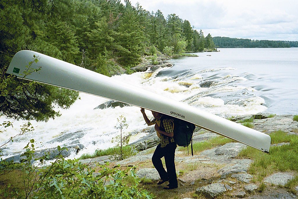
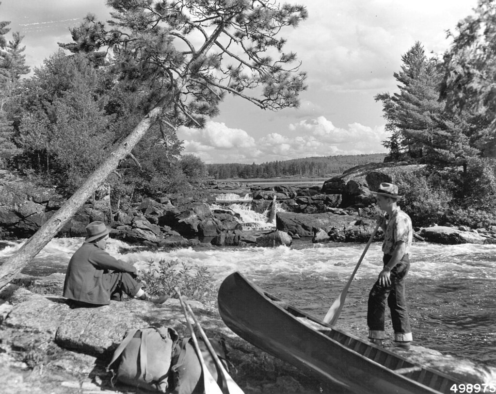
Curtain Falls sits tucked into the Boundary Waters Canoe Area Wilderness, along the rugged Minnesota–Canada border, and is managed as part of the Superior National Forest by the U.S. Forest Service. The falls spill over a rocky ledge in a curtain-like sheet that draws paddlers and wilderness seekers who prize quiet scenery and a backcountry feel. Because the site is reached primarily by water, visits feel remote and unplugged — a genuine northern Minnesota wilderness experience. Access combines lake travel and short on-foot approaches. The U.S. Forest Service maintains the IRON‑CROOKED Trail (Trail #6048) in the area; that official connector is a short, native-surface, Class 3 segment that helps link portages to the falls. Expect to combine paddling and portaging through interconnected lakes to reach Curtain Falls — the payoff is a serene, picturesque cascade well worth the effort.
The Setting
Curtain Falls sits at 1,260 feet within Superior National Forest, in the foothills of Minnesota.
Nearby Falls Worth Visiting
Twin Falls (165 ft) lies 9.4 miles to the north. Also nearby: Rebecca Falls (19 ft, 1.4 mi).
Trail & Hike Details
The Approach
The moderate hike follows Iron Crooked (#6048), a 2.4-mile out-and-back trail over natural surface. Expect 350 feet of elevation gain with grades of 8-10%. The trail is developed (Class 3).
USFS Trail
IRON-CROOKED #6048
Trail Class
Developed
Surface
Avg Grade
USFS Segment
0.38 miTrail Description
Trail: IRON‑CROOKED (USFS Trail #6048). Surface: native material. USFS class: 3. Typical grade: 8–10%. GIS-recorded trail segment: 0.38 miles. Route notes: The commonly used approach to Curtain Falls is an out-and-back of about 2.4 miles total with roughly 350 feet of elevation gain and a moderate difficulty rating. While the official USFS trail segment is a short 0.38-mile native-surface connector (Class 3, 8–10% grade), the full approach usually involves paddling across interconnected lakes and completing portages before and after the trail section to reach the falls. Plan for uneven native surfaces and short steep pitches on the trail connector, and be prepared for water navigation and portaging in the Boundary Waters.
What to Expect
Dogs are welcome.
Accessibility
The trail is not wheelchair accessible. Uneven terrain and elevation changes require steady footing.
Frequently Asked Questions
🐶 Are Dogs Allowed at Curtain Falls?
✅ Dogs are allowed
Are There Any Fees or Permits Required?
🤑 Fee: $0.00
Permit required
A BWCAW permit is required for all visitors. Permits can be reserved in advance through Recreation.gov.
🏊 Is There Swimming at Curtain Falls?
❌ Swimming is not allowed
When to Visit
The best time to visit Curtain Falls is during late spring, summer, or early fall when the lakes are ice-free and the weather is more favorable for paddling.
Seasonal Access
The best time to visit is Spring, Summer, and Fall. Winter access may be limited. Check with Superior National Forest for seasonal road closures.
Safety Information
Visitors should be prepared for wilderness conditions, including unpredictable weather, potential wildlife encounters, and the physical demands of paddling and portaging. Always carry a first aid kit and emergency supplies.
Know when to go.
Get a free email alert when waterfalls near Ely hit peak flow. We only send when conditions are worth the trip — no weekly newsletters, no spam.
Weather Forecast
Location & Access
Getting There
Curtain Falls is accessible only by canoe or kayak as it is located within the Boundary Waters Canoe Area Wilderness. Visitors typically start their journey from entry points such as Moose Lake or Crane Lake and paddle through a series of lakes and portages to reach the falls.
Get Directions on Google MapsParking
Parking is available at designated BWCAW entry points, such as the Moose Lake or Crane Lake entry points. Visitors must plan their route and parking in advance.
Elevation
1,260 feet above sea level
Coordinates
48.236564° N, -91.906242° W
Land Management
Managed by USFS
Visitor Tips & Gear
Plan your trip well in advance, as permits are required for entry into the BWCAW. Bring a detailed map, compass, or GPS device for navigation. Be prepared for portaging and paddling long distances. Pack out all trash and follow Leave No Trace principles.
As an Amazon Associate, we earn from qualifying purchases.
With 2.4 miles and 350 ft of elevation gain, sturdy boots and trekking poles will help on this moderate trail. Sun exposure on the trail makes good sun protection a must in summer.

Polarized Sunglasses (Knockaround)
Cuts glare off the water so you actually see the falls — and your photos turn out better too.

Columbia Watertight II Rain Jacket
Packs into its own pocket, seam-sealed, and keeps you dry from spray and surprise rain.

Earth Pak Waterproof Dry Bag
Keeps your phone and gear dry when waterfall mist soaks everything else.

Waterproof Phone Pouch (AiRunTech)
Cheap insurance — take photos right next to the falls without killing your phone.

Timberland Euro Sprint Mid Waterproof
Trusted waterproof boot with premium leather and grippy rubber sole — reliable on rocky, wet trails.

TrailBuddy Trekking Poles
Lightweight aluminum, cork grips, and flip-locks that actually hold — a best-seller for good reason.
Where to Stay
Browse vacation cabins and private rentals nearby
Unique outdoor stays — tents, yurts, and treehouses
Rent a campervan or RV for your waterfall road trip
Some links are affiliate links. We may earn a commission at no extra cost to you.
Nearby Campground
FENSKE LAKE CAMPGROUND
16.7 miles away · 16 sites
Overview Fenske Lake Campground offers visitors an escape to a small, remote campground with large, majestic pine trees and easy access to water. It is a popular base camp for exploring, fishing, hiking, sightseeing and backcountry canoeing in Superior National Forest and the nearby Boundary Waters Canoe Area Wilderness. The campground lies approximately 10 miles outside of Ely, Minnesota. Recreation Because of its proximity to access points into the Boundary Waters Canoe Area Wilderness and its
Book on Recreation.govAdditional Information
Nearby Attractions
Other notable destinations in the BWCAW include Basswood Falls, Lac La Croix, and the many scenic lakes and campsites throughout the wilderness.
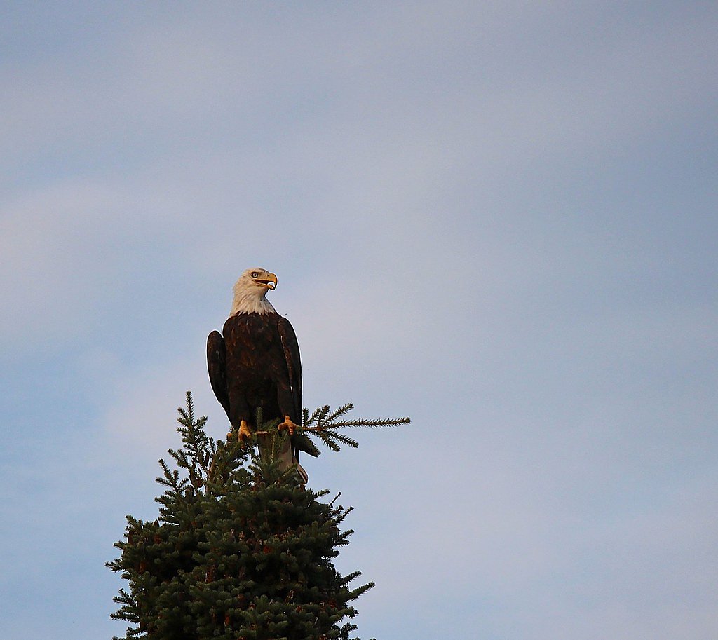
Wildlife
The area is home to a variety of wildlife, including moose, black bears, bald eagles, loons, and beavers.
Cities near Curtain Falls
Nearby Waterfalls

Other waterfalls named Curtain Falls
1 other waterfall shares this name across the U.S.
Writing about Curtain Falls? Embed this waterfall on your site for free.