Crystal Cascade Falls
By Armen Suny · Last verified May 2026
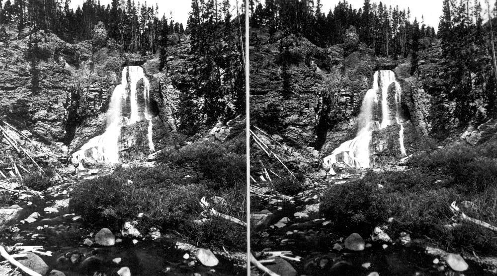
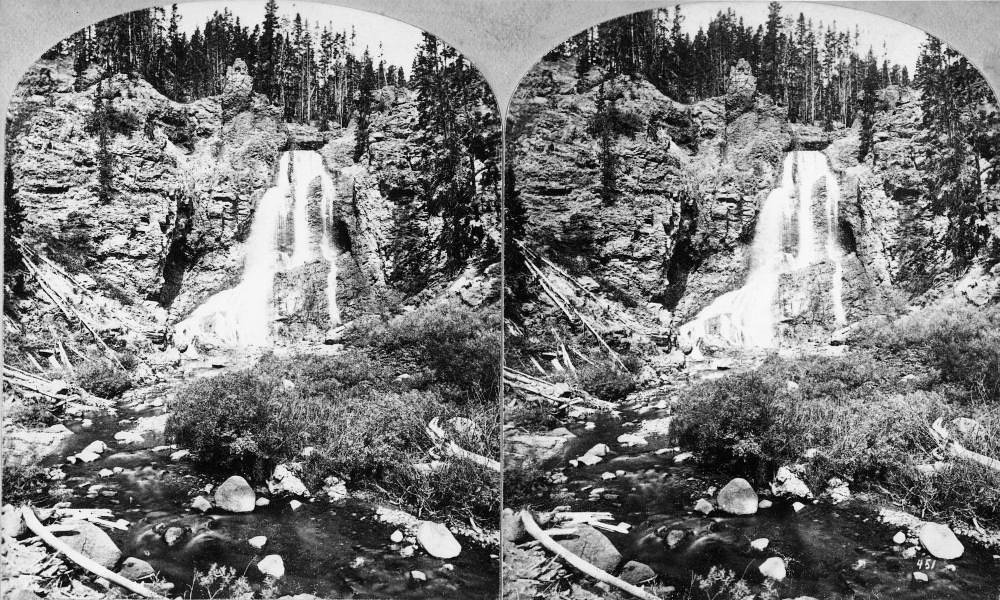
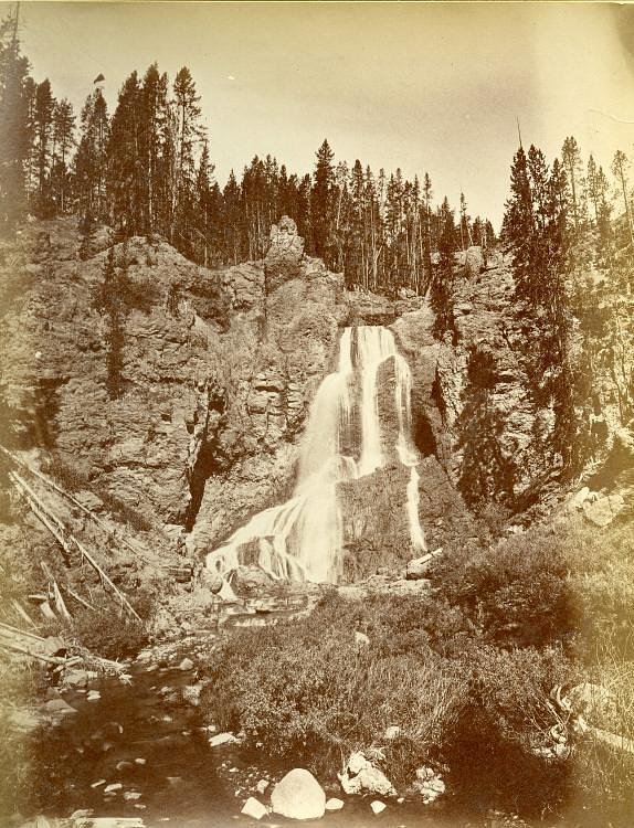
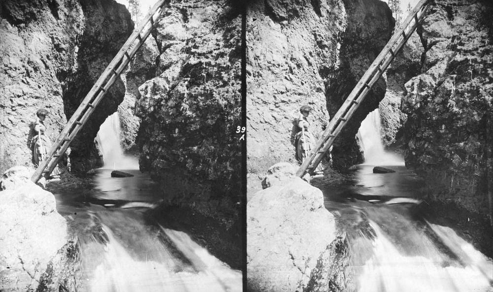

Photo Credits (5)
Difficulty
Moderate
Trail Length
2.4 miles
Trail Type
Out And Back
Elevation Gain
350 ft
About Crystal Cascade Falls
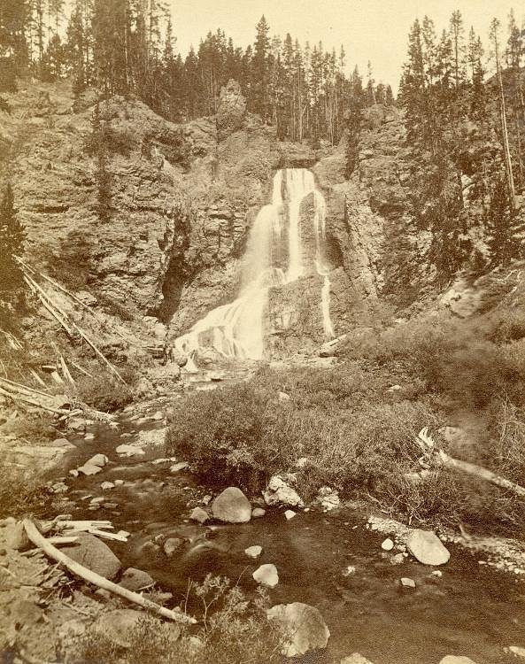
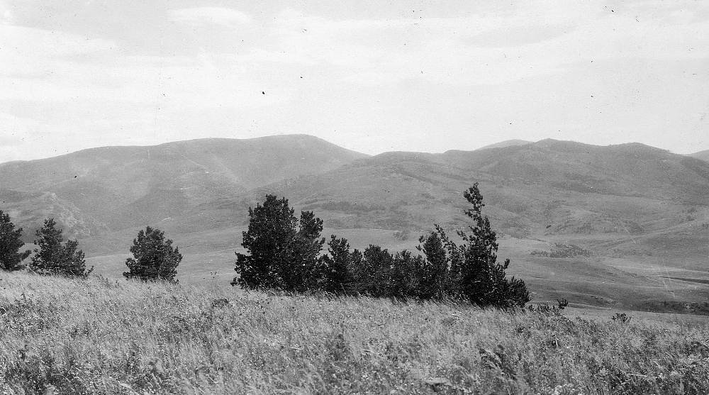
Crystal Cascade Falls is a picturesque roadside cascade set among Vermont’s quiet woodland, where clear water tumbles over ledges into fern-lined pools. The setting is intimate and photogenic, making it a rewarding stop for nature lovers and photographers seeking a peaceful escape rather than a strenuous summit. The falls’ gentle, forested surroundings invite a slow pace—bring a camera and a sense of curiosity to explore the riffles and rock outcrops along the stream. Access is friendly for a day trip, and overnight options are conveniently nearby: Stoughton Pond Rec Area lies about 6.55 km from the falls, making camping + waterfall hiking an easy combo. Whether you’re pairing this stop with other local hikes or planning a relaxed overnight at Stoughton Pond, the falls are an inviting destination for a half-day outing in Vermont’s woods.
The Setting
Crystal Cascade Falls sits at 1,467 feet along the Black River, in the foothills of Vermont.
Trail & Hike Details
The Approach
The moderate 2.4-mile out-and-back trail gains 350 feet of elevation on the way to the falls.
Trail Description
The primary route to Crystal Cascade Falls is a 2.4-mile out-and-back trail with approximately 350 feet of elevation gain, typically rated moderate in difficulty. The available data does not specify an official USFS trail name/number, trail surface, grade, or technical class, so trail conditions can vary; expect typical singletrack and forest-path terrain. Wear sturdy footwear, pack water, and check local resources for current trail conditions before you go.
What to Expect
Visitors can expect a tranquil natural setting with a beautiful waterfall surrounded by lush greenery. The area may be less crowded compared to more popular waterfalls.
Accessibility
The trail is not wheelchair accessible. Uneven terrain and elevation changes require steady footing.
Frequently Asked Questions
🐶 Are Dogs Allowed at Crystal Cascade Falls?
❌ Dogs are not allowed
Are There Any Fees or Permits Required?
🆖 No fees required
🏊 Is There Swimming at Crystal Cascade Falls?
❌ Swimming is not allowed
When to Visit
Spring and early summer are ideal for visiting, as the waterfall is likely to have the most water flow during these seasons.
Seasonal Access
The best time to visit is Spring, Summer, and Fall. Winter access may be limited.
Safety Information
Trail conditions may vary, and the area may be slippery near the waterfall. Visitors should exercise caution and avoid visiting during severe weather.
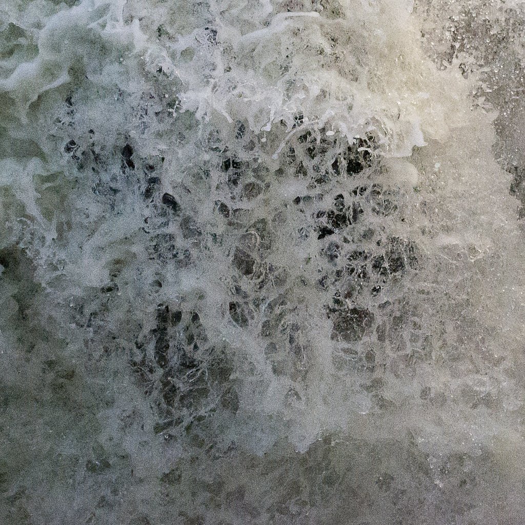
Current Water Conditions
42 ft³/s
Current discharge — how much water is flowing
About average for this time of year
Based on 68 years of record
1.80 ft
Water depth at gauge
7-Day Discharge Trend
What does this mean for your visit?
Flow is about average for this time of year.
About This Gauge
This gauge is on a nearby waterway and may not reflect exact conditions at the falls.
7-Day Flow Outlook
Based on the USGS gauge BLACK RIVER AT NORTH SPRINGFIELD, VT (12 km away).
Today
Barely Flowing
42 cfs
5/10Tomorrow
Low
45 cfs
3/10Tue
Low
50 cfs
3/10Wed
Low
59 cfs
3/10Thu
Low
57 cfs
3/10Fri
Low
55 cfs
3/10Sat
Low
50 cfs
4/10Best window: Today — barely flowing flow, mostly sunny (trip score 5/10).
Best time of year: this gauge typically runs highest from mid March to late May, peaking in April.
How we calculate this
This is a transparent outlook, not a precise forecast. We take the waterfall's current flow strength (how it ranks against its historical normal for today, from the nearest USGS stream gauge), carry that ranking forward along the gauge's seasonal curve, and nudge it for forecast rain. Confidence is highest for the next day or two and falls further out. Always check official conditions and your own judgment before visiting — high flows can be dangerous.
Know when to go.
Get a free email alert when waterfalls near Ascutney hit peak flow. We only send when conditions are worth the trip — no weekly newsletters, no spam.
Weather Forecast
Location & Access
Getting There
Crystal Cascade Falls is located in Vermont, but specific directions to the trailhead or parking area are not well-documented. Visitors are advised to consult local maps or guides for accurate directions.
Get Directions on Google MapsParking
Parking availability is unclear, but visitors should expect limited parking near the trailhead or along nearby roads.
Elevation
1,467 feet above sea level
Coordinates
43.434794° N, -72.467869° W
Visitor Tips & Gear
Wear sturdy footwear and bring a map or GPS device as trail conditions and signage may be unclear. Check weather conditions before visiting.
As an Amazon Associate, we earn from qualifying purchases.
With 2.4 miles and 350 ft of elevation gain, sturdy boots and trekking poles will help on this moderate trail. Sun exposure on the trail makes good sun protection a must in summer.

Polarized Sunglasses (Knockaround)
Cuts glare off the water so you actually see the falls — and your photos turn out better too.

Columbia Watertight II Rain Jacket
Packs into its own pocket, seam-sealed, and keeps you dry from spray and surprise rain.

Earth Pak Waterproof Dry Bag
Keeps your phone and gear dry when waterfall mist soaks everything else.

Waterproof Phone Pouch (AiRunTech)
Cheap insurance — take photos right next to the falls without killing your phone.

Timberland Euro Sprint Mid Waterproof
Trusted waterproof boot with premium leather and grippy rubber sole — reliable on rocky, wet trails.

TrailBuddy Trekking Poles
Lightweight aluminum, cork grips, and flip-locks that actually hold — a best-seller for good reason.
Where to Stay

Holiday Inn Club Vacations Mount Ascutney Resort

Manchester View

Seesaw's Lodge

Brook Road Inn
Browse vacation cabins and private rentals nearby
Unique outdoor stays — tents, yurts, and treehouses
Rent a campervan or RV for your waterfall road trip
Some links are affiliate links. We may earn a commission at no extra cost to you.
Nearby Campground
Stoughton Pond Rec Area
4.1 miles away · 1 sites
Overview Stoughton Pond Recreation Area is a day use area located to the north of North Springfield Lake. Stoughton Pond is located off State Route 106 on Stoughton Pond Road in Perkinsville, Vermont. Recreation Stoughton Pond Recreation Area offers plenty of activities for visitors of all ages. Many people enjoy canoeing, kayaking, boating and fishing. The state of Vermont Department of Fish and Game annually stock the pond with rainbow trout, and the pond also offers excellent bass fishing. A b
Book on Recreation.govNearby Hot Springs
Hot springs near Ascutney, Vermont
Looking for a soak after your hike? Explore more hot springs near Ascutney, Vermont on SoakingSprings.
Explore Vermont springsAdditional Information
Nearby Attractions
Nearby attractions may include other natural sites and hiking trails in Vermont. Specific recommendations are not documented.
Wildlife
The area may feature typical Vermont wildlife such as birds, deer, and small mammals. Visitors should be cautious and respect wildlife habitats.
Cities near Crystal Cascade Falls
Nearby Waterfalls
Writing about Crystal Cascade Falls? Embed this waterfall on your site for free.