Cochrans Falls
Georgia • 600 ft
By Armen Suny · Last verified May 2026
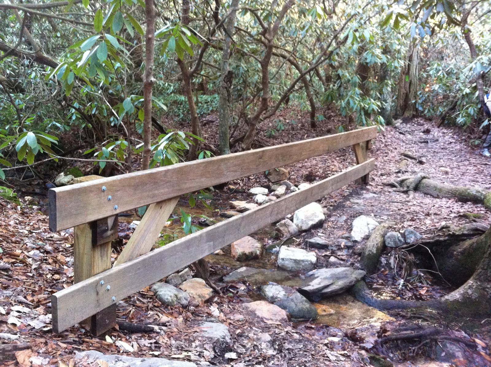
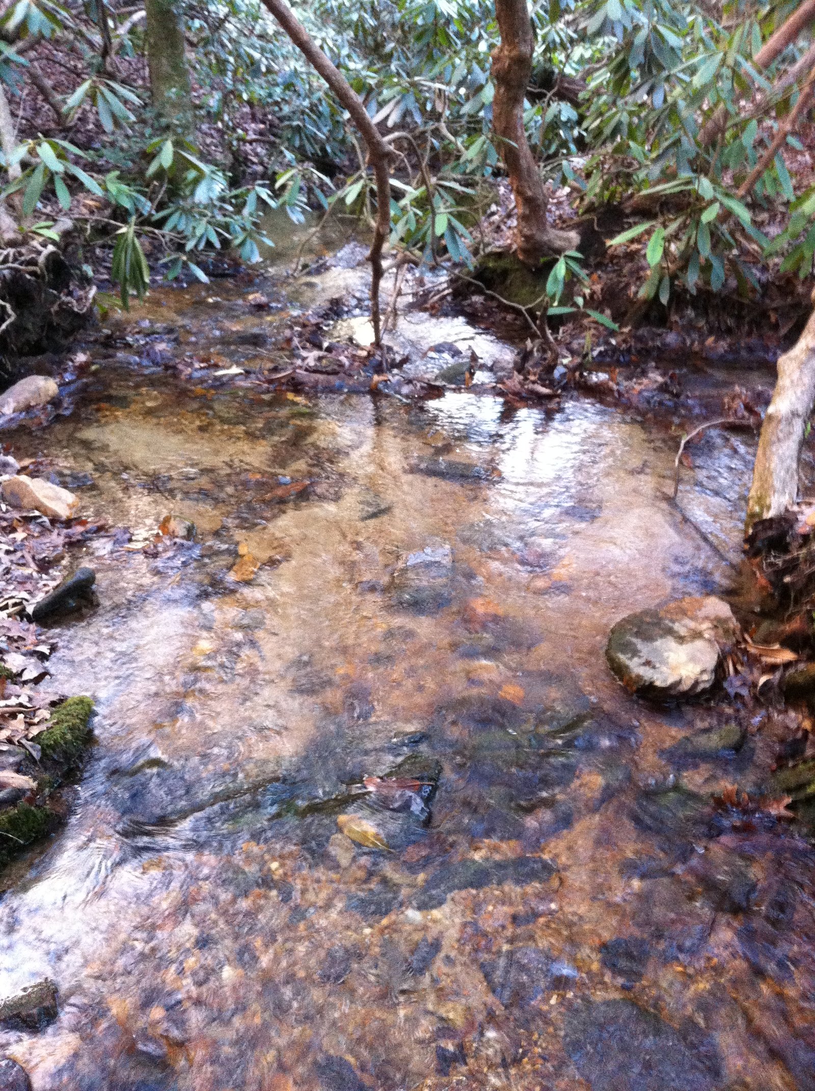

Photo Credits (3)
Difficulty
Hard
Trail Length
4.2 miles
Trail Type
Out And Back
Elevation Gain
1,200 ft
About Cochrans Falls
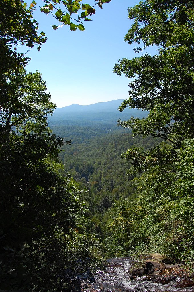
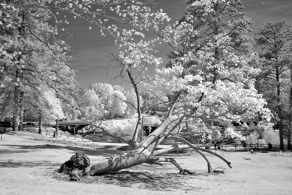
Cochrans Falls is one of the tallest waterfalls in Georgia, located near Dawsonville in the Chattahoochee National Forest. It features a series of cascading drops, with the main drop being particularly impressive. The waterfall is surrounded by lush forest and is a popular destination for hikers seeking a challenging trail.
The Setting
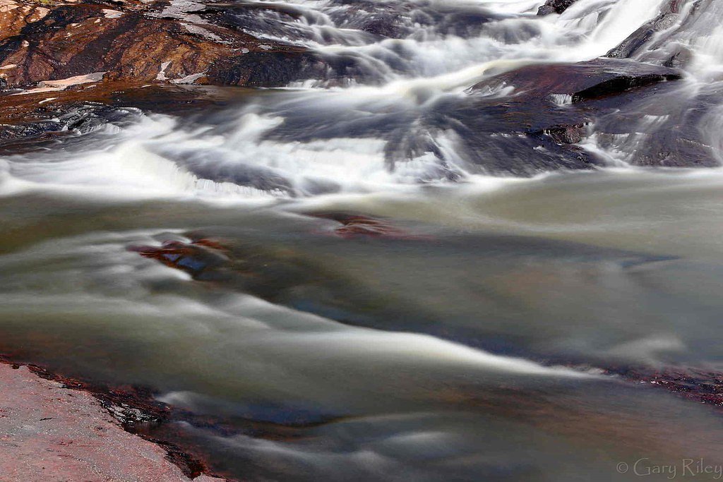
Cochrans Falls sits at 2,349 feet within Chattahoochee National Forest, fed by the Amicalola Creek, in the hills of Georgia. At 600 feet, it is among the taller waterfalls in Georgia.
Height: 600 feet
Nearby Falls Worth Visiting
Amicalola Falls, the tallest waterfall in Georgia at 729 feet, lies 1.8 miles to the southwest.
Trail & Hike Details
The Approach
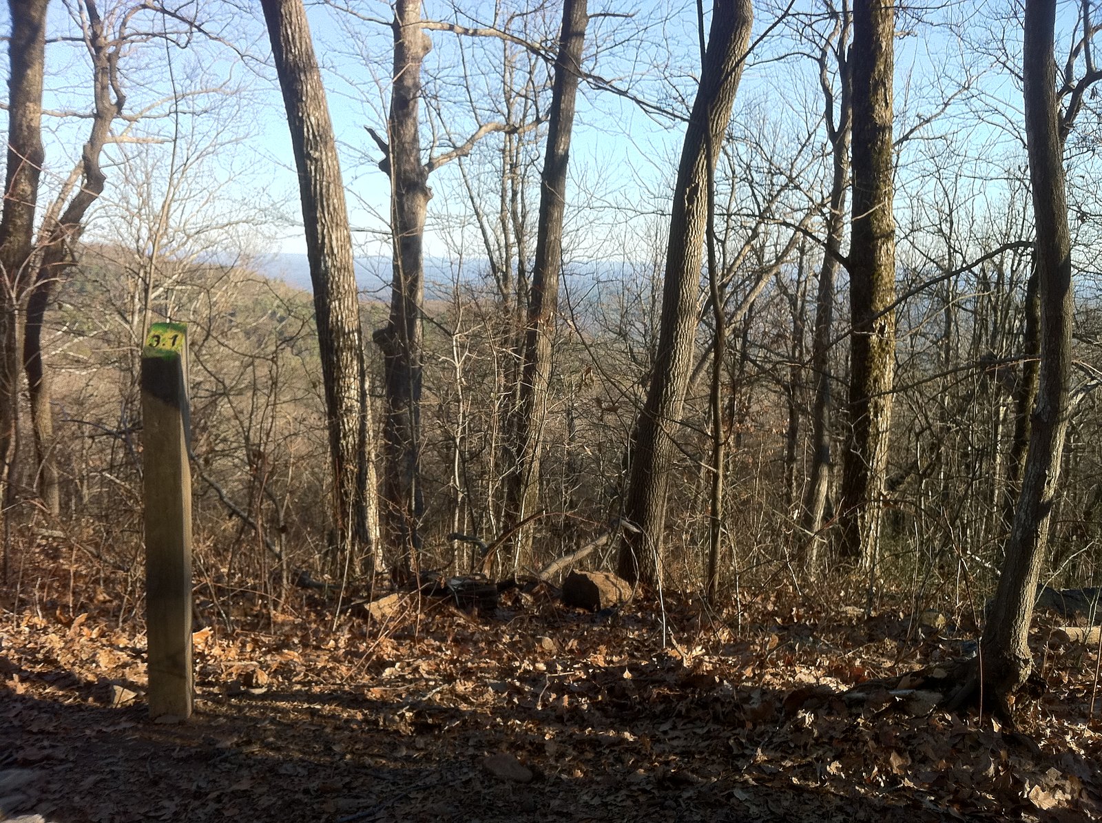
The hard hike follows Cochran Creek Falls (#280), a 4.2-mile out-and-back trail over natural surface. Expect 1,200 feet of elevation gain with grades of 12-20%. The trail is moderately developed (Class 2).
USFS Trail
COCHRAN CREEK FALLS #280
Trail Class
Moderately Developed
Surface
Avg Grade
USFS Segment
1.96 miTrail Description
The trail to Cochrans Falls is challenging, with steep sections and uneven terrain. It involves navigating through dense forest and crossing streams. The final approach to the waterfall may require scrambling over rocks and is not well-marked.
What to Expect
The falls plunge a dramatic 600 feet. Dogs are welcome.
Accessibility
The trail involves steep, uneven terrain with significant elevation change and is not accessible to mobility devices.
Frequently Asked Questions
🐶 Are Dogs Allowed at Cochrans Falls?
✅ Dogs are allowed
Are There Any Fees or Permits Required?
🆖 No fees required
🏊 Is There Swimming at Cochrans Falls?
❌ Swimming is not allowed
When to Visit
Spring and early summer are ideal for visiting, as the waterfall flow is typically strongest after seasonal rains. Fall offers beautiful foliage, while winter provides clearer views due to reduced foliage.
Seasonal Access
The best time to visit is Spring, Summer, and Fall. Winter access may be limited. Check with Chattahoochee National Forest for seasonal road closures.
Safety Information
The trail can be slippery and muddy, especially after rain. Use caution near the waterfall, as rocks can be unstable. Cell phone service may be limited, so inform someone of your plans before heading out.
Current Water Conditions
77 ft³/s
Current discharge — how much water is flowing
Much lower than usual for this time of year
Based on 33 years of record
0.51 ft
Water depth at gauge
7-Day Discharge Trend
What does this mean for your visit?
Flow is well below normal for this time of year, so the waterfall may be a trickle.
About This Gauge
This gauge is on a nearby waterway and may not reflect exact conditions at the falls.
7-Day Flow Outlook
Based on the USGS gauge AMICALOLA CREEK NEAR DAWSONVILLE, GA. (17 km away).
Today
Barely Flowing
77 cfs
5/10Tomorrow
Low
91 cfs
3/10Wed
Low
93 cfs
3/10Thu
Low
93 cfs
3/10Fri
Low
91 cfs
3/10Sat
Low
91 cfs
3/10Sun
Low
90 cfs
3/10Best window: Today — barely flowing flow, sunny (trip score 5/10).
Best time of year: this gauge typically runs highest from mid February to early May, peaking in February.
How we calculate this
This is a transparent outlook, not a precise forecast. We take the waterfall's current flow strength (how it ranks against its historical normal for today, from the nearest USGS stream gauge), carry that ranking forward along the gauge's seasonal curve, and nudge it for forecast rain. Confidence is highest for the next day or two and falls further out. Always check official conditions and your own judgment before visiting — high flows can be dangerous.
Know when to go.
Get a free email alert when waterfalls near Dawsonville hit peak flow. We only send when conditions are worth the trip — no weekly newsletters, no spam.
Weather Forecast
Location & Access
Getting There
Cochrans Falls is located near Dawsonville, Georgia. Access is typically via a trailhead near the end of a gravel road, but the road conditions can be rough and may require a high-clearance vehicle.
Get Directions on Google MapsParking
Limited parking is available near the trailhead. Visitors should be prepared for uneven terrain and ensure their vehicle is parked safely off the road.
Elevation
2,349 feet above sea level
Coordinates
34.579535° N, -84.213805° W
Land Management
Managed by USFS
Visitor Tips & Gear
Wear sturdy hiking boots and bring plenty of water. Start early to allow enough time for the hike and return before dark. Be cautious of slippery rocks near the waterfall and avoid hiking after heavy rain due to potential flooding or trail erosion.
As an Amazon Associate, we earn from qualifying purchases.
This challenging 4.2 miles trail gains 1,200 ft in elevation — come prepared with proper hiking boots and trekking poles. Sun exposure on the trail makes good sun protection a must in summer.

Sawyer Squeeze Water Filter
The backcountry standard — filters 99.9% of bacteria and weighs just 3 oz.

Polarized Sunglasses (Knockaround)
Cuts glare off the water so you actually see the falls — and your photos turn out better too.

Columbia Watertight II Rain Jacket
Packs into its own pocket, seam-sealed, and keeps you dry from spray and surprise rain.

Earth Pak Waterproof Dry Bag
Keeps your phone and gear dry when waterfall mist soaks everything else.

Waterproof Phone Pouch (AiRunTech)
Cheap insurance — take photos right next to the falls without killing your phone.

Timberland Euro Sprint Mid Waterproof
Trusted waterproof boot with premium leather and grippy rubber sole — reliable on rocky, wet trails.
Where to Stay

Cozy Cottage in Big Canoe

Bearly Behavin

Petit Crest Villas

Quality Inn Dahlonega Near University
Browse vacation cabins and private rentals nearby
Unique outdoor stays — tents, yurts, and treehouses
Rent a campervan or RV for your waterfall road trip
Some links are affiliate links. We may earn a commission at no extra cost to you.
Nearby Campground
Toccoa River Sandy Bottoms Campground
14.4 miles away · 6 sites
Overview This small campground is located along the banks of the Toccoa River just south of Blue Ridge, GA. This recreation area is the take-out for the 13.8 mile Toccoa River Canoe Trail. The recreation area offers camping, fishing and a canoe take-out. Same day Reservations are accepted. Quiet hours 10pm to 6 am. Sandy Bottoms provides a rustic experience for the outdoor enthusiast to camp, swim, fish or just to sit back and enjoy the scenery. Recreation The Chattahoochee National Forest offer
Book on Recreation.govAdditional Information
Nearby Attractions
Amicalola Falls State Park is located nearby and offers additional hiking opportunities and scenic views.
Wildlife
The area is home to a variety of wildlife, including deer, birds, and small mammals. Be cautious of snakes, especially in warmer months.
Cities near Cochrans Falls
Nearby Waterfalls
Writing about Cochrans Falls? Embed this waterfall on your site for free.