Photo Credits (5)
Difficulty
Moderate
Trail Length
2.4 miles
Trail Type
Out And Back
Elevation Gain
350 ft
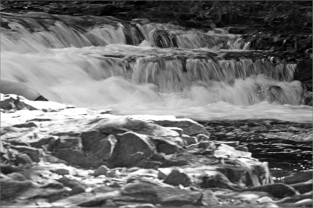
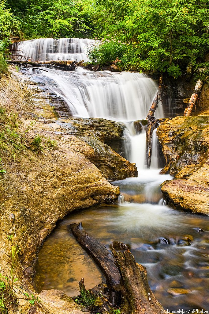
About Chipmunk Falls
Chipmunk Falls is a small, lesser-known cascade tucked into the dense woodlands near Grand Marais in Michigan’s Upper Peninsula. The falls sit on a modest stream and are at their most dramatic in spring or after heavy rains, making this a peaceful spot for photographers and hikers who prefer quieter, off-the-beaten-path destinations. Surrounded by mature forest, the site rewards visitors with a secluded, contemplative vibe rather than a large, developed viewing area. The approach is a moderate outing: the route to the falls is a 2.4-mile out-and-back with roughly 350 feet of elevation gain. Because the path is not heavily developed or widely maintained, hikers should expect a lightly traveled experience and plan accordingly—sturdy footwear and basic navigation are recommended for anyone seeking this tranquil spot.
Trail & Hike Details
The Approach
The moderate 2.4-mile out-and-back trail gains 350 feet of elevation on the way to the falls.
Trail Description
Trail length: 2.4 miles (out-and-back). Elevation gain: approximately 350 feet. Difficulty: moderate. The path to Chipmunk Falls is not well-documented and includes minimally maintained, natural forest tread. Hikers should be prepared for uneven ground, roots, rocks, muddy sections, and occasional fallen trees; wayfinding may be required in places. No USFS trail number or formal surface/grade data are provided for this route, so treat it as a lightly trafficked, rustic hike and bring appropriate gear and navigation aids.
What to Expect
Expect a quiet, natural setting with minimal crowds. The waterfall is relatively small and may have low water flow during dry periods. The surrounding forest provides a serene atmosphere, making it a great spot for nature enthusiasts.
Accessibility
The trail is not wheelchair accessible. Uneven terrain and elevation changes require steady footing.
Frequently Asked Questions
🐶 Are Dogs Allowed at Chipmunk Falls?
❌ Dogs are not allowed
Are There Any Fees or Permits Required?
🆖 No fees required
🏊 Is There Swimming at Chipmunk Falls?
❌ Swimming is not allowed
When to Visit
Spring and early summer are the best times to visit Chipmunk Falls, as water flow is typically higher due to snowmelt and rainfall.
Seasonal Access
The best time to visit is Spring, Summer, and Fall. Winter access may be limited.
Safety Information
Visitors should exercise caution when navigating unmarked trails and forest terrain. Be aware of slippery rocks near the waterfall and watch for changing weather conditions. Cell service may be limited in the area.
Know when to go.
Get a free email alert when waterfalls near Grand Marais hit peak flow. We only send when conditions are worth the trip — no weekly newsletters, no spam.
Weather Forecast
Location & Access
Getting There
Chipmunk Falls is located approximately 0.9 miles from Grand Marais, Michigan. The falls can be accessed via local forest roads, but specific directions may vary depending on the season and road conditions. Visitors are advised to use a GPS device or consult local maps for the most accurate route.
Get Directions on Google MapsParking
Parking is limited and may involve roadside parking or small pull-offs near the trailhead. Visitors should ensure they are not blocking access to forest roads.
Elevation
696 feet above sea level
Coordinates
46.669703° N, -85.955719° W
Visitor Tips & Gear
Bring a map or GPS device as the trail may not be clearly marked. Wear sturdy footwear and be prepared for potential muddy or uneven terrain. Check local conditions before visiting, especially during winter or after heavy rains, as access roads may be difficult to navigate.
As an Amazon Associate, we earn from qualifying purchases.
With 2.4 miles and 350 ft of elevation gain, sturdy boots and trekking poles will help on this moderate trail. Sun exposure on the trail makes good sun protection a must in summer.

Polarized Sunglasses (Knockaround)
Cuts glare off the water so you actually see the falls — and your photos turn out better too.

Columbia Watertight II Rain Jacket
Packs into its own pocket, seam-sealed, and keeps you dry from spray and surprise rain.

Earth Pak Waterproof Dry Bag
Keeps your phone and gear dry when waterfall mist soaks everything else.

Waterproof Phone Pouch (AiRunTech)
Cheap insurance — take photos right next to the falls without killing your phone.

Timberland Euro Sprint Mid Waterproof
Trusted waterproof boot with premium leather and grippy rubber sole — reliable on rocky, wet trails.

TrailBuddy Trekking Poles
Lightweight aluminum, cork grips, and flip-locks that actually hold — a best-seller for good reason.
Where to Stay


Browse vacation cabins and private rentals nearby
Unique outdoor stays — tents, yurts, and treehouses
Rent a campervan or RV for your waterfall road trip
Some links are affiliate links. We may earn a commission at no extra cost to you.
Nearby Campground
Hurricane River Campground
10 miles away · 22 sites
Overview Pictured Rocks National Lakeshore hugs the Lake Superior shoreline for more than 40 miles along Michigan's northern coast. Lake Superior is the largest, deepest, coldest, and most pristine of all the Great Lakes. Camping at Pictured Rocks National Lakeshore is a great way to relax and enjoy the beauties the lakeshore has to offer. Campgrounds are rustic, and do not provide electric or sewer hookups. Campers, trailers, and RVs are welcome, note there are generator free areas. Cell phone r
Book on Recreation.govAdditional Information
Nearby Attractions
Nearby attractions include Pictured Rocks National Lakeshore, Sable Falls, and the town of Grand Marais.
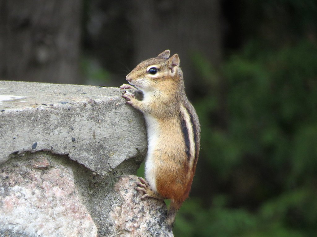
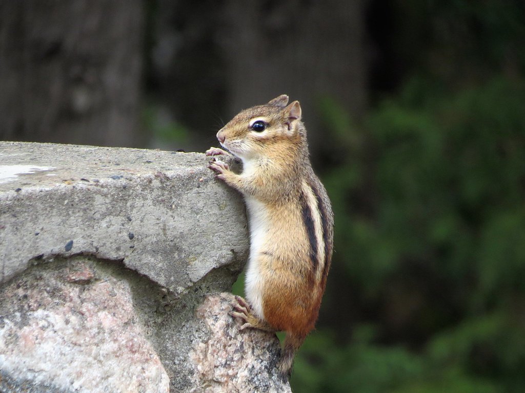
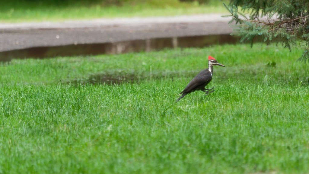
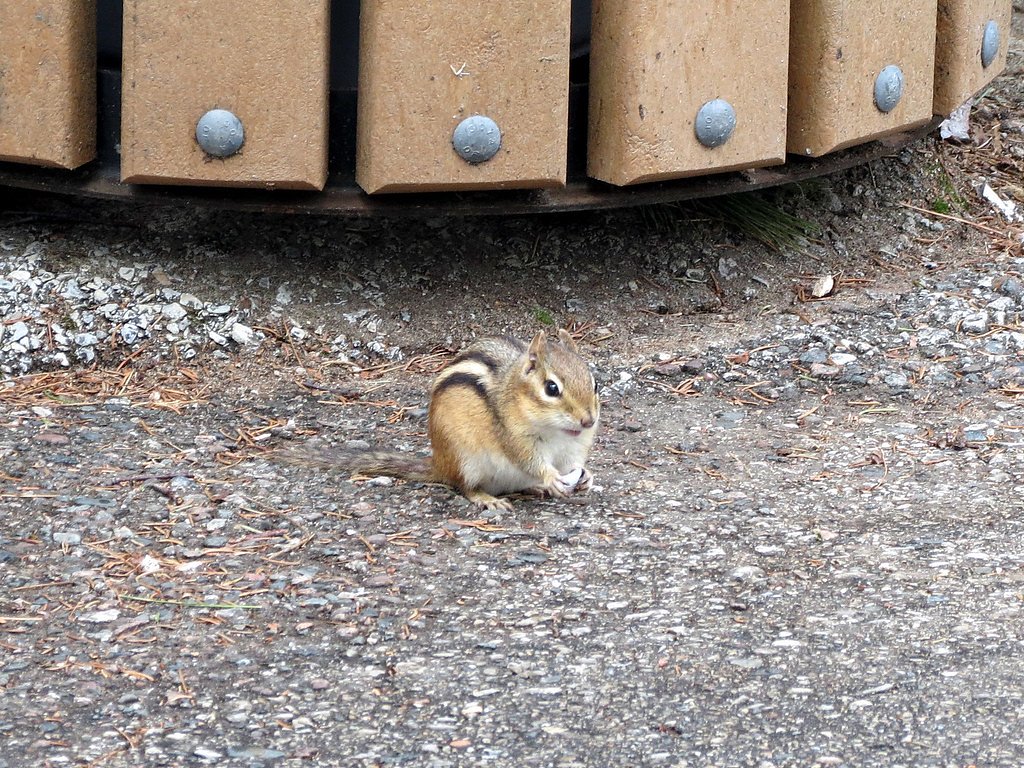
Wildlife
The area is home to a variety of wildlife, including birds, deer, and small mammals. Visitors should be cautious of ticks and other insects.
Cities near Chipmunk Falls
Nearby Waterfalls
Other waterfalls named Chipmunk Falls
2 other waterfalls share this name across the U.S.
Writing about Chipmunk Falls? Embed this waterfall on your site for free.