Chipmunk Falls
By Armen Suny · Last verified Mar 2026
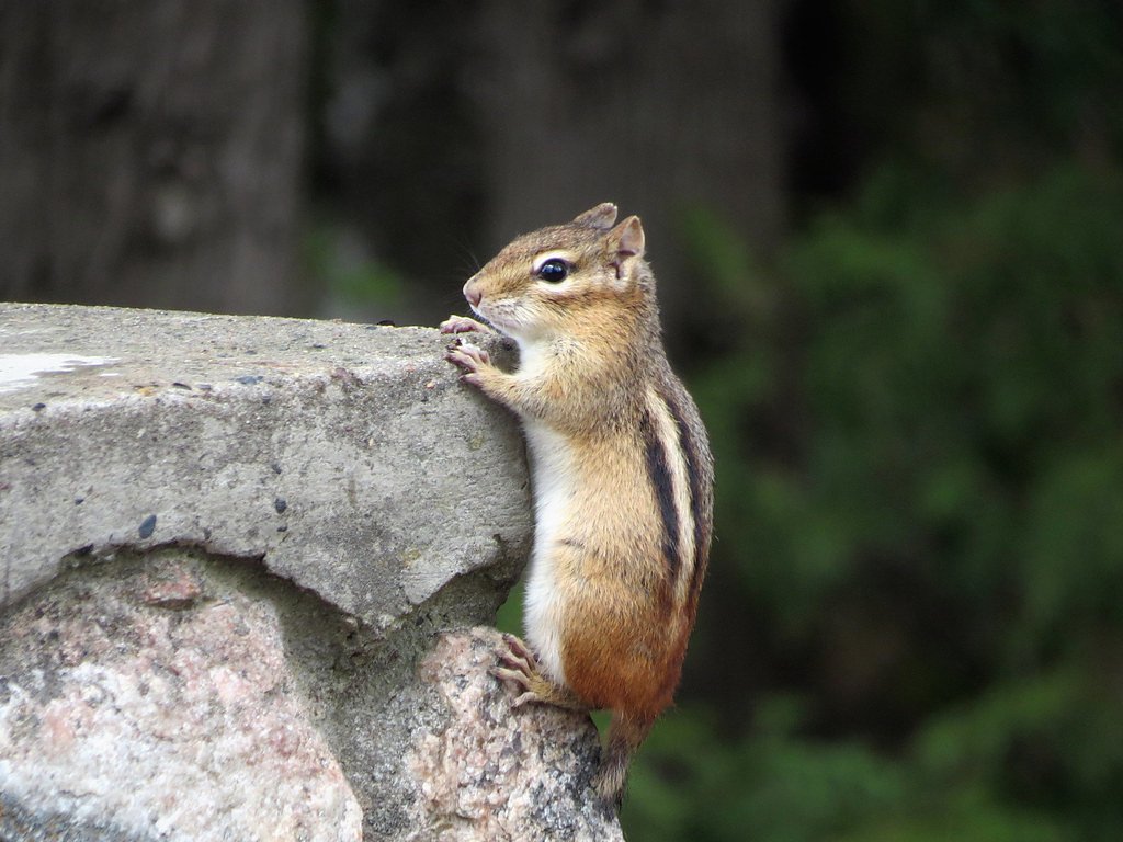
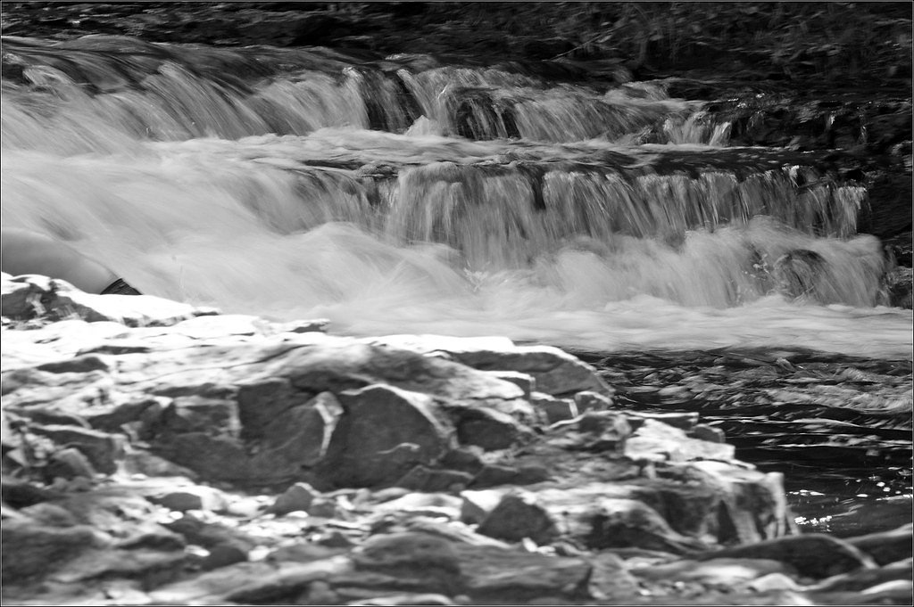
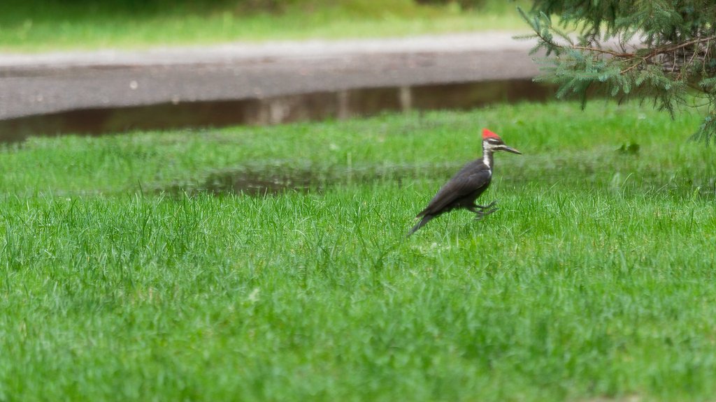
Photo Credits (5)
Difficulty
Easy
Trail Length
0.6 miles
Trail Type
Out And Back
Elevation Gain
100 ft
About Chipmunk Falls
Chipmunk Falls is a small, picturesque cascade tucked into Michigan’s Upper Peninsula inside the Crystal Falls State Forest Area. Managed by SDNR and designated SCA, the falls sit in a mossy, wooded ravine that feels sheltered and quiet—ideal for hikers and photographers looking for a low-key nature stop. The surrounding mixed forest and dappled light give the spot a peaceful vibe, especially outside peak summer weekends. Because this waterfall isn’t heavily developed or widely known, visitors should expect a natural, secluded experience rather than formal viewpoints or amenities. The setting rewards a brief visit during a longer day of exploring the state forest; please respect the area’s stewardship under SDNR and practice Leave No Trace to help keep the site tranquil for others.
The Setting
Chipmunk Falls sits at 1,440 feet within Crystal Falls State Forest Area, fed by the Iron River, in the foothills of Michigan.
Trail & Hike Details
The Approach
The easy 0.6-mile out-and-back trail gains 100 feet of elevation on the way to the falls.
Trail Description
This short out-and-back route is 0.6 miles round-trip with about 100 feet of elevation gain and is rated easy. The path is predominantly through wooded terrain and is relatively gentle, making it a quick walk from nearby access points. Some sections can be unmarked or indistinct, so pay attention to visible game or foot paths and be prepared to navigate a natural, minimally maintained route. Formal surface, grade, and trail class data are not provided for this route.
What to Expect
Dogs are welcome.
Accessibility
The trail is short and relatively flat, but the surface may be uneven. Contact the managing agency for accessibility details.
Frequently Asked Questions
🐶 Are Dogs Allowed at Chipmunk Falls?
✅ Dogs are allowed
Are There Any Fees or Permits Required?
🆖 No fees required
🏊 Is There Swimming at Chipmunk Falls?
❌ Swimming is not allowed
When to Visit
Spring and early summer are ideal times to visit, as the water flow is typically stronger due to snowmelt and rainfall.
Seasonal Access
The best time to visit is Spring, Summer, and Fall. Winter access may be limited.
Safety Information
Be cautious of slippery rocks near the falls, especially after rain. Cell phone service may be limited in the area, so plan accordingly.
Current Water Conditions
Based on a USGS gauge 16.4 miles away
106 ft³/s
Current discharge — how much water is flowing
Higher than usual for this time of year
Based on 54 years of record
4.74 ft
Water depth at gauge
7-Day Discharge Trend
What does this mean for your visit?
The water is flowing higher than usual for this time of year.
About This Gauge
This gauge is on a regional waterway. Conditions at the falls may differ, especially after local rain.
7-Day Flow Outlook
Based on the USGS gauge IRON RIVER AT CASPIAN, MI (26 km away).
Today
Roaring
106 cfs
9/10Tomorrow
Roaring
102 cfs
9/10Sun
Roaring
109 cfs
6/10Mon
Roaring
120 cfs
6/10Tue
Roaring
123 cfs
6/10Wed
Roaring
123 cfs
6/10Thu
Roaring
117 cfs
6/10Best window: Today — roaring flow, partly sunny (trip score 9/10).
Best time of year: this gauge typically runs highest from late March to mid June, peaking in April.
How we calculate this
This is a transparent outlook, not a precise forecast. We take the waterfall's current flow strength (how it ranks against its historical normal for today, from the nearest USGS stream gauge), carry that ranking forward along the gauge's seasonal curve, and nudge it for forecast rain. Confidence is highest for the next day or two and falls further out. Always check official conditions and your own judgment before visiting — high flows can be dangerous.
Know when to go.
Get a free email alert when waterfalls near Amasa hit peak flow. We only send when conditions are worth the trip — no weekly newsletters, no spam.
Weather Forecast
Location & Access
Getting There
Chipmunk Falls is located near the town of Munising in Michigan's Upper Peninsula. It may require navigating forest roads or trails to access the site. Visitors should use a reliable map or GPS to locate the falls.
Get Directions on Google MapsParking
Parking availability is limited and may involve roadside parking or small pull-offs near the trailhead.
Elevation
1,440 feet above sea level
Coordinates
46.291615° N, -88.563192° W
Land Management
Managed by SDNR
Visitor Tips & Gear
Wear sturdy shoes as the trail may be uneven or muddy, especially after rain. Bring insect repellent during warmer months, as mosquitoes and other insects are common in the area.
As an Amazon Associate, we earn from qualifying purchases.
For this easy 0.6 miles trail, lightweight trail shoes and a water bottle are usually sufficient. Sun exposure on the trail makes good sun protection a must in summer.

Polarized Sunglasses (Knockaround)
Cuts glare off the water so you actually see the falls — and your photos turn out better too.

Columbia Watertight II Rain Jacket
Packs into its own pocket, seam-sealed, and keeps you dry from spray and surprise rain.

Earth Pak Waterproof Dry Bag
Keeps your phone and gear dry when waterfall mist soaks everything else.

Waterproof Phone Pouch (AiRunTech)
Cheap insurance — take photos right next to the falls without killing your phone.

JOBY GorillaPod Starter Kit
Wraps around railings and rocks for long-exposure waterfall shots — no flat surface needed.

Osprey Daylite Daypack
Light, organized, and just the right size for a day hike — fits water, snacks, and layers.
Where to Stay

AmericInn by Wyndham Iron River

Lakeshore Motel Ice Lake

Phelps Cabin on 26 Acres with Fire Pit!

Two Rivers Motel and Cabins of Kenton, MI
Browse vacation cabins and private rentals nearby
Unique outdoor stays — tents, yurts, and treehouses
Rent a campervan or RV for your waterfall road trip
Some links are affiliate links. We may earn a commission at no extra cost to you.
Nearby Campground
Perch Lake Campground
7.3 miles away · 20 sites
Overview Perch Lake Campground is located 10 miles south of Sidnaw on the Kenton Ranger District. This one loop campground provides 20 drive-in campsites that can accommodate tents, trailers and motor homes. This location provides visitors with excellent fishing, and a unique camping experience, with many of the spacious sites having lake access. Recreation Besides fishing, canoeing and kayaking is popular on this lake and an excellent way to experience the beauty of this area. Facilities This on
Book on Recreation.govAdditional Information
Nearby Attractions
Nearby attractions include Munising Falls, Pictured Rocks National Lakeshore, and other waterfalls in the area such as Wagner Falls and Alger Falls.
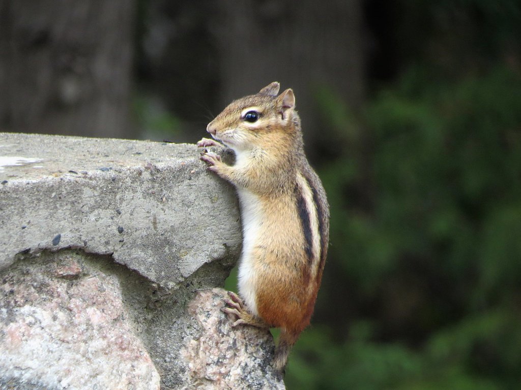
Wildlife
The area is home to a variety of wildlife, including birds, deer, and small mammals. Visitors should be cautious of ticks and other insects.
Cities near Chipmunk Falls
Other waterfalls named Chipmunk Falls
2 other waterfalls share this name across the U.S.
Writing about Chipmunk Falls? Embed this waterfall on your site for free.