Photo Credits (5)
Difficulty
Moderate
Trail Length
2.4 miles
Trail Type
Out And Back
Elevation Gain
350 ft
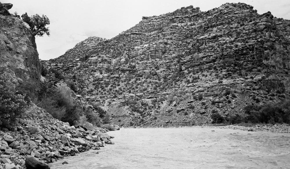
About Chandler Falls
Chandler Falls is a small, picturesque cascade on the Dead River in Michigan’s Upper Peninsula. Tucked into a quiet, forested stretch, the falls offer a serene setting and attractive photo opportunities for hikers who don’t mind trading crowds for solitude. The site’s relatively remote feel means the visit rewards a little effort on the trail with a peaceful, natural scene at the water’s edge. Access is most commonly made via a moderate out-and-back hike of about 2.4 miles with roughly 350 feet of elevation gain, so plan for uneven footing and take your time to enjoy the surroundings. For overnight stays, Little Bay de Noc campground lies nearby (about 8.48 km away), making Chandler Falls an easy day trip from local camping areas.
The Setting
Chandler Falls sits at 643 feet along the Ford River, in the foothills of Michigan.
Trail & Hike Details
The Approach
The moderate 2.4-mile out-and-back trail gains 350 feet of elevation on the way to the falls.
Trail Description
The trail to Chandler Falls is an out-and-back route of approximately 2.4 miles round trip with about 350 feet of elevation gain and is commonly rated moderate. The tread winds through forested terrain and can be uneven or root-strewn in places; some sections may be unmarked, so hikers should be prepared to navigate carefully with a map or GPS and wear sturdy footwear. Trail surface, grade, and official trail class are not specified in the available route information, so expect mostly natural singletrack and rustic conditions.
What to Expect
Dogs are welcome.
Accessibility
The trail is not wheelchair accessible. Uneven terrain and elevation changes require steady footing.
Frequently Asked Questions
🐶 Are Dogs Allowed at Chandler Falls?
✅ Dogs are allowed
Are There Any Fees or Permits Required?
🆖 No fees required
🏊 Is There Swimming at Chandler Falls?
❌ Swimming is not allowed
When to Visit
Spring and early summer are ideal times to visit, as the waterfall is typically at its fullest due to snowmelt and rainfall.
Seasonal Access
The best time to visit is Spring, Summer, and Fall. Winter access may be limited.
Safety Information
The trail may be slippery when wet, and there are no guardrails near the waterfall. Exercise caution near the water's edge. In winter, snow and ice can make the trail hazardous.
Current Water Conditions
168 ft³/s
Current discharge — how much water is flowing
About average for this time of year
Based on 71 years of record
2.21 ft
Water depth at gauge
7-Day Discharge Trend
What does this mean for your visit?
Flow is about average for this time of year.
About This Gauge
This gauge is on a nearby waterway and may not reflect exact conditions at the falls.
7-Day Flow Outlook
Based on the USGS gauge FORD RIVER NEAR HYDE, MI (12 km away).
Today
Barely Flowing
168 cfs
5/10Tomorrow
Barely Flowing
165 cfs
5/10Sun
Barely Flowing
161 cfs
3/10Mon
Low
163 cfs
3/10Tue
Low
171 cfs
3/10Wed
Low
186 cfs
3/10Thu
Low
197 cfs
3/10Best window: Today — barely flowing flow, partly sunny (trip score 5/10).
Best time of year: this gauge typically runs highest from late March to mid June, peaking in April.
How we calculate this
This is a transparent outlook, not a precise forecast. We take the waterfall's current flow strength (how it ranks against its historical normal for today, from the nearest USGS stream gauge), carry that ranking forward along the gauge's seasonal curve, and nudge it for forecast rain. Confidence is highest for the next day or two and falls further out. Always check official conditions and your own judgment before visiting — high flows can be dangerous.
Know when to go.
Get a free email alert when waterfalls near Gladstone hit peak flow. We only send when conditions are worth the trip — no weekly newsletters, no spam.
Weather Forecast
Location & Access
Getting There
Chandler Falls is located near Marquette, Michigan, in the Upper Peninsula. Access typically involves driving on forest roads and potentially hiking a short distance. Exact directions may vary, so consulting a local map or guide is recommended.
Get Directions on Google MapsParking
Parking is limited and may involve roadside parking or small pull-offs near the trailhead.
Elevation
643 feet above sea level
Coordinates
45.832500° N, -87.091667° W
Visitor Tips & Gear
Wear sturdy shoes, as the trail may be uneven or muddy in places. Bring bug spray during the summer months to protect against mosquitoes. Check local conditions before visiting, especially in winter, as snow and ice may make access difficult.
As an Amazon Associate, we earn from qualifying purchases.
With 2.4 miles and 350 ft of elevation gain, sturdy boots and trekking poles will help on this moderate trail. Sun exposure on the trail makes good sun protection a must in summer.

Polarized Sunglasses (Knockaround)
Cuts glare off the water so you actually see the falls — and your photos turn out better too.

Columbia Watertight II Rain Jacket
Packs into its own pocket, seam-sealed, and keeps you dry from spray and surprise rain.

Earth Pak Waterproof Dry Bag
Keeps your phone and gear dry when waterfall mist soaks everything else.

Waterproof Phone Pouch (AiRunTech)
Cheap insurance — take photos right next to the falls without killing your phone.

Timberland Euro Sprint Mid Waterproof
Trusted waterproof boot with premium leather and grippy rubber sole — reliable on rocky, wet trails.

TrailBuddy Trekking Poles
Lightweight aluminum, cork grips, and flip-locks that actually hold — a best-seller for good reason.
Where to Stay

Terrace Bay Hotel - Lakefront

Magnuson Grand Pioneer Inn and Suites

Hillcrest Motel

Comfort Suites Escanaba West
Browse vacation cabins and private rentals nearby
Unique outdoor stays — tents, yurts, and treehouses
Rent a campervan or RV for your waterfall road trip
Some links are affiliate links. We may earn a commission at no extra cost to you.
Nearby Campground
Little Bay de Noc
5.3 miles away · 38 sites
Overview Little Bay Campground provides a quiet respite from more developed campgrounds in the area. It has long been a favorite for visitors seeking solitude. Beautiful sunsets can be seen over the glistening water of the Little Bay de Noc, and campers enjoy water activities on the lake.Recreation The bay is widely recognized as one of the finest walleye fisheries in the country. The Hunter's Point paved boat ramp is located less than a mile from the entrance of the campground. Other than fishin
Book on Recreation.govAdditional Information
Nearby Attractions
Other waterfalls in the Marquette area, such as Dead River Falls and Morgan Falls. The city of Marquette also offers dining, shopping, and Lake Superior views.
Wildlife
The area is home to a variety of wildlife, including birds, deer, and small mammals. Be cautious of ticks during warmer months.
Cities near Chandler Falls
Nearby Waterfalls
Other waterfalls named Chandler Falls
1 other waterfall shares this name across the U.S.
Writing about Chandler Falls? Embed this waterfall on your site for free.