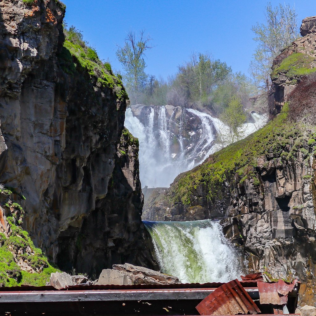
Celestial Falls
Oregon • 45 ft
By Armen Suny · Last verified Sep 2026
LiDAR & 3D terrain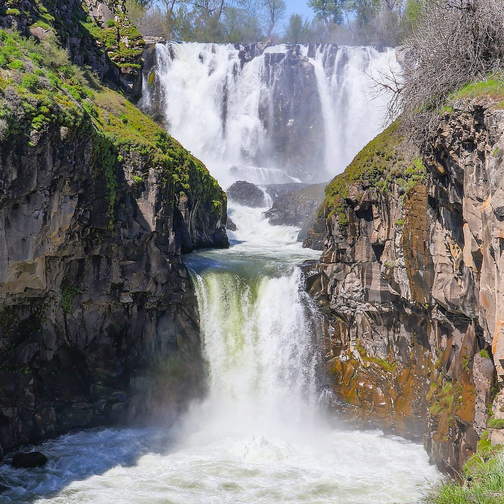
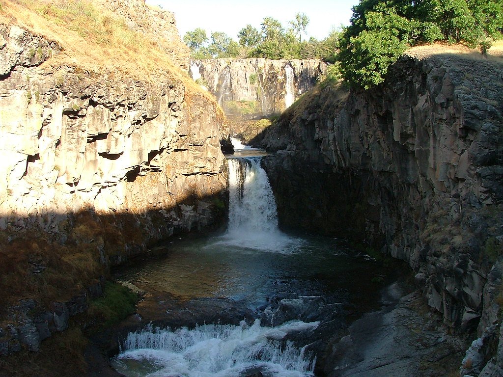



Photo Credits (5)
Difficulty
Easy
Trail Length
0.5 miles
Trail Type
Out And Back
About Celestial Falls
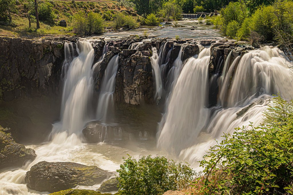
Celestial Falls is a stunning 45-foot waterfall located on the White River in Oregon. Known for its dramatic drop and turquoise pool, it is a popular destination for nature enthusiasts and photographers. The waterfall is part of the White River Falls State Park, which offers scenic views and opportunities for exploration.
The Setting
Celestial Falls sits at 938 feet within White River Falls State Park, fed by the White River, in the foothills of Oregon. The falls drop 45 feet.
Height: 45 feet
Trail & Hike Details
Trail Description
The trail to Celestial Falls is short and relatively flat, making it accessible for most visitors. It begins at the parking lot and leads to a viewpoint overlooking the falls. For those who wish to explore further, there are paths that lead closer to the base of the falls, but these can be steep and uneven.
What to Expect
The falls drop 45 feet. Dogs are welcome.
Accessibility
The trail is short and relatively flat, but the surface may be uneven. Contact the managing agency for accessibility details.
Frequently Asked Questions
🐶 Are Dogs Allowed at Celestial Falls?
✅ Dogs are allowed
Are There Any Fees or Permits Required?
🤑 Fee: $5.00
🏊 Is There Swimming at Celestial Falls?
❌ Swimming is not allowed
When to Visit
Spring and early summer are ideal times to visit, as the waterfall is at its fullest due to snowmelt. Fall offers beautiful foliage, while summer provides warm weather for exploration.
Seasonal Access
The best time to visit is Spring, Summer, and Fall. Winter access may be limited.
Safety Information
Exercise caution near the falls, as rocks can be slippery and the currents are strong. Stay on marked trails and supervise children closely. Be aware of potential hazards such as loose rocks and uneven terrain.
Current Water Conditions
115 ft³/s
Current discharge — how much water is flowing
About average for this time of year
Based on 78 years of record
1.55 ft
Water depth at gauge
7-Day Discharge Trend
What does this mean for your visit?
Flow is about average for this time of year.
About This Gauge
7-Day Flow Outlook
Based on the USGS gauge WHITE RIVER BELOW TYGH VALLEY, OR (0 km away).
Today
Roaring
115 cfs
9/10Tomorrow
Roaring
115 cfs
9/10Mon
Roaring
113 cfs
9/10Tue
Roaring
112 cfs
9/10Wed
Roaring
114 cfs
9/10Thu
Roaring
118 cfs
9/10Fri
Roaring
120 cfs
9/10Best window: Today — roaring flow, sunny (trip score 9/10).
Best time of year: this gauge typically runs highest from late March to early June, peaking in May.
How we calculate this
This is a transparent outlook, not a precise forecast. We take the waterfall's current flow strength (how it ranks against its historical normal for today, from the nearest USGS stream gauge), carry that ranking forward along the gauge's seasonal curve, and nudge it for forecast rain. Confidence is highest for the next day or two and falls further out. Always check official conditions and your own judgment before visiting — high flows can be dangerous.
Know when to go.
Get a free email alert when waterfalls near Tygh Valley hit peak flow. We only send when conditions are worth the trip — no weekly newsletters, no spam.
Weather Forecast
The Terrain, Seen by LiDAR
Aircraft-mounted lasers measured this ground to within inches. Trees and buildings are digitally stripped away, leaving the bare shape of the land the water has carved.
Along the line through the falls, the bare ground drops about 181 feet, most of it in one sheer step, the signature of a plunge waterfall. The falls are listed at 45 feet; the extra comes from the ravine that continues below the base. The ground at the falls is roughly 886 feet above sea level.
The whole reach is steep: about 154 feet of descent in the 500 feet above the falls and another 212 feet in the 500 feet below. The falls face east and catch soft morning light.
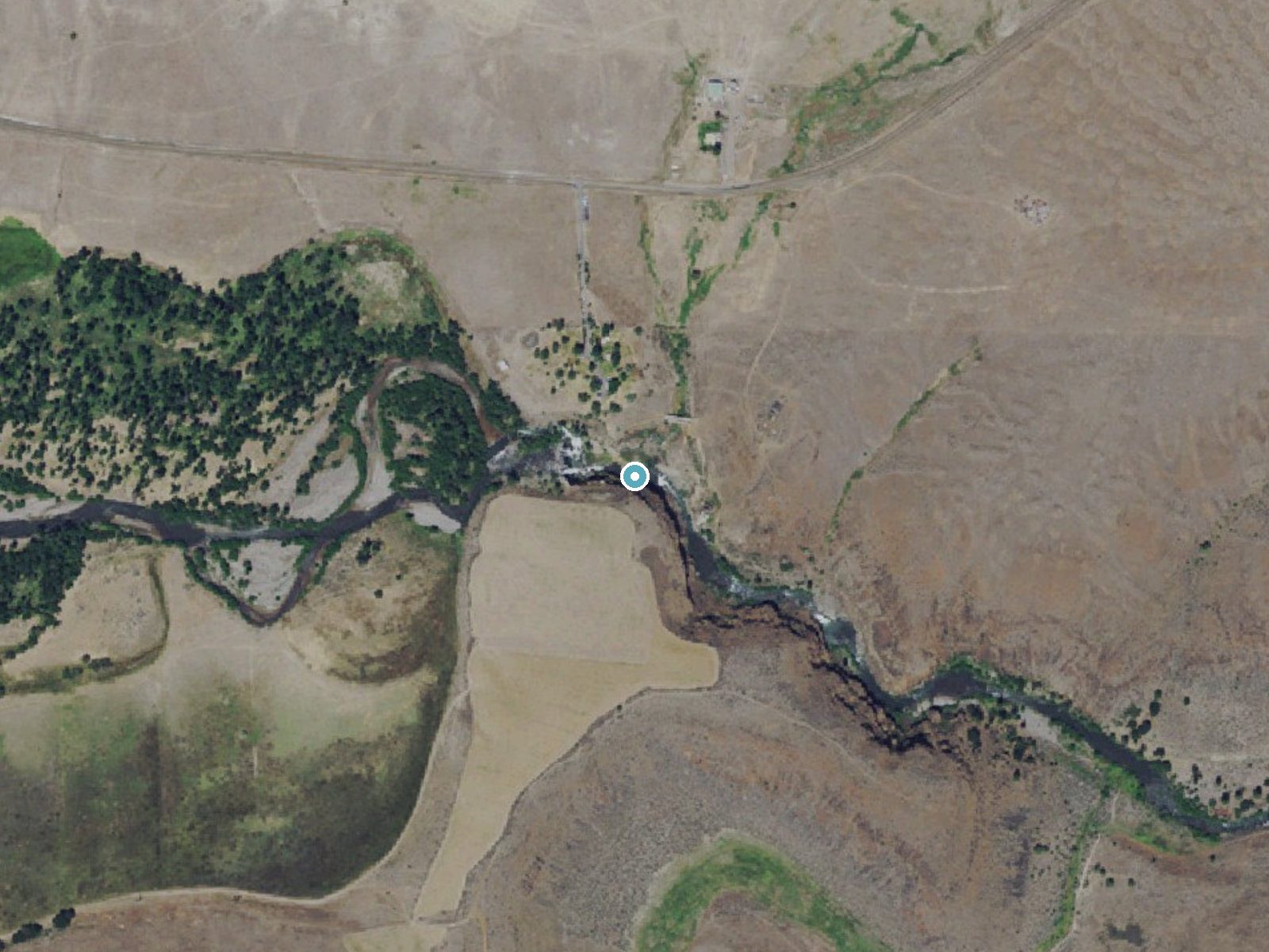
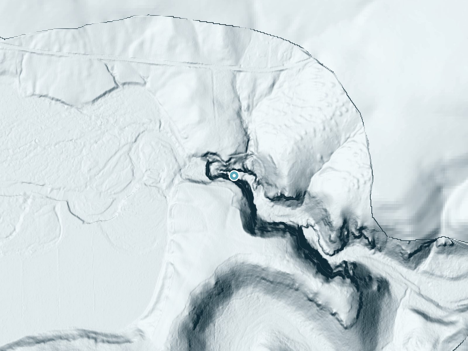
Drag to compare. The dot marks the waterfall. The frame is about a mile across.
- Ground elevation
- 886 feet
- Measured by 3-meter lidar
- Drop at the falls
- About 181 feet
- Change in ground height within ~250 feet of the falls
- Faces
- East
- Catches soft morning light.
A slice through the lidar ground surface, from above the falls to downstream (heading east).
Elevation data: USGS 3D Elevation Program. Aerial imagery: USGS The National Map. Public domain.
Location & Access
Getting There
Celestial Falls is located within White River Falls State Park, approximately 2 hours southeast of Portland, Oregon. Visitors can access the park via Highway 216, with clear signage leading to the parking area.
Get Directions on Google MapsParking
There is a designated parking lot at White River Falls State Park, which provides easy access to the trail leading to Celestial Falls.
Elevation
938 feet above sea level
Coordinates
45.242500° N, -121.096389° W
Land Management
Managed by CITY
Visitor Tips & Gear
Arrive early during peak seasons to secure parking and enjoy the falls without crowds. Wear sturdy shoes if you plan to explore beyond the main viewpoint, as some paths can be slippery. Bring water and sunscreen, especially during summer months.
Where to Stay

Balch Hotel

Steps to Pine Hollow Reservoir: Home w/ Fire Pit!

Cooper Spur Mountain Resort

8 Mile Farm Bed & Breakfast
Browse vacation cabins and private rentals nearby
Unique outdoor stays — tents, yurts, and treehouses
Rent a campervan or RV for your waterfall road trip
Some links are affiliate links. We may earn a commission at no extra cost to you.
Nearby Campground
Twin Springs Campground
6.4 miles away · 0 sites
Wedged between the Lower Deschutes River Back Country Byway and the Deschutes River, Twin Springs Campground offers six individual campsites, each with a picnic table and firering. Bring you own shade: only one campsite has any and what sun protection it does offer is minimal.Know Before You GoTwin Springs Campground is open year-round with limited river access, one vault toilet and garbage service. There are no group-use campsites.No drinking water or utility hookups are available. No reservatio
Book on Recreation.govNearby Hot Springs
Hot springs near Madras, Oregon
Kahneeta Hot Springs
Kahneeta Hot Springs flows at 126°F on Warm Springs Reservation tribal land at 1,450 feet elevation, sitting just 6 meters from...

Springs
These thermal springs emerge at 125°F on sovereign Warm Springs Reservation land in Jefferson County, creating a 72-degree temp...

Swim Warm Springs
Swim Warm Springs emerges at 79°F within Mount Hood National Forest at 4,063 feet elevation, flowing just 6.9 meters from White...
Klickitat Mineral Springs
Klickitat Mineral Springs produces 81-degree water at just 481 feet elevation on state conservation lands, flowing 27.9 degrees...

Mount Hood Fumaroles
Mount Hood Fumaroles vent at 194°F from the flanks of Oregon's highest peak, among the state's most extreme geothermal features...

Collins Hot Springs
Collins Hot Springs emerges at 122 degrees just 127 feet above sea level in the Columbia River Gorge, producing water 68.4 degr...
Looking for a soak after your hike? Explore more hot springs near Madras, Oregon on SoakingSprings.
Explore Oregon springsAdditional Information
Nearby Attractions
White River Falls State Park also features the historic ruins of a hydroelectric power plant, which can be explored along the trail. The Deschutes River and Maupin are nearby for additional outdoor activities.
Wildlife
The area is home to various bird species, deer, and small mammals. Keep an eye out for wildlife while exploring.
Cities near Celestial Falls
Nearby Waterfalls
Writing about Celestial Falls? Embed this waterfall on your site for free.