
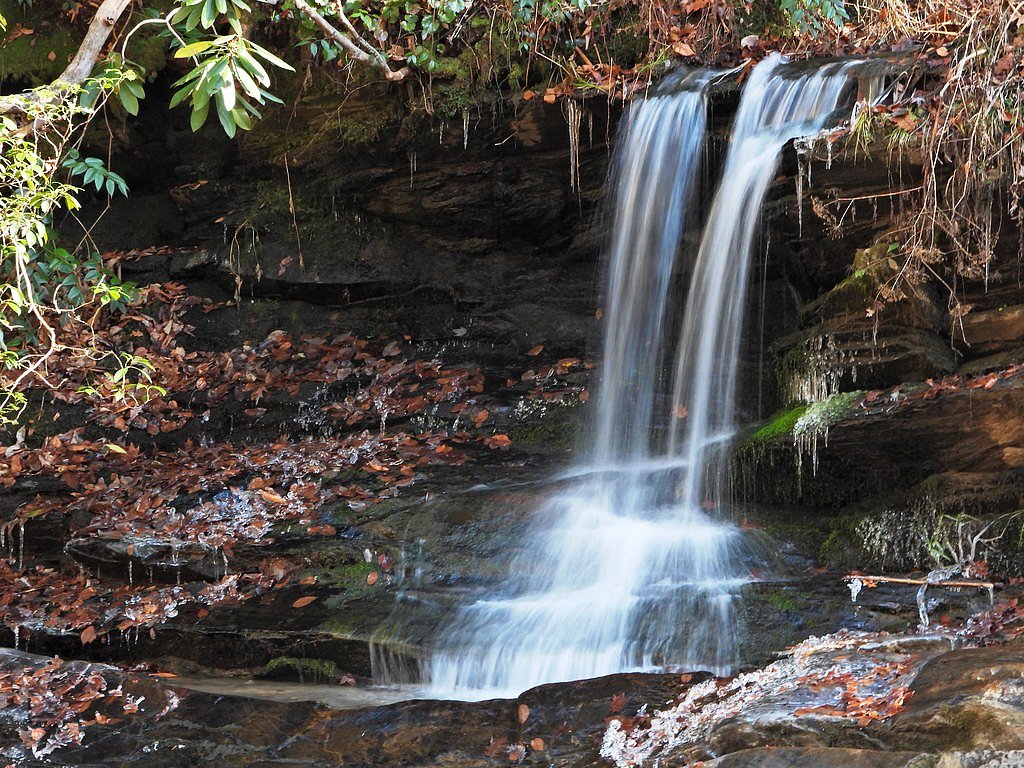
Camp Minnehaha Falls
By Armen Suny · Last verified May 2026
Photo Credits (1)
Difficulty
Moderate
Trail Length
2.4 miles
Trail Type
Out And Back
Elevation Gain
350 ft
About Camp Minnehaha Falls
Camp Minnehaha Falls is a peaceful woodland cascade tucked into North Carolina’s forested landscape, offering a quiet spot to enjoy moving water and shaded surroundings. The falls make for a rewarding short outing and are especially appealing to hikers looking for a mellow day trip rather than a strenuous alpine trek. Approach to the falls is commonly made via a moderate trail: an approximately 2.4‑mile out-and-back with about 350 feet of elevation gain. Note that the waterfall is associated with Camp Minnehaha, so access and parking can be controlled by the camp; visitors should contact the camp ahead of time to confirm public access and any event schedules before planning a visit.
The Setting
Camp Minnehaha Falls sits at 1,696 feet along the Cove Creek, in the hills of North Carolina.
Nearby Falls Worth Visiting
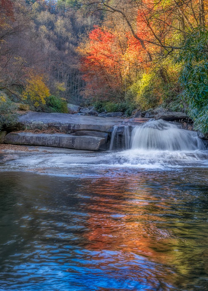
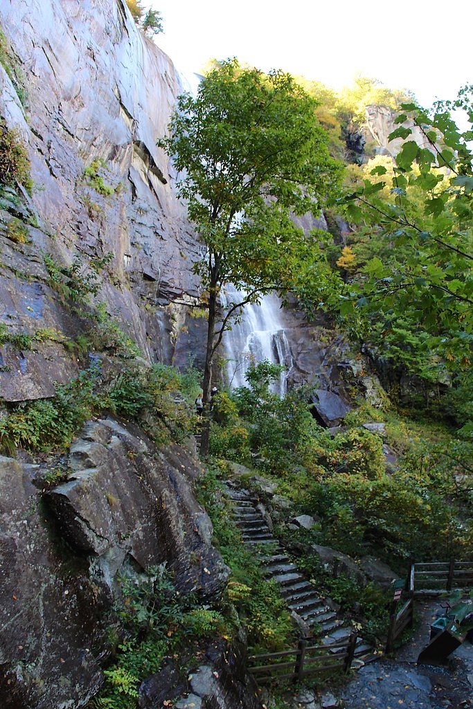
Hickorynut Falls (404 ft) lies 2.6 miles to the southeast. Also nearby: Rainbow Falls (150 ft, 1.9 mi).
Trail & Hike Details
The Approach
The moderate 2.4-mile out and back trail gains 350 feet of elevation on the way to the falls.
Trail Description
Trail type: out-and-back. Length: ~2.4 miles (round-trip). Elevation gain: ~350 feet. Difficulty: moderate. Official USFS trail number, surface, grade, and trail class data are not available for this route; the approach is a forested hiking route that may include uneven, unpaved footing. Because the falls are on camp property, confirm current access, parking, and any seasonal restrictions with the camp before hiking.
What to Expect
Visitors can expect a peaceful and scenic waterfall surrounded by forested areas. However, access may be restricted, and the trail conditions are not well-documented.
Accessibility
The trail is not wheelchair accessible. Uneven terrain and elevation changes require steady footing.
Frequently Asked Questions
🐶 Are Dogs Allowed at Camp Minnehaha Falls?
❌ Dogs are not allowed
Are There Any Fees or Permits Required?
🆖 No fees required
🏊 Is There Swimming at Camp Minnehaha Falls?
❌ Swimming is not allowed
When to Visit
Spring and fall are typically the best times to visit, as the weather is mild, and the waterfall flow is often stronger due to seasonal rainfall.
Seasonal Access
The best time to visit is Spring, Summer, and Fall. Winter access may be limited.
Safety Information
Trail conditions and access policies are unclear, so visitors should exercise caution and confirm details with the camp. Be prepared for uneven terrain and potential wildlife encounters.
Current Water Conditions
45 ft³/s
Current discharge — how much water is flowing
Much lower than usual for this time of year
Based on 75 years of record
1.97 ft
Water depth at gauge
7-Day Discharge Trend
What does this mean for your visit?
Flow is well below normal for this time of year, so the waterfall may be a trickle.
About This Gauge
This gauge is on a nearby waterway and may not reflect exact conditions at the falls.
7-Day Flow Outlook
Based on the USGS gauge COVE CREEK NEAR LAKE LURE, NC (16 km away).
Today
Moderate
52 cfs
6/10Tomorrow
Moderate
62 cfs
6/10Wed
Moderate
59 cfs
6/10Thu
Moderate
60 cfs
6/10Fri
Moderate
60 cfs
6/10Sat
Moderate
60 cfs
6/10Sun
Moderate
56 cfs
6/10Best window: Today — moderate flow, patchy fog then chance showers and thunderstorms (trip score 6/10).
Best time of year: this gauge typically runs highest from mid February to early May, peaking in April.
How we calculate this
This is a transparent outlook, not a precise forecast. We take the waterfall's current flow strength (how it ranks against its historical normal for today, from the nearest USGS stream gauge), carry that ranking forward along the gauge's seasonal curve, and nudge it for forecast rain. Confidence is highest for the next day or two and falls further out. Always check official conditions and your own judgment before visiting — high flows can be dangerous.
Know when to go.
Get a free email alert when waterfalls near Chimney Rock Village hit peak flow. We only send when conditions are worth the trip — no weekly newsletters, no spam.
Weather Forecast
Location & Access
Getting There
Camp Minnehaha Falls is located within a private camp property, and access may be restricted to campers or special events. Visitors should confirm access policies before planning a visit.
Get Directions on Google MapsParking
Parking availability is unclear, but it may be limited to designated areas within the camp property.
Hours
Elevation
1,696 feet above sea level
Coordinates
35.464194° N, -82.285004° W
Visitor Tips & Gear
Contact the camp in advance to confirm access policies and trail conditions. Wear sturdy footwear and bring water, as trail details are unclear.
As an Amazon Associate, we earn from qualifying purchases.
With 2.4 miles and 350 ft of elevation gain, sturdy boots and trekking poles will help on this moderate trail. Sun exposure on the trail makes good sun protection a must in summer.

Polarized Sunglasses (Knockaround)
Cuts glare off the water so you actually see the falls — and your photos turn out better too.

Columbia Watertight II Rain Jacket
Packs into its own pocket, seam-sealed, and keeps you dry from spray and surprise rain.

Earth Pak Waterproof Dry Bag
Keeps your phone and gear dry when waterfall mist soaks everything else.

Waterproof Phone Pouch (AiRunTech)
Cheap insurance — take photos right next to the falls without killing your phone.

Timberland Euro Sprint Mid Waterproof
Trusted waterproof boot with premium leather and grippy rubber sole — reliable on rocky, wet trails.

TrailBuddy Trekking Poles
Lightweight aluminum, cork grips, and flip-locks that actually hold — a best-seller for good reason.
Where to Stay

1850s Settlers Cabin at Wethero Ridge

Lake Lure Inn and Spa

Hampton Inn Black Mountain

The Farmhouse at Wolfehaven
Browse vacation cabins and private rentals nearby
Unique outdoor stays — tents, yurts, and treehouses
Rent a campervan or RV for your waterfall road trip
Some links are affiliate links. We may earn a commission at no extra cost to you.
Nearby Campground
CURTIS CREEK CAMPGROUND (NC)
15.4 miles away · 24 sites
Overview Curtis Creek Campground is nestled in the mountains at the base of the Blue Ridge just minutes from the quaint town of Old Fort and less than an hour from the popular city of Asheville. Located in the first tract of National Forest land in the eastern US at the site of an old Civilian Conservation Corp (CCC) camp, the campground is surrounded by old growth forests and roaring trout streams. The gravel road through the campground ascends to the Blue Ridge Parkway, providing easy access to
Book on Recreation.govNearby Hot Springs
Hot springs near Chimney Rock Village, North Carolina

Looking for a soak after your hike? Explore more hot springs near Chimney Rock Village, North Carolina on SoakingSprings.
Explore North Carolina springsAdditional Information
Nearby Attractions
The surrounding area of North Carolina offers various hiking trails, waterfalls, and outdoor activities.
Wildlife
The area may feature common North Carolina wildlife such as birds, deer, and small mammals.
Cities near Camp Minnehaha Falls
Nearby Waterfalls
Writing about Camp Minnehaha Falls? Embed this waterfall on your site for free.