
Photo Credits (5)
Difficulty
Easy
Trail Length
1.5 miles
Trail Type
Out And Back
Elevation Gain
200 ft
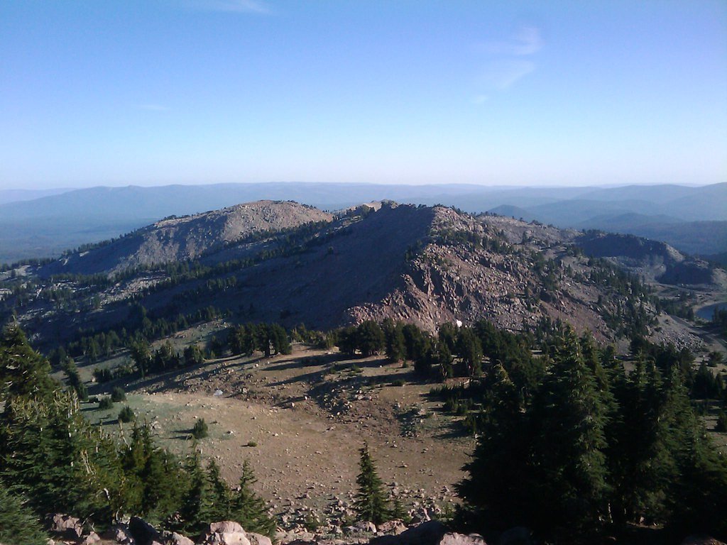
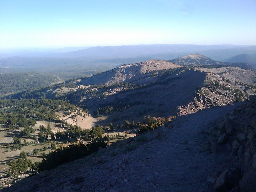
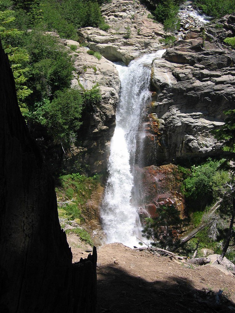
About Bluff Falls
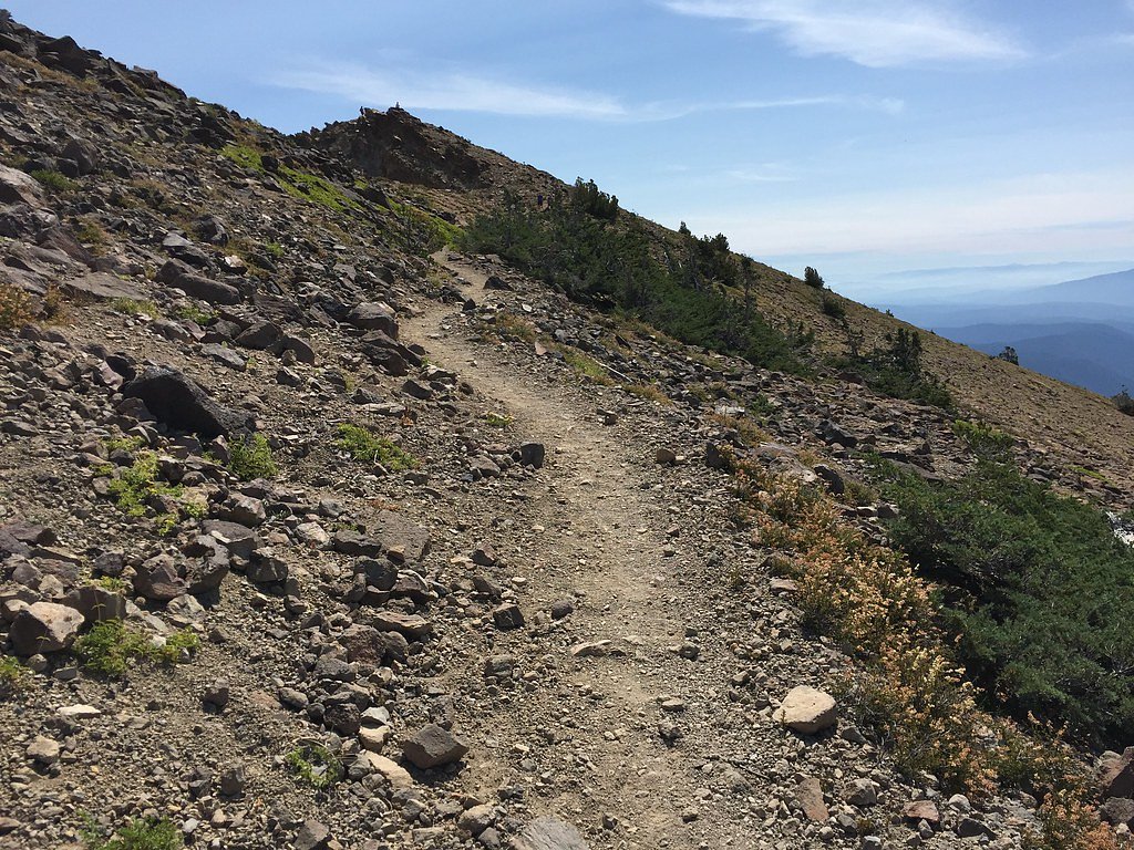
Bluff Falls is a peaceful, picture-postcard cascade tucked into the Lassen area and managed by the U.S. Forest Service. Set within the administrative bounds of Lassen National Forest and associated with Lassen Volcanic National Park, the falls offer a quiet stop for hikers looking to enjoy a short nature outing in a forested setting. Its tranquil pool and falling water make it a favorite photo spot and a refreshing waypoint on a longer day on the land. The most direct approach to Bluff Falls follows the USFS route MCGOWAN CROSS-COUNTRY SKI TRAI (Trail #SNO-720). The outing to the falls is commonly done as an easy 1.5-mile out-and-back with about 200 feet of elevation gain, making it accessible to most visitors while still feeling like a true little adventure. The nearest developed campground is Battle Creek Campground, roughly 10.82 km away.
The Setting
Bluff Falls sits at 6,529 feet within Lassen Volcanic National Park, in the high mountains of California.
Nearby Falls Worth Visiting
Mill Creek Falls (75 ft) lies 2.1 miles to the northeast. Also nearby: Kings Creek Falls (30 ft, 5.8 mi).
Trail & Hike Details
The Approach
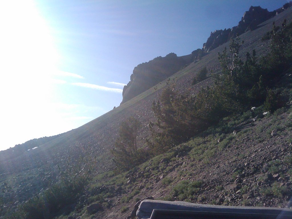
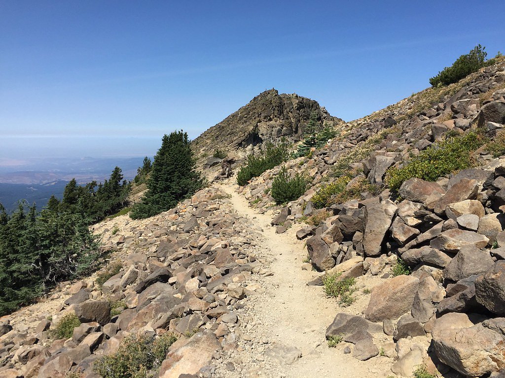
The easy hike follows Mcgowan Cross Country Ski Trai (#SNO-720), a 1.5-mile out-and-back trail over natural surface. Expect 200 feet of elevation gain with grades of 12-20%. The trail is developed (Class 3).
USFS Trail
MCGOWAN CROSS-COUNTRY SKI TRAI #SNO-720
Trail Class
Developed
Surface
Avg Grade
USFS Segment
9.47 miTrail Description
The route to Bluff Falls is typically hiked as a 1.5-mile out-and-back with about 200 feet of elevation gain and an overall easy difficulty rating. The approach uses the USFS-designated MCGOWAN CROSS-COUNTRY SKI TRAI (Trail #SNO-720); USFS records list this route with GIS miles 9.47 and classify it as Class 3. Surface is listed as NATIVE MATERIAL and the trail features typical grades of 12–20%, so expect natural dirt and rock tread and some moderately steep pitches. Managed by the U.S. Forest Service within Lassen National Forest, the trail is suitable for most hikers but these grade and surface details are worth noting when planning your visit.
What to Expect
Dogs are welcome.
Accessibility
The trail is not wheelchair accessible. Uneven terrain and elevation changes require steady footing.
Frequently Asked Questions
🐶 Are Dogs Allowed at Bluff Falls?
✅ Dogs are allowed
Are There Any Fees or Permits Required?
🆖 No fees required
🏊 Is There Swimming at Bluff Falls?
❌ Swimming is not allowed
When to Visit
The best time to visit Bluff Falls is during the spring and early summer when the waterfall is at its fullest. Fall is also a good time to visit for cooler temperatures and fewer crowds.
Seasonal Access
The best time to visit is Spring, Summer, and Fall. Access roads and trails may close during winter due to snow. Check with Lassen Volcanic National Park for current conditions.
Safety Information
Visitors should exercise caution near the waterfall as rocks can be slippery. Be aware of wildlife and carry bear spray if hiking in the area. Check weather conditions before visiting, as the trail may be hazardous after rain.
Know when to go.
Get a free email alert when waterfalls near Mineral hit peak flow. We only send when conditions are worth the trip — no weekly newsletters, no spam.
Weather Forecast
Location & Access
Getting There
Bluff Falls is located off Highway 180 near Kings Canyon National Park. The trailhead is accessible via a short drive from the main road, but specific directions may vary depending on the season and road conditions.
Get Directions on Google MapsParking
Parking is available near the trailhead, but spaces may be limited during peak seasons. Visitors are advised to arrive early to secure a spot.
Elevation
6,529 feet above sea level
Coordinates
40.413492° N, -121.533036° W
Land Management
Managed by USFS
Visitor Tips & Gear
Wear sturdy shoes as the trail may have uneven sections. Bring water and snacks, especially during warmer months. Arrive early to avoid crowds and secure parking. Check weather conditions before visiting, as the trail may be slippery after rain.
This trail sits at 6,529 ft above sea level
Elevated TrailUV radiation is roughly 26% stronger at this elevation than at sea level, and the dry air accelerates dehydration. Extra sun protection and fluids go a long way.
As an Amazon Associate, we earn from qualifying purchases.

Coppertone Sport SPF 50 Sunscreen
UV intensity jumps ~4% per 1,000 ft — at this elevation you can burn in half the time.

Sun Bum SPF 30 Lip Balm (3-Pack)
Lips have almost no natural UV protection and burn fast in thin, dry mountain air.

Liquid I.V. Electrolyte Packets
You lose moisture ~2x faster at elevation — electrolytes help you absorb water efficiently.

ROCKNIGHT Polarized UV400 Sunglasses
High-altitude glare off rock and water is intense — UV400 lenses block 99%+ of UVA/UVB.
As an Amazon Associate, we earn from qualifying purchases.
This easy 1.5 miles hike is straightforward — comfortable trail shoes and plenty of water should do. Sun exposure on the trail makes good sun protection a must in summer.

Polarized Sunglasses (Knockaround)
Cuts glare off the water so you actually see the falls — and your photos turn out better too.

Columbia Watertight II Rain Jacket
Packs into its own pocket, seam-sealed, and keeps you dry from spray and surprise rain.

Earth Pak Waterproof Dry Bag
Keeps your phone and gear dry when waterfall mist soaks everything else.

Waterproof Phone Pouch (AiRunTech)
Cheap insurance — take photos right next to the falls without killing your phone.

JOBY GorillaPod Starter Kit
Wraps around railings and rocks for long-exposure waterfall shots — no flat surface needed.

Osprey Daylite Daypack
Light, organized, and just the right size for a day hike — fits water, snacks, and layers.
Where to Stay

Village at Childs Meadow

Antlers Inn

Drakesbad Guest Ranch

The Black Forest Lodge
Browse vacation cabins and private rentals nearby
Unique outdoor stays — tents, yurts, and treehouses
Rent a campervan or RV for your waterfall road trip
Some links are affiliate links. We may earn a commission at no extra cost to you.
Nearby Campground
Battle Creek Campground
6.7 miles away · 0 sites
Battle Creek Campground is a developed campground with 50 designated sites and a maximum of 8 people per site. Grills and tables are provided. Battle Creek Campground is close to Lassen Volcanic National Park which offers many diverse hiking trails and other outdoor amenities. Battle Creek Campground is located on Highway 36 approximately 2 miles west of Mineral, CA, and 38 miles east of Red Bluff, CA.
Book on Recreation.govNearby Hot Springs
Hot springs near Mineral, California

Sulphur Works, Tophet Hot Springs
Sulphur Works and Tophet Hot Springs emerge at a dramatic 199°F at 6,932 feet elevation within Lassen Volcanic National Park, o...

Growler Hot Spring
Growler Hot Spring discharges at a spectacular 203 degrees Fahrenheit, the highest temperature in this survey and reflecting ex...
Morgan Hot Spring
Morgan Hot Spring erupts at an extreme 205°F in the northern Sierra Nevada, far too hot for human immersion but visually dramat...

Mill Creek Springs
Mill Creek Springs flows at a spectacular 150°F within Lassen Volcanic National Park, making it one of California's hottest spr...

Bumpass Hell
Bumpass Hell reaches a boiling 199°F at Lassen Volcanic National Park's 8,017-foot summit zone, creating the park's largest and...

Devils Kitchen
Devils Kitchen erupts at 203°F within Lassen Volcanic National Park, requiring a challenging 1.6-mile hike to reach one of the ...
Looking for a soak after your hike? Explore more hot springs near Mineral, California on SoakingSprings.
Explore California springsAdditional Information
Nearby Attractions
Kings Canyon National Park, Sequoia National Forest, and other nearby hiking trails.
Wildlife
The area is home to a variety of wildlife, including deer, squirrels, and various bird species. Visitors should be cautious of bears and other larger animals in the region.
Cities near Bluff Falls
Nearby Waterfalls
Writing about Bluff Falls? Embed this waterfall on your site for free.