Annie Falls
Oregon • Crater Lake National Park
By Armen Suny · Last verified Sep 2026
LiDAR & 3D terrain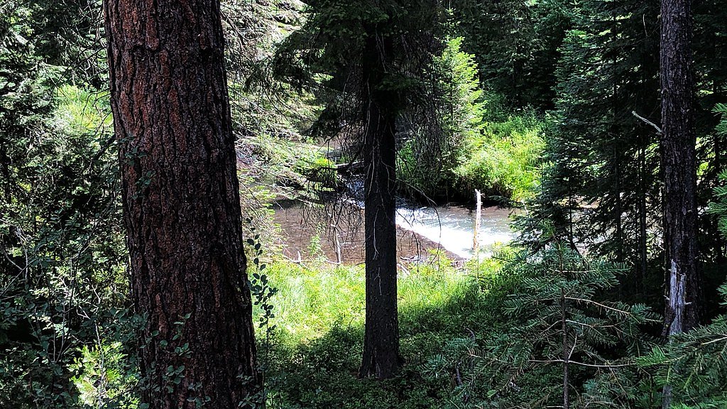
Photo Credits (5)
About Annie Falls
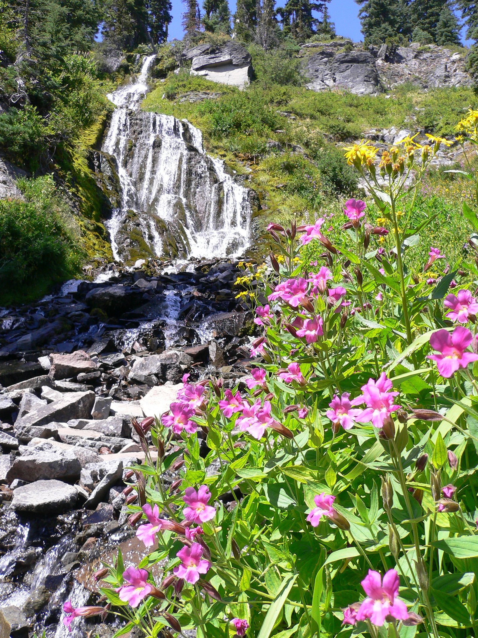
Annie Falls is a picturesque waterfall located in Crater Lake National Park, Oregon. It is a lesser-known waterfall in the park, offering a serene and scenic experience for visitors. The waterfall cascades through a narrow gorge surrounded by lush vegetation.
The Setting
Annie Falls sits at 5,108 feet within Crater Lake National Park, fed by the Scott Creek, in the high mountains of Oregon.
Trail & Hike Details
Trail Description
Details about the specific trail to Annie Falls are limited. It may be accessible via a short walk or viewpoint, but further research or consultation with park staff is recommended.
What to Expect
Visitors can expect a tranquil waterfall surrounded by natural beauty. The falls are located in a forested area, offering opportunities for photography and relaxation.
Accessibility
Accessibility information for Annie Falls is limited. Visitors with mobility concerns should consult park staff for guidance.
Frequently Asked Questions
🐶 Are Dogs Allowed at Annie Falls?
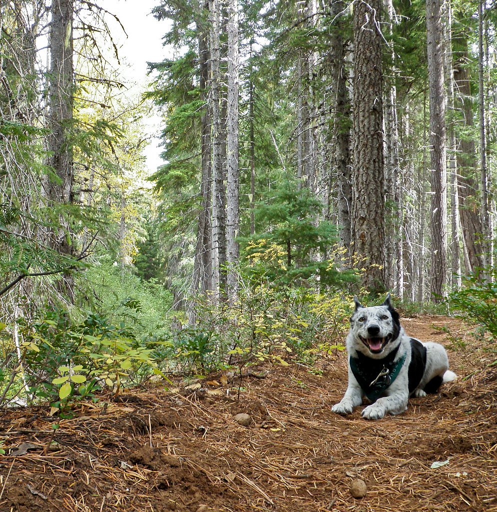
❌ Dogs are not allowed
Are There Any Fees or Permits Required?
🤑 Fee: $30.00
🏊 Is There Swimming at Annie Falls?
❌ Swimming is not allowed
When to Visit
Spring and early summer are ideal times to visit, as the waterfall flow is typically strongest due to snowmelt.
Seasonal Access
The best time to visit is Spring, Summer, and Fall. Access roads and trails may close during winter due to snow. Check with Crater Lake National Park for current conditions.
Safety Information
Trail conditions may vary, and some areas could be slippery or uneven. Visitors should exercise caution and stay on designated paths. Winter snow and ice may limit access.
Current Water Conditions
2 ft³/s
Current discharge — how much water is flowing
Higher than usual for this time of year
Based on 1 years of record
20.49 ft
Water depth at gauge
52°F
ColdBracing — limit time in water
7-Day Discharge Trend
What does this mean for your visit?
The water is flowing higher than usual for this time of year. Water temperature is a bracing 52 degrees F, limit your time in the water.
About This Gauge
This gauge is on a nearby waterway and may not reflect exact conditions at the falls.
7-Day Flow Outlook
Based on the USGS gauge SCOTT CREEK BLW SAND CREEK CANAL NR CHINCHALO, OR (21 km away).
Today
Strong
2 cfs
10/10Tomorrow
Strong
2 cfs
10/10Wed
Strong
2 cfs
10/10Thu
Strong
2 cfs
10/10Fri
Strong
2 cfs
10/10Sat
Strong
2 cfs
10/10Sun
Strong
2 cfs
10/10Best window: Today — strong flow, sunny (trip score 10/10).
How we calculate this
This is a transparent outlook, not a precise forecast. We take the waterfall's current flow strength (how it ranks against its historical normal for today, from the nearest USGS stream gauge), carry that ranking forward along the gauge's seasonal curve, and nudge it for forecast rain. Confidence is highest for the next day or two and falls further out. Always check official conditions and your own judgment before visiting — high flows can be dangerous.
Know when to go.
Get a free email alert when waterfalls near Fort Klamath hit peak flow. We only send when conditions are worth the trip — no weekly newsletters, no spam.
Weather Forecast
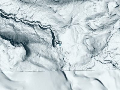
The Terrain, Seen by LiDAR
Aircraft-mounted lasers measured this ground to within inches. Trees and buildings are digitally stripped away, leaving the bare shape of the land the water has carved.
The bare-earth surface loses about 193 feet through the falls, but gradually, the profile of a cascade rather than a plunge. The ground at the falls is roughly 5,107 feet above sea level.
The ground changes about 36 feet in the 500 feet above the falls and 74 feet in the 500 feet below. The falls face southeast and sit in full sun for most of the day, best photographed early or late.
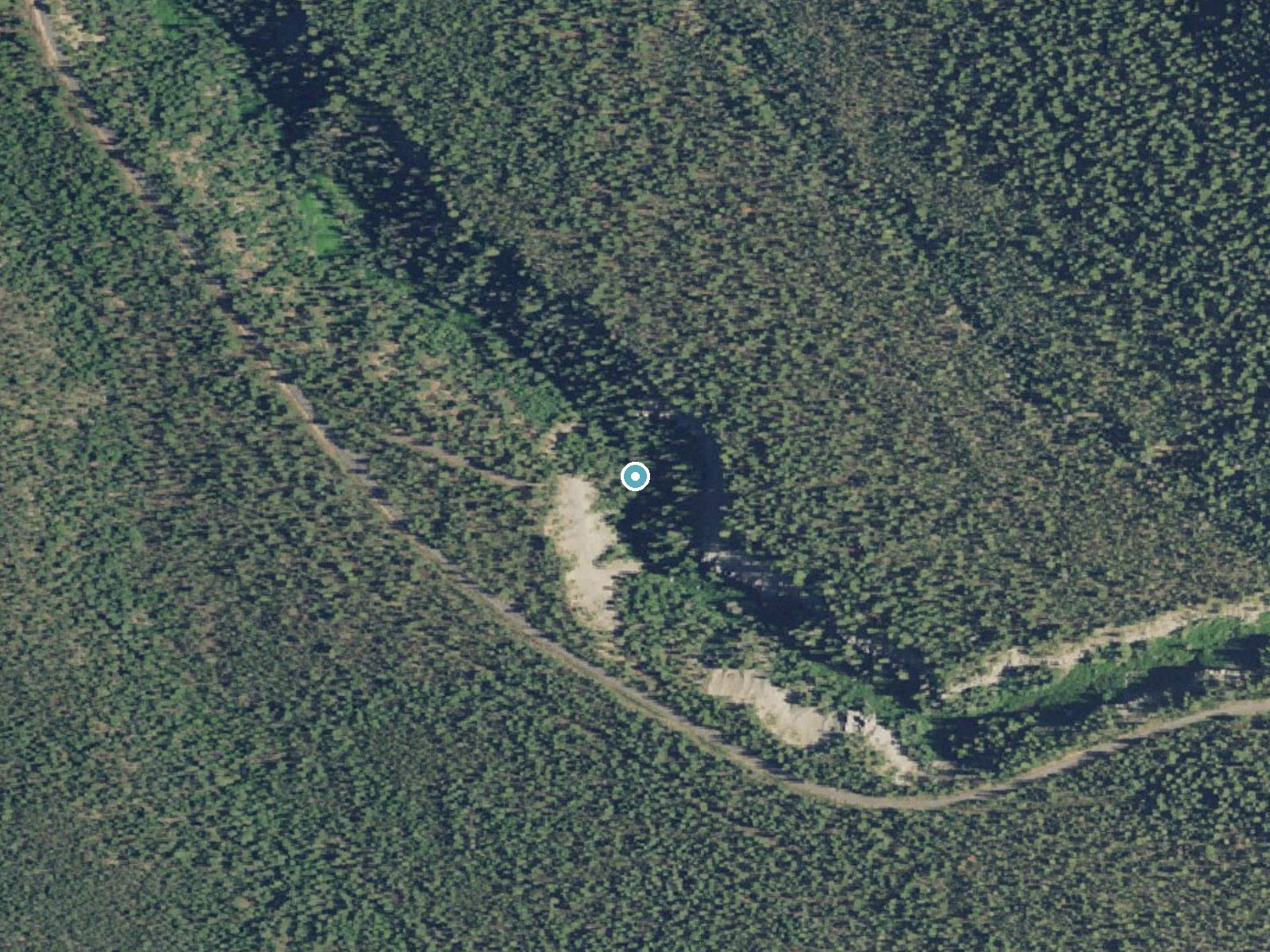
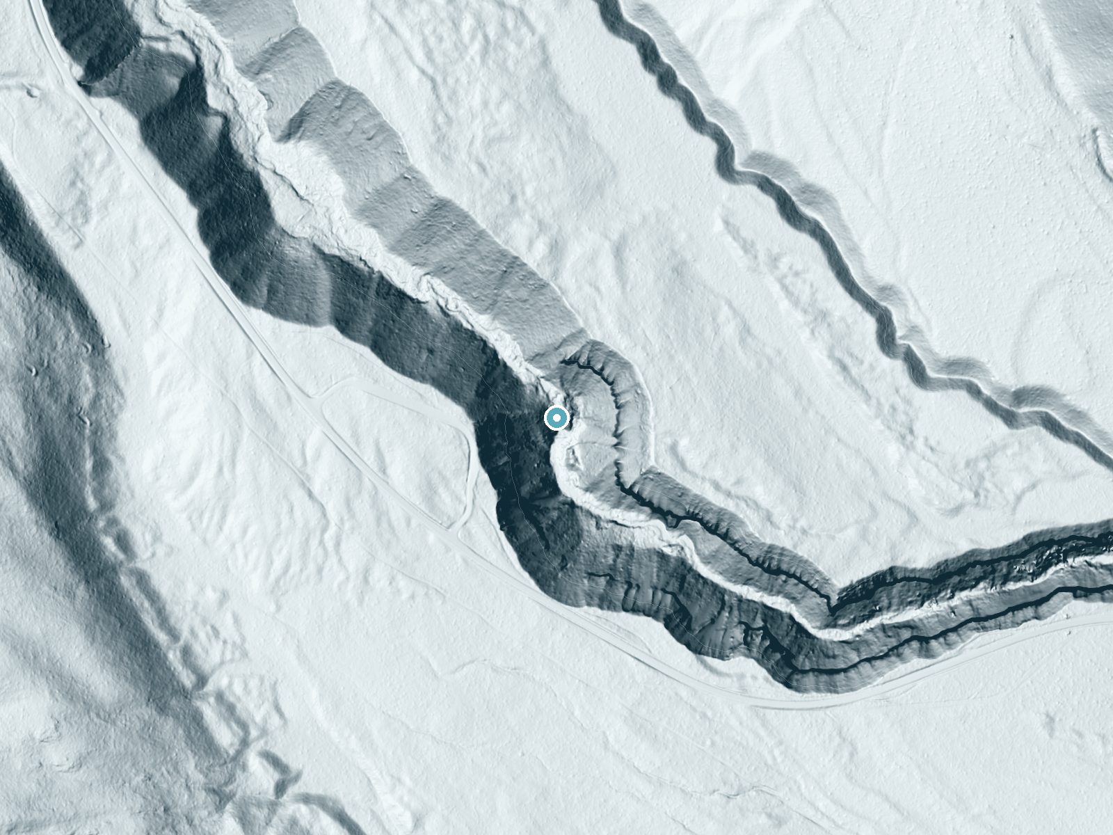
Drag to compare. The dot marks the waterfall. The frame is about a mile across.
- Ground elevation
- 5,107 feet
- Measured by 1-meter lidar
- Drop at the falls
- About 193 feet
- Change in ground height within ~250 feet of the falls
- Faces
- Southeast
- Sunlit most of the day. Go early or late for softer light.
A slice through the lidar ground surface, from above the falls to downstream (heading southeast).
Elevation data: USGS 3D Elevation Program. Aerial imagery: USGS The National Map. Public domain.
Location & Access
Getting There
Annie Falls is located within Crater Lake National Park, near the Annie Creek Canyon area. Visitors can access the falls via the park's main road system. Specific directions to the viewing area or trailhead may vary, so consulting a park map or ranger station is recommended.
Get Directions on Google MapsParking
Parking is available at designated areas within Crater Lake National Park. Visitors should check for signage indicating parking locations near Annie Falls.
Elevation
5,108 feet above sea level
Coordinates
42.817525° N, -122.114049° W
Land Management
Managed by NPS
Visitor Tips & Gear
Check with Crater Lake National Park staff for the most up-to-date information on trail conditions and accessibility. Bring appropriate footwear and be prepared for changing weather conditions.
Where to Stay

Aspen Inn
Cozy Chiloquin Retreat < 30 Mi to Crater Lake!
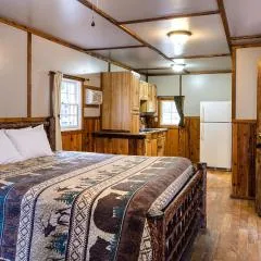
Union Creek Resort
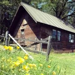
Rustic Cabin Rental in a Wild Meadow near Crater Lake National Park, Oregon
Browse vacation cabins and private rentals nearby
Unique outdoor stays — tents, yurts, and treehouses
Rent a campervan or RV for your waterfall road trip
Some links are affiliate links. We may earn a commission at no extra cost to you.
Nearby Campground
Crater Lake Lodge
7 miles away · 0 sites
The Crater Lake Lodge, built in 1915 and a member of Historic Hotels of America® since 2012 was listed in the National Register of Historic Places in 1981. Historic Hotels of America is the official program of the National Trust for Historic Preservation® for recognizing and celebrating the finest historic hotels across America. A grand northwest lodge, the historic 71-guestroom Crater Lake Lodge originally opened in 1915 on the edge of one of the country's crown jewels-Crater Lake. No place else
Book on Recreation.govNearby Hot Springs
Hot springs near Running Y Ranch, Oregon

Annie Spring
Annie Spring flows at 77°F within Crater Lake National Park at 5,983 feet elevation, discharging 1.71 cubic feet per second at ...
Eagle Point Spring
Eagle Point Spring flows at 95°F in Klamath County, emerging 45.6°F above the 49.4°F ambient temperature in a climate receiving...

Umpqua Hot Springs
Umpqua Hot Springs flows at 117°F from multiple geothermal sources along the North Umpqua River in Lane County, forming cascadi...
Howard Holiday
Howard Holiday flows at 77°F in Klamath County near Klamath Falls, emerging at 4,107 feet elevation approximately 157 meters fr...
Hardboard Spring
Hardboard Spring flows at 70°F from roadside terrain 36 meters from the nearest road in Klamath County near Klamath Falls, emer...
Olene Gap Hot Springs
Olene Gap Hot Springs emerges at 165°F in Klamath County's volcanic landscape, flowing at 4,116 feet elevation and running 116 ...
Looking for a soak after your hike? Explore more hot springs near Running Y Ranch, Oregon on SoakingSprings.
Explore Oregon springsAdditional Information
Nearby Attractions
Crater Lake, Rim Drive, Cleetwood Cove Trail, and other waterfalls within the park.
Wildlife
The area around Annie Falls is home to various wildlife, including deer, birds, and small mammals. Visitors should maintain a safe distance from all wildlife.
Cities near Annie Falls
Nearby Waterfalls
 LiDAR
LiDAR
Writing about Annie Falls? Embed this waterfall on your site for free.