Waterfall Hikes Near Thatcher, AZ
within 50 miles
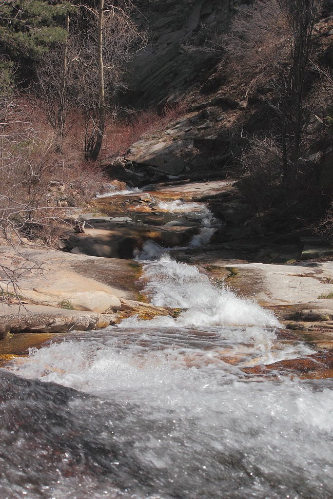
Looking for the best waterfalls to hike near Thatcher? There are 3 waterfall hiking trails within a 50-mile radius of Thatcher. These trails range from hard to moderate difficulty, providing options for both casual hikers and experienced adventurers looking to explore the region's natural beauty.
Map of Waterfalls Near Thatcher
Today's Conditions
Live data from USGS gauges & National Weather Service
Water Flow
3 waterfalls near Thatcher have live flow data today
Updated about 2 hours ago via USGS
Best Day to Hike
Today
Sunny · 96°F
Know when to go.
Get a free email alert when waterfalls near Thatcher hit peak flow. We only send when conditions are worth the trip — no weekly newsletters, no spam.
Find waterfalls to hike near Thatcher
Have your own travel site? Embed these waterfalls for free.
All 3 Waterfalls Near Thatcher
Frequently Asked Questions About Waterfalls Near Thatcher
What is the shortest waterfall hike near Thatcher?
The shortest waterfall hike near Thatcher is Ash Creek Falls at 2.4 miles round trip.
Can I camp near the waterfalls around Thatcher?
Yes, 3 waterfalls near Thatcher have nearby campgrounds.
What is the closest waterfall to Thatcher?
The closest waterfall to Thatcher is Ash Creek Falls, approximately 10.7 miles away.
🏙️ Other Cities Near Thatcher With Waterfalls
Nearby Hot Springs
Hot springs near Thatcher, Arizona
Roper Lake State Park Hot Spring
Roper Lake State Park Hot Spring provides developed thermal water recreation at 72°F within a popular state park near Safford, ...
Grapevine Spring
Flowing 26 degrees above ambient temperatures, Grapevine Spring emerges at 91°F from Arizona State Trust Land near Pima in Grah...

Indian Hot Springs
Indian Hot Springs (also called Holladay Hot Springs) flows at 118°F, emerging just 165 feet from Hot Springs Road in Graham Co...
Warm Spring
Warm Spring flows at 90°F in Graham County near Bylas, emerging 21 degrees above the region's 69°F average on Bureau of Land Ma...
Warm Spring
Warm Spring flows at 73°F near Morenci in Greenlee County, running 12 degrees above ambient at 3,620 feet elevation in BLM cany...
Eagle Creek Hot Springs
Eagle Creek Hot Springs flows at 97 degrees Fahrenheit near Morenci in Greenlee County at 3,620 feet elevation, emerging approx...
Looking for a soak after your hike? Explore more hot springs near Thatcher, Arizona on SoakingSprings.
Explore Arizona springsWhere to Stay
Browse vacation cabins and private rentals nearby
Unique outdoor stays — tents, yurts, and treehouses
Rent a campervan or RV for your waterfall road trip
Some links are affiliate links. We may earn a commission at no extra cost to you.