Watt Creek Falls
By Armen Suny · Last verified Jun 2026
Difficulty
Moderate
Trail Length
4.2 km
Trail Type
Out And Back
Elevation Gain
217 m
About Watt Creek Falls
Watt Creek Falls is a small, forested cascade on Watt Creek in the Fraser Valley region of British Columbia. The falls sit near the coordinates 49.0261, -122.0009, roughly 9–10 miles from the towns of Chilliwack, Maple Falls and Glacier. It appears to be a modest, multi-step cascade set in a wooded, valley setting rather than a large plunge waterfall. Access information and trail infrastructure are limited; the site may be reached via forest/secondary roads with a short unmaintained approach or bushwhack in from a nearby access point.
The Setting
Watt Creek Falls sits at 192 metres within CULTUS LAKE PARK, in the foothills of British Columbia.
Why This Waterfall Exists
Watt Creek Falls flows over Cultus Formation, a layered sedimentary rock layer deposited about 175-237 million years ago. These soft rocks erode readily, allowing the stream to carve a vertical drop into the landscape.
Nearby Falls Worth Visiting
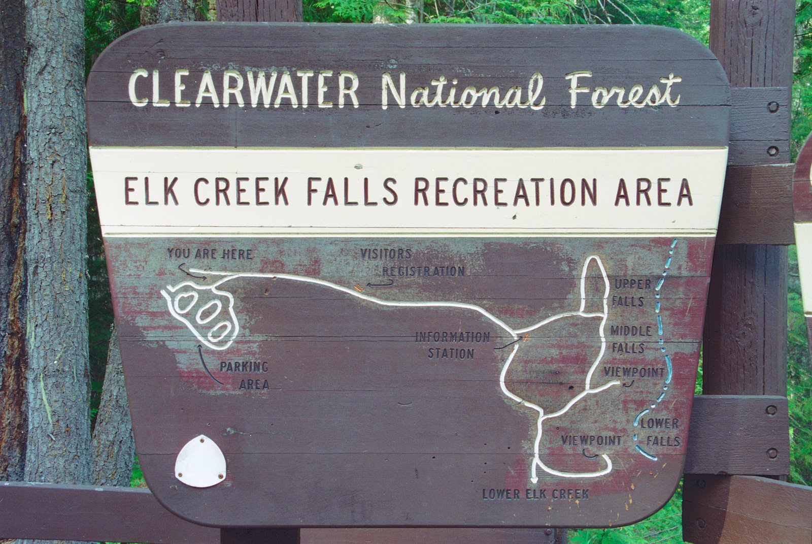
Elk Creek Falls (100 m) lies 18.7 kilometres to the northeast. Also nearby: Stapley Creek Falls (50 m, 16.1 km) and McKay Creek Falls (30 m, 13.8 km).
Trail & Hike Details
The Approach
The moderate 4.2-km out-and-back trail gains 217 metres of elevation on the way to the falls.
Trail Description
There does not appear to be a maintained, waymarked trail reported in major trail databases for Watt Creek Falls. Expect an unmaintained approach that may include short steep sections, uneven footing, and stream crossings. Navigating through forested terrain and down to creek level may require route-finding and basic scrambling. Because official trail information is scarce, plan conservatively and be prepared to turn back if conditions are uncertain.
What to Expect
A small, wooded waterfall in a valley setting with typical coastal-British-Columbia temperate rainforest vegetation (ferns, moss-covered rocks, conifers). Flow is seasonal, higher during spring snowmelt and after heavy rainfall, lower in late summer. The creek banks can be steep and slippery; expect limited viewpoints and possibly close-up access only by scrambling over rocks and roots. Cell coverage may be spotty in the valley.
Accessibility
The trail is not wheelchair accessible. Uneven terrain and elevation changes require steady footing.
Frequently Asked Questions
🐶 Are Dogs Allowed at Watt Creek Falls?
❌ Dogs are not allowed
Are There Any Fees or Permits Required?
🆖 No fees required
🏊 Is There Swimming at Watt Creek Falls?
❌ Swimming is not allowed
When to Visit
Late spring to early summer for the fullest flows from snowmelt; early fall for lower water but better weather and fall color. Winter and early spring may present icy, muddy, or hazardous conditions and unpredictable road closures.
Seasonal Access
The best time to visit is Spring, Summer, and Fall. Winter access may be limited. Check with the managing park or local authority for current conditions.
Safety Information
Hazards may include slippery rocks and banks, steep or loose terrain, sudden changes in water flow after rain, cold water temperatures, limited or no cell service, and active logging or forest operations on access roads. Wear appropriate footwear, avoid cliff edges, and do not attempt risky approaches alone. Check local conditions and forest service notices before traveling.
Current Water Conditions
11.1 m³/s
Current discharge — how much water is flowing
Much lower than usual for this time of year
Based on 91 years of record
1.76 m
Water depth at gauge
7-Day Discharge Trend
What does this mean for your visit?
Flow is well below normal for this time of year, so the waterfall may be a trickle.
About This Gauge
This gauge is on a nearby waterway and may not reflect exact conditions at the falls.
7-Day Flow Outlook
Based on the WSC gauge CHILLIWACK RIVER AT VEDDER CROSSING (8 km away).
Today
Barely Flowing
11 m³/s
5/10Tomorrow
Barely Flowing
11 m³/s
4/10Tue
Barely Flowing
11 m³/s
4/10Wed
Barely Flowing
11 m³/s
4/10Thu
Barely Flowing
10 m³/s
4/10Fri
Barely Flowing
9.9 m³/s
4/10Sat
Barely Flowing
9.3 m³/s
4/10Best window: Today — barely flowing flow, mainly sunny (trip score 5/10).
Best time of year: this gauge typically runs highest from late April to late July, peaking in June.
How we calculate this
This is a transparent outlook, not a precise forecast. We take the waterfall's current flow strength (how it ranks against its historical normal for today, from the nearest WSC stream gauge), carry that ranking forward along the gauge's seasonal curve, and nudge it for forecast rain. Confidence is highest for the next day or two and falls further out. Always check official conditions and your own judgment before visiting — high flows can be dangerous.
Know when to go.
Get a free email alert when waterfalls near Chilliwack hit peak flow. We only send when conditions are worth the trip — no weekly newsletters, no spam.
Weather Forecast
Location & Access
Getting There
General access is via local forest or secondary roads off the main highways east of the Chilliwack area. There is no well-known formal trailhead listed in major trail guides; visitors should expect to use gravel logging roads and possibly a short off-trail approach. A GPS with the provided coordinates is recommended. Road and bridge conditions, as well as logging activity, can affect access, check local forest service or regional resources before traveling.
Get Directions on Google MapsParking
Parking is likely informal and roadside on a forest service road or pullout; there is probably no developed parking lot, restroom, or other facilities. Space may be limited and roadside parking may be close to active logging roads, park safely and legally.
Elevation
192 metres above sea level
Coordinates
49.026126° N, -122.000871° W
Land Management
Managed by Government of British Columbia
Visitor Tips & Gear
1) Use good hiking boots with traction, banks and rocks are slippery. 2) Check local forest service or regional park notices for road closures or logging activity before you go. 3) Bring a map/GPS and mark the coordinates; do not rely solely on phone navigation where coverage is poor. 4) Leave no trace, there are likely no facilities. 5) Avoid getting too close to edges or under unstable overhangs; wet rock and moss are hazardous. 6) If unfamiliar with off-trail travel, consider going with someone experienced.
As an Amazon Associate, we earn from qualifying purchases.
With 4.2 km and 217 m of elevation gain, sturdy boots and trekking poles will help on this moderate trail. Sun exposure on the trail makes good sun protection a must in summer.

Columbia Watertight II Rain Jacket
Packs into its own pocket, seam-sealed, and keeps you dry from spray and surprise rain.

Earth Pak Waterproof Dry Bag
Keeps your phone and gear dry when waterfall mist soaks everything else.

Waterproof Phone Pouch (AiRunTech)
Cheap insurance — take photos right next to the falls without killing your phone.

Timberland Euro Sprint Mid Waterproof
Trusted waterproof boot with premium leather and grippy rubber sole — reliable on rocky, wet trails.

TrailBuddy Trekking Poles
Lightweight aluminum, cork grips, and flip-locks that actually hold — a best-seller for good reason.

Polarized Sunglasses (Knockaround)
Cuts glare off the water so you actually see the falls — and your photos turn out better too.
Where to Stay
Browse vacation cabins and private rentals nearby
Unique outdoor stays — tents, yurts, and treehouses
Rent a campervan or RV for your waterfall road trip
Some links are affiliate links. We may earn a commission at no extra cost to you.
Nearby Campground
Camp Linley
0.4 km away
Nearby Hot Springs
Hot springs near Chilliwack, British Columbia
Dorr Fumarole Field
Dorr Fumarole Field reaches 194 degrees at 8,168 feet elevation on Mount Baker's active volcanic slopes, producing superheated ...

Sherman Crater Fumaroles
Sherman Crater Fumaroles register 266 degrees Fahrenheit at 9,463 feet elevation within the active volcanic crater atop Mount B...
Baker Hot Spring
Baker Hot Spring emerges at 108 degrees Fahrenheit on US Forest Service land in Mt. Baker National Forest, flowing 59.5 degrees...
Looking for a soak after your hike? Explore more hot springs near Chilliwack, British Columbia on SoakingSprings.
Explore British Columbia springsAdditional Information
Nearby Attractions
Chilliwack and surrounding areas offer multiple outdoor options: Vedder River, Chilliwack Lake Provincial Park, local hiking viewpoints (e.g., Mount Cheam viewpoints), and regional trails. Exact nearby attractions will depend on your final access route.
Wildlife
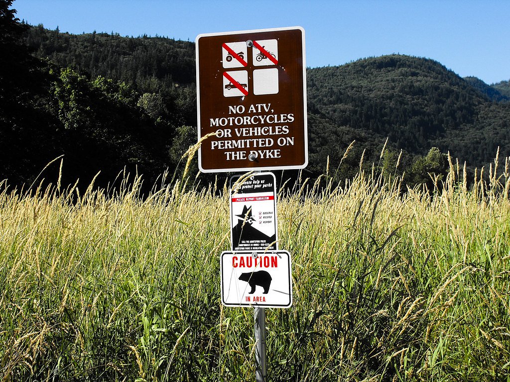
Typical regional wildlife may include black bears, deer, small mammals, grouse and other forest birds. Practice bear-aware behavior: store food securely, keep dogs under control, and make noise on approach in dense forest.
Cities near Watt Creek Falls
Nearby Waterfalls
Writing about Watt Creek Falls? Embed this waterfall on your site for free.