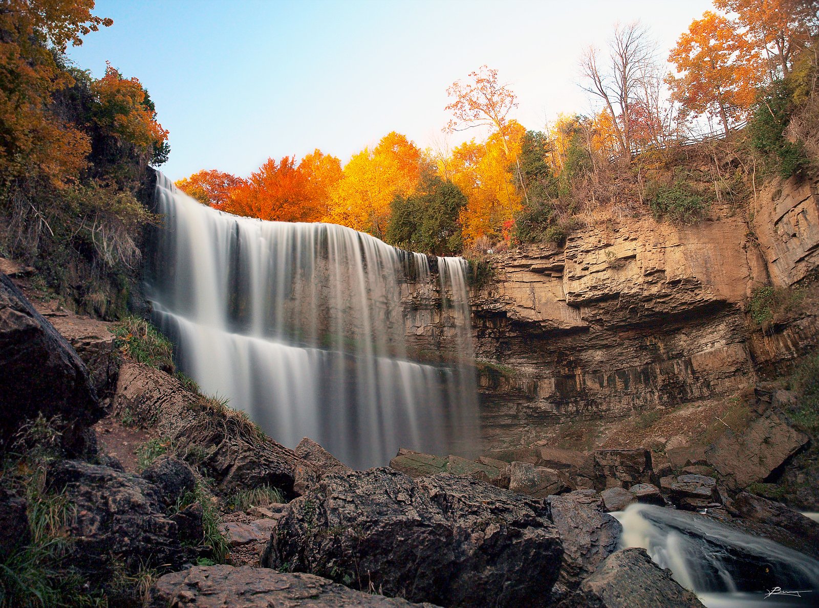
Sydenham Falls
Ontario • 4 m
By Armen Suny · Last verified Jun 2026

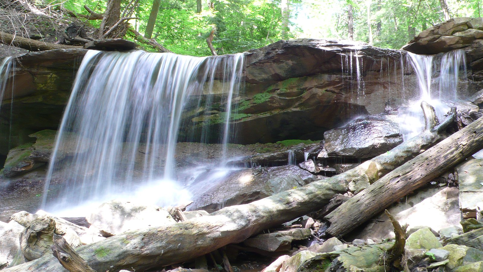
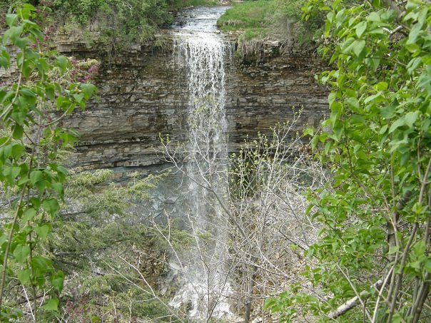
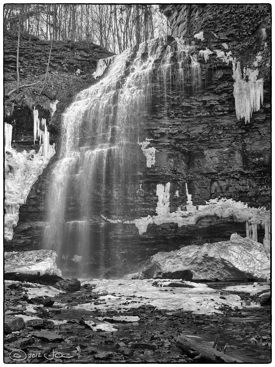
Photo Credits (5)
Difficulty
Moderate
Trail Length
3.2 km
Trail Type
Out And Back
Elevation Gain
103 m
About Sydenham Falls
Sydenham Falls is one of more than 100 waterfalls and cascades found around Hamilton, Ontario, where the Bruce Trail traces the edge of the Niagara Escarpment. The escarpment’s hard caprock and vertical exposures create the perfect conditions for waterfalls, and Sydenham is a rewarding stop for hikers exploring that rugged, scenic corridor. The waterfall is most often reached via a short hike through wooded escarpment terrain. Expect a pleasantly compact outing: the common approach is an out-and-back of about 2.0 miles with roughly 337 feet of climbing and a moderate difficulty rating. For those planning overnight trips, the nearest developed campground (Lost Forest Park & Camping Resort) is roughly 12 km away, though many visitors treat Sydenham as a day-hike destination while exploring Hamilton’s falls network and the nearby reaches of the Bruce Trail.
The Setting
Sydenham Falls sits at 211 metres in the foothills of Ontario. The falls drop 4 metres.
Why This Waterfall Exists
Sydenham Falls flows over layered sedimentary rock laid down about 252-539 million years ago. Over time, the stream has worn through these layers at different rates, creating a 13-foot drop that forms the waterfall.
Nearby Falls Worth Visiting
Tew's Falls (41 m) lies 1.8 kilometres to the west. Also nearby: Webster's Falls (22 m, 1.8 km) and Tiffany Falls (21 m, 4.3 km).
Trail & Hike Details
The Approach
The moderate 3.2-km out-and-back trail gains 103 metres of elevation on the way to the falls.
Trail Description
Detailed, verified trail descriptions are not readily available for this specific waterfall. Visitor reports suggest a short approach from a nearby road or small parking area through wooded terrain. The path may be unpaved, uneven, and include brief steep or rocky sections near the falls. Expect minimal infrastructure (few formal boardwalks or guardrails).
What to Expect
The falls drop a gentle 4 metres over layered sedimentary rock.
Accessibility
The trail is not wheelchair accessible. Uneven terrain and elevation changes require steady footing.
Frequently Asked Questions
🐶 Are Dogs Allowed at Sydenham Falls?
❌ Dogs are not allowed
Are There Any Fees or Permits Required?
🆖 No fees required
🏊 Is There Swimming at Sydenham Falls?
❌ Swimming is not allowed
When to Visit
Spring for highest water flow and thaw runoff; fall for foliage. Summer offers warmer temperatures but lower flows during dry spells. Winter can produce scenic ice formations but expect icy and hazardous trail conditions.
Seasonal Access
The best time to visit is Spring, Summer, Fall, and Winter. Check with the managing park or local authority for current conditions.
Safety Information
Potential hazards include slippery rocks, steep drop-offs, unstable cliff edges, variable water flow, cold water temperatures, and icy conditions in winter. Poison ivy and ticks may be present. Cell service can be spotty; tell someone your plans and expected return time. If conditions are unclear or signs indicate closures, do not proceed.
Current Water Conditions
0.4 m³/s
Current discharge — how much water is flowing
About average for this time of year
Based on 42 years of record
6.02 m
Water depth at gauge
7-Day Discharge Trend
What does this mean for your visit?
Flow is about average for this time of year.
About This Gauge
7-Day Flow Outlook
Based on the WSC gauge SPENCER CREEK AT DUNDAS (1 km away).
Today
Moderate
0.5 m³/s
8/10Tomorrow
Moderate
0.6 m³/s
8/10Tue
Moderate
0.5 m³/s
6/10Wed
Moderate
0.5 m³/s
8/10Thu
Moderate
0.4 m³/s
8/10Fri
Moderate
0.5 m³/s
6/10Sat
Moderate
0.4 m³/s
6/10Best window: Today — moderate flow, cloudy (trip score 8/10).
Best time of year: this gauge typically runs highest from mid February to early May, peaking in April.
How we calculate this
This is a transparent outlook, not a precise forecast. We take the waterfall's current flow strength (how it ranks against its historical normal for today, from the nearest WSC stream gauge), carry that ranking forward along the gauge's seasonal curve, and nudge it for forecast rain. Confidence is highest for the next day or two and falls further out. Always check official conditions and your own judgment before visiting — high flows can be dangerous.
Know when to go.
Get a free email alert when waterfalls near Hamilton hit peak flow. We only send when conditions are worth the trip — no weekly newsletters, no spam.
Weather Forecast
Location & Access
Getting There
Coordinates: 43.2768, -79.9581. The site is near Hamilton (≈5.3 miles), Kitchener (≈30.1 miles) and Orangeville (≈37.1 miles). Use the coordinates or a detailed local map/GPS for final approach. Access is typically by local roads; expect a short walk from the roadside or nearby parking. Check local conservation authority maps or municipal signage for exact public access points before visiting.
Get Directions on Google MapsParking
Public parking information is not well documented. There may be a small roadside pullout or a small informal parking area nearby. Park legally and off the roadway, obey signage and private property boundaries. If parking is unclear, find a designated lot or consult local municipal/conservation authority information.
Elevation
211 metres above sea level
Coordinates
43.276833° N, -79.958127° W
Visitor Tips & Gear
1) Wear sturdy, closed-toe footwear with good traction. 2) Use caution near edges and wet rocks, slips and falls are common. 3) Respect private property, do not trespass. 4) Check local conservation authority or municipal websites for access advisories. 5) Carry out all garbage; leave no trace. 6) Consider microspikes or traction devices in winter/icy conditions.
As an Amazon Associate, we earn from qualifying purchases.
With 3.2 km and 103 m of elevation gain, sturdy boots and trekking poles will help on this moderate trail. Icy conditions are common in winter — traction cleats are a smart addition.

Columbia Watertight II Rain Jacket
Packs into its own pocket, seam-sealed, and keeps you dry from spray and surprise rain.

Polarized Sunglasses (Knockaround)
Cuts glare off the water so you actually see the falls — and your photos turn out better too.

Earth Pak Waterproof Dry Bag
Keeps your phone and gear dry when waterfall mist soaks everything else.

Waterproof Phone Pouch (AiRunTech)
Cheap insurance — take photos right next to the falls without killing your phone.

Timberland Euro Sprint Mid Waterproof
Trusted waterproof boot with premium leather and grippy rubber sole — reliable on rocky, wet trails.

TrailBuddy Trekking Poles
Lightweight aluminum, cork grips, and flip-locks that actually hold — a best-seller for good reason.
Where to Stay
Browse vacation cabins and private rentals nearby
Unique outdoor stays — tents, yurts, and treehouses
Rent a campervan or RV for your waterfall road trip
Some links are affiliate links. We may earn a commission at no extra cost to you.
Nearby Campground
Lost Forest Park & Camping Resort
12.1 km away
Additional Information
Nearby Attractions
The broader Hamilton area is known for many waterfalls and conservation areas (for example: Webster's Falls, Tews Falls, Spencer Gorge, Albion Falls, and Royal Botanical Gardens). Check local maps for other nearby hikes and points of interest.
Wildlife
Typical Southern Ontario wildlife: songbirds, squirrels, raccoons, white-tailed deer, and seasonal presence of ticks. Keep distance from wildlife and secure food.
Cities near Sydenham Falls
Nearby Waterfalls
Writing about Sydenham Falls? Embed this waterfall on your site for free.