Skutz Falls
British Columbia • 6 m
By Armen Suny · Last verified Jun 2026
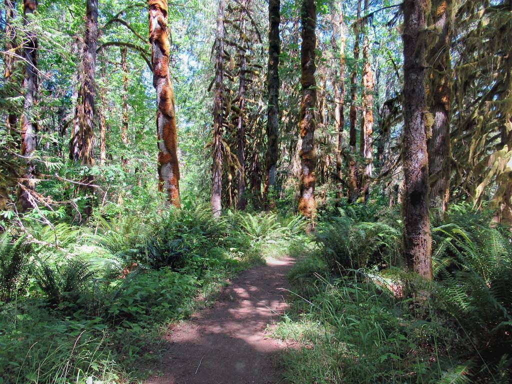
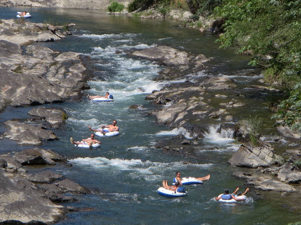

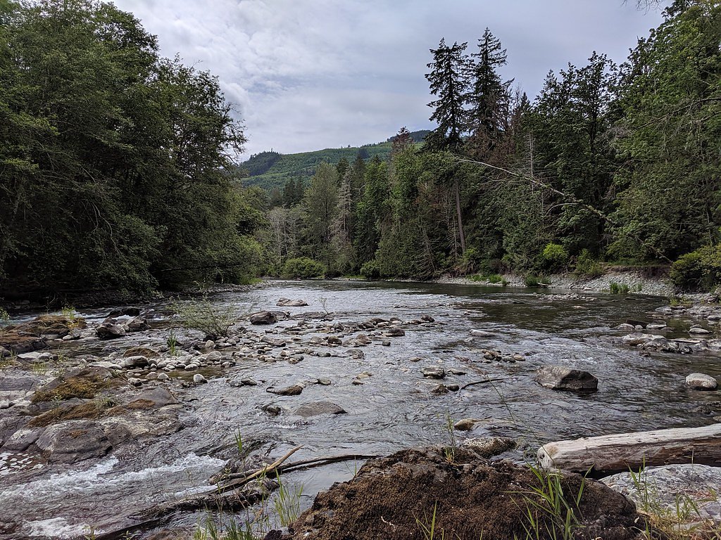
Photo Credits (5)
Difficulty
Moderate
Trail Length
6.9 km
Trail Type
Loop
Elevation Gain
142 m
About Skutz Falls
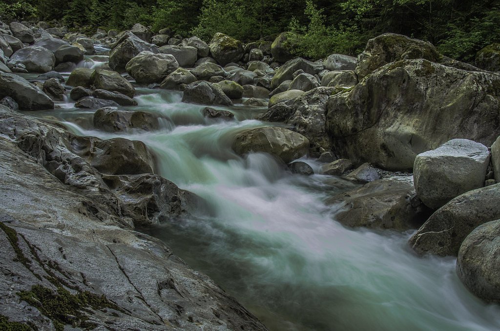
Skutz Falls is a waterfall on the Cowichan River on Vancouver Island, British Columbia, Canada. It is located just above Marie Canyon. The name was originally Skwets or Squitz, meaning "waterfall" in the Cowichan dialect of Halkomelem.
The Setting
Skutz Falls sits at 121 metres in the coastal lowlands of British Columbia. The falls drop 6 metres.
Why This Waterfall Exists
Skutz Falls flows over hard volcanic rock laid down about 201-252 million years ago. These resistant rocks form a durable ledge that water cannot easily wear away, creating a 20-foot drop where softer material downstream has already eroded.
Trail & Hike Details
The Approach
The moderate 6.9-km loop trail gains 142 metres of elevation on the way to the falls.
Trail Description
A short, mostly paved or well-maintained path/boardwalk leads from the parking area to one or more viewing platforms above the river. There are steps/stairs to lower viewing points in some spots; the main viewpoints are a very short walk from parking. Expect minimal elevation change and a compact route suitable for most visitors.
What to Expect
The falls drop a gentle 6 metres over hard volcanic rock.
Accessibility
The trail is not wheelchair accessible. Uneven terrain and elevation changes require steady footing.
Frequently Asked Questions
🐶 Are Dogs Allowed at Skutz Falls?
❌ Dogs are not allowed
Are There Any Fees or Permits Required?
🆖 No fees required
🏊 Is There Swimming at Skutz Falls?
❌ Swimming is not allowed
When to Visit
Fall (typically October–November) is the best time to see salmon runs and lots of bird activity. Spring can have higher flows and good scenery. Summer offers easier access and warmer weather but lower flows. Winter visits are possible but may feature high water and slippery conditions.
Seasonal Access
The best time to visit is Spring, Summer, Fall, and Winter. Check with the managing park or local authority for current conditions.
Safety Information
Hazards include slippery rocks and trails, fast and cold river currents, steep banks in places, and variable water levels, especially during spring freshet and heavy rain. Respect barriers and posted warnings. Keep children and pets well supervised near the water. If viewing salmon, avoid trampling spawning habitat. Emergency services may have limited access; carry a charged phone and tell someone your plans.
Current Water Conditions
5.7 m³/s
Current discharge — how much water is flowing
Much lower than usual for this time of year
Based on 91 years of record
0.25 m
Water depth at gauge
7-Day Discharge Trend
What does this mean for your visit?
Flow is well below normal for this time of year, so the waterfall may be a trickle.
About This Gauge
This gauge is on a nearby waterway and may not reflect exact conditions at the falls.
7-Day Flow Outlook
Based on the WSC gauge COWICHAN RIVER AT LAKE COWICHAN (9 km away).
Today
Barely Flowing
5.5 m³/s
5/10Tomorrow
Barely Flowing
5.4 m³/s
4/10Tue
Barely Flowing
5.4 m³/s
4/10Wed
Barely Flowing
5.3 m³/s
4/10Thu
Barely Flowing
5.3 m³/s
4/10Fri
Barely Flowing
5.2 m³/s
4/10Sat
Barely Flowing
5.3 m³/s
4/10Best window: Today — barely flowing flow, mainly sunny (trip score 5/10).
Best time of year: this gauge typically runs highest from mid November to early February, peaking in December.
How we calculate this
This is a transparent outlook, not a precise forecast. We take the waterfall's current flow strength (how it ranks against its historical normal for today, from the nearest WSC stream gauge), carry that ranking forward along the gauge's seasonal curve, and nudge it for forecast rain. Confidence is highest for the next day or two and falls further out. Always check official conditions and your own judgment before visiting — high flows can be dangerous.
Know when to go.
Get a free email alert when waterfalls near Nanaimo hit peak flow. We only send when conditions are worth the trip — no weekly newsletters, no spam.
Weather Forecast
Location & Access
Getting There
Skutz Falls is on Vancouver Island near Duncan and approximately 20 miles (about 30–40 km) south of Nanaimo. Access is via local roads off the Island Highway (Trans-Canada Hwy) in the Cowichan Valley area; follow local signage for Skutz Falls/Cowichan River access. The falls are reached by a short walk from the roadside parking/viewpoint areas.
Get Directions on Google MapsParking
There is a small parking area and roadside pullouts near the falls. Parking can be limited during peak times (summer weekends and fall salmon run). Parking is typically informal; there may not be paid parking or a staffed lot.
Elevation
121 metres above sea level
Coordinates
48.783139° N, -123.955626° W
Visitor Tips & Gear
• Wear sturdy shoes with good traction, rocks and stairs can be slippery. • Expect crowds during the fall salmon run and warm summer weekends; arrive early for parking. • Respect signage and fenced/closed areas, especially around the fish ladder and river edges. • Bring binoculars or a camera for salmon and birdwatching. • Carry layers and rain gear, Vancouver Island weather can change quickly. • Leave no trace: pack out trash and avoid disturbing wildlife or spawning fish.
As an Amazon Associate, we earn from qualifying purchases.
With 6.9 km and 142 m of elevation gain, sturdy boots and trekking poles will help on this moderate trail. Icy conditions are common in winter — traction cleats are a smart addition.

Columbia Watertight II Rain Jacket
Packs into its own pocket, seam-sealed, and keeps you dry from spray and surprise rain.

Polarized Sunglasses (Knockaround)
Cuts glare off the water so you actually see the falls — and your photos turn out better too.

Earth Pak Waterproof Dry Bag
Keeps your phone and gear dry when waterfall mist soaks everything else.

Waterproof Phone Pouch (AiRunTech)
Cheap insurance — take photos right next to the falls without killing your phone.

Timberland Euro Sprint Mid Waterproof
Trusted waterproof boot with premium leather and grippy rubber sole — reliable on rocky, wet trails.

TrailBuddy Trekking Poles
Lightweight aluminum, cork grips, and flip-locks that actually hold — a best-seller for good reason.
Where to Stay
Browse vacation cabins and private rentals nearby
Unique outdoor stays — tents, yurts, and treehouses
Rent a campervan or RV for your waterfall road trip
Some links are affiliate links. We may earn a commission at no extra cost to you.
Nearby Campground
Horseshoe Bend Group Campsite
1.1 km away
Additional Information
Nearby Attractions
Duncan (noted for totem poles and small-town services), Cowichan Valley wineries and farms, Cowichan River Provincial Park and other riverside parks, Shawnigan Lake and surrounding parks. Nanaimo is to the north for ferry and city services.
Wildlife
Seasonal salmon runs, bald eagles, herons, waterfowl, and common forest birds. Black bears and other larger mammals are present in the region but sightings near the falls are less common; always store food securely and be bear-aware.
Cities near Skutz Falls
Nearby Waterfalls
Writing about Skutz Falls? Embed this waterfall on your site for free.