
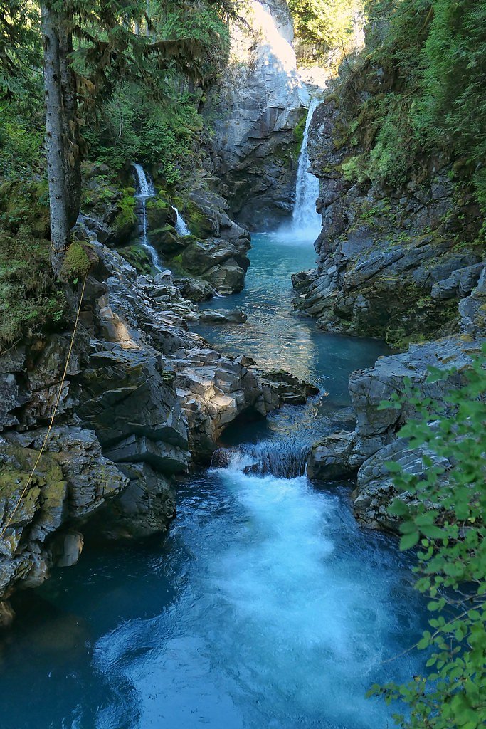
Mashiter Creek Falls
By Armen Suny · Last verified Jun 2026
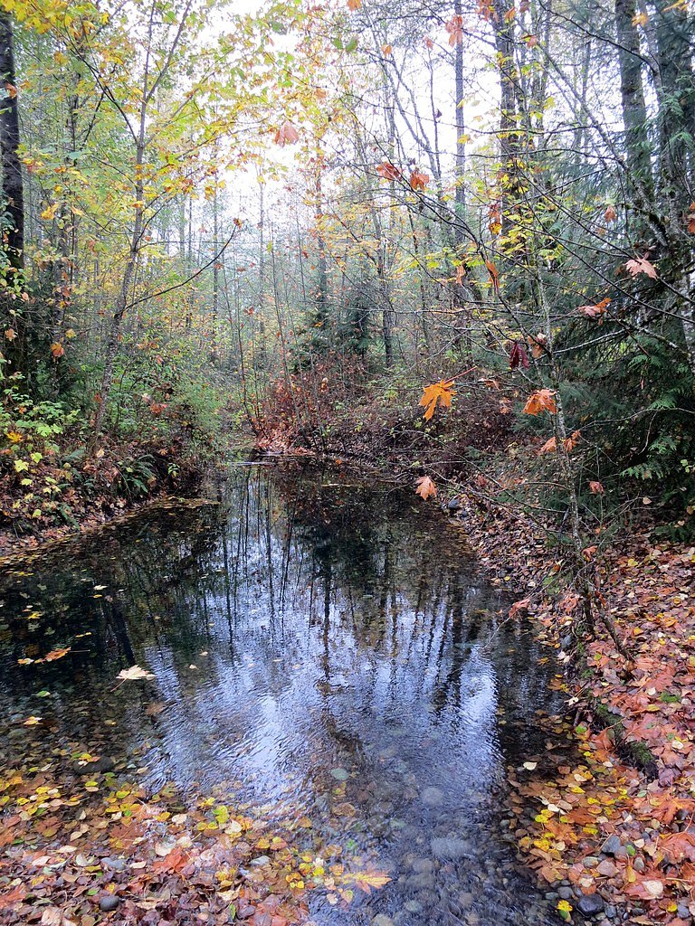
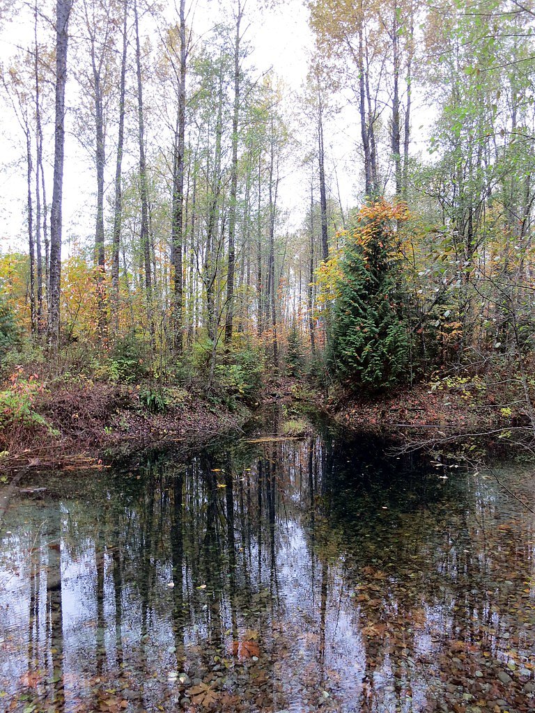
Photo Credits (3)
Difficulty
Moderate
About Mashiter Creek Falls
Mashiter Creek Falls is a forested cascade on Mashiter Creek located north of Vancouver in southwestern British Columbia. The falls sit in a steep, wooded valley and are best viewed from a short unimproved trail or roadside viewpoint. Flow is typically highest in spring and after heavy rains; in summer the creek may be reduced to smaller cascades and pools. Specific published height and official park designation for this feature are not well-documented, so details below are conservative and may vary by season.
Why This Waterfall Exists
Mashiter Creek Falls flows over hard intrusive rock laid down about 145-162 million years ago. These resistant rocks form a durable ledge that water cannot easily wear away, creating the falls where softer material downstream has already eroded.
Nearby Falls Worth Visiting
Mamquam Falls (19 m) lies 2.4 kilometres to the southeast.
Trail & Hike Details
Trail Description
Approach to the falls is generally along an unpaved, natural trail through temperate coastal forest. Trails may be narrow, muddy, and rooty with occasional steep sections and short scramble areas near the creek. Expect limited signage and some route-finding; use a map or GPS. The final viewpoint may require descending a short bank to a creekside ledge. Trails are likely best-negotiated by hikers with good footwear and basic route-finding skills.
What to Expect
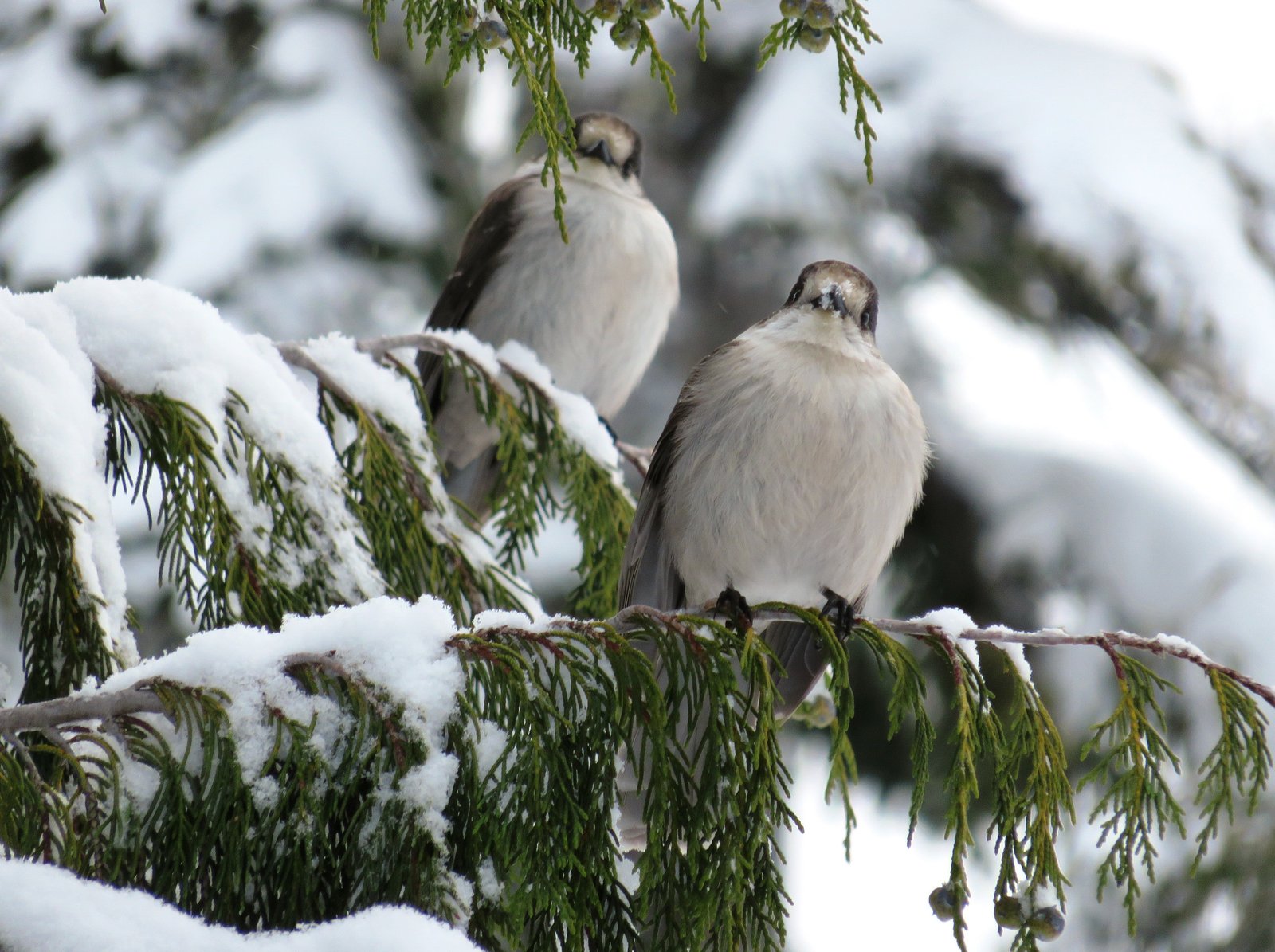
A wooded, relatively secluded waterfall in a narrow creek valley. The waterfall likely consists of cascades and stepped drops rather than a single vertical plunge. Seasonal variation is significant: high flows in spring and after storms, lower flows in late summer. No developed viewing platforms, railings, or maintained facilities are known. Cell coverage may be intermittent in valley bottoms. Wildlife in the area may include black bears, deer, and numerous birds and small mammals.
Accessibility
The trail is not wheelchair accessible. Uneven terrain and elevation changes require steady footing.
Frequently Asked Questions
🐶 Are Dogs Allowed at Mashiter Creek Falls?
❌ Dogs are not allowed
Are There Any Fees or Permits Required?
🆖 No fees required
🏊 Is There Swimming at Mashiter Creek Falls?
❌ Swimming is not allowed
When to Visit
Late spring and early summer for strongest flows and lush forest growth. Fall offers cooler conditions and color but can be rainier. Winter visits are possible but may have snow, ice, and hazardous conditions on trails; use caution.
Seasonal Access
The best time to visit is Spring, Summer, Fall, and Winter. Check with the managing park or local authority for current conditions.
Safety Information
Hazards include slippery rocks, steep banks, unstable edges, swift creek currents in high flow, falling debris after storms, and limited cell service. Winter and shoulder seasons can bring snow and ice. Stay off wet rocks near the edge, avoid getting too close to fast-moving water, and watch for changing weather. If route-finding on unmarked trails, carry navigation tools and emergency supplies. For park- or land-specific closures and conditions, check with local forest service or municipal authorities before visiting.
Current Water Conditions
16.1 m³/s
Current discharge — how much water is flowing
Lower than usual for this time of year
Based on 33 years of record
1.58 m
Water depth at gauge
7-Day Discharge Trend
What does this mean for your visit?
Flow is lower than usual for this time of year.
About This Gauge
7-Day Flow Outlook
Based on the WSC gauge MAMQUAM RIVER ABOVE RING CREEK (2 km away).
Today
Low
16 m³/s
6/10Tomorrow
Low
16 m³/s
5/10Tue
Low
16 m³/s
5/10Wed
Low
17 m³/s
5/10Thu
Low
14 m³/s
5/10Fri
Moderate
17 m³/s
5/10Sat
Moderate
15 m³/s
5/10Best window: Today — low flow, sunny (trip score 6/10).
Best time of year: this gauge typically runs highest from late April to mid July, peaking in June.
How we calculate this
This is a transparent outlook, not a precise forecast. We take the waterfall's current flow strength (how it ranks against its historical normal for today, from the nearest WSC stream gauge), carry that ranking forward along the gauge's seasonal curve, and nudge it for forecast rain. Confidence is highest for the next day or two and falls further out. Always check official conditions and your own judgment before visiting — high flows can be dangerous.
Know when to go.
Get a free email alert when waterfalls near Vancouver hit peak flow. We only send when conditions are worth the trip — no weekly newsletters, no spam.
Weather Forecast
Location & Access
Getting There
The falls are at approximately latitude 49.7388, longitude -123.1081, roughly 25 miles north of central Vancouver. Access is typically via local forest/roadside pullouts and short informal trails; exact public trailheads are not well-signed in many sources. Expect driving on regional roads off the main highway and a short walk through forested terrain to reach views. Visitors should use a detailed map or GPS and check local trail reports before travel.
Get Directions on Google MapsParking
Parking is likely limited to a small roadside pullout or informal parking area. There are no confirmed developed parking lots, restrooms, or visitor facilities noted for this site. Park safely off the road and avoid blocking driveways or gates.
Elevation
105 metres above sea level
Coordinates
49.738840° N, -123.108126° W
Visitor Tips & Gear
Wear sturdy, waterproof footwear with good traction. Expect slippery rocks, mud, and potentially steep or loose terrain near the creek. Travel with a partner when possible and tell someone your route. Bring a map/GPS, trailheads and routes may be unmarked. Pack out all waste and practice Leave No Trace. Check recent trip reports or local hiking resources before visiting, especially after heavy rain or during winter when conditions can be icy.
Where to Stay
Browse vacation cabins and private rentals nearby
Unique outdoor stays — tents, yurts, and treehouses
Rent a campervan or RV for your waterfall road trip
Some links are affiliate links. We may earn a commission at no extra cost to you.
Nearby Campground
Mamquam River Campground
2 km away
Additional Information
Nearby Attractions
The Sea-to-Sky corridor attractions (e.g., Shannon Falls, Stawamus Chief, and access toward Garibaldi Provincial Park) are regionally nearby; exact distances vary. Check local visitor resources for other attractions in the area.
Wildlife
Black bears, deer, small mammals, and songbirds are commonly present in coastal temperate forests. Cougar sightings are rare but possible. Be bear-aware: store food securely and make noise on the trail.
Cities near Mashiter Creek Falls
Nearby Waterfalls
Writing about Mashiter Creek Falls? Embed this waterfall on your site for free.