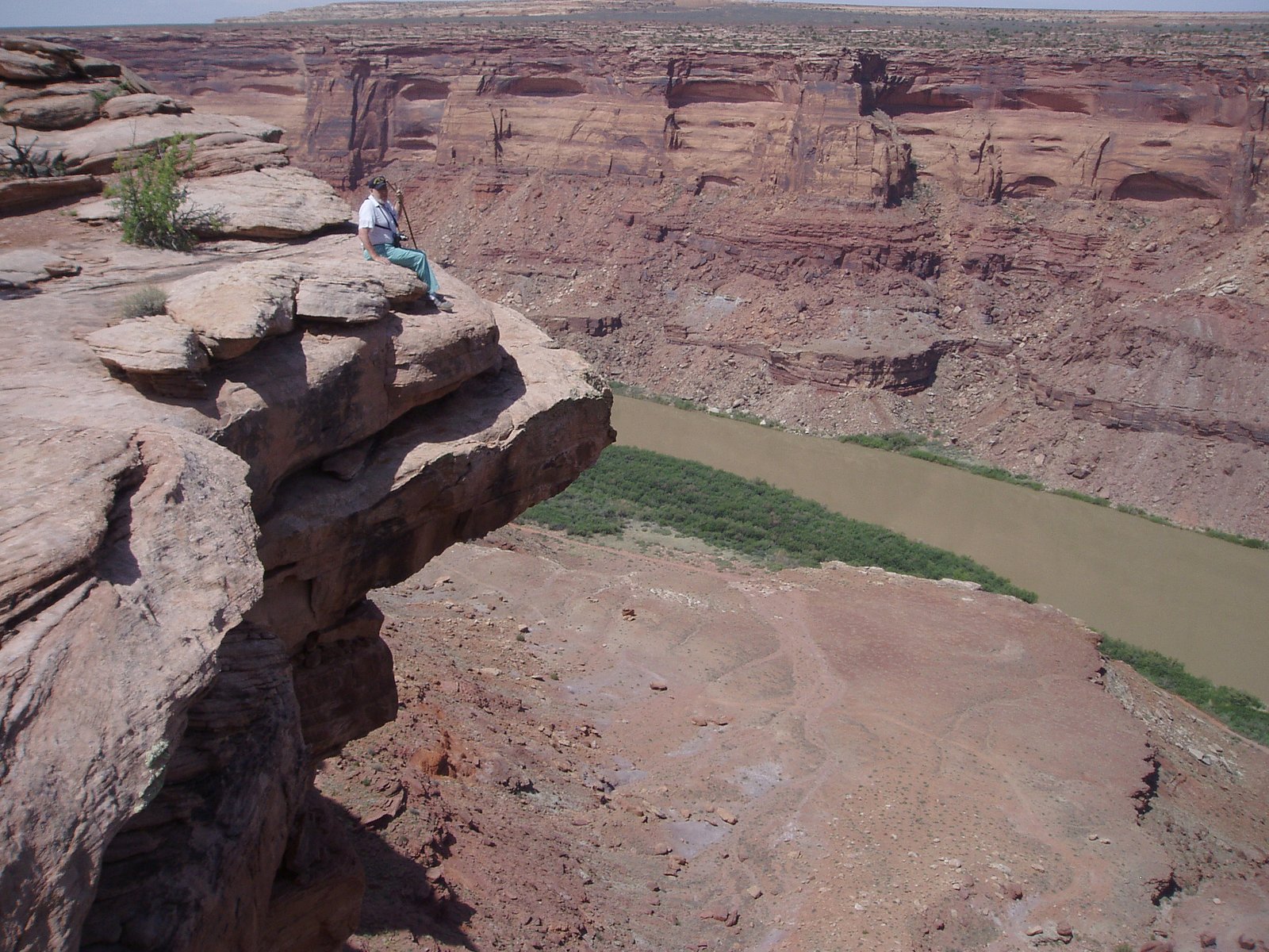
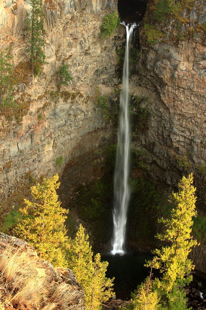
Marble Canyon
British Columbia • Carmanah Walbran Park
By Armen Suny · Last verified Jun 2026
Photo Credits (5)
About Marble Canyon
Marble Canyon (coordinates 48.6393, -124.6073) is described in local reports as a narrow coastal canyon/gorge with steep rock walls and small cascades fed by seasonal streams. NOTE: the supplied coordinates place this feature on the northwestern Olympic Peninsula near Neah Bay/Clallam County (Washington, USA), not inside British Columbia; there is also a similarly named Marble Canyon in British Columbia (near Lillooet). Jurisdiction, exact trailhead location, and official name may vary depending on local maps and signage. Many online trip reports describe limited signage, short but steep access, and viewpoints on the rim rather than a maintained developed falls viewing area.
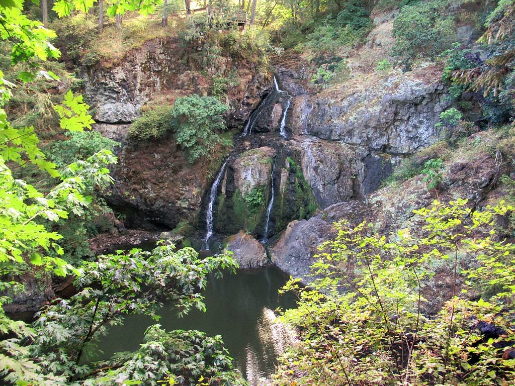
The Setting
Marble Canyon sits at 136 metres within Carmanah Walbran Park, in the coastal lowlands of British Columbia.
Why This Waterfall Exists
Marble Canyon flows over hard intrusive rock laid down about 145-252 million years ago. These resistant rocks form a durable ledge that water cannot easily wear away, creating the falls where softer material downstream has already eroded.
Trail & Hike Details
Trail Description
Trail information appears to be limited or inconsistently documented. Trip reports indicate very short approaches from roadside pullouts or informal tracks that can be steep, rocky, and without maintained steps or signage. Expect a short but possibly steep scramble to viewpoints in places. If an established trail exists it may be under 2 miles round-trip, but that is not confirmed; until you verify a mapped trail, assume rugged, minimally developed conditions.
What to Expect
Steep, narrow canyon walls with pockets of pools and small cascades after rains. Rocky, often wet surfaces and exposed roots. Limited or no facilities (no restrooms, no potable water). Variable trail conditions depending on season, higher flows in spring, lower in late summer. Potential for limited cell service and remote conditions. Views are often from the rim or a small cleared viewpoint rather than a developed overlook.
Accessibility
Likely not accessible for wheelchairs or strollers. Terrain is expected to be steep, rocky, and uneven with possible scrambles, plan for limited accessibility.
Frequently Asked Questions
🐶 Are Dogs Allowed at Marble Canyon?
❌ Dogs are not allowed
Are There Any Fees or Permits Required?
🆖 No fees required
🏊 Is There Swimming at Marble Canyon?
❌ Swimming is not allowed
When to Visit
Late spring for higher flows and vibrant moss growth; early-to-mid summer for easier, drier access; fall for lower crowds and autumn colors. Avoid visiting during heavy winter storms due to slippery conditions and increased runoff unless you are prepared for remote, wet terrain.
Seasonal Access
The best time to visit is Spring, Summer, and Fall. Winter access may be limited. Check with Carmanah Walbran Park for current conditions.
Safety Information
Hazards can include steep or unstable cliff edges, slippery wet rock, falling rock, cold water and strong currents in pools, rapidly changing coastal weather, and limited cell service. Trails or approaches may be unmarked and can require scrambling. If near tribal lands or private property, respect closures and posted signs. Travel with a companion when possible and tell someone your plans. Carry a whistle and emergency kit.
Current Water Conditions
1.5 m³/s
Current discharge — how much water is flowing
Much lower than usual for this time of year
Based on 63 years of record
2.00 m
Water depth at gauge
7-Day Discharge Trend
What does this mean for your visit?
Flow is well below normal for this time of year, so the waterfall may be a trickle.
About This Gauge
This gauge is on a nearby waterway and may not reflect exact conditions at the falls.
7-Day Flow Outlook
Based on the WSC gauge SAN JUAN RIVER NEAR PORT RENFREW (23 km away).
Today
Barely Flowing
1.4 m³/s
4/10Tomorrow
Barely Flowing
1.4 m³/s
4/10Tue
Barely Flowing
1.4 m³/s
4/10Wed
Barely Flowing
1.4 m³/s
4/10Thu
Barely Flowing
1.4 m³/s
4/10Fri
Barely Flowing
1.3 m³/s
4/10Sat
Barely Flowing
1.4 m³/s
3/10Best window: Today — barely flowing flow, cloudy (trip score 4/10).
Best time of year: this gauge typically runs highest from mid November to late December, peaking in November.
How we calculate this
This is a transparent outlook, not a precise forecast. We take the waterfall's current flow strength (how it ranks against its historical normal for today, from the nearest WSC stream gauge), carry that ranking forward along the gauge's seasonal curve, and nudge it for forecast rain. Confidence is highest for the next day or two and falls further out. Always check official conditions and your own judgment before visiting — high flows can be dangerous.
Know when to go.
Get a free email alert when waterfalls near Nanaimo hit peak flow. We only send when conditions are worth the trip — no weekly newsletters, no spam.
Weather Forecast
Location & Access
Getting There
From Neah Bay (approx. 13.8 miles) travel generally southeast on local and forest roads toward the coordinates 48.6393, -124.6073. Access in this coastal area often involves narrow county or forest roads; some approaches may cross tribal lands (Makah) or private properties. If you are coming from Sekiu (approx. 31.3 miles) or Clallam Bay (approx. 33.6 miles), plan for longer drive times on winding coastal roads. Use an up-to-date map/GPS and verify land ownership and access restrictions before setting out.
Get Directions on Google MapsParking
Parking is likely limited to small pullouts or informal roadside spaces near the trailhead. There may be no formal parking lot. If the site is on or adjacent to tribal or private land, parking may be restricted, confirm with local authorities or land managers.
Elevation
136 metres above sea level
Coordinates
48.639251° N, -124.607290° W
Land Management
Managed by Government of British Columbia
Visitor Tips & Gear
1) Confirm jurisdiction and access before visiting (this area borders tribal lands and private parcels). 2) Wear sturdy, waterproof footwear with good traction, rocks are slippery. 3) Be prepared for limited signage and bring a map or GPS device with the provided coordinates. 4) Leave no trace, pack out all trash. 5) If access appears to cross private property, seek permission. 6) Check local weather; coastal storms can make conditions hazardous.
Where to Stay
Browse vacation cabins and private rentals nearby
Unique outdoor stays — tents, yurts, and treehouses
Rent a campervan or RV for your waterfall road trip
Some links are affiliate links. We may earn a commission at no extra cost to you.
Nearby Campground
Central Walbran Valley
1.7 km away
Nearby Hot Springs
Hot springs near Nanaimo, British Columbia

Sol Duc Hot Springs
Sol Duc Hot Springs flows at 122 degrees Fahrenheit in Olympic National Park with permanently protected Class 1 status under Na...

Olympic Hot Springs
Olympic Hot Springs flows at 118 degrees within Olympic National Park at 2,000 feet elevation, emerging 72 degrees above ambien...
Looking for a soak after your hike? Explore more hot springs near Nanaimo, British Columbia on SoakingSprings.
Explore British Columbia springsAdditional Information
Nearby Attractions
Neah Bay (approx. 13.8 miles), Makah cultural sites and beach access; Cape Flattery and Cape Flattery Trail (further northwest); Shi Shi Beach and Point of the Arches (coastal trails); Sekiu (approx. 31.3 miles) and Clallam Bay (approx. 33.6 miles) offer coastal viewpoints and services. Note distances provided are approximate driving distances from the supplied coordinates.
Wildlife
Expect coastal and forest wildlife: seabirds and shorebirds, deer, small mammals, and possibly black bear in the wider region. Marine mammals may be visible offshore. Maintain distance from wildlife and store food securely.
Cities near Marble Canyon
Nearby Waterfalls
Writing about Marble Canyon? Embed this waterfall on your site for free.