Lower Mill Falls
Ontario • 6 m
By Armen Suny · Last verified Jun 2026
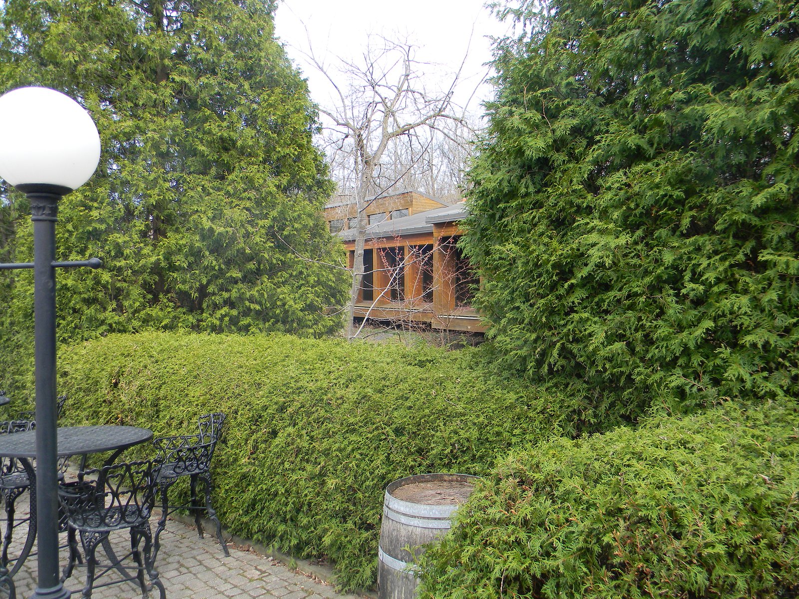
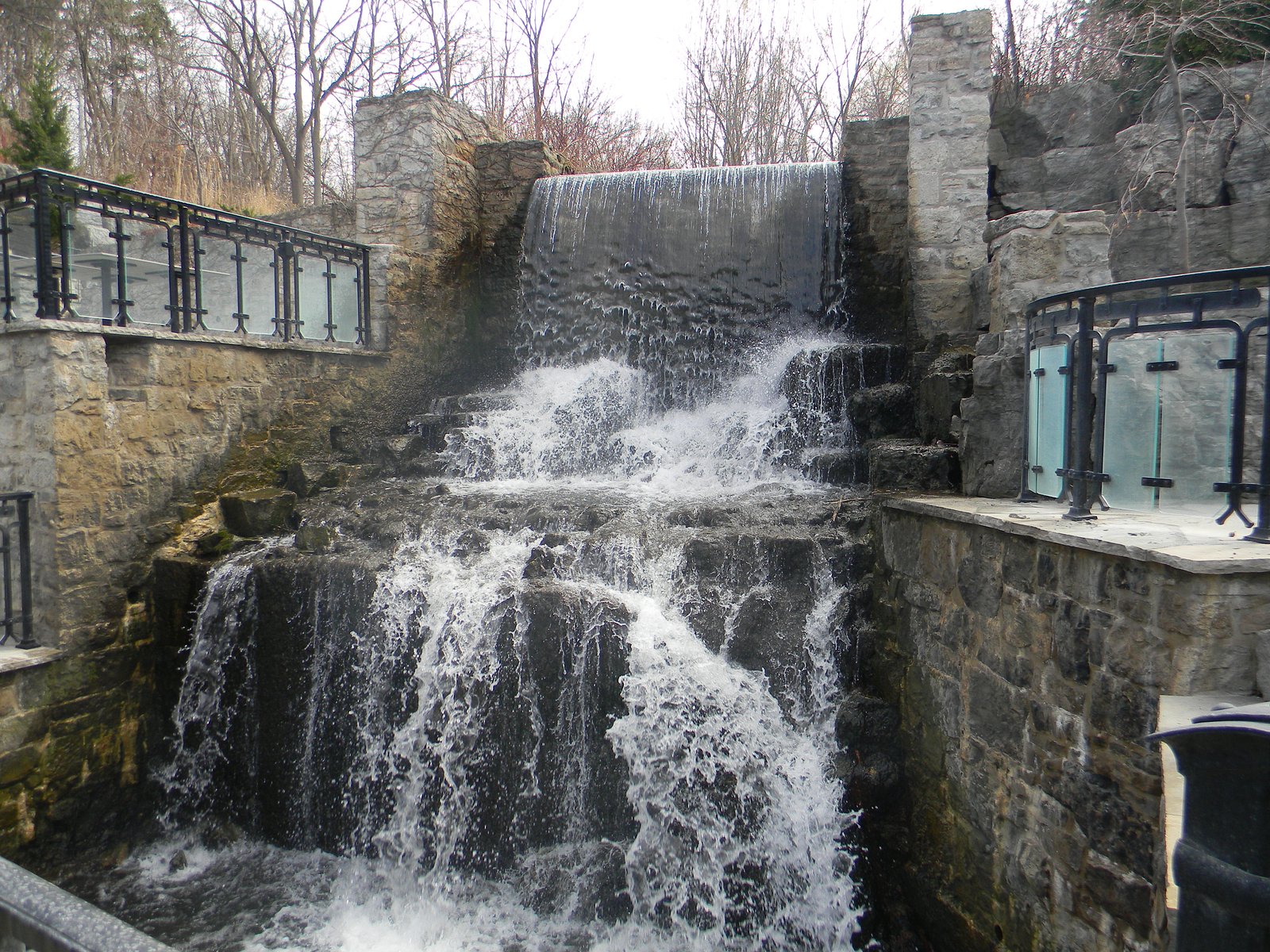
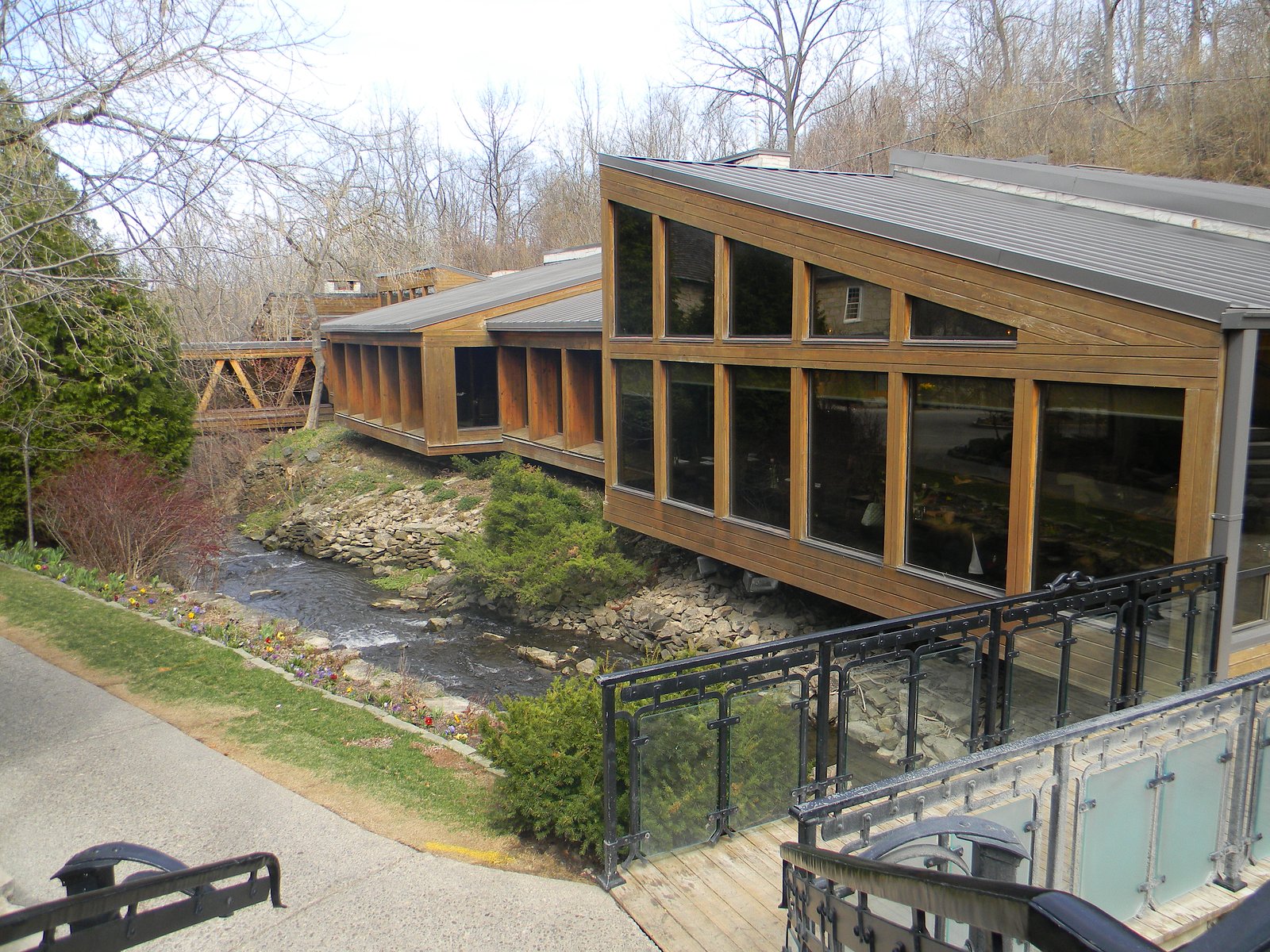
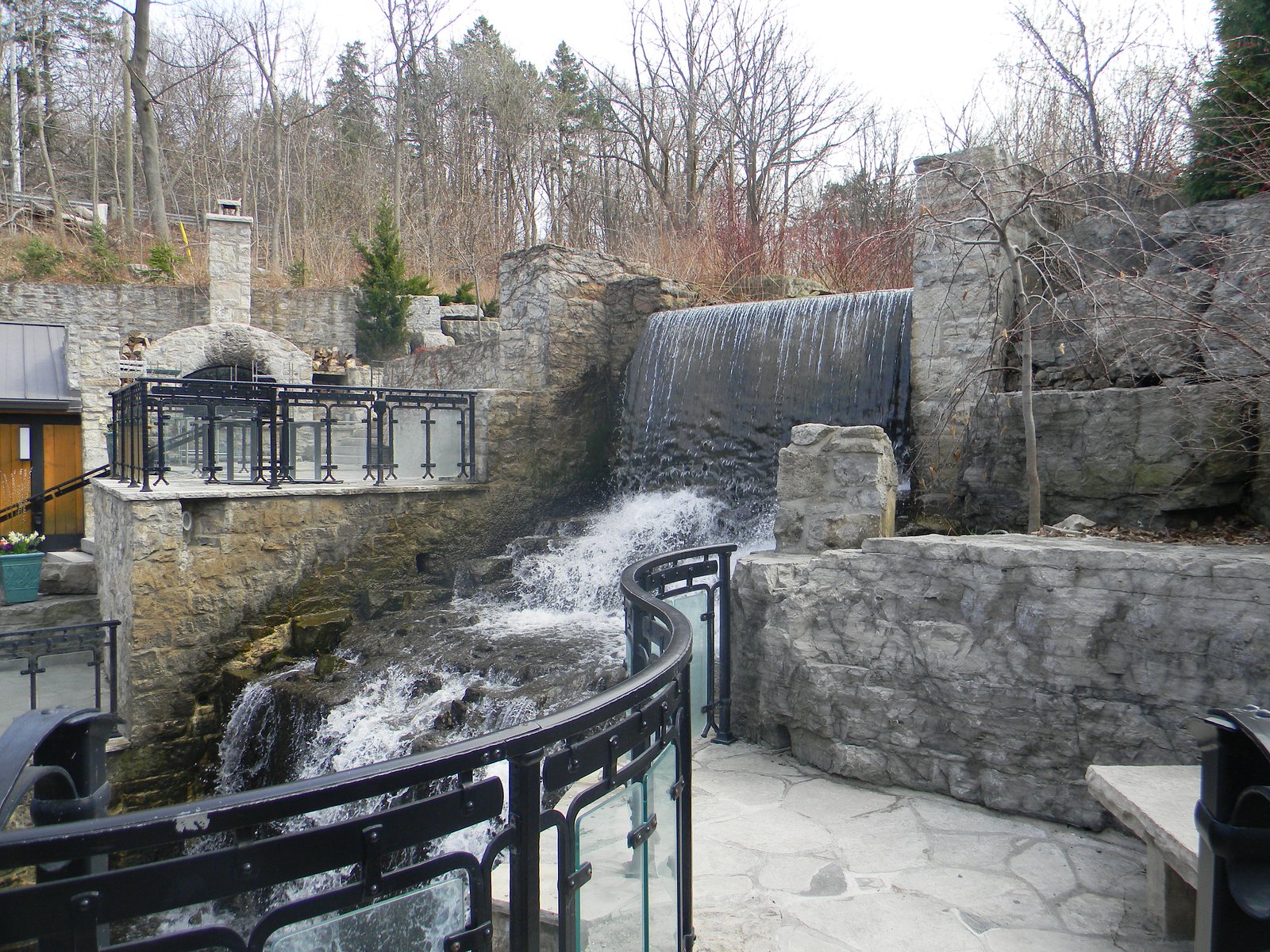
Photo Credits (5)
Difficulty
Drive Up
About Lower Mill Falls
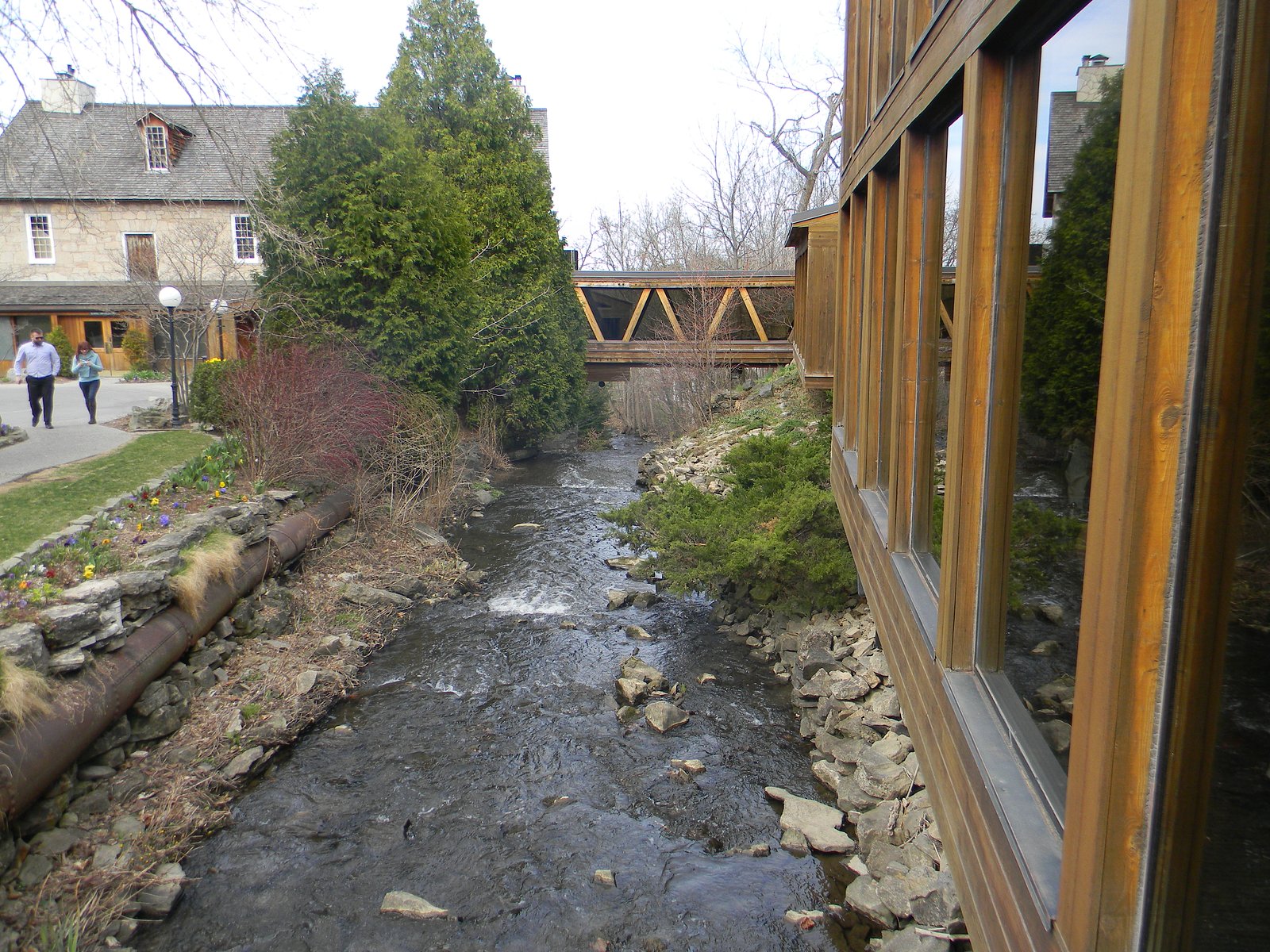
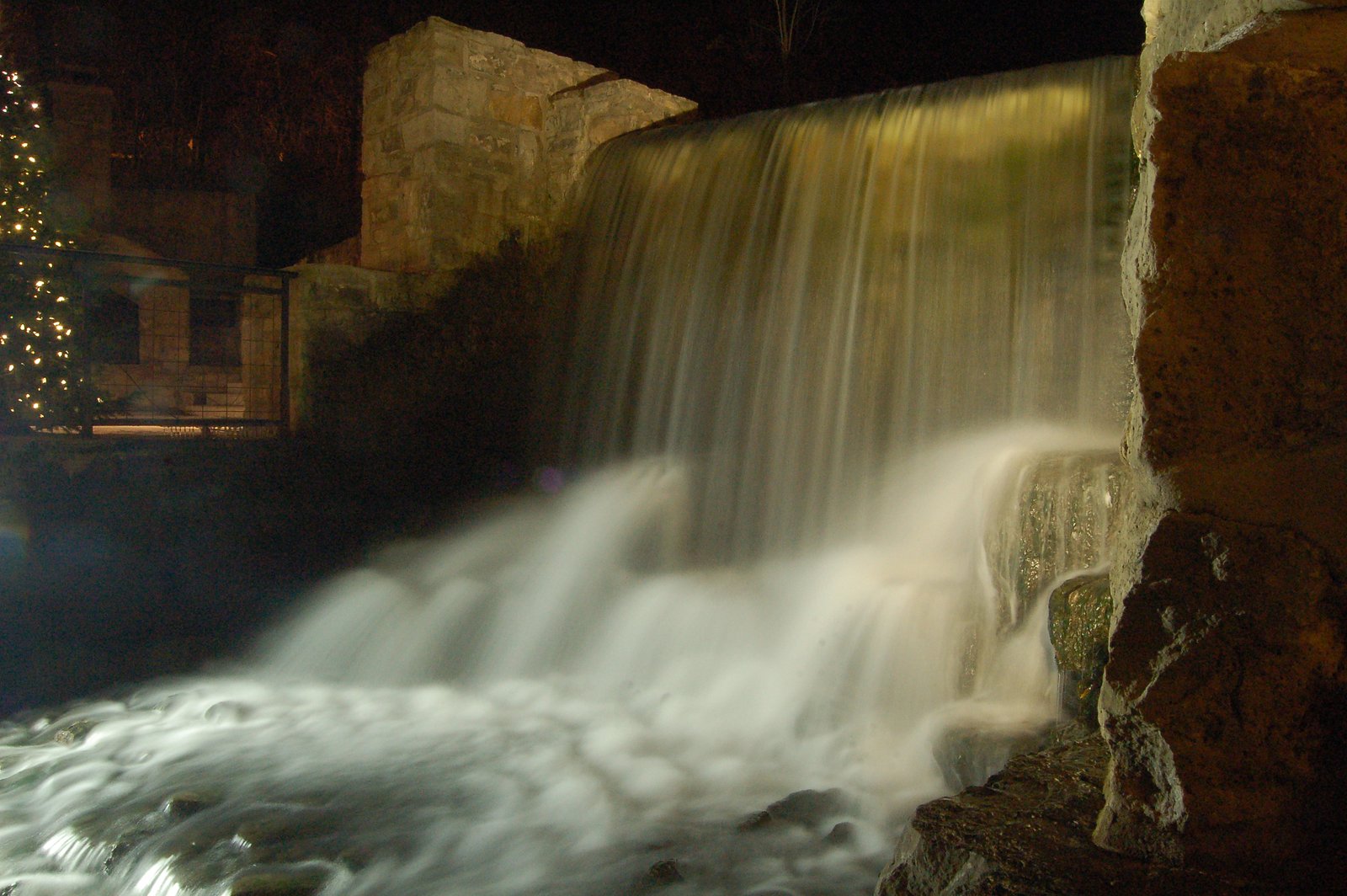
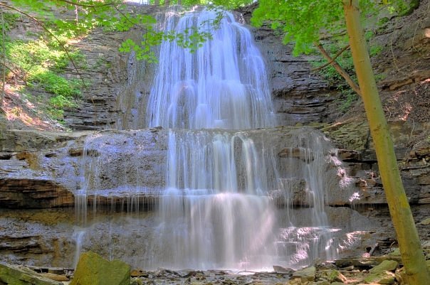
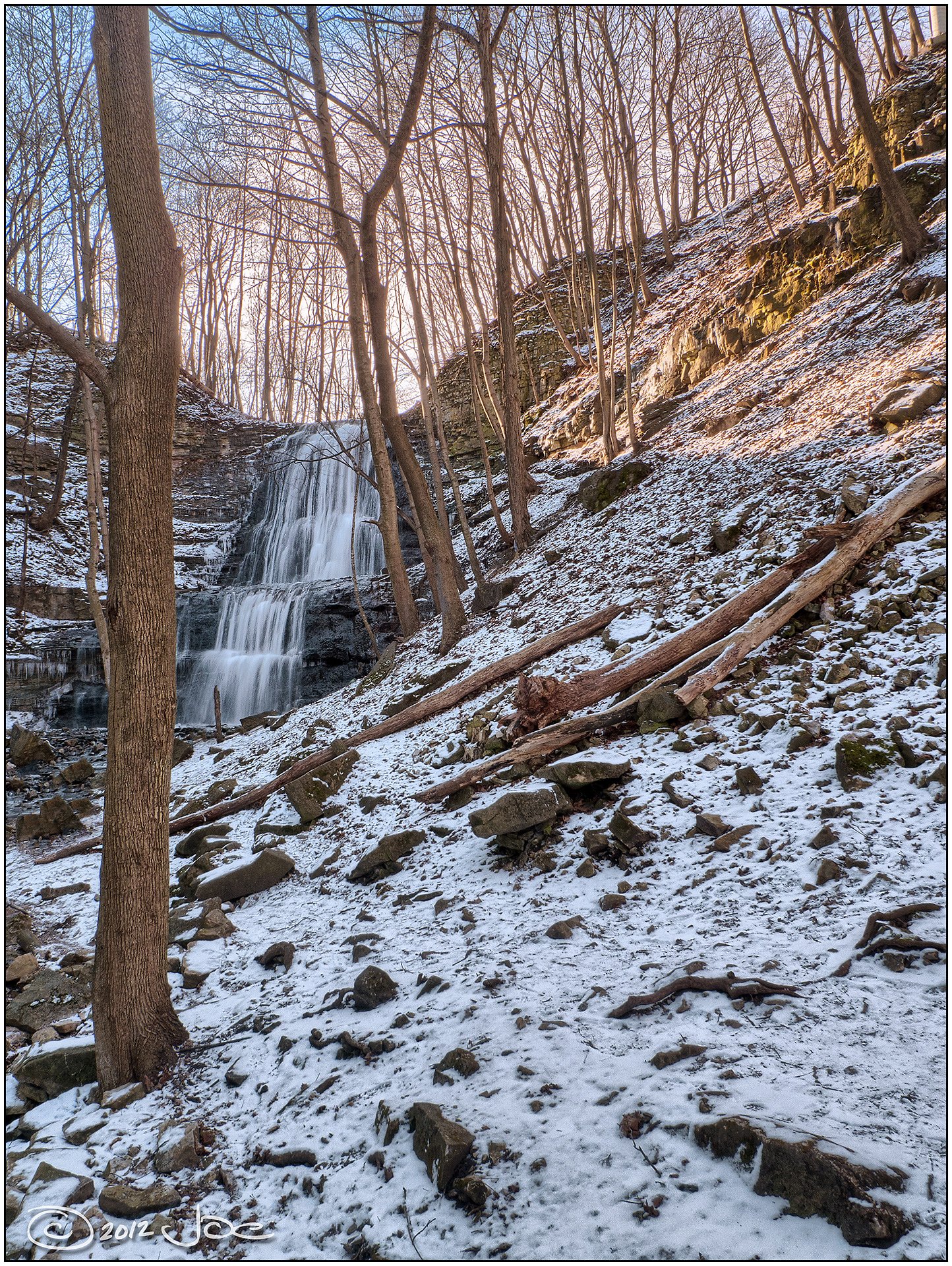
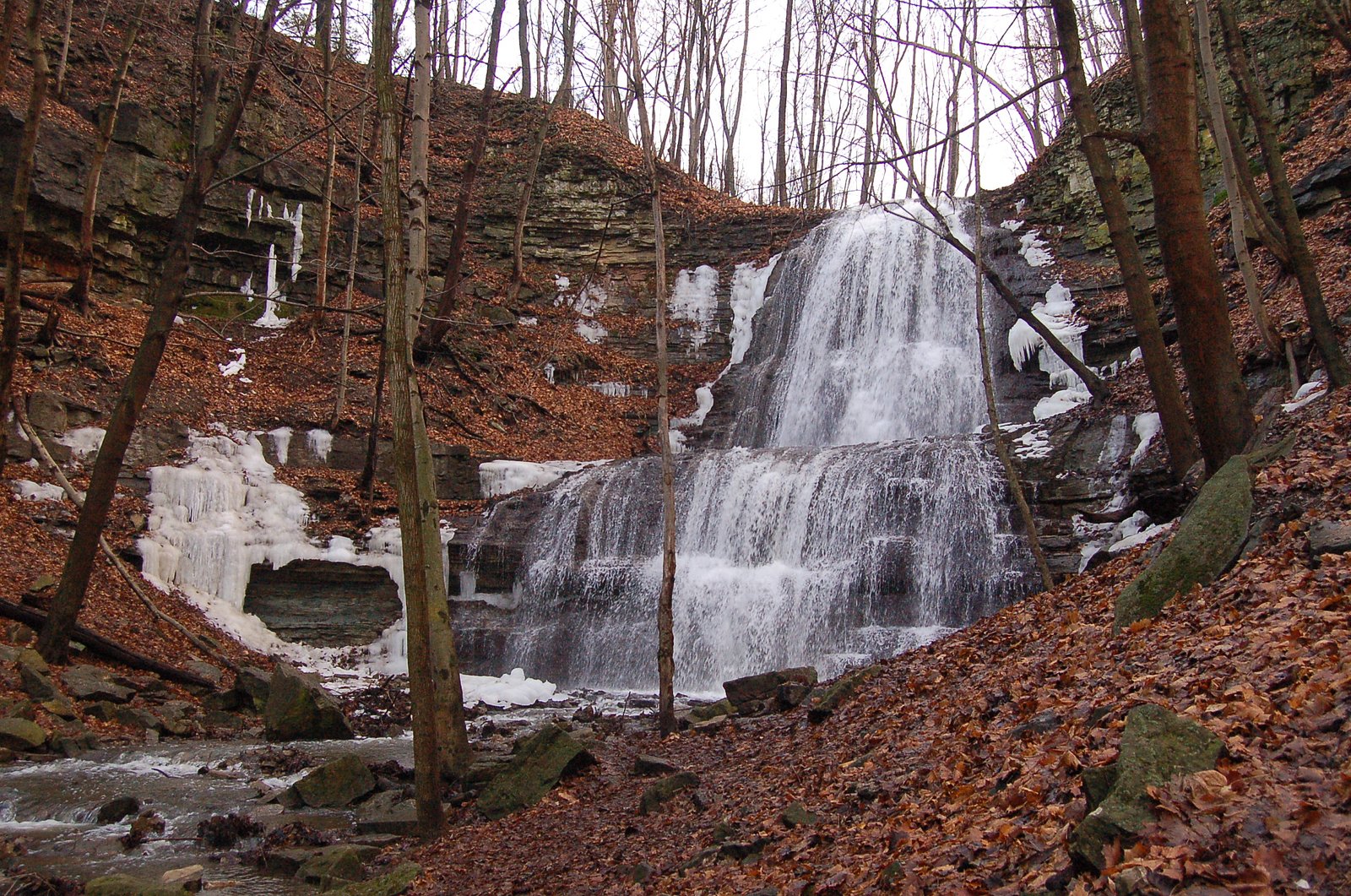
Lower Mill Falls is one of more than a hundred waterfalls that punctuate the Niagara Escarpment as it threads through Hamilton, Ontario. Set in a wooded stretch of the escarpment and easily reached from nearby roads, the falls offer a rewarding short visit for hikers and photographers following sections of the Bruce Trail. The Niagara Escarpment’s bedrock and step-like cliffs, a feature that runs from Tobermory to Niagara Falls, create ideal conditions for cascades like Lower Mill Falls. Access to the falls is straightforward: many visitors approach by road and then follow a brief unpaved footpath into the woods to reach viewpoints. The setting is informal and natural rather than developed, so expect a quiet, forested scene and close-up water views without large built platforms or railings; bring sensible footwear and a camera to capture the falls and surrounding escarpment ravine.
The Setting
Lower Mill Falls sits at 195 metres in the foothills of Ontario. The falls drop 6 metres.
Height: 20 feet
Nearby Falls Worth Visiting
Sherman Falls (17 m) lies 0.5 kilometres to the north. Also nearby: Canterbury Falls (9 m, 0.6 km) and Old Dundas Road Falls (7 m, 0.6 km).
Trail & Hike Details
The Approach
No hiking required. Lower Mill Falls is accessible by vehicle with a roadside viewing area.
Trail Description
Visitors typically follow a short unpaved footpath through mixed woods and uneven terrain to reach viewing points. Trails may include tree roots, rocks and muddy sections after rain. There may be limited or no built viewing platforms or railings; access to streamside viewpoints can require negotiating slippery rocks and short scrambles.
What to Expect
The falls drop a gentle 6 metres.
Accessibility
This waterfall is viewable from a vehicle-accessible area. No hiking is required.
Frequently Asked Questions
🐶 Are Dogs Allowed at Lower Mill Falls?
❌ Dogs are not allowed
Are There Any Fees or Permits Required?
🆖 No fees required
🏊 Is There Swimming at Lower Mill Falls?
❌ Swimming is not allowed
When to Visit
Spring for highest flow; fall for foliage and cooler conditions. Summer provides easier hiking conditions but lower flows are possible. Winter can create attractive ice formations but brings slippery, hazardous conditions, only visit in winter if you are prepared for icy terrain and check for seasonal access rules.
Seasonal Access
The best time to visit is Spring, Summer, Fall, and Winter. Check with the managing park or local authority for current conditions.
Safety Information
Hazards include slippery rocks, unstable or steep stream banks, fast-rising water after storms, and cold/unstable ice in winter. There may be limited or no guardrails. Cell service can be unreliable, carry a map and tell someone your plans. Obey posted signs; do not enter private property. For water-related activities, assume strong currents and hidden hazards; do not swim unless the area is explicitly designated and monitored for swimming.
Current Water Conditions
0.0 m³/s
Current discharge — how much water is flowing
Lower than usual for this time of year
Based on 33 years of record
0.11 m
Water depth at gauge
7-Day Discharge Trend
What does this mean for your visit?
Flow is lower than usual for this time of year.
About This Gauge
7-Day Flow Outlook
Based on the WSC gauge ANCASTER CREEK AT ANCASTER (0 km away).
Today
Low
0.0 m³/s
5/10Tomorrow
Low
0.0 m³/s
5/10Tue
Moderate
0.0 m³/s
4/10Wed
Moderate
0.0 m³/s
6/10Thu
Low
0.0 m³/s
5/10Fri
Moderate
0.0 m³/s
5/10Sat
Moderate
0.0 m³/s
5/10Best window: Wed — moderate flow, cloudy (trip score 6/10).
Best time of year: this gauge typically runs highest from early March to late May, peaking in April.
How we calculate this
This is a transparent outlook, not a precise forecast. We take the waterfall's current flow strength (how it ranks against its historical normal for today, from the nearest WSC stream gauge), carry that ranking forward along the gauge's seasonal curve, and nudge it for forecast rain. Confidence is highest for the next day or two and falls further out. Always check official conditions and your own judgment before visiting — high flows can be dangerous.
Know when to go.
Get a free email alert when waterfalls near Hamilton hit peak flow. We only send when conditions are worth the trip — no weekly newsletters, no spam.
Weather Forecast
Location & Access
Getting There
Use the coordinates 43.2337, -79.9737 as the primary reference. The falls lie roughly northwest of Hamilton (approx. 6 miles), with Kitchener and Orangeville farther away. Access is typically from a nearby parking area or roadside pullout followed by a short walk; exact public access points may vary and some routes may cross private or conservation land. Check local conservation authority maps or municipal signage for permitted access and up-to-date directions.
Get Directions on Google MapsParking
Parking is likely limited to a small roadside pullout or a modest conservation-area lot if the falls are on public land. Expect limited spaces and no formal large parking lot; avoid blocking gates or private driveways. Confirm parking rules with local authorities.
Elevation
195 metres above sea level
Coordinates
43.233735° N, -79.973725° W
Visitor Tips & Gear
• Check access permissions with local conservation authorities or municipality before visiting. • Wear sturdy footwear with good traction; rocks around the falls are often slippery. • Avoid climbing on wet rocks or standing under unstable cliff edges. • Bring insect repellent in warmer months; ticks and mosquitoes can be present. • Park only where permitted and respect private property signs. • Leave no trace, pack out trash and avoid disturbing vegetation or wildlife.
Where to Stay
Browse vacation cabins and private rentals nearby
Unique outdoor stays — tents, yurts, and treehouses
Rent a campervan or RV for your waterfall road trip
Some links are affiliate links. We may earn a commission at no extra cost to you.
Nearby Campground
circle square ranch
15.5 km away
Additional Information
Nearby Attractions
The Hamilton area hosts many notable waterfalls and gorge viewpoints (e.g., Webster's Falls, Tews Falls, Albion Falls, Spencer Gorge). Confirm exact distances and routes using a map or local park information.
Wildlife
Typical southern Ontario woodland species: songbirds, squirrels, raccoons, white-tailed deer, and small mammals. Insects including mosquitoes and ticks are common in warmer months. Be mindful of wildlife and do not feed animals.
Cities near Lower Mill Falls
Nearby Waterfalls

Writing about Lower Mill Falls? Embed this waterfall on your site for free.