Little Canterbury Falls
Ontario • Dundas Valley Conservation Area • 5 m
By Armen Suny · Last verified Jun 2026
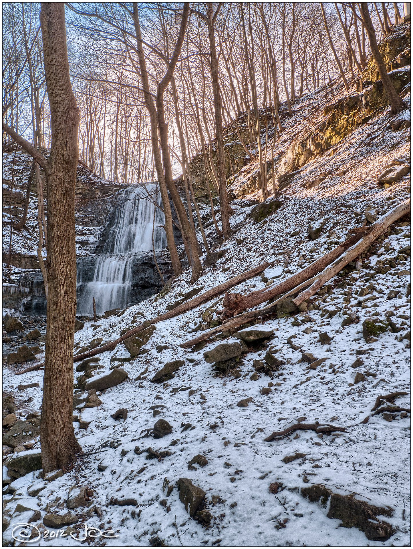
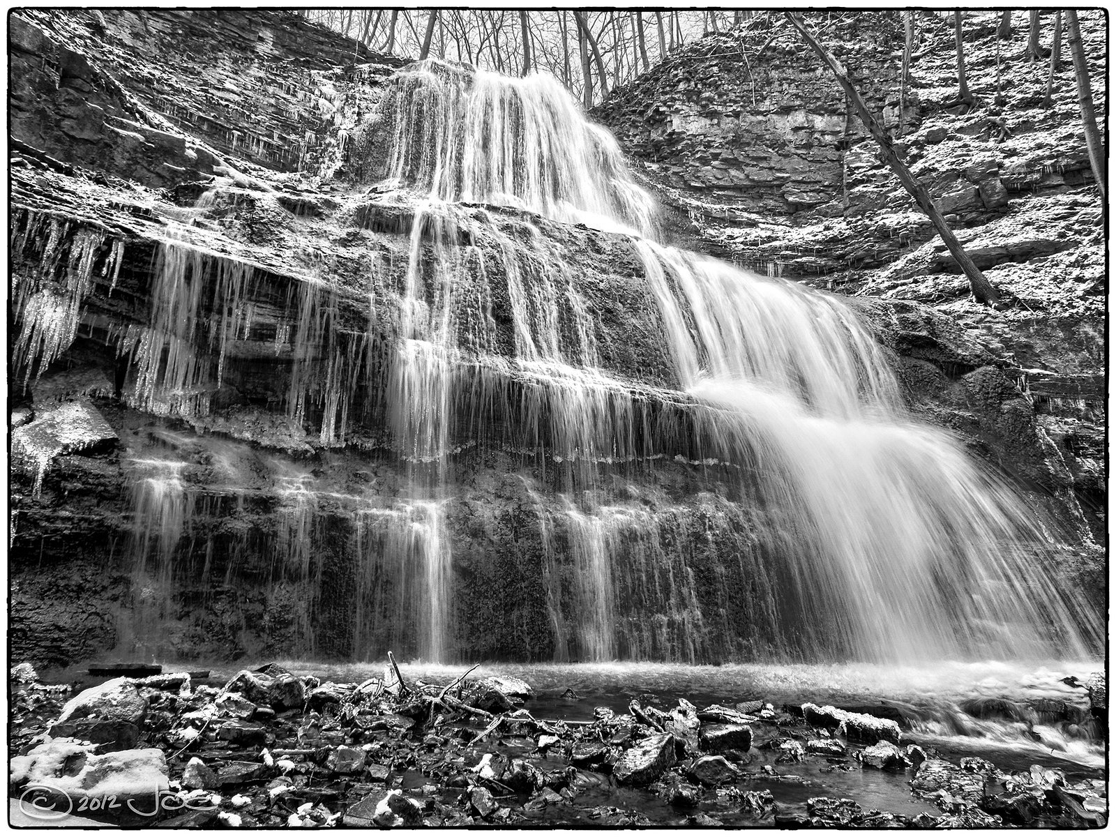
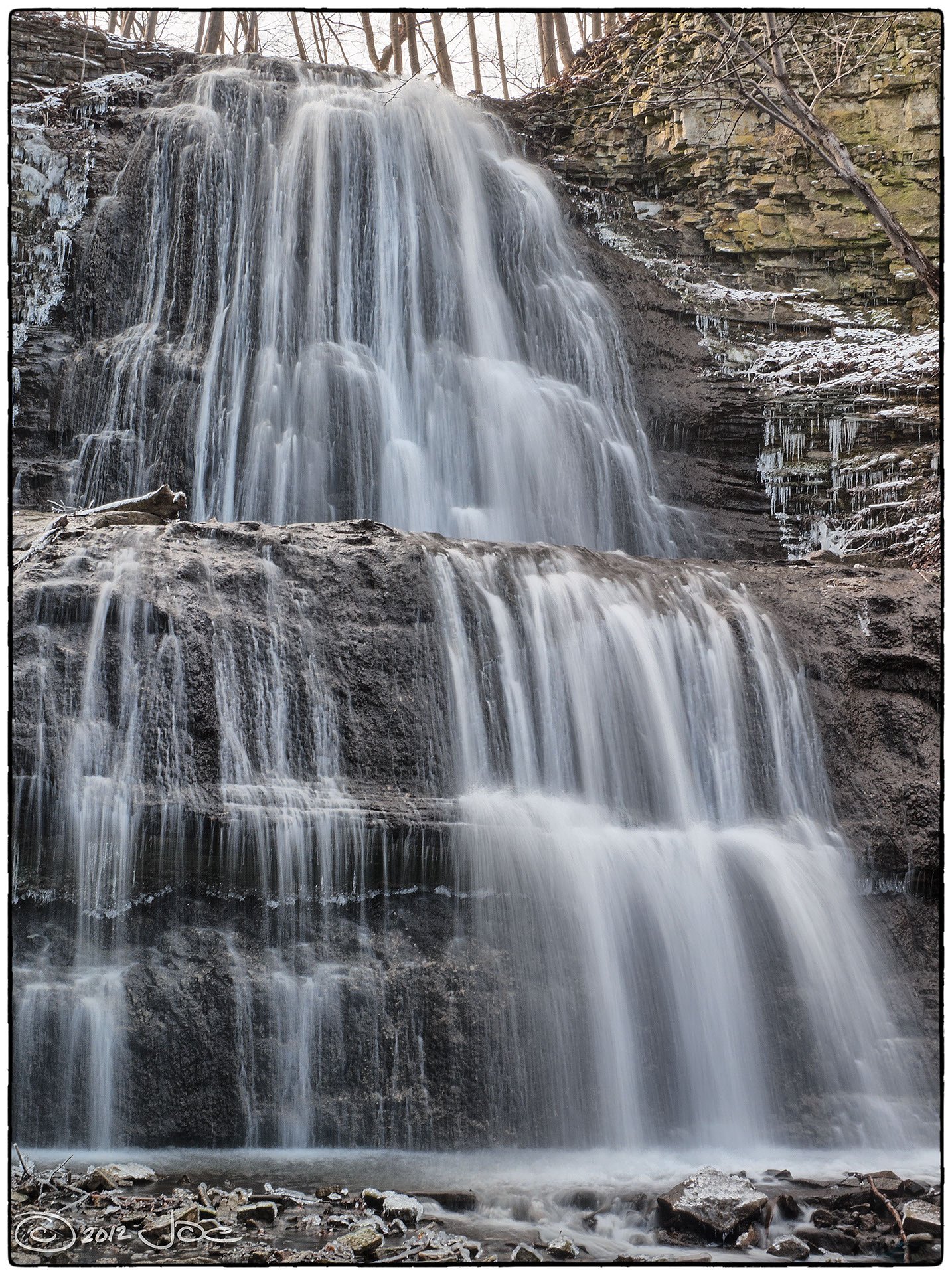
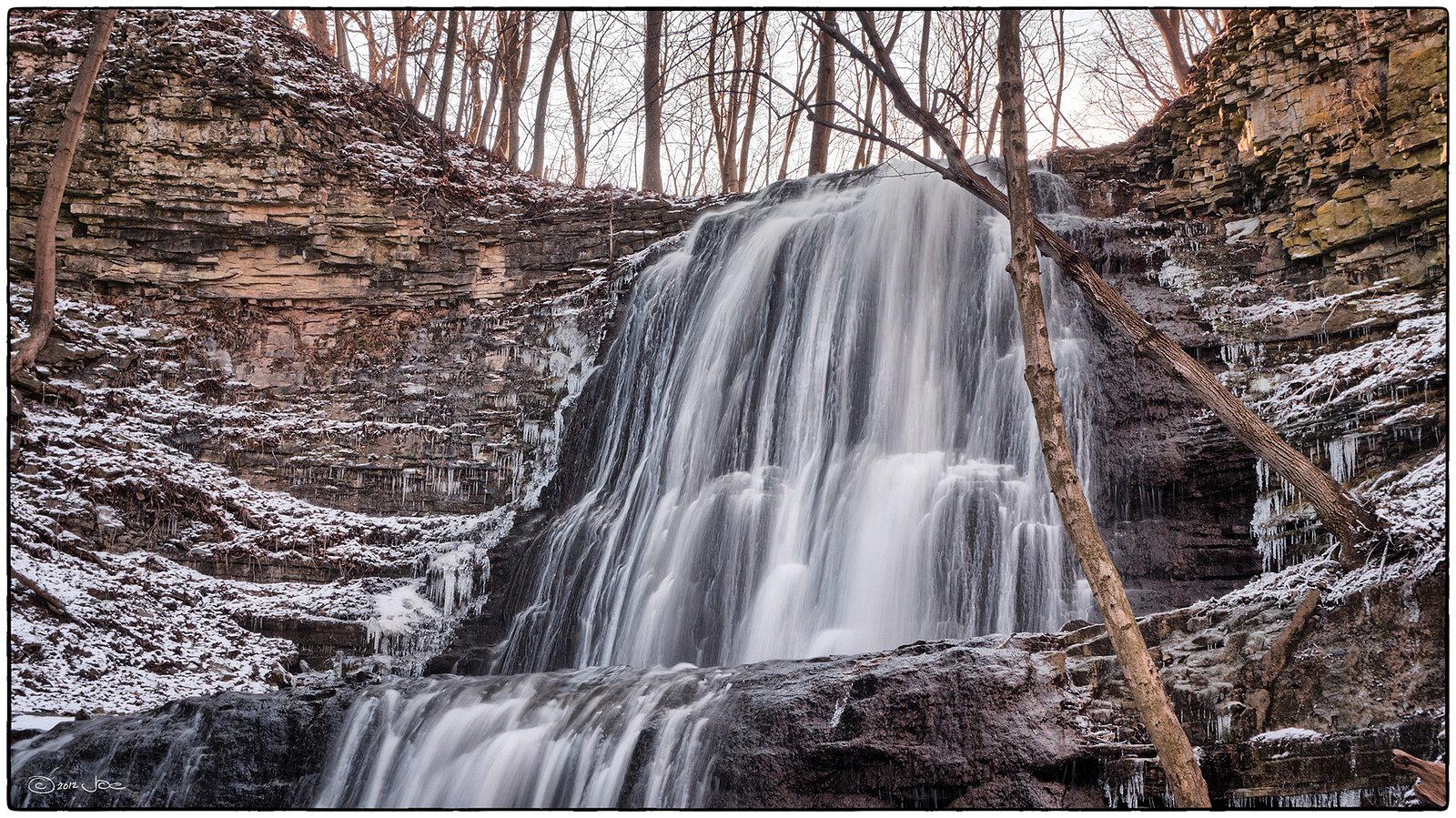
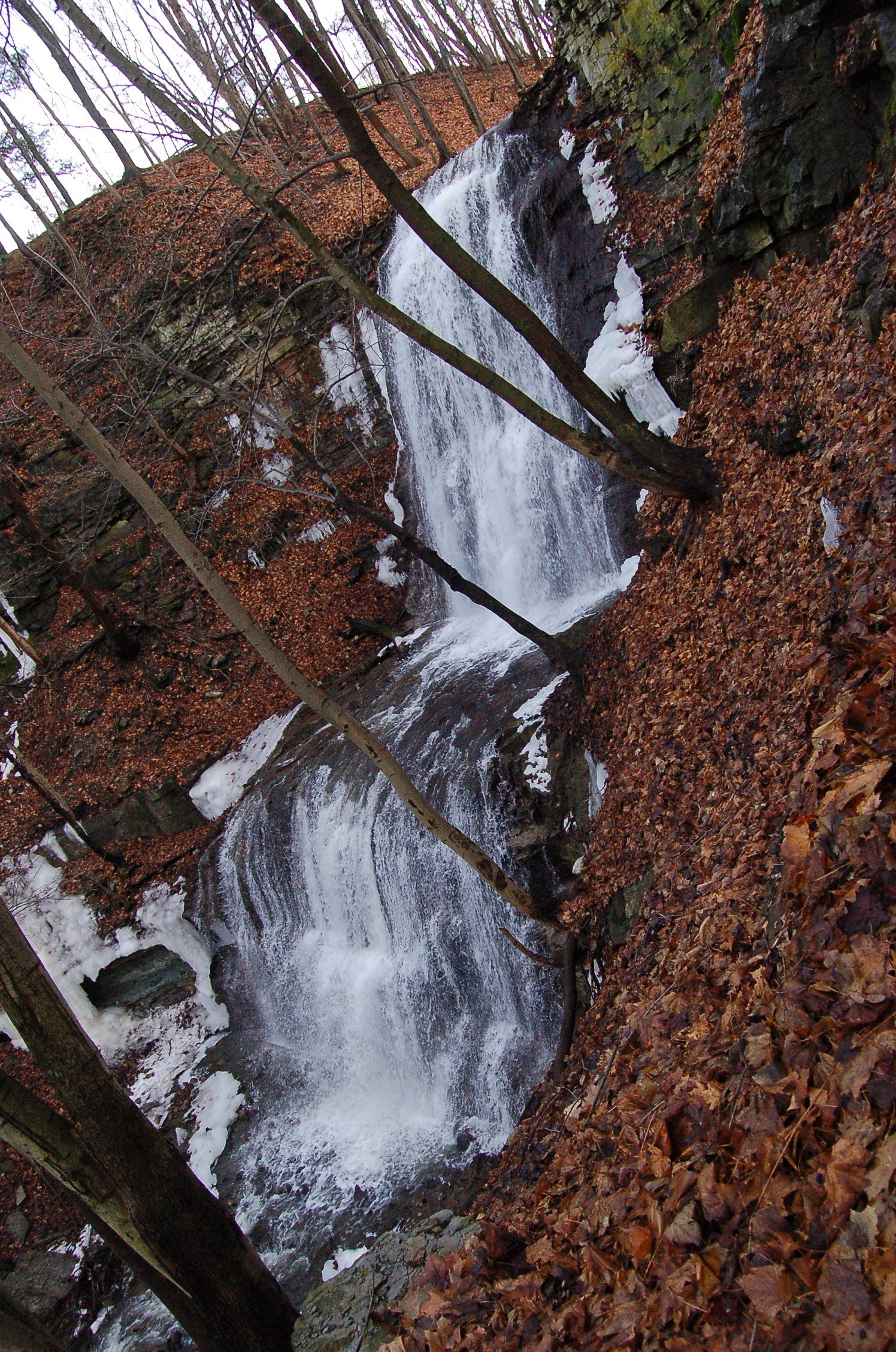
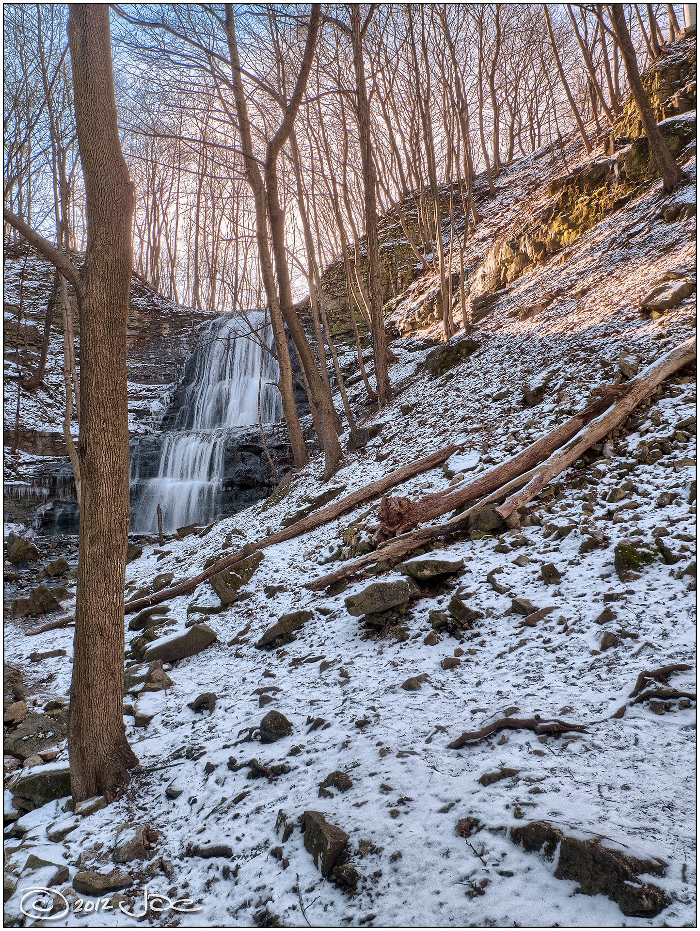
Photo Credits (5)
Difficulty
Moderate
Trail Length
1.9 km
Trail Type
Out And Back
About Little Canterbury Falls
Little Canterbury Falls is a charming, tucked-away cascade in the Dundas Valley Conservation Area, managed by the Hamilton Conservation Authority. Nestled on the Niagara Escarpment, a landscape internationally recognized for its geology and designated a UNESCO World Biosphere Reserve, the falls are one of more than 100 waterfalls in the Hamilton area, many found along or near the Bruce Trail. The setting is typical of the escarpment: wooded ravines, exposed rock, and the mossy, water-carved features that draw photographers and day-hikers alike. Visiting Little Canterbury Falls is a rewarding short-day outing rather than a long trek. The approach is informal and intimate, perfect for those who enjoy quieter, nature-rich spots away from larger, developed conservation-area overlooks. Because the site sits within Dundas Valley Conservation Area, please respect posted rules and stick to established paths to protect the ravine’s sensitive soils and vegetation.
The Setting
Little Canterbury Falls sits at 193 metres within Dundas Valley Conservation Area, in the foothills of Ontario. The falls drop 5 metres.
Height: 16 feet
Nearby Falls Worth Visiting
Sherman Falls (17 m) lies 0.6 kilometres to the east. Also nearby: Canterbury Falls (9 m, 0.0 km) and Old Dundas Road Falls (7 m, 0.8 km).
Trail & Hike Details
Trail Description
Trail access to Little Canterbury Falls may be a short, unmarked path through wooded terrain and over uneven ground. Expect roots, rocks, and potentially steep or muddy sections near the ravine edge. Trails in the immediate area may be informal and not maintained to the standard of larger conservation area trails. Follow established footpaths where present and avoid creating new routes.
What to Expect
The falls drop a gentle 5 metres.
Accessibility
The trail is not wheelchair accessible. Uneven terrain and elevation changes require steady footing.
Frequently Asked Questions
🐶 Are Dogs Allowed at Little Canterbury Falls?
❌ Dogs are not allowed
Are There Any Fees or Permits Required?
🆖 No fees required
🏊 Is There Swimming at Little Canterbury Falls?
❌ Swimming is not allowed
When to Visit
Spring (late March–May) for highest flows and spring runoff; fall for foliage color and cooler conditions. Summer is fine but flows may be lower. Winter can produce ice formations but presents increased hazards (icy trails, falling ice).
Seasonal Access
The best time to visit is Spring, Summer, Fall, and Winter. Check with Dundas Valley Conservation Area for current conditions.
Safety Information
Hazards can include slippery rocks, steep drop-offs, variable water flows, and unstable edges. Never climb or stand on wet bedrock near the edge. Avoid going near the falls during or immediately after heavy rain due to sudden increases in flow and flashiness. Winter brings ice hazards and falling ice; use extreme caution and appropriate gear. Cell service may be limited, tell someone your plans and expected return time. Check local conservation authority or municipal advisories before visiting.
Current Water Conditions
These readings come from the Water Survey of Canada gauge on Ancaster Creek, 0.8 km away, not on Little Canterbury Falls's own stream. Use them as a sign of whether the area is running wet or dry.
0.1 m³/s
Current discharge — how much water is flowing
About average for this time of year
Based on 34 years of record
0.12 m
Water depth at gauge
7-Day Discharge Trend
What does this mean for your visit?
Flow is about average for this time of year.
About This Gauge
7-Day Flow Outlook
Based on the WSC gauge ANCASTER CREEK AT ANCASTER (1 km away).
Today
Moderate
0.1 m³/s
8/10Tomorrow
Moderate
0.0 m³/s
6/10Sat
Moderate
0.0 m³/s
6/10Sun
Moderate
0.0 m³/s
6/10Mon
Moderate
0.0 m³/s
6/10Tue
Moderate
0.0 m³/s
6/10Wed
Moderate
0.1 m³/s
5/10Best window: Today — moderate flow, mainly sunny (trip score 8/10).
Best time of year: this gauge typically runs highest from early March to late May, peaking in April.
How we calculate this
This is a transparent outlook, not a precise forecast. We take the waterfall's current flow strength (how it ranks against its historical normal for today, from the nearest WSC stream gauge), carry that ranking forward along the gauge's seasonal curve, and nudge it for forecast rain. Confidence is highest for the next day or two and falls further out. Always check official conditions and your own judgment before visiting — high flows can be dangerous.
Know when to go.
Get a free email alert when waterfalls near Hamilton hit peak flow. We only send when conditions are worth the trip — no weekly newsletters, no spam.
Weather Forecast
Location & Access
Getting There
Coordinates: 43.2369, -79.98. Located roughly 6.1 miles from downtown Hamilton (and ~31 miles from Kitchener). Use GPS coordinates or a local map app to navigate. Exact official access points are not well-documented; visitors often access the area from nearby local roads or small conservation-area parking. Confirm current access with local conservation authority or municipality before visiting.
Get Directions on Google MapsParking
Parking may be limited or informal (roadside pullouts or small lots). There may not be a formal parking lot immediately adjacent to the falls; plan to park legally and walk a short distance. Avoid blocking driveways or gated access.
Elevation
193 metres above sea level
Coordinates
43.236921° N, -79.980025° W
Land Management
Managed by Hamilton Conservation Authority
Visitor Tips & Gear
• Use the GPS coordinates to plan your route and confirm access with local authorities. • Wear sturdy, closed-toe shoes with good tread; trekking poles can help on steep/uneven ground. • Stay back from cliff edges and avoid walking on slick wet rocks. • Respect private property, some access routes may cross private land. • Bring insect repellent in warmer months and check for ticks after the visit. • Pack out all trash and follow Leave No Trace principles. • If visiting in winter, be aware of icefall and unstable frozen edges; use traction devices if needed.
Where to Stay
Browse vacation cabins and private rentals nearby
Unique outdoor stays — tents, yurts, and treehouses
Rent a campervan or RV for your waterfall road trip
Some links are affiliate links. We may earn a commission at no extra cost to you.
Nearby Campground
circle square ranch
15.2 km away
Additional Information
Nearby Attractions
The Hamilton area is known for many waterfalls and conservation areas. Nearby well-known falls in the broader region include Webster Falls and Albion Falls (Hamilton), these are larger, better-signed falls with established parking and trails. Use local waterfall guides or conservation authority resources to plan multi-site visits.
Wildlife
Expect common southern Ontario wildlife: songbirds, small mammals (squirrels, raccoons), white-tailed deer, and occasional reptiles or amphibians near water. Be aware of ticks in warmer months.
Cities near Little Canterbury Falls
Nearby Waterfalls
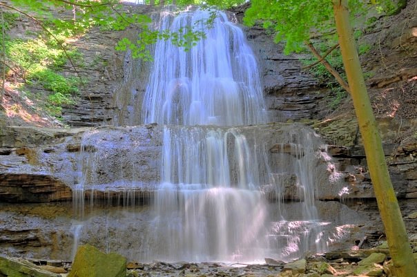
Writing about Little Canterbury Falls? Embed this waterfall on your site for free.