Kettle Falls
Ontario • Missinaibi Provincial Park • 2 m
By Armen Suny · Last verified Jun 2026
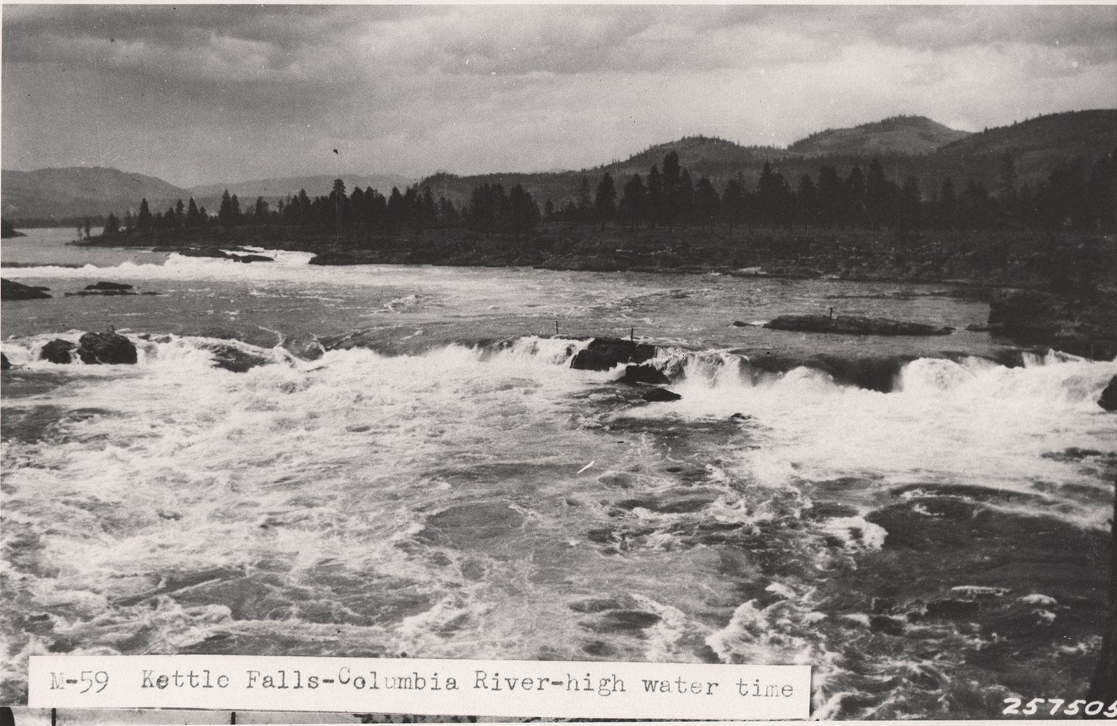
Photo Credits (5)
About Kettle Falls
Kettle Falls is a remote, likely modest-sized cascade located in northern Ontario near Hearst (approx. 23.1 miles) and Kapuskasing (approx. 51.3 miles). Coordinates: 49.7857, -83.2186. The feature appears to be reached via secondary or forestry roads and may require a short walk or rough roadside approach. Flow is typically highest in spring (snowmelt) and after heavy rains; in winter it may be partly or fully frozen. Specific measured height and formal infrastructure (viewing platform, signage) are not documented here and may be absent.
The Setting
Kettle Falls sits at 197 metres within Missinaibi Provincial Park, in the foothills of Ontario. The falls drop 2 metres.
Why This Waterfall Exists
Kettle Falls flows over hard banded metamorphic rock, primarily gneiss, laid down over 2.5-2.8 billion years ago. These resistant rocks form a durable ledge that water cannot easily wear away, creating a 7-foot drop where softer material downstream has already eroded.
Trail & Hike Details
Trail Description
There does not appear to be a developed, maintained trail with official mileage information. Approach is likely a short bushwhack or walk from a roadside pullout across uneven, sometimes boggy terrain. Expect roots, rocks, and possible low scrub; footing can be slippery near the stream and falls. If an informal path exists it may be faint and not well-marked.
What to Expect
The falls drop a gentle 2 metres over hard banded metamorphic rock.
Accessibility
Likely not wheelchair or stroller accessible. No developed trails, boardwalks, or facilities are expected. Access requires negotiating uneven, natural terrain.
Frequently Asked Questions
🐶 Are Dogs Allowed at Kettle Falls?
❌ Dogs are not allowed
Are There Any Fees or Permits Required?
🆖 No fees required
🏊 Is There Swimming at Kettle Falls?
❌ Swimming is not allowed
When to Visit
Late spring (during and just after snowmelt) for highest flows and early fall for foliage color. Summer is accessible but flows may be lower; winter offers ice formations but requires winter travel skills and traction.
Seasonal Access
The best time to visit is Spring, Summer, Fall, and Winter. Check with Missinaibi Provincial Park for current conditions.
Safety Information
This is a remote location, expect limited or no cell service. Roads to the site may be unpaved and rough; they can be impassable after heavy rain or during spring thaw. Rocks and banks near the falls are slippery; falling into cold water can result in hypothermia and strong currents may be present out of sight. Wildlife encounters (including bears and moose) are possible, carry bear spray, store food securely, and know local wildlife safety practices. Summer insect levels can be high. Avoid approaching cliff edges, and do not climb on unstable rocks. If you plan winter visits, bring appropriate winter travel equipment and traction and be prepared for extreme cold.
Current Water Conditions
26.4 m³/s
Current discharge — how much water is flowing
Lower than usual for this time of year
Based on 105 years of record
0.40 m
Water depth at gauge
7-Day Discharge Trend
What does this mean for your visit?
Flow is lower than usual for this time of year.
About This Gauge
This gauge is on a nearby waterway and may not reflect exact conditions at the falls.
7-Day Flow Outlook
Based on the WSC gauge MISSINAIBI RIVER AT MATTICE (20 km away).
Today
Low
27 m³/s
5/10Tomorrow
Moderate
28 m³/s
5/10Tue
Moderate
28 m³/s
5/10Wed
Moderate
27 m³/s
5/10Thu
Moderate
26 m³/s
5/10Fri
Low
23 m³/s
5/10Sat
Low
21 m³/s
5/10Best window: Today — low flow, cloudy (trip score 5/10).
Best time of year: this gauge typically runs highest from mid April to early July, peaking in May.
How we calculate this
This is a transparent outlook, not a precise forecast. We take the waterfall's current flow strength (how it ranks against its historical normal for today, from the nearest WSC stream gauge), carry that ranking forward along the gauge's seasonal curve, and nudge it for forecast rain. Confidence is highest for the next day or two and falls further out. Always check official conditions and your own judgment before visiting — high flows can be dangerous.
Know when to go.
Get a free email alert when waterfalls near Hearst hit peak flow. We only send when conditions are worth the trip — no weekly newsletters, no spam.
Weather Forecast
Location & Access
Getting There
From Hearst (approx. 23.1 miles) or Kapuskasing (approx. 51.3 miles) drive on regional highways to nearby secondary/forestry roads. Access likely involves unpaved roads that may be rough, especially after rain, a high-clearance vehicle is often advisable. Exact parking/approach points are not formally signed; carry reliable maps (offline GPS) and plan for limited cell coverage.
Get Directions on Google MapsParking
Parking is likely informal, roadside pullout or small unmarked clearing. Expect no official lot or facilities. Park well off the travel lane and avoid blocking logging or landowner access. Conditions may be muddy or soft after rain.
Elevation
197 metres above sea level
Coordinates
49.785748° N, -83.218644° W
Land Management
Managed by Ontario Parks
Visitor Tips & Gear
1) Use offline maps and save the coordinates (49.7857, -83.2186). 2) Travel in a high-clearance vehicle if using forestry roads; avoid low-clearance cars in wet conditions. 3) Wear sturdy, waterproof boots and traction for icy or wet rock near the falls. 4) Carry bug spray and long sleeves in summer. 5) Let someone know your plans; expect limited cell coverage. 6) Be cautious near water, banks and rocks are slippery. 7) Respect private property and active logging operations, do not trespass.
Where to Stay
Browse vacation cabins and private rentals nearby
Unique outdoor stays — tents, yurts, and treehouses
Rent a campervan or RV for your waterfall road trip
Some links are affiliate links. We may earn a commission at no extra cost to you.
Additional Information
Nearby Attractions
Nearest towns: Hearst (approx. 23 miles) and Kapuskasing (approx. 51 miles). The region includes extensive boreal forest, rivers and lakes for fishing, paddling and backcountry exploration. Specific nearby provincial parks or named attractions are not confirmed for this exact coordinate, check local tourism offices in Hearst or Kapuskasing for up-to-date nearby destinations.
Wildlife
Possible moose, black bear, white-tailed deer, beaver, wolves/coyotes, and a variety of songbirds and waterbirds. Insect hazards include mosquitoes and black flies in warmer months; ticks may be present.
Cities near Kettle Falls
Other waterfalls named Kettle Falls
2 other waterfalls share this name across Canada.
Writing about Kettle Falls? Embed this waterfall on your site for free.