Difficulty
Moderate
Trail Length
6.1 km
Trail Type
Out And Back
Elevation Gain
323 m
About Frayne Falls
Frayne Falls is a small, forested cascade located southeast of Revelstoke, British Columbia (approx. 14.9 miles / coordinates 50.8267, -118.0304). It appears to be on a tributary in a mountain valley and is not a major developed tourist site; reports indicate a remote, natural setting with limited infrastructure. Flow is likely seasonal to snowmelt-driven (highest in spring and early summer) and can be reduced in late summer or frozen/icy in winter. Detailed, authoritative information on exact height, watershed name, and established trailheads is limited in public sources, so visitors should plan for minimal signage and possible cross-country travel or use of forest service roads.
Why This Waterfall Exists
Frayne Falls flows over layered sedimentary rock laid down about 252 million to 1.0 billion years ago. Over time, the stream has worn through these layers at different rates, creating the step that forms the waterfall.
Nearby Falls Worth Visiting
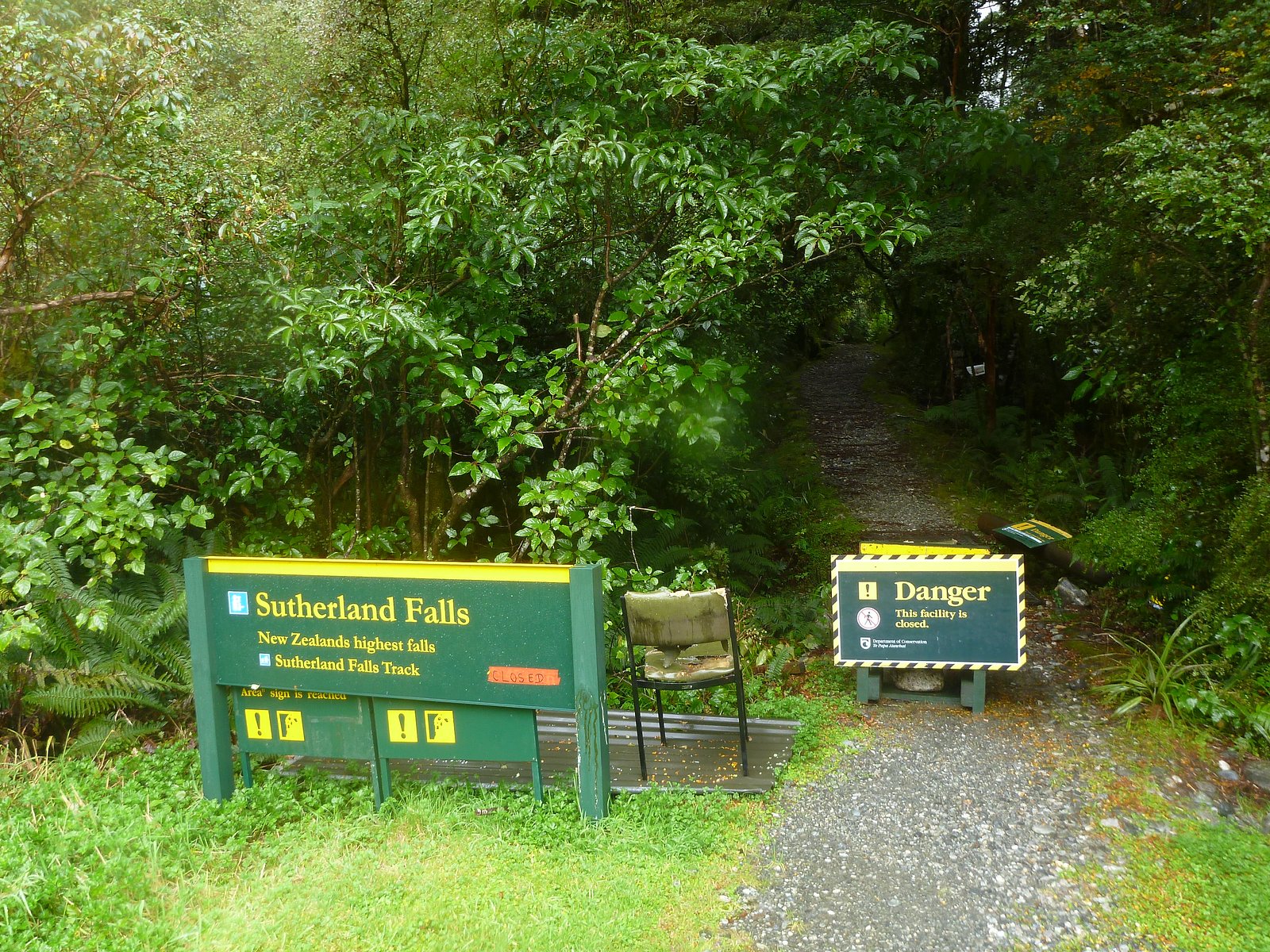
Mulvehill Creek Fall (100 m) lies 6.8 kilometres to the west. Also nearby: Sutherland Falls (14 m, 4.3 km).
Trail & Hike Details
The Approach
The moderate 6.1-km out-and-back trail gains 323 metres of elevation on the way to the falls.
Trail Description
There is no widely published, maintained trail description for Frayne Falls. Visitors should expect an unmarked or lightly used route approaching through mixed forest and possibly across rough forest-service roads. Reaching the best viewpoints may require short bushwhacks or scrambling on uneven, possibly muddy or rocky ground. If there is an approach trail, it is likely short but not formally maintained.
What to Expect
A remote, natural waterfall setting with limited infrastructure or signage. Expect variable flow depending on season (peak in spring/early summer). Terrain near the falls may include steep, slippery banks, wet rocks, downed timber, and dense vegetation. Wildlife common to the Revelstoke region (black bears, deer, small mammals) may be present. Mobile reception may be limited.
Accessibility
The trail involves steep, uneven terrain with significant elevation change and is not accessible to mobility devices.
Frequently Asked Questions
🐶 Are Dogs Allowed at Frayne Falls?
❌ Dogs are not allowed
Are There Any Fees or Permits Required?
🆖 No fees required
🏊 Is There Swimming at Frayne Falls?
❌ Swimming is not allowed
When to Visit
Late spring to early summer for highest flows and most impressive appearance. Summer and early fall can also be good for access and drier conditions. Winter may produce frozen or icy scenes but access can be difficult or unsafe due to deep snow, avalanche hazard, and ice.
Seasonal Access
The best time to visit is Spring, Summer, and Fall. Winter access may be limited. Check with the managing park or local authority for current conditions.
Safety Information
Potential hazards include steep and slippery banks, fast or cold water, loose rock, downed timber, and rapidly changing weather. Forest roads can be rough, gated, or closed; high-clearance or 4x4 vehicles may be required. In winter, avalanche risk and deep snow can make access dangerous. There may be limited or no cell service. Carry appropriate gear, check conditions ahead of time, and err on the side of caution. If unsure about route or conditions, seek local guidance.
Current Water Conditions
6.4 m³/s
Current discharge — how much water is flowing
About average for this time of year
Based on 19 years of record
24.55 m
Water depth at gauge
7-Day Discharge Trend
What does this mean for your visit?
Flow is about average for this time of year.
About This Gauge
7-Day Flow Outlook
Based on the WSC gauge CRANBERRY CREEK ABOVE B.C. HYDRO INTAKE (5 km away).
Today
Moderate
6.4 m³/s
8/10Tomorrow
Moderate
5.8 m³/s
6/10Tue
Moderate
5.5 m³/s
6/10Wed
Moderate
5.5 m³/s
6/10Thu
Moderate
5.7 m³/s
5/10Fri
Moderate
6.3 m³/s
5/10Sat
Moderate
5.7 m³/s
6/10Best window: Today — moderate flow, mainly sunny (trip score 8/10).
Best time of year: this gauge typically runs highest from early May to early August, peaking in June.
How we calculate this
This is a transparent outlook, not a precise forecast. We take the waterfall's current flow strength (how it ranks against its historical normal for today, from the nearest WSC stream gauge), carry that ranking forward along the gauge's seasonal curve, and nudge it for forecast rain. Confidence is highest for the next day or two and falls further out. Always check official conditions and your own judgment before visiting — high flows can be dangerous.
Know when to go.
Get a free email alert when waterfalls near Revelstoke hit peak flow. We only send when conditions are worth the trip — no weekly newsletters, no spam.
Weather Forecast
Location & Access
Getting There
General approach is from the Revelstoke area heading southeast along the Trans-Canada Highway (BC-1) toward the coordinates 50.8267, -118.0304. Access likely requires driving onto secondary/forest-service or logging roads and then hiking; some sections may be rough and require a high-clearance vehicle. Exact access routes and trailheads are not well-documented, check local maps, recent trip reports (AllTrails, local hiking forums), and regional forest service bulletins before you go.
Get Directions on Google MapsParking
No formal parking lot is confirmed. Expect limited roadside pullouts or informal parking near a forest road. Park well off the highway where permitted and avoid blocking gates or access roads. If unsure, treat parking as minimal/primitive and plan to walk additional distance.
Elevation
575 metres above sea level
Coordinates
50.826733° N, -118.030359° W
Visitor Tips & Gear
• Check recent trip reports (AllTrails, regional hiking forums) and BC provincial/forest service notices for road conditions and closures. • Use the provided coordinates in a reliable GPS device. • Bring a map, compass or offline map app, routes may be unmarked. • Use a high-clearance vehicle for forest roads and avoid travel after heavy rain. • Wear sturdy, waterproof footwear; expect slippery rocks and uneven terrain. • Tell someone your route and expected return time. • Be bear aware: carry bear spray and know how to use it. • Avoid cliff edges and do not climb near unstable rock or frozen waterfalls in winter.
As an Amazon Associate, we earn from qualifying purchases.
With 6.1 km and 323 m of elevation gain, sturdy boots and trekking poles will help on this moderate trail. Sun exposure on the trail makes good sun protection a must in summer.

Columbia Watertight II Rain Jacket
Packs into its own pocket, seam-sealed, and keeps you dry from spray and surprise rain.

Earth Pak Waterproof Dry Bag
Keeps your phone and gear dry when waterfall mist soaks everything else.

Waterproof Phone Pouch (AiRunTech)
Cheap insurance — take photos right next to the falls without killing your phone.

Timberland Euro Sprint Mid Waterproof
Trusted waterproof boot with premium leather and grippy rubber sole — reliable on rocky, wet trails.

TrailBuddy Trekking Poles
Lightweight aluminum, cork grips, and flip-locks that actually hold — a best-seller for good reason.

Sawyer Squeeze Water Filter
The backcountry standard — filters 99.9% of bacteria and weighs just 3 oz.
Where to Stay
Browse vacation cabins and private rentals nearby
Unique outdoor stays — tents, yurts, and treehouses
Rent a campervan or RV for your waterfall road trip
Some links are affiliate links. We may earn a commission at no extra cost to you.
Nearby Campground
Blanket Creek Campground
3.6 km away
Additional Information
Nearby Attractions
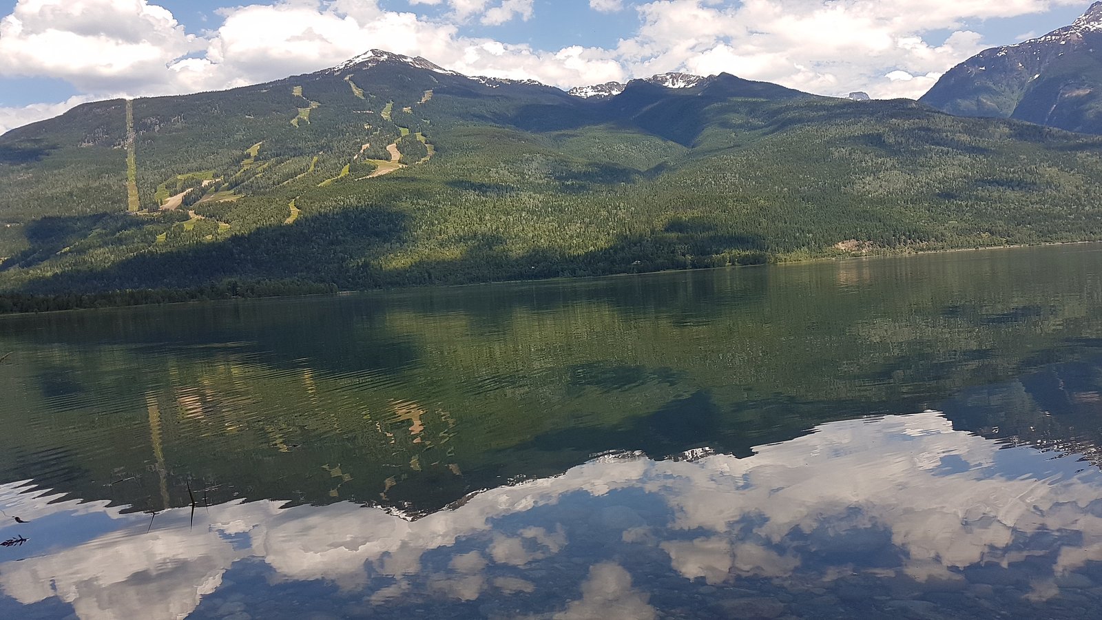
Revelstoke (town) and its amenities; Mount Revelstoke National Park (Meadows in the Sky Parkway, hiking); Revelstoke Mountain Resort; Rogers Pass and Glacier National Park of Canada are regionally nearby and offer many well-known hiking and sightseeing options.
Wildlife
Black bear and possibly grizzly in the broader region, deer, moose, small mammals, and various bird species. Be prepared for encounters and follow wildlife safety best practices.
Cities near Frayne Falls
Nearby Waterfalls
Writing about Frayne Falls? Embed this waterfall on your site for free.