
Photo Credits (5)
About Four Falls
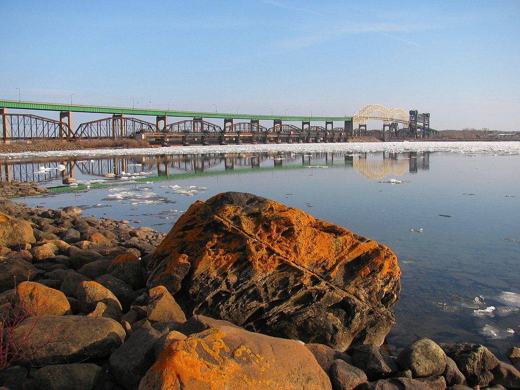
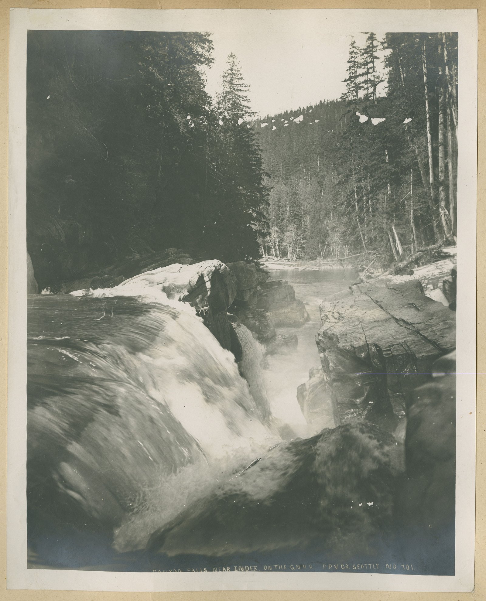
Four Falls is a series of cascades located in northwest Ontario (coordinates 48.302, -91.0638). The site appears to be a remote, multi-drop waterfall system set in a rocky, forested river corridor. Flow and appearance are highly seasonal, highest in spring snowmelt and after heavy rains, more subdued in late summer. Access is not obviously developed and may require travel on secondary/logging roads and a short unmaintained trail or scramble to reach viewpoints. Exact measured height and formal park infrastructure are not confirmed.
The Setting
Four Falls sits at 429 metres within Quetico Provincial Park, in the foothills of Ontario.
Why This Waterfall Exists
Four Falls flows over hard intrusive rock, primarily granodiorite and granite, laid down over 2.5-3.2 billion years ago. These resistant rocks form a durable ledge that water cannot easily wear away, creating the falls where softer material downstream has already eroded.
Nearby Falls Worth Visiting
Little Falls (12 m) lies 3.5 kilometres to the west. Also nearby: Canyon Falls (9 m, 4.7 km).
Trail & Hike Details
Trail Description
There is no widely published, maintained trail description for Four Falls. Expect an unmarked or minimally maintained path from a roadside pullout to river-edge viewpoints, possibly including short bushwhacks, rock scrambles, and uneven footing. The route may be steep in places and can be muddy or icy depending on season. Trail length and elevation gain are not reliably documented, visitors should be prepared for a remote, backcountry-style approach.
What to Expect
Multiple cascades dropping through a rocky gorge or series of ledges; variable flow with highest water in spring. Forested surroundings (typical boreal mixed forest) and limited facilities. Limited or no signage, no restrooms, and little to no cell coverage in parts. Wildlife (moose, black bear, deer) may be present. Rocks near the water will be slippery; standing near the edge can be hazardous.
Accessibility
Likely not wheelchair or stroller accessible. Terrain appears to be natural, uneven, and may require scrambling; not suitable for visitors with limited mobility unless a specific, accessible viewpoint is developed (not documented).
Frequently Asked Questions
🐶 Are Dogs Allowed at Four Falls?
❌ Dogs are not allowed
Are There Any Fees or Permits Required?
🆖 No fees required
🏊 Is There Swimming at Four Falls?
❌ Swimming is not allowed
When to Visit
Late spring (snowmelt/peak flows) for the fullest waterfalls; early summer for good flows with warming weather; fall for foliage and lower crowds. Winter access may be difficult and the falls may be ice-covered, interesting for experienced winter hikers or ice climbers but hazardous for casual visitors.
Seasonal Access
The best time to visit is Spring, Summer, and Fall. Winter access may be limited. Check with Quetico Provincial Park for current conditions.
Safety Information
Remote area with limited services. Hazards include slippery and unstable rock, steep drops, cold and fast-moving water, variable road conditions (mud, washouts), limited cell coverage, and potential wildlife encounters. Use caution near edges, avoid wading into currents, and be prepared for changing weather. If uncertain about access or safety, consult local authorities or experienced local guides before visiting.
Know when to go.
Get a free email alert when waterfalls near Atikokan hit peak flow. We only send when conditions are worth the trip — no weekly newsletters, no spam.
Weather Forecast
Location & Access
Getting There
The waterfall is in a remote part of northwest Ontario. Nearest towns cited are Atikokan (≈45.3 miles), Lutsen, MN (≈46.7 miles), and Winton, MN (≈49.4 miles). Expect long driving approaches on paved highways followed by secondary or logging roads; a high-clearance vehicle may be helpful. Final approach may require a short hike off-road. Use the provided coordinates (48.302, -91.0638) and local maps/GPS to plan route. Confirm road status locally before travel.
Get Directions on Google MapsParking
No formal parking lot is documented. Parking is likely informal at a pullout on a side road or at the trailhead if one exists. Park clear of gates, private driveways, and do not block forestry equipment routes. If there is any nearby roadside parking, it may be rough/unstable.
Elevation
429 metres above sea level
Coordinates
48.301968° N, -91.063801° W
Land Management
Managed by Ontario Parks
Visitor Tips & Gear
1) Tell someone your plan and expected return time; cell service may be unreliable. 2) Bring a map/GPS and the coordinates. 3) Wear sturdy boots with good traction; expect uneven, wet rock. 4) Beware of unstable banks and strong currents, do not underestimate river hazards. 5) Pack out all trash and respect any private property or logging operations. 6) Check weather and recent visitor reports or local forestry/park authorities for road conditions before travel.
Where to Stay
Browse vacation cabins and private rentals nearby
Unique outdoor stays — tents, yurts, and treehouses
Rent a campervan or RV for your waterfall road trip
Some links are affiliate links. We may earn a commission at no extra cost to you.
Additional Information
Nearby Attractions
Within driving distance: the town of Atikokan (gateway to Quetico area), portions of the Lake Superior shoreline and regional provincial parks. Specific nearby attractions are dependent on exact routing and road access; verify local resources for up-to-date suggestions.
Wildlife
Typical boreal/western Great Lakes wildlife may be present: black bear, moose, white-tailed deer, beaver, various birds. Maintain distance from wildlife and secure food and garbage.
Cities near Four Falls
Nearby Waterfalls
Writing about Four Falls? Embed this waterfall on your site for free.