Difficulty
Moderate
Trail Length
8.2 km
Trail Type
Out And Back
Elevation Gain
265 m
About Chute Hélène
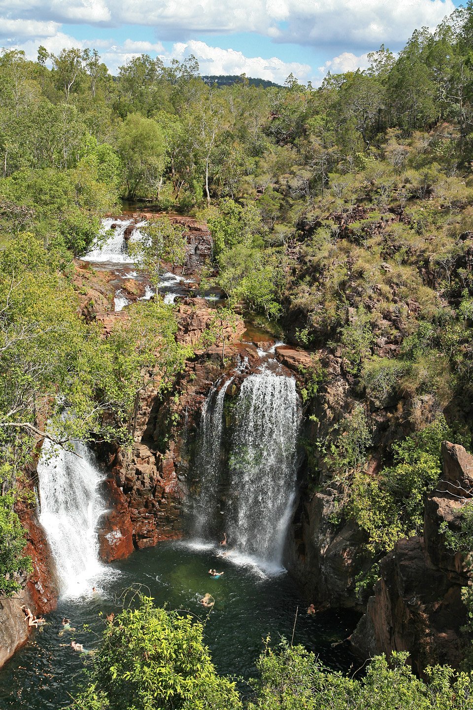
Chute Hélène is a forested, likely seasonal waterfall on a mountain stream in the Gaspésie region of Quebec, located roughly 12.6 miles (≈20 km) from the town of Cap-Chat. The fall sits in a remote, wooded setting and is typically reached by local/forest roads and an informal trail. Water flow may be highest in spring and after heavy rain; winter can produce ice formations but is more hazardous and may restrict access. Specifics about official lookout points, developed infrastructure, and precise measured height are not well documented and appear to be limited in public trail databases.
The Setting
Chute Hélène sits at 427 metres within Chic-Chocs Territorial reserve for protected area purposes, in the foothills of Quebec. At 50 metres, it is among the taller waterfalls in Quebec.
Why This Waterfall Exists
Chute Hélène flows over volcanic rock laid down about 485 million to 1.0 billion years ago. These resistant rocks form a durable ledge that water cannot easily wear away, creating a 164-foot drop where softer material downstream has already eroded.
Trail & Hike Details
The Approach
The moderate 8.2-km out-and-back trail gains 265 metres of elevation on the way to the falls.
Trail Description
Reports and maps do not show a developed, signed trail in many sources. The route to Chute Hélène may involve walking on an informal path through mixed forest and uneven terrain, possibly following the stream channel toward the falls. Expect roots, rocks, and wet/slippery ground near the water. There may be short bushwhacking sections and limited or no trail maintenance. If you find an established trail, it may be a short out-and-back to a viewpoint rather than a full loop.
What to Expect
The falls plunge 50 metres over volcanic rock.
Accessibility
The trail is not wheelchair accessible. Uneven terrain and elevation changes require steady footing.
Frequently Asked Questions
🐶 Are Dogs Allowed at Chute Hélène?
❌ Dogs are not allowed
Are There Any Fees or Permits Required?
🆖 No fees required
🏊 Is There Swimming at Chute Hélène?
❌ Swimming is not allowed
When to Visit
Spring (snowmelt and higher flows) and early summer (accessible trails, fuller water flow) are typically the best balance of scenery and safety. Fall offers color and generally stable weather but lower flows. Winter can create dramatic ice features but presents higher risk from ice, snow, and cold; only attempt with proper winter skills and equipment.
Seasonal Access
The best time to visit is Spring, Summer, Fall, and Winter. Check with the managing park or local authority for current conditions.
Safety Information
Hazards can include slippery rocks, steep drop-offs, unstable riverbanks, cold and fast-moving water, seasonal flash flows after heavy rain, variable road conditions (unpaved/rough), limited cell service, and wildlife encounters. Winter conditions increase risk due to ice, deep snow, and avalanche potential in some areas. No guaranteed rescue or ranger presence, carry emergency supplies and inform someone of your route and expected return. When in doubt, choose the safer option and avoid approaching edges or climbing on wet rocks.
7-Day Flow Outlook
Based on the WSC gauge SAINTE-ANNE (RIVIERE) A 9,7 KM EN AMONT DU PONT-ROUTE 132 (29 km away).
Best time of year: this gauge typically runs highest from mid April to late June, peaking in May.
How we calculate this
This is a transparent outlook, not a precise forecast. We take the waterfall's current flow strength (how it ranks against its historical normal for today, from the nearest WSC stream gauge), carry that ranking forward along the gauge's seasonal curve, and nudge it for forecast rain. Confidence is highest for the next day or two and falls further out. Always check official conditions and your own judgment before visiting — high flows can be dangerous.
Know when to go.
Get a free email alert when waterfalls near Cap-Chat hit peak flow. We only send when conditions are worth the trip — no weekly newsletters, no spam.
Weather Forecast
Location & Access
Getting There
Coordinates: 48.8449, -66.7058. From Cap-Chat (≈12.6 miles), access typically requires driving on provincial and local roads, possibly including gravel or forest/logging roads. The final approach may be a short unmarked spur or informal parking area; a high-clearance vehicle may be helpful in poor weather. Expect limited signage; use GPS coordinates and local maps. Check local sources (municipality or park service) for seasonal road closures.
Get Directions on Google MapsParking
No confirmed formal parking lot. Parking is likely a roadside pullout or informal area near the trailhead. Park well off the travelled road, do not block gates or driveways, and respect private property. Parking conditions may vary with season and recent logging activity.
Elevation
427 metres above sea level
Coordinates
48.844899° N, -66.705798° W
Land Management
Managed by Ministère de l'Environnement, de la Lutte contre les changements climatiques, de la Faune et des Parcs, Direction des aires protégées
Visitor Tips & Gear
• Use the provided GPS coordinates and confirm local access before you go. • Wear sturdy, waterproof footwear with good traction; expect mud and wet rocks. • Bring a map or offline navigation, cellular reception may be spotty. • Respect private property and forestry operations; observe posted signs and gates. • Do not rely on marked trails or facilities; plan for a minimal-infrastructure visit. • Avoid getting too close to edges; wet rock and hidden drop-offs are hazardous. • Pack out all trash and follow Leave No Trace principles. • In winter, professional-level winter gear and experience are required for icy/avalanche-prone terrain.
As an Amazon Associate, we earn from qualifying purchases.
With 8.2 km and 265 m of elevation gain, sturdy boots and trekking poles will help on this moderate trail. Icy conditions are common in winter — traction cleats are a smart addition.

Columbia Watertight II Rain Jacket
Packs into its own pocket, seam-sealed, and keeps you dry from spray and surprise rain.

Earth Pak Waterproof Dry Bag
Keeps your phone and gear dry when waterfall mist soaks everything else.

Waterproof Phone Pouch (AiRunTech)
Cheap insurance — take photos right next to the falls without killing your phone.

Timberland Euro Sprint Mid Waterproof
Trusted waterproof boot with premium leather and grippy rubber sole — reliable on rocky, wet trails.

TrailBuddy Trekking Poles
Lightweight aluminum, cork grips, and flip-locks that actually hold — a best-seller for good reason.

Kahtoola MICROspikes
Cult-favorite traction cleats that grip ice and wet rock — essential for winter waterfall hikes.
Where to Stay
Browse vacation cabins and private rentals nearby
Unique outdoor stays — tents, yurts, and treehouses
Rent a campervan or RV for your waterfall road trip
Some links are affiliate links. We may earn a commission at no extra cost to you.
Nearby Campground
Camping du Ruisseau-Bascon
1.8 km away
Additional Information
Nearby Attractions
The town of Cap-Chat (services, viewpoints) is the nearest settlement. The broader Gaspé Peninsula offers coastal scenery, parks, and hiking; confirm local attractions and distances before planning a combined visit. Specific nearby named tourist sites should be verified with regional tourism resources.
Wildlife
Typical Gaspésie wildlife may be present: white-tailed deer, small mammals, various birds, and potentially black bears. Take standard wildlife precautions: store food securely, make noise while hiking, and maintain distance from animals.
Cities near Chute Hélène
Nearby Waterfalls
Writing about Chute Hélène? Embed this waterfall on your site for free.