Photo Credits (5)
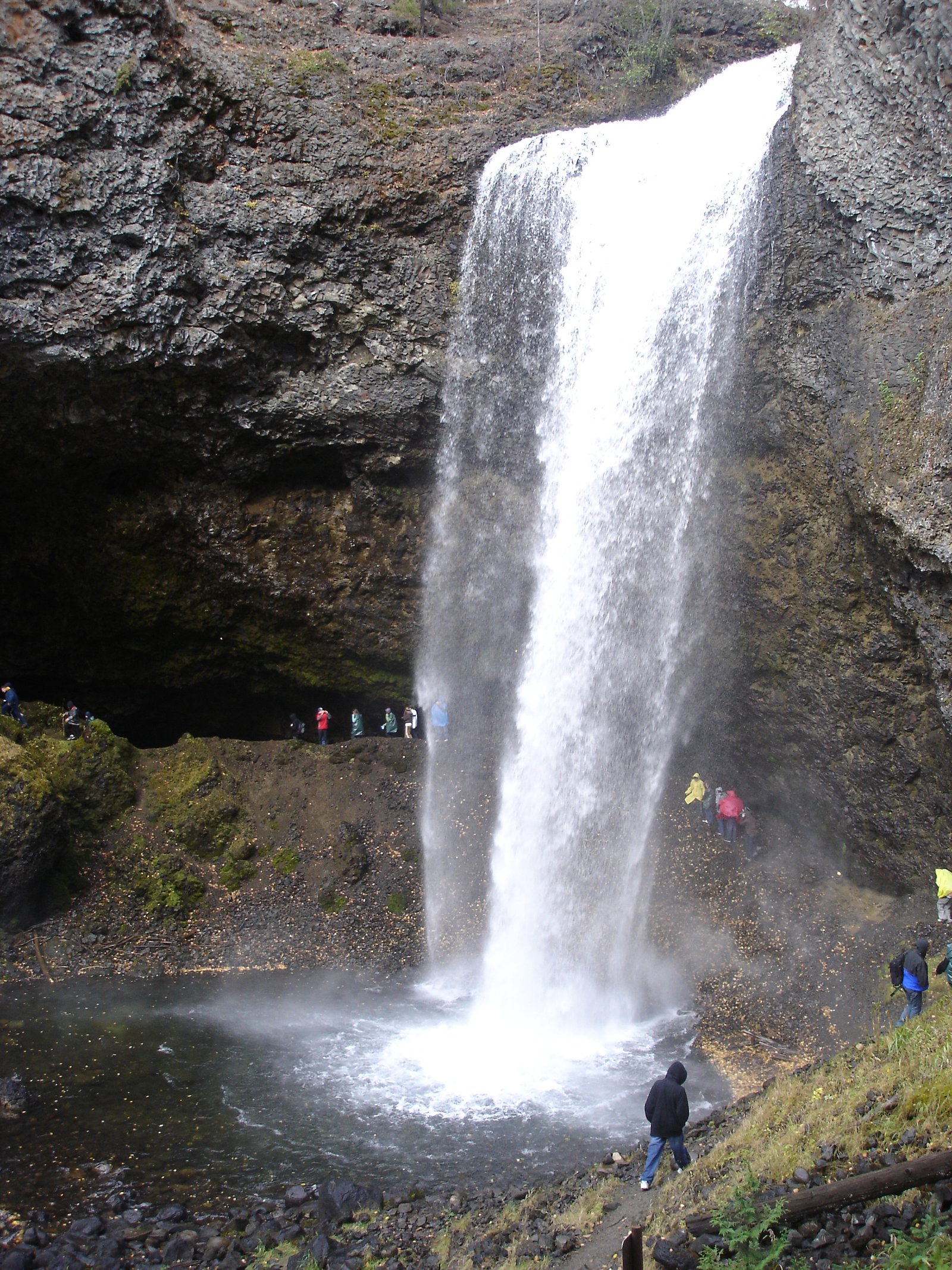
About Are Falls
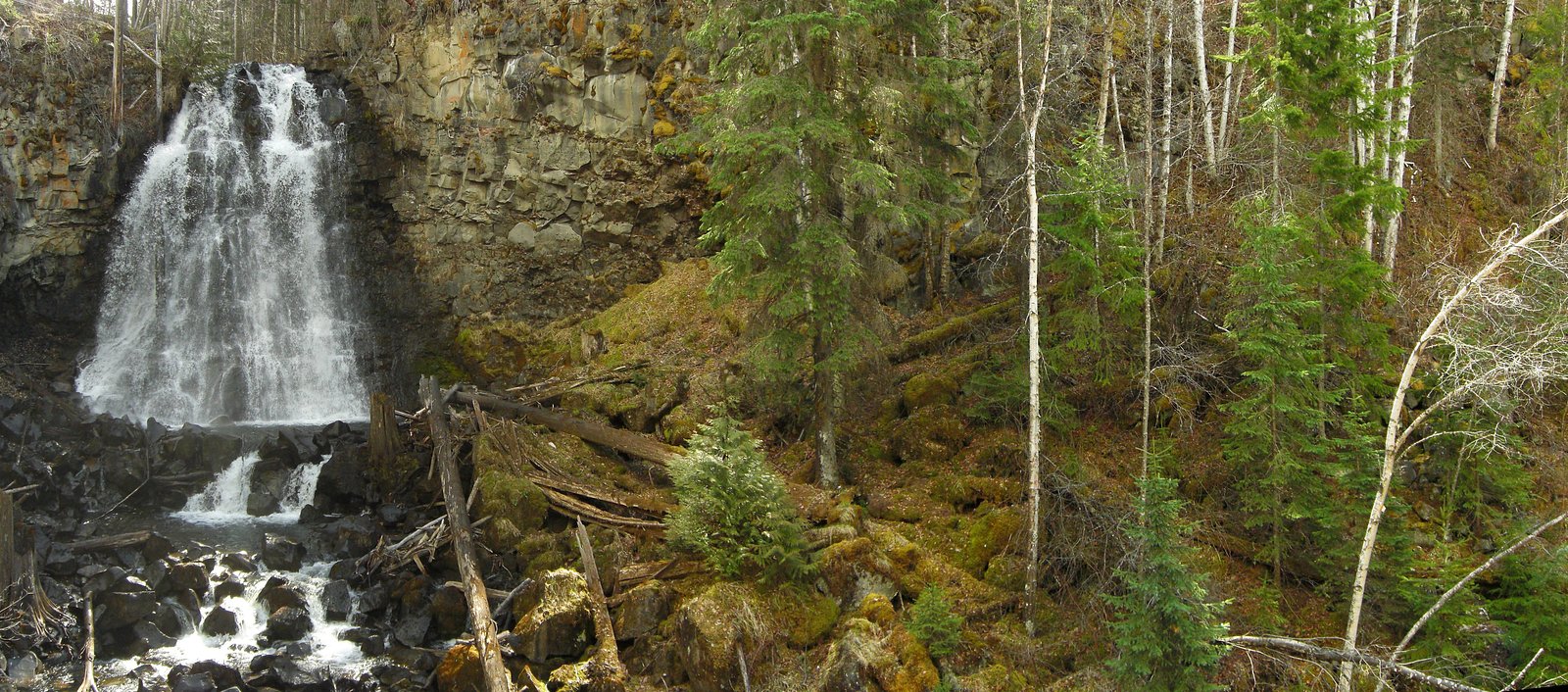
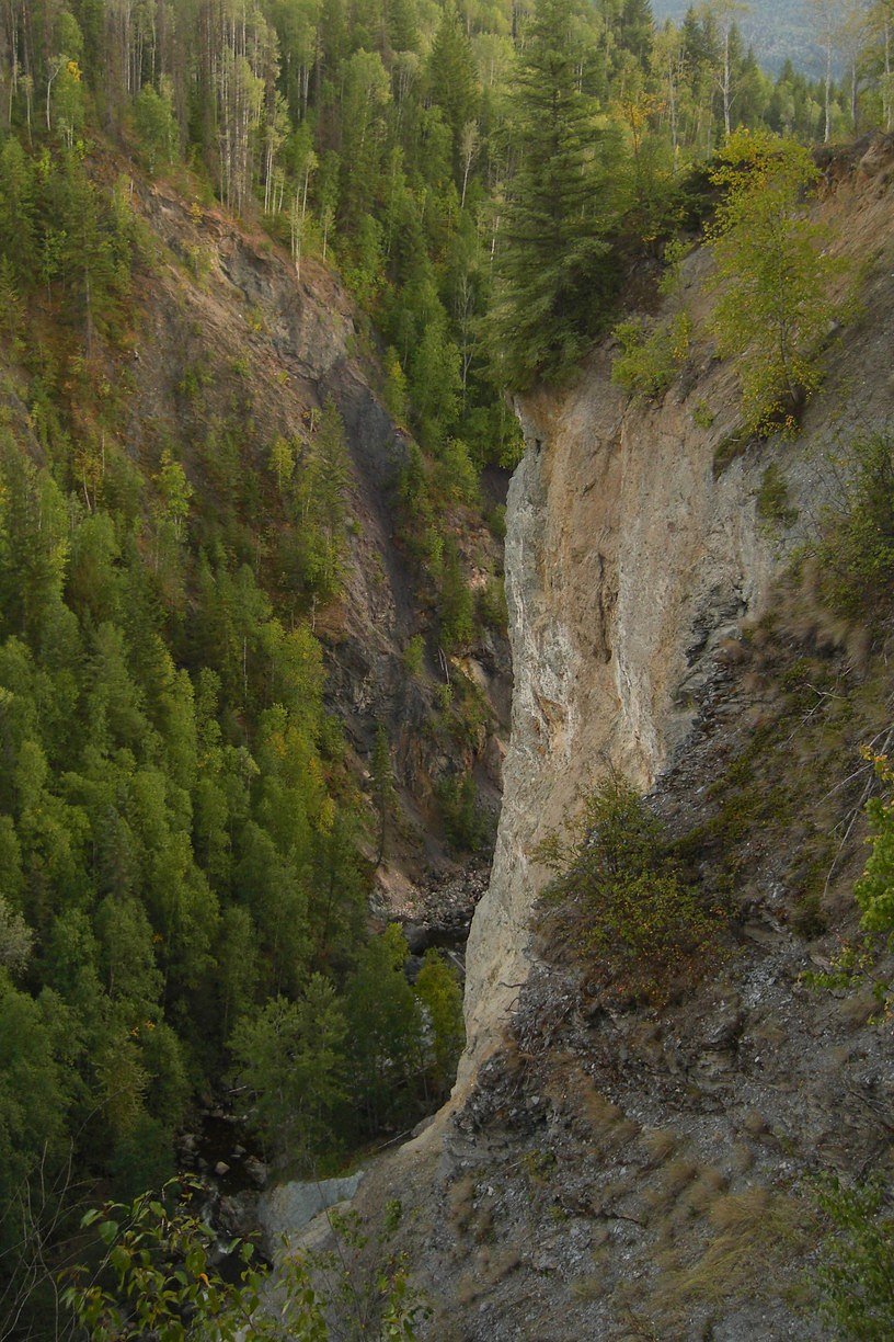
Are Falls is a little-documented waterfall in the interior of British Columbia at approximate coordinates 51.8771, -120.0333. Publicly available information is very limited. The feature appears to be a smaller forested cascade on a local creek and is likely reached by unpaved/forest roads or a short rough trail. Visitors should treat details about access, trail length, and facilities as unconfirmed and verify locally before traveling.
Nearby Falls Worth Visiting
Moul Falls (35 m) lies 4.8 kilometres to the south. Also nearby: McDiarmid Falls (10 m, 5.0 km).
Trail & Hike Details
Trail Description
There is no authoritative published trail description available. Based on the location and common access patterns for similar lesser-known interior-BC falls, expect an unmarked or lightly defined path through conifer forest with variable footing (roots, mud, rocks). Approaches to the brink or pools may be steep and short. Signage, maintained trails, and facilities may be absent.
What to Expect
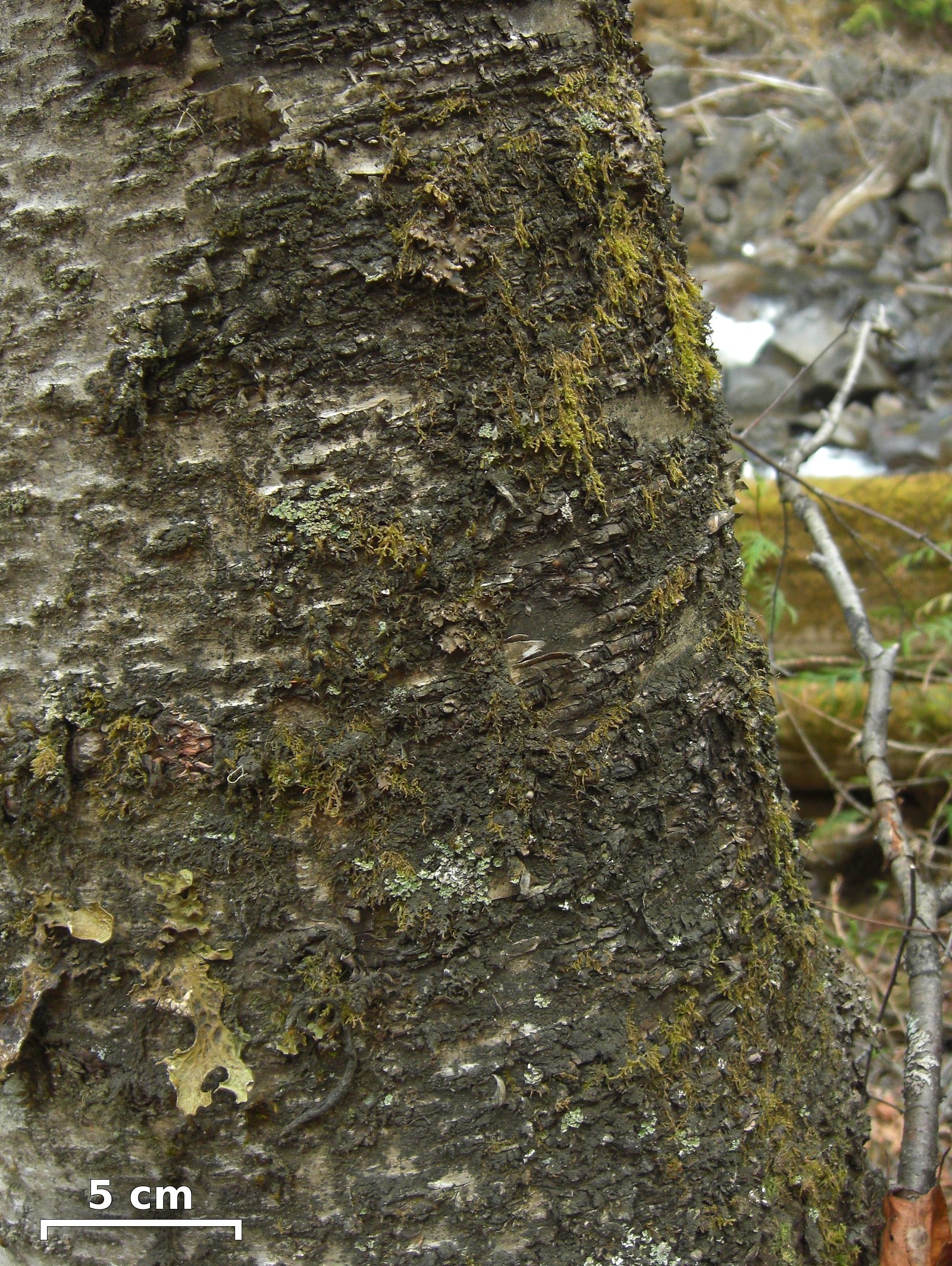
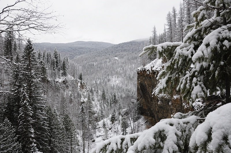
Forested interior-BC setting, likely a narrow cascade or small plunge rather than a large commercialized waterfall. Flow will be highest in spring snowmelt and after heavy rain; late summer flows may be reduced. Expect limited signage, no formal viewing platforms, uneven and potentially slippery terrain, and limited or no cell service.
Accessibility
No accessibility infrastructure is known. Access likely involves uneven, unmaintained paths and is likely not suitable for wheelchairs or strollers.
Frequently Asked Questions
🐶 Are Dogs Allowed at Are Falls?
❌ Dogs are not allowed
Are There Any Fees or Permits Required?
🆖 No fees required
🏊 Is There Swimming at Are Falls?
❌ Swimming is not allowed
When to Visit
Late spring to early summer for highest water flow and dramatic appearance; summer for easier road access and drier trails; fall for lower flows but better foliage. Winter access may be difficult or unsafe due to snow, ice, and closed roads.
Seasonal Access
The best time to visit is Spring, Summer, and Fall. Winter access may be limited. Check with the managing park or local authority for current conditions.
Safety Information
• Slippery rocks and unstable banks near the falls present a serious fall hazard. Stay back from edges and avoid climbing on wet rocks. • Rapidly changing water levels and cold water temperatures can make swimming or wading hazardous, if present, pools may have strong undercurrents or submerged hazards. • Forestry and seasonal roads may be rough, washboarded, or closed; watch for logging traffic and respect closures. • Cell coverage may be unreliable, inform someone of your plans and expected return time. • Weather in the interior can change quickly; be prepared for rain, wind, and temperature shifts. • If unsure about any access or safety detail, contact local authorities (regional district, BC Parks, or nearby ranger offices) prior to travel.
Current Water Conditions
Based on a Water Survey of Canada gauge 24.7 km away
373.0 m³/s
Current discharge — how much water is flowing
About average for this time of year
Based on 87 years of record
3.66 m
Water depth at gauge
7-Day Discharge Trend
What does this mean for your visit?
Flow is about average for this time of year.
About This Gauge
This gauge is on a regional waterway. Conditions at the falls may differ, especially after local rain.
7-Day Flow Outlook
Based on the WSC gauge CLEARWATER RIVER NEAR CLEARWATER STATION (25 km away).
Today
Moderate
403 m³/s
5/10Tomorrow
Moderate
416 m³/s
5/10Tue
Moderate
384 m³/s
8/10Wed
Moderate
356 m³/s
6/10Thu
Moderate
344 m³/s
6/10Fri
Moderate
362 m³/s
5/10Sat
Moderate
381 m³/s
4/10Best window: Tue — moderate flow, mainly sunny (trip score 8/10).
Best time of year: this gauge typically runs highest from early May to early August, peaking in June.
How we calculate this
This is a transparent outlook, not a precise forecast. We take the waterfall's current flow strength (how it ranks against its historical normal for today, from the nearest WSC stream gauge), carry that ranking forward along the gauge's seasonal curve, and nudge it for forecast rain. Confidence is highest for the next day or two and falls further out. Always check official conditions and your own judgment before visiting — high flows can be dangerous.
Weather Forecast
Location & Access
Getting There
Exact public access routes are not well documented. Use the provided GPS coordinates to plan travel and check current conditions. Access may require driving on forestry/seasonal roads; high-clearance vehicles may be helpful. Confirm routing and road status with the regional district, BC Parks, or local land managers before visiting.
Get Directions on Google MapsParking
Likely limited roadside parking or an informal pullout near a trailhead; no developed parking lot is confirmed. Park clear of gateways and signed private property. Expect unpaved surfaces.
Elevation
659 metres above sea level
Coordinates
51.877124° N, -120.033258° W
Visitor Tips & Gear
• Verify access and road conditions before you go, forestry roads can be seasonally closed or gated. • Use the exact GPS coordinates and a reliable offline map; mobile reception may be poor. • Wear sturdy waterproof footwear with good traction; approach areas will be wet and slippery. • Give wildlife (bears, moose) plenty of space; carry bear spray and know how to use it. • Respect private land and posted signs; do not trespass. • Bring insect repellent, mosquitoes and black flies can be heavy in spring/summer. • Leave no trace: pack out all garbage and avoid disturbing streambanks and vegetation.
Where to Stay
Browse vacation cabins and private rentals nearby
Unique outdoor stays — tents, yurts, and treehouses
Rent a campervan or RV for your waterfall road trip
Some links are affiliate links. We may earn a commission at no extra cost to you.
Nearby Campground
Trophy Mountain Buffalo Ranch
6.5 km away
Additional Information
Nearby Attractions
No widely published nearby attractions are confirmed for this exact coordinate. The area is within BC's interior forested landscape; other natural features (rivers, smaller cascades, hiking on forestry roads) may be in the region. Check regional visitor resources for nearby parks and points of interest.
Wildlife
Typical interior British Columbia wildlife may be present: black bear, deer, moose, small mammals, various bird species, and insects (mosquitoes, black flies). Exercise standard wildlife precautions.
Nearby Waterfalls
Writing about Are Falls? Embed this waterfall on your site for free.