
Difficulty
Moderate
Trail Length
2.4 miles
Trail Type
Out And Back
Elevation Gain
350 ft
About Wellhouse Falls
Wellhouse Falls is a quiet, picturesque waterfall in California that rewards visitors with a peaceful, lesser-traveled setting. The approach is pleasantly moderate — the route to the falls covers 2.4 miles with about 350 feet of elevation gain — making it a satisfying half‑day outing for hikers who enjoy a bit of uphill without technical scrambling. If you’re planning to stay nearby, the SAGE HILL campground sits just 1.24 km from the falls, making Wellhouse Falls an easy destination for a morning or evening excursion from camp. Pack sturdy shoes and water, and expect a serene experience away from busier tourist spots.
Nearby Falls Worth Visiting
Tangerine Falls (100 ft) lies 8.4 miles to the southeast.
Trail & Hike Details
The Approach
The moderate 2.4-mile out-and-back trail gains 350 feet of elevation on the way to the falls.
Trail Description
Length: 2.4 miles. Elevation gain: 350 feet. Difficulty: Moderate. Trail type: Out-and-back. Available data does not include a USFS trail name/number or specific surface/grade/class ratings; the trail is documented as a moderate, non-technical route of 2.4 miles with roughly 350 feet of climbing. The SAGE HILL campground is approximately 1.24 km from the falls for nearby overnight options.
What to Expect
Visitors can expect a tranquil environment with natural beauty. The waterfall may have varying flow depending on the season, with spring typically offering the most robust water flow.
Accessibility
The trail is not wheelchair accessible. Uneven terrain and elevation changes require steady footing.
Frequently Asked Questions
🐶 Are Dogs Allowed at Wellhouse Falls?
❌ Dogs are not allowed
Are There Any Fees or Permits Required?
🆖 No fees required
🏊 Is There Swimming at Wellhouse Falls?
❌ Swimming is not allowed
When to Visit
Spring is generally the best time to visit, as the waterfall is likely to have the most water flow due to seasonal rains.
Seasonal Access
The best time to visit is Spring, Summer, and Fall. Winter access may be limited.
Safety Information
Visitors should be cautious of slippery rocks near the waterfall and prepare for uneven terrain. Always check weather conditions before visiting.
Current Water Conditions
4 ft³/s
Current discharge — how much water is flowing
About average for this time of year
Based on 78 years of record
4.09 ft
Water depth at gauge
7-Day Discharge Trend
What does this mean for your visit?
Flow is about average for this time of year.
About This Gauge
7-Day Flow Outlook
Based on the USGS gauge SANTA YNEZ R BL LOS LAURLS CYN NR SNTA YNEZ CA (7 km away).
Today
Moderate
3 cfs
8/10Tomorrow
Moderate
15 cfs
8/10Tue
Moderate
8 cfs
8/10Wed
Moderate
3 cfs
8/10Thu
Moderate
2 cfs
8/10Fri
Moderate
3 cfs
8/10Sat
Moderate
3 cfs
8/10Best window: Today — moderate flow, sunny (trip score 8/10).
Best time of year: this gauge typically runs highest from late February to late March, peaking in March.
How we calculate this
This is a transparent outlook, not a precise forecast. We take the waterfall's current flow strength (how it ranks against its historical normal for today, from the nearest USGS stream gauge), carry that ranking forward along the gauge's seasonal curve, and nudge it for forecast rain. Confidence is highest for the next day or two and falls further out. Always check official conditions and your own judgment before visiting — high flows can be dangerous.
Know when to go.
Get a free email alert when waterfalls near Eastern Goleta Valley hit peak flow. We only send when conditions are worth the trip — no weekly newsletters, no spam.
Weather Forecast
Location & Access
Getting There
The exact directions to Wellhouse Falls are not widely documented. Visitors are advised to consult local hiking resources or AllTrails for the most accurate and up-to-date information.
Get Directions on Google MapsParking
Parking availability is unclear. Visitors should prepare for limited parking options and consider carpooling if visiting with a group.
Elevation
1,788 feet above sea level
Coordinates
34.528324° N, -119.788161° W
Visitor Tips & Gear
Bring plenty of water, wear sturdy hiking shoes, and check local conditions before visiting. Cell service may be limited in the area.
As an Amazon Associate, we earn from qualifying purchases.
With 2.4 miles and 350 ft of elevation gain, sturdy boots and trekking poles will help on this moderate trail. Sun exposure on the trail makes good sun protection a must in summer.

Polarized Sunglasses (Knockaround)
Cuts glare off the water so you actually see the falls — and your photos turn out better too.

Columbia Watertight II Rain Jacket
Packs into its own pocket, seam-sealed, and keeps you dry from spray and surprise rain.

Earth Pak Waterproof Dry Bag
Keeps your phone and gear dry when waterfall mist soaks everything else.

Waterproof Phone Pouch (AiRunTech)
Cheap insurance — take photos right next to the falls without killing your phone.

Timberland Euro Sprint Mid Waterproof
Trusted waterproof boot with premium leather and grippy rubber sole — reliable on rocky, wet trails.

TrailBuddy Trekking Poles
Lightweight aluminum, cork grips, and flip-locks that actually hold — a best-seller for good reason.
Where to Stay

Ramada by Wyndham Santa Barbara

Best Western Plus South Coast Inn

Hampton Inn Santa Barbara/Goleta

Best Western Plus Santa Barbara
Browse vacation cabins and private rentals nearby
Unique outdoor stays — tents, yurts, and treehouses
Rent a campervan or RV for your waterfall road trip
Some links are affiliate links. We may earn a commission at no extra cost to you.
Nearby Campground
SAGE HILL
0.8 miles away · 5 sites
Overview Nestled in the Santa Ynez Mountain Range, Sage Hill Campground is a great group camping spot with easy access to the Santa Ynez River. Spend time fishing or take in the epic scenery on one of the trails designed for both hikers and horseback riders. One of the campsites is designed for group equestrian camping and includes 12 corrals and a hitching post.Recreation Fishermen are likely to find carp, catfish, bluegill and the occasional bass that swim up from Cachuma. The Aliso Canyon Trai
Book on Recreation.govNearby Hot Springs
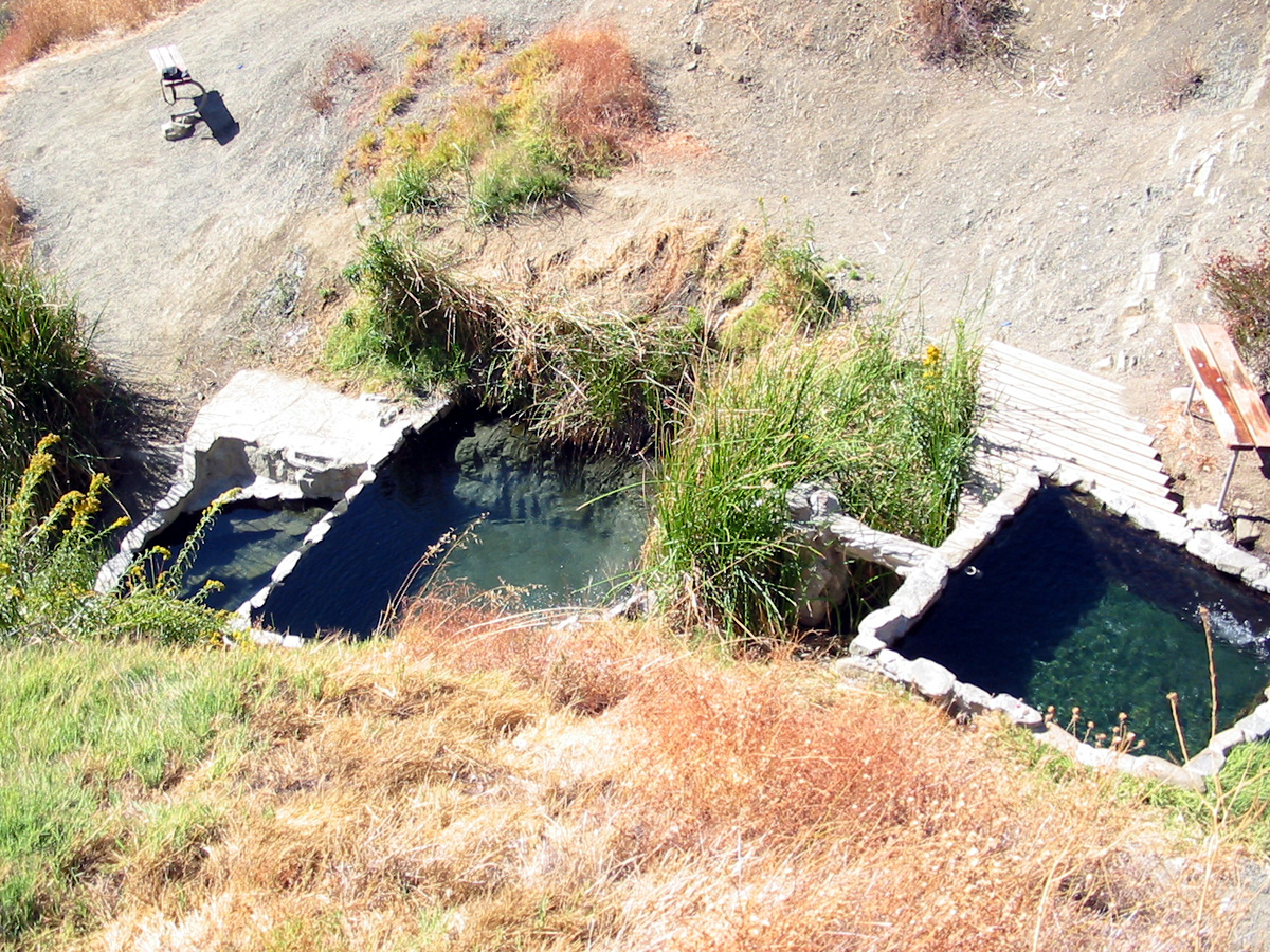
Hot springs near Eastern Goleta Valley, California
San Marcos Hot Spring
San Marcos Hot Spring emerges at 110°F on the slopes above Goleta in the Santa Ynez Mountains. The 49-degree temperature differ...
Little Caliente Spring
Little Caliente Spring emerges at 90°F in the Los Padres National Forest, where thermal waters rise 28 degrees above ambient in...

Montecito Hot Springs
Montecito Hot Springs reaches 118°F on steep chaparral slopes 1,594 feet above sea level in the Santa Ynez Mountains, requiring...

Agua Caliente Spring
Agua Caliente Spring emerges at an exceptional 133 degrees Fahrenheit in the Santa Ynez Mountains of Santa Barbara County near ...
Boron Spring
Boron Spring seeps forth at 72°F from Santa Barbara County's coastal foothills near Toro Canyon, flowing just 8°F above ambient...
Las Cruces Hot Springs
Las Cruces Hot Springs emerges at 99°F within Gaviota State Park in Santa Barbara County, accessible via a short 350-foot walk ...
Looking for a soak after your hike? Explore more hot springs near Eastern Goleta Valley, California on SoakingSprings.
Explore California springsAdditional Information
Nearby Attractions
Nearby attractions are not well-documented. Visitors may explore other natural areas in the region.
Wildlife
The area may feature typical California wildlife such as birds, deer, and small mammals. Visitors should be cautious of potential encounters with snakes or other wildlife.
Cities near Wellhouse Falls
Nearby Waterfalls

Writing about Wellhouse Falls? Embed this waterfall on your site for free.