Difficulty
Easy
Trail Length
1.0 miles
Trail Type
Out And Back
Elevation Gain
100 ft
About Wayka Falls
Wayka Falls is a tucked-away waterfall on the Menominee Reservation in northeastern Wisconsin, offering a peaceful spot for visitors who appreciate quiet, forested settings. The falls sit on land owned by DESG and are managed by the Menominee Tribe (designation: TRIB), so visits are best approached with respect for tribal lands and local customs. Because Wayka Falls is not a heavily developed attraction, it retains a natural, secluded character that rewards hikers looking for an easy, short outing rather than a crowded scenic stop. Before visiting, check with Menominee tribal authorities for any access guidance or seasonal information to ensure a respectful visit.
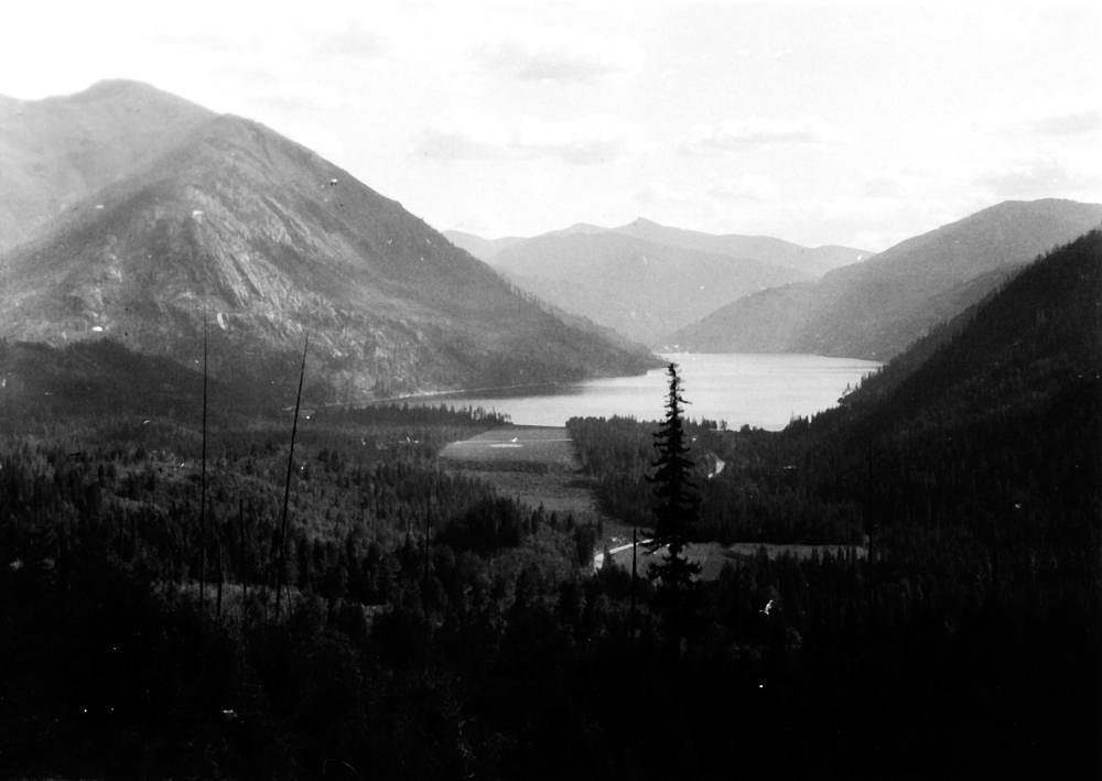
The Setting
Wayka Falls sits at 860 feet within Menominee Reservation, fed by the Red River, in the foothills of Wisconsin.
Trail & Hike Details
The Approach
The easy 1.0-mile out-and-back trail gains 100 feet of elevation on the way to the falls.
Trail Description
The approach to Wayka Falls is a short, straightforward out-and-back roughly 1.0 mile round trip with about 100 feet of elevation gain, typically rated easy. Trail-specific surface, grade, and formal trail class are not documented in the available records, so expect a simple, mostly natural route that suits casual hikers; wear footwear suitable for uneven ground and be prepared for minimal infrastructure or signage.
What to Expect
Visitors can expect a peaceful natural environment with a small to medium-sized waterfall. The flow may vary depending on the season, with spring offering the most robust water levels.
Accessibility
The trail is not wheelchair accessible. Uneven terrain and elevation changes require steady footing.
Frequently Asked Questions
🐶 Are Dogs Allowed at Wayka Falls?
❌ Dogs are not allowed
Are There Any Fees or Permits Required?
🆖 No fees required
🏊 Is There Swimming at Wayka Falls?
❌ Swimming is not allowed
When to Visit
Spring and early summer are typically the best times to visit, as the waterfall is likely to have the most water flow during these seasons.
Seasonal Access
The best time to visit is Spring, Summer, and Fall. Winter access may be limited.
Safety Information
Visitors should be cautious of slippery rocks near the waterfall and unmarked trails. Always inform someone of your plans before visiting remote areas.
Current Water Conditions
131 ft³/s
Current discharge — how much water is flowing
About average for this time of year
Based on 33 years of record
5.95 ft
Water depth at gauge
67°F
CoolRefreshing for swimming
7-Day Discharge Trend
What does this mean for your visit?
Flow is about average for this time of year. Water temperature is a refreshing 67 degrees F, good for a quick swim.
About This Gauge
This gauge is on a nearby waterway and may not reflect exact conditions at the falls.
7-Day Flow Outlook
Based on the USGS gauge RED RIVER AT MORGAN ROAD NEAR MORGAN, WI (15 km away).
Today
Low
149 cfs
3/10Tomorrow
Low
157 cfs
3/10Wed
Low
155 cfs
3/10Thu
Low
146 cfs
3/10Fri
Low
145 cfs
3/10Sat
Low
142 cfs
4/10Sun
Low
146 cfs
3/10Best window: Sat — low flow, chance rain showers (trip score 4/10).
Best time of year: this gauge typically runs highest from late March to mid June, peaking in April.
How we calculate this
This is a transparent outlook, not a precise forecast. We take the waterfall's current flow strength (how it ranks against its historical normal for today, from the nearest USGS stream gauge), carry that ranking forward along the gauge's seasonal curve, and nudge it for forecast rain. Confidence is highest for the next day or two and falls further out. Always check official conditions and your own judgment before visiting — high flows can be dangerous.
Know when to go.
Get a free email alert when waterfalls near Middle Village hit peak flow. We only send when conditions are worth the trip — no weekly newsletters, no spam.
Weather Forecast
Location & Access
Getting There
Specific directions to Wayka Falls are not widely documented. Visitors are advised to consult local maps or guides for the most accurate route.
Get Directions on Google MapsParking
Parking availability near Wayka Falls is unclear. Visitors should prepare for limited or roadside parking options.
Elevation
860 feet above sea level
Coordinates
44.930537° N, -88.654549° W
Land Management
Managed by TRIB
Visitor Tips & Gear
Wear sturdy footwear and bring a map or GPS device, as the trail and access points may not be well-marked. Check local conditions before visiting.
As an Amazon Associate, we earn from qualifying purchases.
This easy 1.0 miles hike is straightforward — comfortable trail shoes and plenty of water should do. Sun exposure on the trail makes good sun protection a must in summer.

Columbia Watertight II Rain Jacket
Packs into its own pocket, seam-sealed, and keeps you dry from spray and surprise rain.

Earth Pak Waterproof Dry Bag
Keeps your phone and gear dry when waterfall mist soaks everything else.

Waterproof Phone Pouch (AiRunTech)
Cheap insurance — take photos right next to the falls without killing your phone.

Polarized Sunglasses (Knockaround)
Cuts glare off the water so you actually see the falls — and your photos turn out better too.

Osprey Daylite Daypack
Light, organized, and just the right size for a day hike — fits water, snacks, and layers.

OR Sombriolet Sun Hat
UPF 50+ sun protection with vents so your head doesn't cook on exposed trail sections.
Where to Stay

Boarders Inn & Suites by Cobblestone Hotels - Shawano

Lakefront Cabin w/ Shared Beach in Cecil!

Haven Hotel Shawano WI

AmeriVu Inn and Suites Shawano WI
Browse vacation cabins and private rentals nearby
Unique outdoor stays — tents, yurts, and treehouses
Rent a campervan or RV for your waterfall road trip
Some links are affiliate links. We may earn a commission at no extra cost to you.
Nearby Campground
BOULDER LAKE
14.5 miles away · 99 sites
Overview Boulder Lake Campground is located on the shores of Boulder Lake in northern Wisconsin. It is the forest's largest campground but campsites fill up fast. The campground is home to individual and group sites, making it an ideal location to relax with friends or family. Recreational opportunities abound. Recreation Boulder Lake provides ample opportunities for power boating, water skiing, fishing and swimming. Anglers might catch walleye, northern pike, bass or panfish. Ice fishing is also
Book on Recreation.govAdditional Information
Nearby Attractions
Other natural attractions in Wisconsin, such as state parks and hiking trails, may be located nearby.
Wildlife
The area around Wayka Falls may host typical Wisconsin wildlife, including birds, deer, and small mammals.
Cities near Wayka Falls
Nearby Waterfalls
Writing about Wayka Falls? Embed this waterfall on your site for free.