Photo Credits (5)
Difficulty
Moderate
Trail Length
2.4 miles
Trail Type
Out And Back
Elevation Gain
350 ft
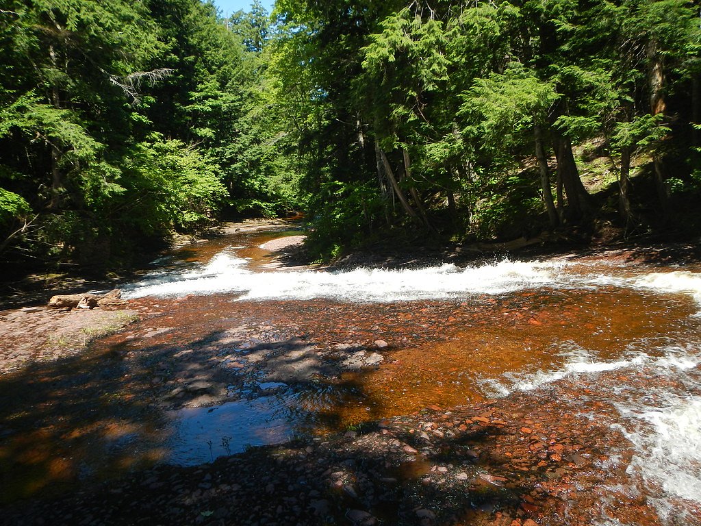
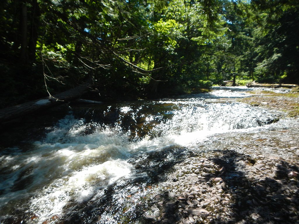
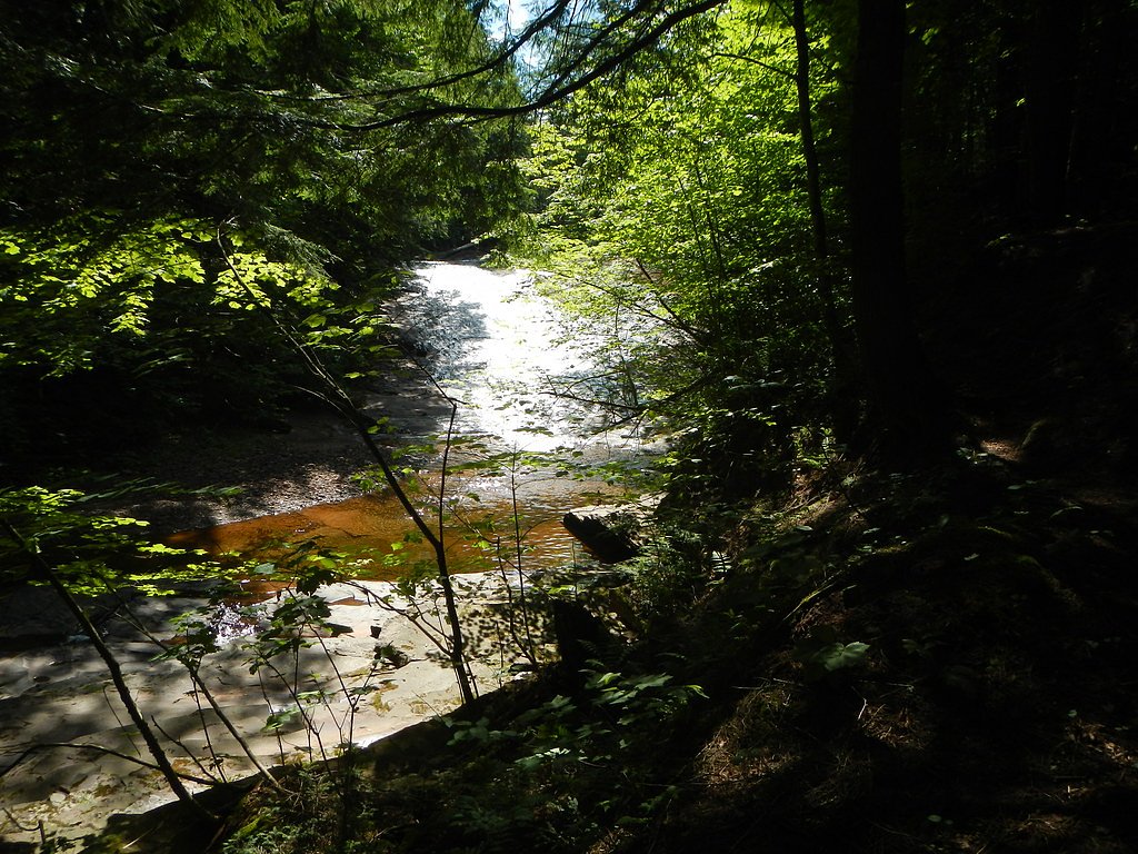
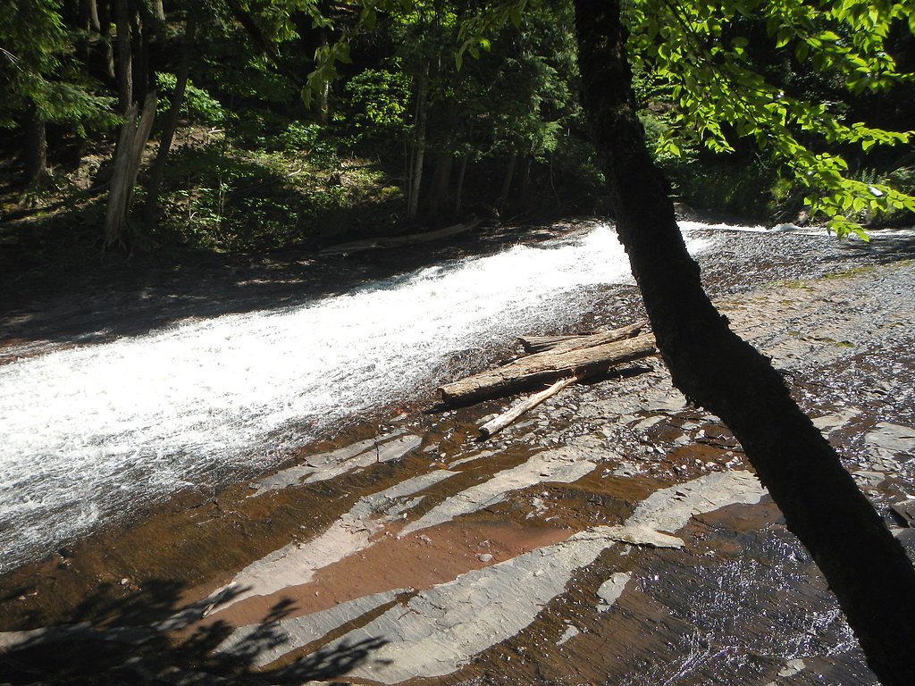
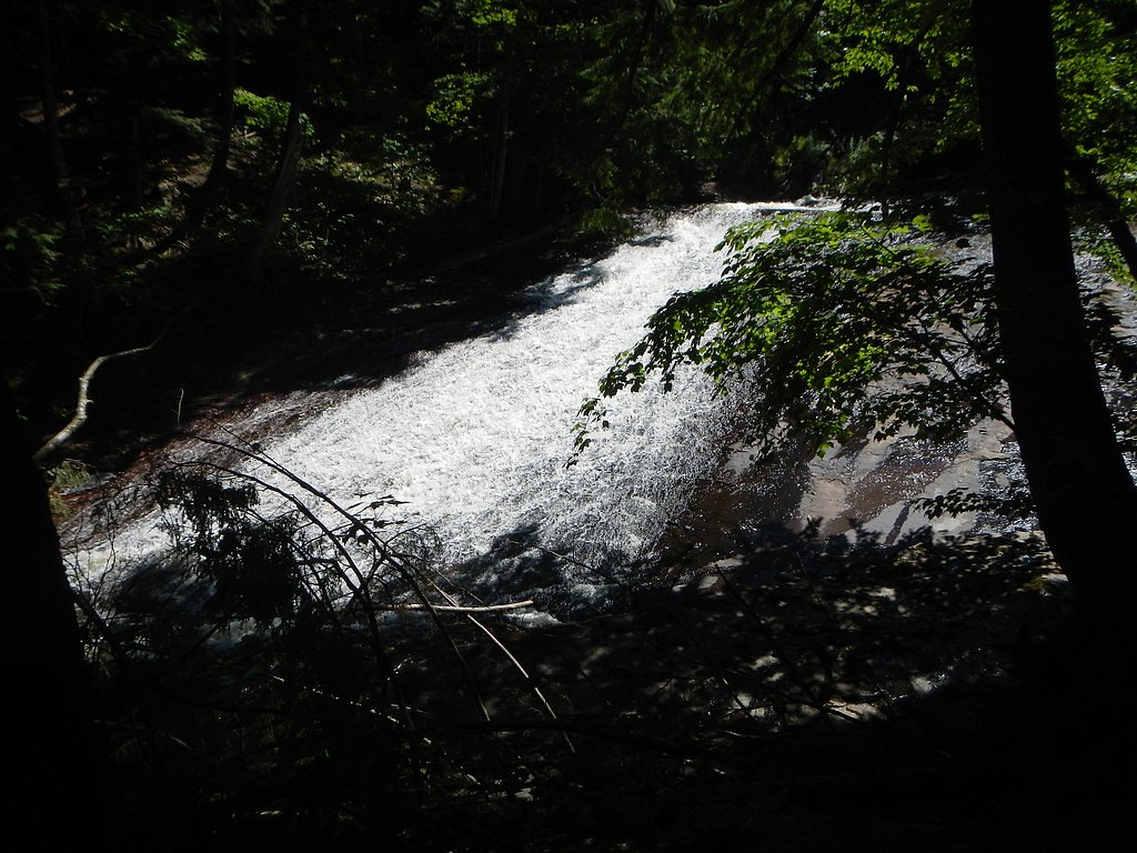
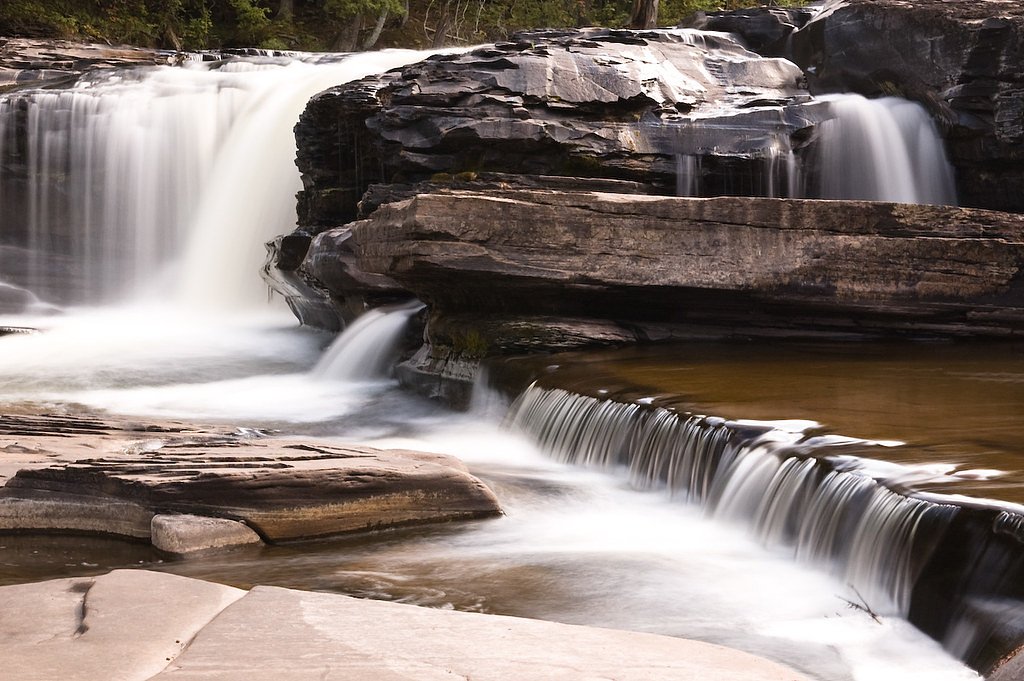
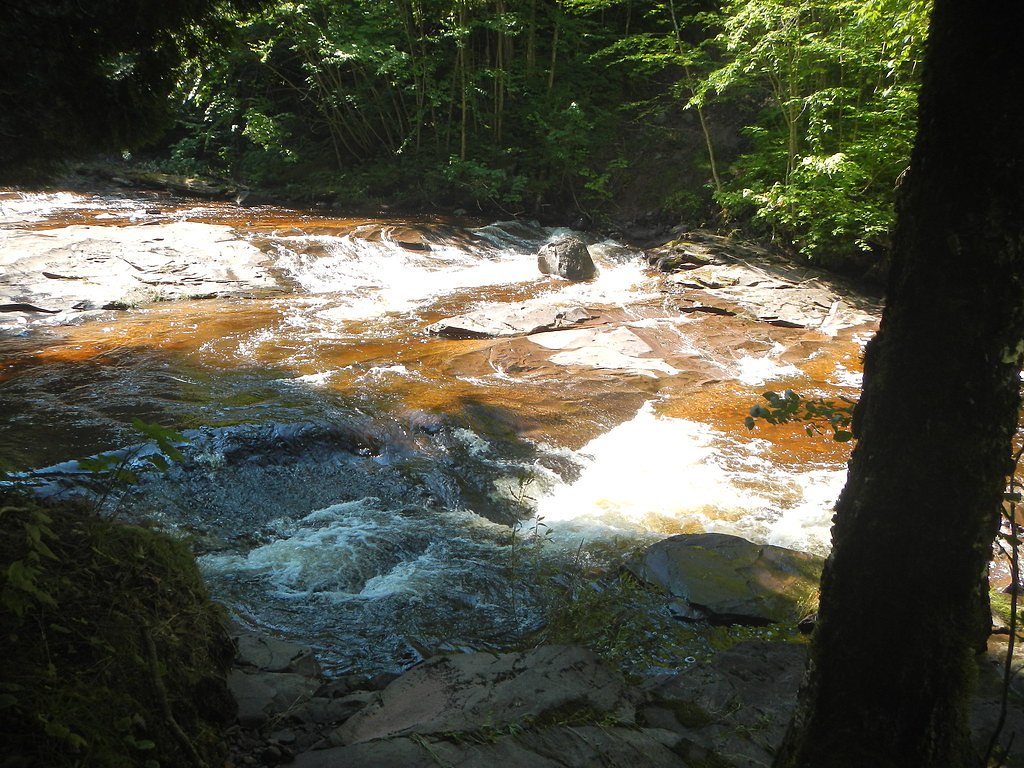
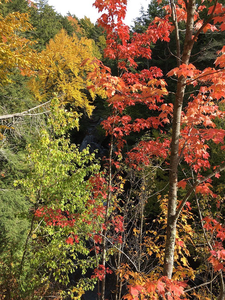
About Trappers Falls
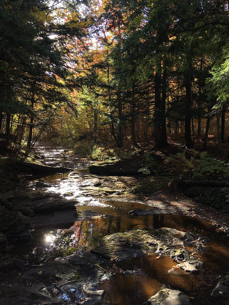
Trappers Falls is a quietly beautiful cascade tucked into Porcupine Mountains Wilderness State Park in Michigan. Situated on land owned by SDNR and designated as a state park (SP) under manager SPR, the falls offer a peaceful woodland setting that rewards visitors with a scenic drop framed by mature forest—an appealing destination for hikers who prefer a less-crowded natural spot. The approach is a pleasant outing rather than a technical scramble: the route to the falls follows an out-and-back path of about 2.4 miles with roughly 350 feet of elevation gain and is generally rated moderate. The nearest developed campground, Black River Harbor Campground, is approximately 14.4 km away, so plan day trips or overnight stays accordingly.
The Setting
Trappers Falls sits at 814 feet within Porcupine Mountains Wilderness State Park, fed by the Presque Isle River, in the foothills of Michigan.
Trail & Hike Details
The Approach
The moderate 2.4-mile out-and-back trail gains 350 feet of elevation on the way to the falls.
Trail Description
Out-and-back trail, approximately 2.4 miles total with about 350 feet of elevation gain and a moderate difficulty rating. The route winds through forested terrain and involves a steady climb rather than technical scrambling; specific USFS/park surface, grade, and trail-class data are not published in the available information, so expect a natural singletrack/footpath and variable conditions depending on weather.
What to Expect
Dogs are welcome.
Accessibility
The trail is not wheelchair accessible. Uneven terrain and elevation changes require steady footing.
Frequently Asked Questions
🐶 Are Dogs Allowed at Trappers Falls?
✅ Dogs are allowed
Are There Any Fees or Permits Required?
🆖 No fees required
🏊 Is There Swimming at Trappers Falls?
❌ Swimming is not allowed
When to Visit
Spring and early summer are ideal for visiting, as the waterfall tends to have the most water flow during these seasons.
Seasonal Access
The best time to visit is Spring, Summer, and Fall. Winter access may be limited.
Safety Information
Exercise caution near the waterfall, as rocks can be slippery. Be prepared for changing weather conditions, especially in the fall and winter.
Current Water Conditions
88 ft³/s
Current discharge — how much water is flowing
About average for this time of year
Based on 3 years of record
5.49 ft
Water depth at gauge
70°F
CoolRefreshing for swimming
7-Day Discharge Trend
What does this mean for your visit?
Flow is about average for this time of year. Water temperature is a refreshing 70 degrees F, good for a quick swim. Expect excellent dissolved oxygen levels. Mineral content is typical.
Water Quality
Dissolved Oxygen
ExcellentSupports aquatic life
Conductance
Dissolved minerals in the water
About This Gauge
7-Day Flow Outlook
Based on the USGS gauge PRESQUE ISLE RIVER NEAR CONNORVILLE, MI (8 km away).
Today
Barely Flowing
88 cfs
4/10Tomorrow
Barely Flowing
88 cfs
5/10Fri
Barely Flowing
88 cfs
5/10Sat
Low
100 cfs
3/10Sun
Low
106 cfs
3/10Mon
Low
106 cfs
3/10Tue
Low
106 cfs
3/10Best window: Tomorrow — barely flowing flow, partly sunny (trip score 5/10).
How we calculate this
This is a transparent outlook, not a precise forecast. We take the waterfall's current flow strength (how it ranks against its historical normal for today, from the nearest USGS stream gauge), carry that ranking forward along the gauge's seasonal curve, and nudge it for forecast rain. Confidence is highest for the next day or two and falls further out. Always check official conditions and your own judgment before visiting — high flows can be dangerous.
Know when to go.
Get a free email alert when waterfalls near White Pine hit peak flow. We only send when conditions are worth the trip — no weekly newsletters, no spam.
Weather Forecast
Location & Access
Getting There
Trappers Falls is located in Michigan's Upper Peninsula, near the town of Munising. Access may require driving on unpaved roads, so a reliable vehicle is recommended.
Get Directions on Google MapsParking
Parking is typically available near the trailhead, but spaces may be limited during peak seasons.
Elevation
814 feet above sea level
Coordinates
46.732915° N, -89.884890° W
Land Management
Managed by SPR
Visitor Tips & Gear
Wear sturdy shoes, as the trail may be muddy or uneven in some sections. Bug spray is recommended during warmer months due to mosquitoes.
As an Amazon Associate, we earn from qualifying purchases.
With 2.4 miles and 350 ft of elevation gain, sturdy boots and trekking poles will help on this moderate trail. Sun exposure on the trail makes good sun protection a must in summer.

Polarized Sunglasses (Knockaround)
Cuts glare off the water so you actually see the falls — and your photos turn out better too.

Columbia Watertight II Rain Jacket
Packs into its own pocket, seam-sealed, and keeps you dry from spray and surprise rain.

Earth Pak Waterproof Dry Bag
Keeps your phone and gear dry when waterfall mist soaks everything else.

Waterproof Phone Pouch (AiRunTech)
Cheap insurance — take photos right next to the falls without killing your phone.

Timberland Euro Sprint Mid Waterproof
Trusted waterproof boot with premium leather and grippy rubber sole — reliable on rocky, wet trails.

TrailBuddy Trekking Poles
Lightweight aluminum, cork grips, and flip-locks that actually hold — a best-seller for good reason.
Where to Stay

Snow Otter Haus - 2

Snow Otter Haus - 1

Quality Inn Ironwood

North Ironwood Acres - Black River Lodge
Browse vacation cabins and private rentals nearby
Unique outdoor stays — tents, yurts, and treehouses
Rent a campervan or RV for your waterfall road trip
Some links are affiliate links. We may earn a commission at no extra cost to you.
Nearby Campground
BLACK RIVER HARBOR CAMPGROUND
8.9 miles away · 40 sites
Overview Planning a trip to the Black River Harbor Campground? Watch for Alerts at the top of the page for any Alerts regarding this facility. Black River Campground is adjacent to the Black River Harbor Recreation Area. The recreation area includes a pavilion, harbor and a large picnic area. The area provides for many opportunities for fishing, boating, backpacking, hiking, bird watching, photography and beautiful scenery for relaxation in the outdoors. Recreation The campground is adjacent to
Book on Recreation.govAdditional Information
Nearby Attractions
Nearby attractions include Pictured Rocks National Lakeshore and Munising Falls.
Wildlife
The area is home to various wildlife, including birds, deer, and small mammals. Be cautious of ticks during warmer months.
Cities near Trappers Falls
Nearby Waterfalls
Writing about Trappers Falls? Embed this waterfall on your site for free.