Photo Credits (5)
Difficulty
Moderate
Trail Length
2.4 miles
Trail Type
Out And Back
Elevation Gain
350 ft
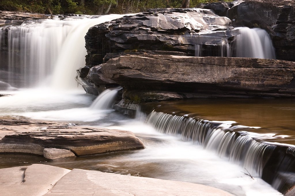
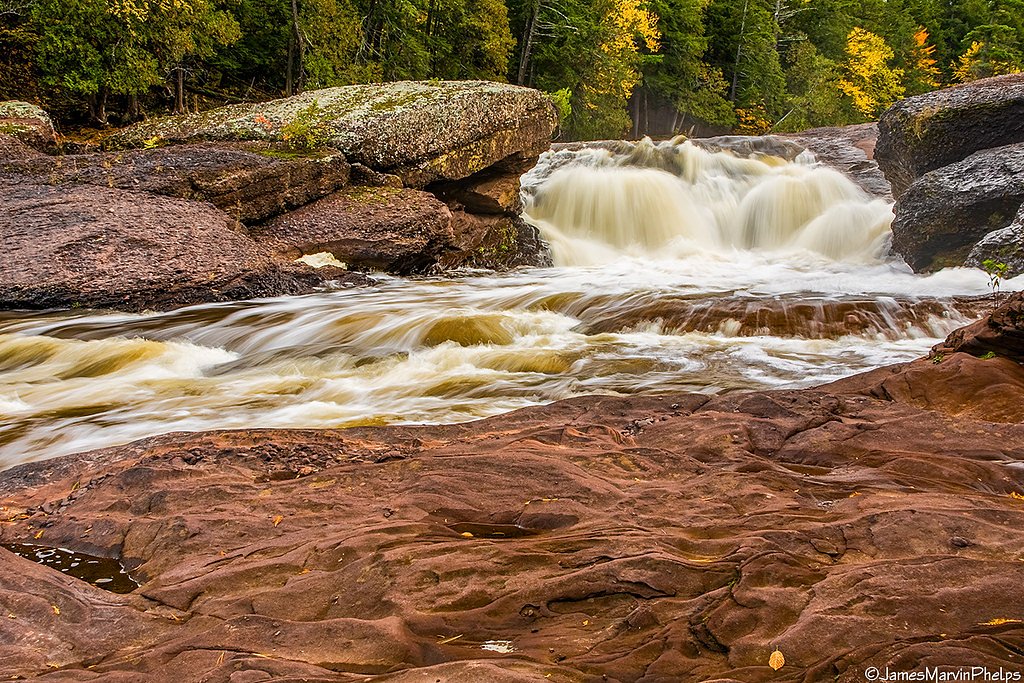
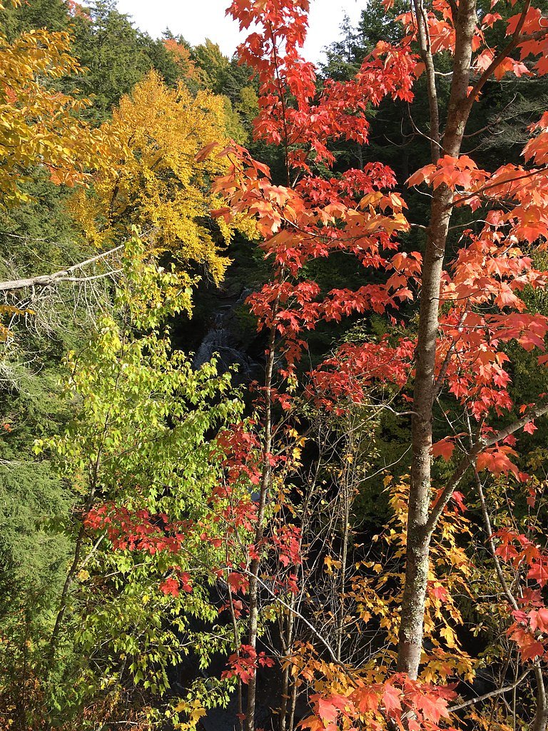
About Explorers Falls
Explorers Falls is a tucked-away cascade inside Porcupine Mountains Wilderness State Park, offering a quiet, scenic stop for hikers exploring the park. The site sits on land owned by SDNR and is managed as a state park (Designation: SP) by SPR, so visitors should follow park rules and respect seasonal closures or posted signage. Because it sees fewer visitors than some of the park’s better-known attractions, the falls are a nice choice for photographers and anyone seeking a peaceful forest setting. Access to the falls is an achievable outing for most day hikers: the established approach is a 2.4-mile out-and-back with roughly 350 feet of elevation gain and is rated moderate. Trail conditions and water flow at the falls vary by season and recent weather, so plan accordingly and pack basic trail essentials.
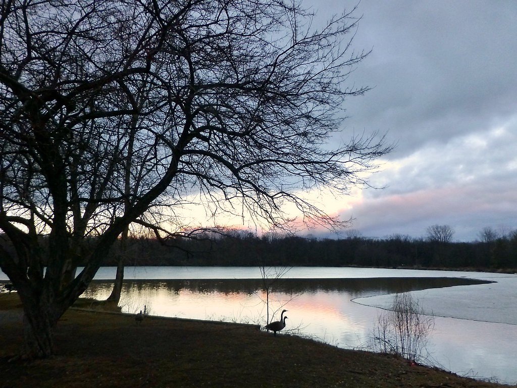
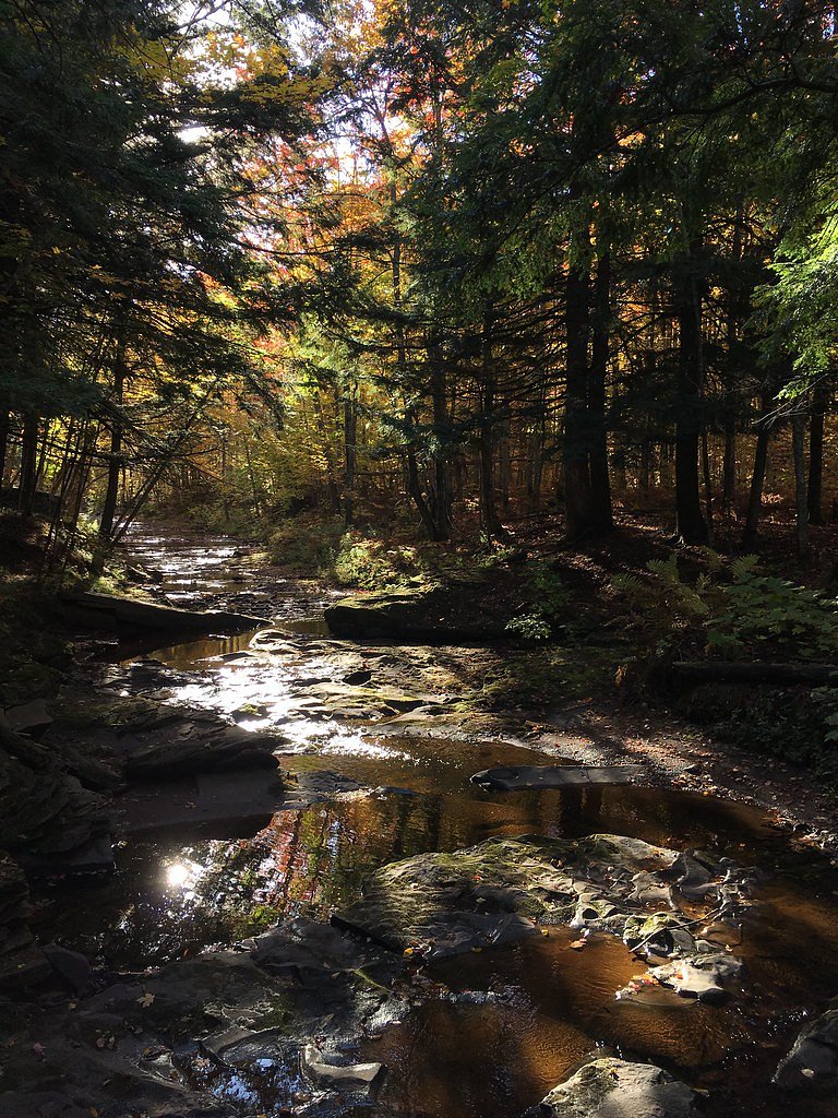
The Setting
Explorers Falls sits at 840 feet within Porcupine Mountains Wilderness State Park, fed by the Presque Isle River, in the foothills of Michigan.
Trail & Hike Details
The Approach
The moderate 2.4-mile out-and-back trail gains 350 feet of elevation on the way to the falls.
Trail Description
Trail data from the managing land unit indicates a 2.4-mile out-and-back approach with approximately 350 feet of elevation gain and a moderate difficulty rating. No USFS trail name/number or formal surface/grade/class data was provided by the managing agency in the enrichment record. Hikers should expect a maintained park route leading to viewpoints of the falls; check current park notices before you go, wear sturdy footwear for uneven footing, and carry water and weather-appropriate layers.
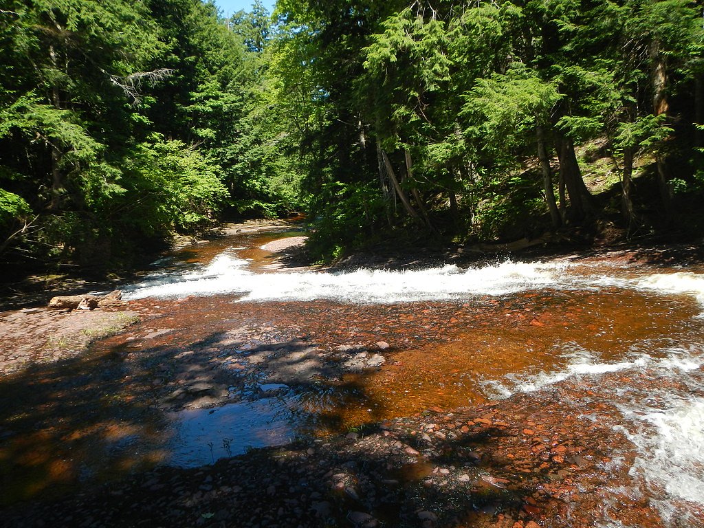
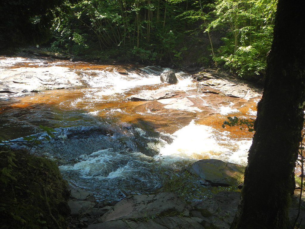
What to Expect
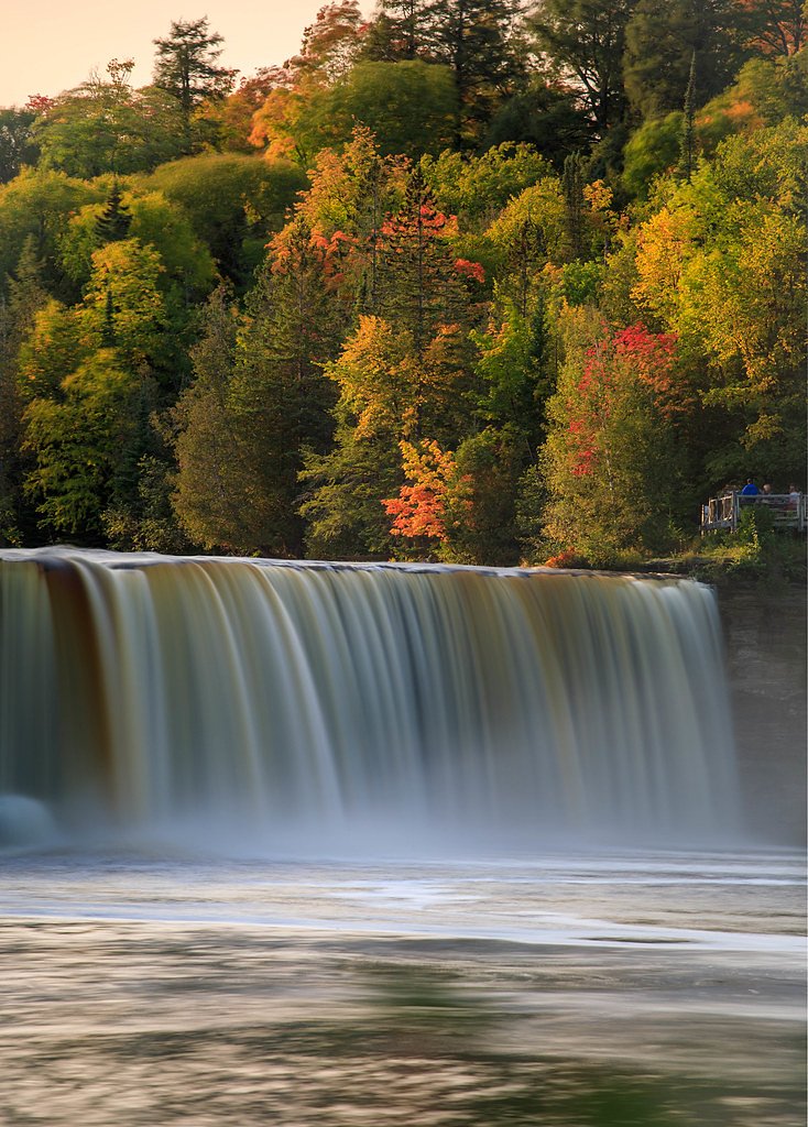
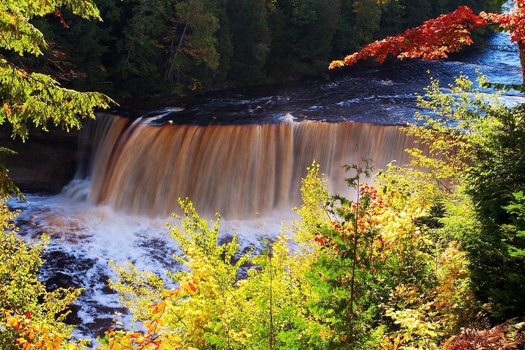
Expect a peaceful and scenic environment with the sound of cascading water. The area may be less crowded compared to more popular waterfalls in Michigan.
Accessibility
The trail is not wheelchair accessible. Uneven terrain and elevation changes require steady footing.
Frequently Asked Questions
🐶 Are Dogs Allowed at Explorers Falls?
❌ Dogs are not allowed
Are There Any Fees or Permits Required?
🆖 No fees required
🏊 Is There Swimming at Explorers Falls?
❌ Swimming is not allowed
When to Visit
Spring and early summer are typically the best times to visit, as water flow is likely to be at its peak.
Seasonal Access
The best time to visit is Spring, Summer, and Fall. Winter access may be limited.
Safety Information
Trail conditions may vary, and the area may be slippery near the waterfall. Visitors should exercise caution and avoid visiting during severe weather.
Current Water Conditions
91 ft³/s
Current discharge — how much water is flowing
About average for this time of year
Based on 3 years of record
5.50 ft
Water depth at gauge
69°F
CoolRefreshing for swimming
7-Day Discharge Trend
What does this mean for your visit?
Flow is about average for this time of year. Water temperature is a refreshing 69 degrees F, good for a quick swim. Expect adequate dissolved oxygen levels. Mineral content is typical.
Water Quality
Dissolved Oxygen
GoodAdequate oxygen levels
Conductance
Dissolved minerals in the water
About This Gauge
7-Day Flow Outlook
Based on the USGS gauge PRESQUE ISLE RIVER NEAR CONNORVILLE, MI (8 km away).
Today
Low
91 cfs
6/10Tomorrow
Moderate
98 cfs
5/10Mon
Moderate
107 cfs
4/10Tue
Moderate
110 cfs
4/10Wed
Moderate
110 cfs
4/10Thu
Moderate
110 cfs
4/10Fri
Moderate
110 cfs
4/10Best window: Today — low flow, mostly sunny (trip score 6/10).
How we calculate this
This is a transparent outlook, not a precise forecast. We take the waterfall's current flow strength (how it ranks against its historical normal for today, from the nearest USGS stream gauge), carry that ranking forward along the gauge's seasonal curve, and nudge it for forecast rain. Confidence is highest for the next day or two and falls further out. Always check official conditions and your own judgment before visiting — high flows can be dangerous.
Know when to go.
Get a free email alert when waterfalls near White Pine hit peak flow. We only send when conditions are worth the trip — no weekly newsletters, no spam.
Weather Forecast
Location & Access
Getting There
The exact location of Explorers Falls is not widely documented. Visitors are advised to consult local resources or hiking guides for directions.
Get Directions on Google MapsParking
Parking availability is unclear. Visitors should prepare for limited parking options and check with local authorities or trail resources before visiting.
Elevation
840 feet above sea level
Coordinates
46.732724° N, -89.885723° W
Land Management
Managed by SPR
Visitor Tips & Gear
Bring a map or GPS device as the location may not be well-marked. Wear sturdy footwear and be prepared for uneven terrain.
As an Amazon Associate, we earn from qualifying purchases.
With 2.4 miles and 350 ft of elevation gain, sturdy boots and trekking poles will help on this moderate trail. Sun exposure on the trail makes good sun protection a must in summer.

Polarized Sunglasses (Knockaround)
Cuts glare off the water so you actually see the falls — and your photos turn out better too.

Columbia Watertight II Rain Jacket
Packs into its own pocket, seam-sealed, and keeps you dry from spray and surprise rain.

Earth Pak Waterproof Dry Bag
Keeps your phone and gear dry when waterfall mist soaks everything else.

Waterproof Phone Pouch (AiRunTech)
Cheap insurance — take photos right next to the falls without killing your phone.

Timberland Euro Sprint Mid Waterproof
Trusted waterproof boot with premium leather and grippy rubber sole — reliable on rocky, wet trails.

TrailBuddy Trekking Poles
Lightweight aluminum, cork grips, and flip-locks that actually hold — a best-seller for good reason.
Where to Stay

Snow Otter Haus - 2

Snow Otter Haus - 1

Quality Inn Ironwood

North Ironwood Acres - Black River Lodge
Browse vacation cabins and private rentals nearby
Unique outdoor stays — tents, yurts, and treehouses
Rent a campervan or RV for your waterfall road trip
Some links are affiliate links. We may earn a commission at no extra cost to you.
Nearby Campground
BLACK RIVER HARBOR CAMPGROUND
8.9 miles away · 40 sites
Overview Planning a trip to the Black River Harbor Campground? Watch for Alerts at the top of the page for any Alerts regarding this facility. Black River Campground is adjacent to the Black River Harbor Recreation Area. The recreation area includes a pavilion, harbor and a large picnic area. The area provides for many opportunities for fishing, boating, backpacking, hiking, bird watching, photography and beautiful scenery for relaxation in the outdoors. Recreation The campground is adjacent to
Book on Recreation.govAdditional Information
Nearby Attractions
Other natural attractions in Michigan, such as state parks and hiking trails, may be nearby.
Wildlife
The area may feature common Michigan wildlife such as deer, birds, and small mammals.
Cities near Explorers Falls
Nearby Waterfalls
Writing about Explorers Falls? Embed this waterfall on your site for free.