Thirtyfoot Falls
Maine • 30 ft
By Armen Suny · Last verified May 2026
Difficulty
Moderate
Trail Length
2.4 miles
Trail Type
Out And Back
Elevation Gain
350 ft
About Thirtyfoot Falls
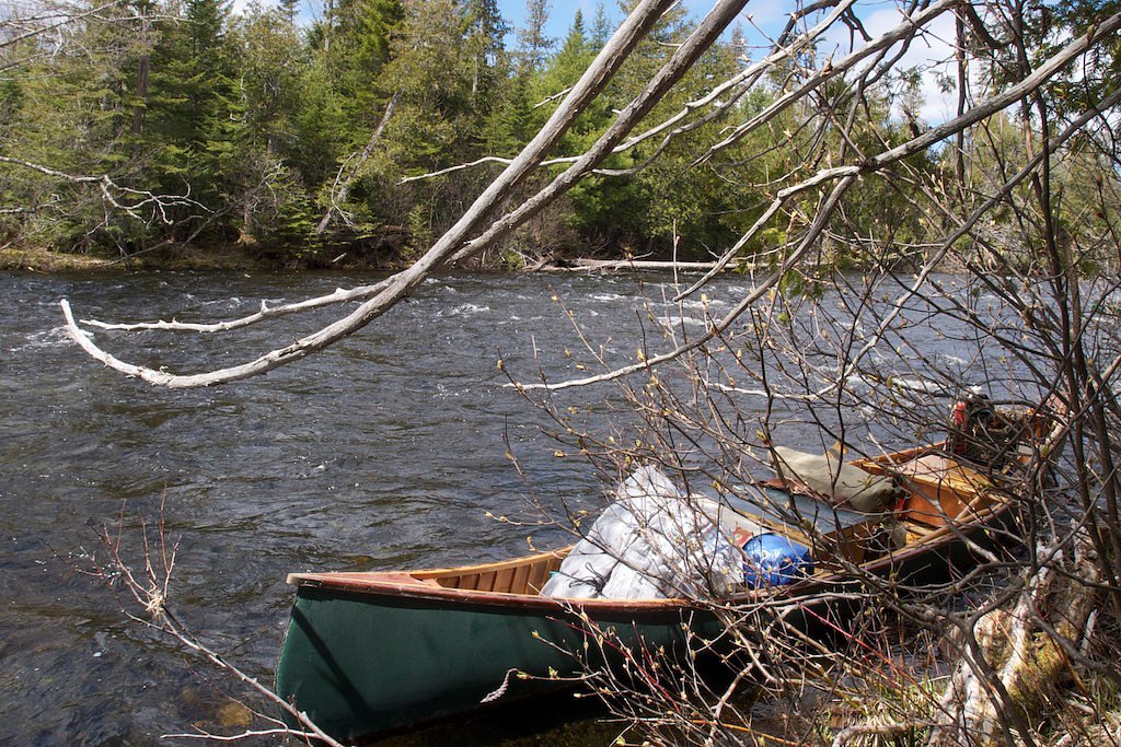
Thirtyfoot Falls is a quietly photogenic 30-foot cascade tucked into the woods of Maine. The falls tumble over a rocky ledge into a small pool, creating a compact but scenic destination for photographers and hikers looking for a short nature escape. The site lies within the Pingree Easement on privately owned land and is managed by a nonprofit organization; visitors should be mindful of private‑land rules and access guidelines while enjoying the view.
The Setting
Thirtyfoot Falls sits at 1,243 feet within Pingree Easement, fed by the E. Br. Penobscot River, in the foothills of Maine. The falls drop 30 feet.
Height: 30 feet
Trail & Hike Details
The Approach
The moderate 2.4-mile out-and-back trail gains 350 feet of elevation on the way to the falls.
Trail Description
The approach to Thirtyfoot Falls is a moderate 2.4‑mile out‑and‑back route with roughly 350 feet of elevation gain. The trail follows a single path through forested terrain and culminates at the base of the 30‑foot cascade, offering close-up views of the drop. Difficulty is rated moderate; USFS-specific surface, grade, or trail‑class data are not available. The nearest established campground is at Katahdin Woods and Waters National Monument, about 39.6 km away, so come prepared for a day hike.
What to Expect
The falls drop 30 feet. Dogs are welcome.
Accessibility
The trail is not wheelchair accessible. Uneven terrain and elevation changes require steady footing.
Frequently Asked Questions
🐶 Are Dogs Allowed at Thirtyfoot Falls?
✅ Dogs are allowed
Are There Any Fees or Permits Required?
🆖 No fees required
🏊 Is There Swimming at Thirtyfoot Falls?
❌ Swimming is not allowed
When to Visit
Spring and early summer are ideal times to visit, as the waterfall is likely to have the most water flow due to snowmelt and rainfall.
Seasonal Access
The best time to visit is Spring, Summer, and Fall. Winter access may be limited.
Safety Information
Exercise caution near the waterfall, as rocks can be slippery. Avoid visiting during heavy rain or icy conditions, as the trail may become hazardous.
Current Water Conditions
Based on a USGS gauge 24.3 miles away
812 ft³/s
Current discharge — how much water is flowing
Lower than usual for this time of year
Based on 2 years of record
3.53 ft
Water depth at gauge
65°F
CoolRefreshing for swimming
7-Day Discharge Trend
What does this mean for your visit?
Flow is lower than usual for this time of year. Water temperature is a refreshing 65 degrees F, good for a quick swim.
About This Gauge
This gauge is on a regional waterway. Conditions at the falls may differ, especially after local rain.
7-Day Flow Outlook
Based on the USGS gauge E. Br. Penobscot River below Grand Lake Matagamon (39 km away).
Today
Moderate
926 cfs
4/10Tomorrow
Moderate
977 cfs
4/10Mon
Moderate
867 cfs
8/10Tue
Low
812 cfs
6/10Wed
Moderate
875 cfs
5/10Thu
Moderate
1037 cfs
5/10Fri
Moderate
1046 cfs
4/10Best window: Mon — moderate flow, sunny (trip score 8/10).
Best time of year: this gauge typically runs highest from mid March to mid May, peaking in May.
How we calculate this
This is a transparent outlook, not a precise forecast. We take the waterfall's current flow strength (how it ranks against its historical normal for today, from the nearest USGS stream gauge), carry that ranking forward along the gauge's seasonal curve, and nudge it for forecast rain. Confidence is highest for the next day or two and falls further out. Always check official conditions and your own judgment before visiting — high flows can be dangerous.
Know when to go.
Get a free email alert when waterfalls near Patten hit peak flow. We only send when conditions are worth the trip — no weekly newsletters, no spam.
Weather Forecast
Location & Access
Getting There
Thirtyfoot Falls is located near the town of Brownfield, Maine. Access is typically via local roads, and visitors should follow signs or GPS directions to the trailhead.
Get Directions on Google MapsParking
Parking may be available at a small lot near the trailhead, but space could be limited. Visitors should plan accordingly.
Elevation
1,243 feet above sea level
Coordinates
46.412538° N, -69.104773° W
Land Management
Managed by NGO
Visitor Tips & Gear
Wear sturdy shoes, as the trail may have uneven or muddy sections, especially after rain. Bring insect repellent during warmer months, as bugs can be present in the wooded areas.
As an Amazon Associate, we earn from qualifying purchases.
With 2.4 miles and 350 ft of elevation gain, sturdy boots and trekking poles will help on this moderate trail. Sun exposure on the trail makes good sun protection a must in summer.

Columbia Watertight II Rain Jacket
Packs into its own pocket, seam-sealed, and keeps you dry from spray and surprise rain.

Earth Pak Waterproof Dry Bag
Keeps your phone and gear dry when waterfall mist soaks everything else.

Waterproof Phone Pouch (AiRunTech)
Cheap insurance — take photos right next to the falls without killing your phone.

Timberland Euro Sprint Mid Waterproof
Trusted waterproof boot with premium leather and grippy rubber sole — reliable on rocky, wet trails.

TrailBuddy Trekking Poles
Lightweight aluminum, cork grips, and flip-locks that actually hold — a best-seller for good reason.

Polarized Sunglasses (Knockaround)
Cuts glare off the water so you actually see the falls — and your photos turn out better too.
Where to Stay
Browse vacation cabins and private rentals nearby
Unique outdoor stays — tents, yurts, and treehouses
Rent a campervan or RV for your waterfall road trip
Some links are affiliate links. We may earn a commission at no extra cost to you.
Nearby Campground
Katahdin Woods and Waters National Monument Camping and Huts
24.6 miles away · 27 sites
Overview Katahdin Woods and Waters National Monument is located in Maine’s north woods. Katahdin Woods and Waters protects part of an extraordinary natural and cultural landscape: the mountains, woods, and waters where the East Branch of the Penobscot River and its tributaries, including the Wassataquoik Stream and the Seboeis River, run freely. Campsites, lean-tos and huts located throughout the monument provide opportunities to stay overnight while hiking, biking, paddling and enjoying other re
Book on Recreation.govAdditional Information
Nearby Attractions
Other natural attractions in the area include the Saco River and the White Mountain National Forest.
Wildlife
The area is home to various wildlife, including birds, deer, and small mammals. Visitors should be cautious and respectful of the natural habitat.
Cities near Thirtyfoot Falls
Nearby Waterfalls
Writing about Thirtyfoot Falls? Embed this waterfall on your site for free.