
Photo Credits (5)
Difficulty
Moderate
Trail Length
2.4 miles
Trail Type
Out And Back
Elevation Gain
350 ft
About Tempe Cascade
Tempe Cascade is a quiet, lesser-known waterfall tucked inside Yellowstone National Park and managed by the National Park Service. Surrounded by the park’s rugged landscapes, it rewards visitors seeking a more solitary nature experience with scenic cascades and the hush of forested backcountry — a pleasant contrast to the park’s busier thermal areas. Access to the falls is via a moderate hike: the approach is an out-and-back route of 2.4 miles with about 350 feet of elevation gain. Because the waterfall sits within NPS territory, visitors should plan according to park regulations and seasonal trail conditions, bringing appropriate footwear and supplies for a moderate backcountry hike.
The Setting
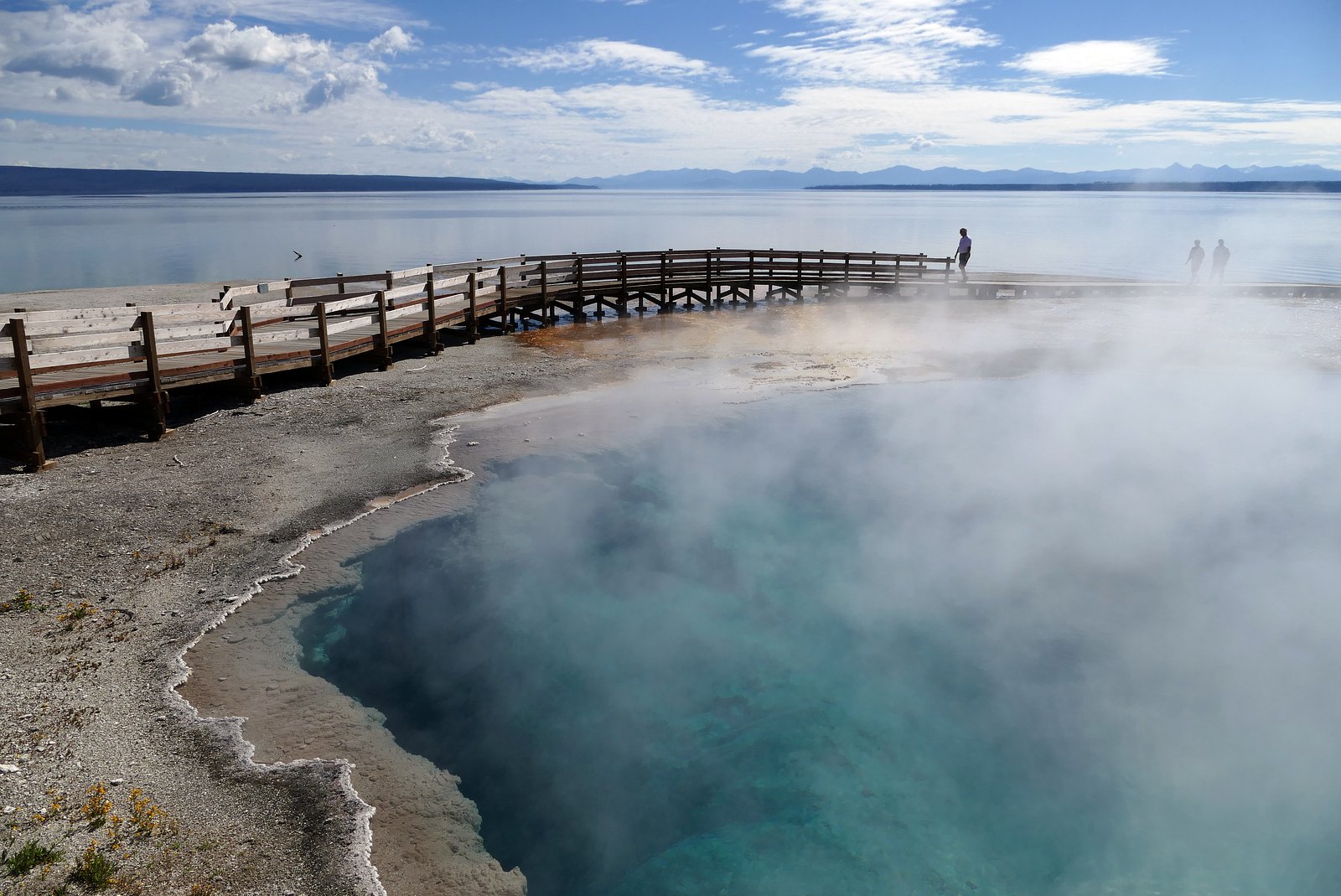
Tempe Cascade sits at 7,920 feet within Yellowstone National Park, fed by the Firehole River, in the high mountains of Wyoming.
Trail & Hike Details
The Approach
The moderate 2.4-mile out-and-back trail gains 350 feet of elevation on the way to the falls.
Trail Description
Trail length: 2.4 miles (out-and-back). Elevation gain: approximately 350 feet. Difficulty: Moderate. Trail type: Out-and-back. Managed by: National Park Service (Yellowstone National Park). Note: The available data does not specify an official trail number, surface type, or formal USFS trail class for this route. Hikers should expect typical park trail conditions and check current Yellowstone trail status with the NPS before setting out.
What to Expect
Visitors can expect a peaceful and remote waterfall experience, surrounded by Wyoming's natural landscapes. The area may have limited facilities and signage.
Accessibility
The trail is not wheelchair accessible. Uneven terrain and elevation changes require steady footing.
Frequently Asked Questions
🐶 Are Dogs Allowed at Tempe Cascade?
❌ Dogs are not allowed
Are There Any Fees or Permits Required?
🆖 No fees required
🏊 Is There Swimming at Tempe Cascade?
❌ Swimming is not allowed
When to Visit
Spring and early summer are typically the best times to visit, as snowmelt may enhance the waterfall's flow.
Seasonal Access
The best time to visit is Spring, Summer, and Fall. Access roads and trails may close during winter due to snow. Check the National Park Service website for current conditions.
Safety Information
The trail may be unmarked and rugged. Visitors should prepare for remote conditions, carry sufficient supplies, and inform someone of their plans. Be cautious of wildlife and changing weather conditions.
Current Water Conditions
55 ft³/s
Current discharge — how much water is flowing
About average for this time of year
Based on 19 years of record
2.58 ft
Water depth at gauge
66°F
CoolRefreshing for swimming
7-Day Discharge Trend
What does this mean for your visit?
Flow is about average for this time of year. Water temperature is a refreshing 66 degrees F, good for a quick swim.
About This Gauge
This gauge is on a nearby waterway and may not reflect exact conditions at the falls.
7-Day Flow Outlook
Based on the USGS gauge Firehole River at Old Faithful, YNP (18 km away).
Today
Barely Flowing
55 cfs
5/10Tomorrow
Low
60 cfs
3/10Fri
Low
62 cfs
3/10Sat
Low
57 cfs
3/10Sun
Low
49 cfs
4/10Mon
Low
51 cfs
4/10Tue
Barely Flowing
42 cfs
5/10Best window: Today — barely flowing flow, mostly sunny (trip score 5/10).
Best time of year: this gauge typically runs highest from late April to mid July, peaking in June.
How we calculate this
This is a transparent outlook, not a precise forecast. We take the waterfall's current flow strength (how it ranks against its historical normal for today, from the nearest USGS stream gauge), carry that ranking forward along the gauge's seasonal curve, and nudge it for forecast rain. Confidence is highest for the next day or two and falls further out. Always check official conditions and your own judgment before visiting — high flows can be dangerous.
Know when to go.
Get a free email alert when waterfalls near West Yellowstone hit peak flow. We only send when conditions are worth the trip — no weekly newsletters, no spam.
Weather Forecast
Location & Access
Getting There
Specific directions to Tempe Cascade are not well-documented. Visitors are advised to consult local maps or contact nearby ranger stations for guidance.
Get Directions on Google MapsParking
Parking availability is unclear. Visitors may need to park along nearby roads or designated areas if available.
Elevation
7,920 feet above sea level
Coordinates
44.301598° N, -110.870491° W
Land Management
Managed by NPS
Visitor Tips & Gear
Bring a detailed map or GPS device, as the trail may not be well-marked. Check weather conditions before visiting, and wear sturdy footwear suitable for uneven terrain.
This trail sits at 7,920 ft above sea level
Elevated TrailUV radiation is roughly 32% stronger at this elevation than at sea level, and the dry air accelerates dehydration. Extra sun protection and fluids go a long way.
As an Amazon Associate, we earn from qualifying purchases.

Coppertone Sport SPF 50 Sunscreen
UV intensity jumps ~4% per 1,000 ft — at this elevation you can burn in half the time.

Sun Bum SPF 30 Lip Balm (3-Pack)
Lips have almost no natural UV protection and burn fast in thin, dry mountain air.

Liquid I.V. Electrolyte Packets
You lose moisture ~2x faster at elevation — electrolytes help you absorb water efficiently.

ROCKNIGHT Polarized UV400 Sunglasses
High-altitude glare off rock and water is intense — UV400 lenses block 99%+ of UVA/UVB.
As an Amazon Associate, we earn from qualifying purchases.
With 2.4 miles and 350 ft of elevation gain, sturdy boots and trekking poles will help on this moderate trail. Sun exposure on the trail makes good sun protection a must in summer.
America the Beautiful Annual Pass
Covers entrance fees at 2,000+ federal recreation sites — required at most National Parks.

Polarized Sunglasses (Knockaround)
Cuts glare off the water so you actually see the falls — and your photos turn out better too.

Columbia Watertight II Rain Jacket
Packs into its own pocket, seam-sealed, and keeps you dry from spray and surprise rain.

Earth Pak Waterproof Dry Bag
Keeps your phone and gear dry when waterfall mist soaks everything else.

Waterproof Phone Pouch (AiRunTech)
Cheap insurance — take photos right next to the falls without killing your phone.

Timberland Euro Sprint Mid Waterproof
Trusted waterproof boot with premium leather and grippy rubber sole — reliable on rocky, wet trails.

TrailBuddy Trekking Poles
Lightweight aluminum, cork grips, and flip-locks that actually hold — a best-seller for good reason.
Where to Stay

Cabin Village

Sawtelle Mountain Resort

Blue Buffalo Resort

Pendleton Pointe
Browse vacation cabins and private rentals nearby
Unique outdoor stays — tents, yurts, and treehouses
Rent a campervan or RV for your waterfall road trip
Some links are affiliate links. We may earn a commission at no extra cost to you.
Nearby Campground
Old Faithful Inn
11.1 miles away · 0 sites
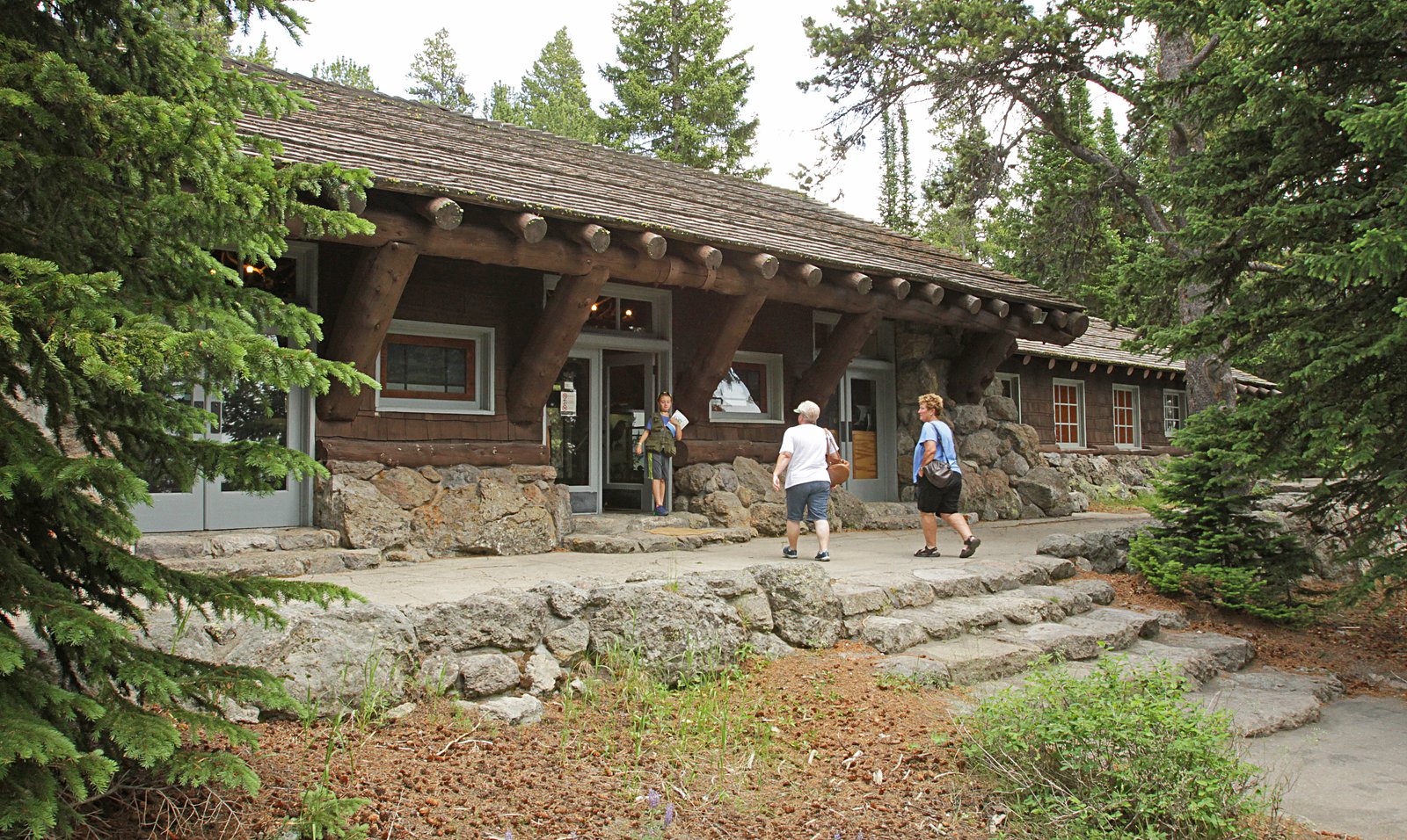
The Old Faithful Inn, built in 1903 and a member of Historic Hotels of America® since 2012 was designated by the U.S. Secretary of the Interior as a National Historic Landmark in 1987. Historic Hotels of America is the official program of the National Trust for Historic Preservation® for recognizing and celebrating the finest historic hotels across America. Old Faithful Inn, a rustic-style lodge with a log and wood shingle exterior, is adjacent to the world-famous Old Faithful Geyser. The origina
Book on Recreation.govNearby Hot Springs
Hot springs near West Yellowstone, Wyoming
Boundary Creek Hot Springs
Boundary Creek Hot Springs flows at 181°F in one of Yellowstone's most remote backcountry locations, requiring a 3.8-mile hike ...

Imperial Geyser, Spray Geyser
Imperial Geyser and Spray Geyser emerge at 192 degrees Fahrenheit at 7,327 feet elevation, located two miles from road access v...

Rabbit Creek Group
Rabbit Creek Group emerges at 198 degrees Fahrenheit—161 degrees above the 36-degree ambient—at 7,284 feet elevation in Yellows...

Fairy Springs
Fairy Springs flows at 201 degrees Fahrenheit within Yellowstone National Park's Lower Geyser Basin, distinguished by its extre...

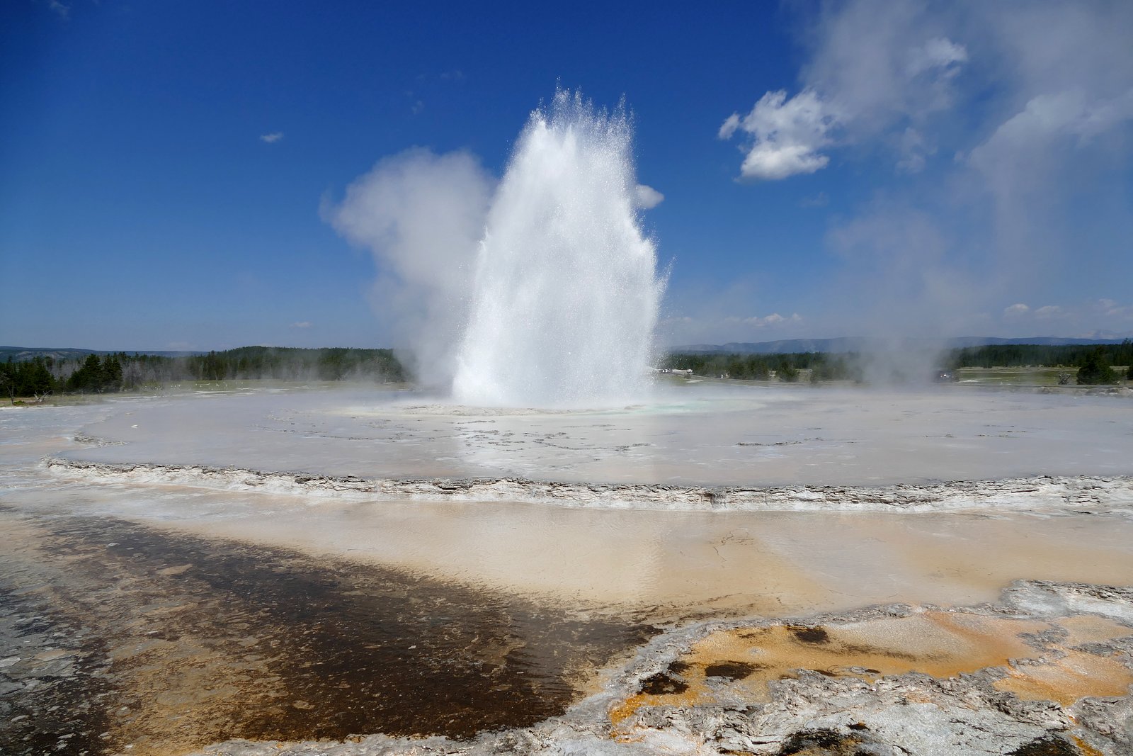
Excelsior Geyser Crater
Excelsior Geyser Crater discharges approximately 4,000 gallons per minute at 199 degrees Fahrenheit into the Firehole River, ma...

Flood Group
Flood Group flows at 203 degrees Fahrenheit in Yellowstone's Midway Geyser Basin, positioned just 583 feet from the Grand Loop ...
Looking for a soak after your hike? Explore more hot springs near West Yellowstone, Wyoming on SoakingSprings.
Explore Wyoming springsAdditional Information
Nearby Attractions
Nearby attractions are not well-documented but may include other natural features in Wyoming's wilderness.
Wildlife
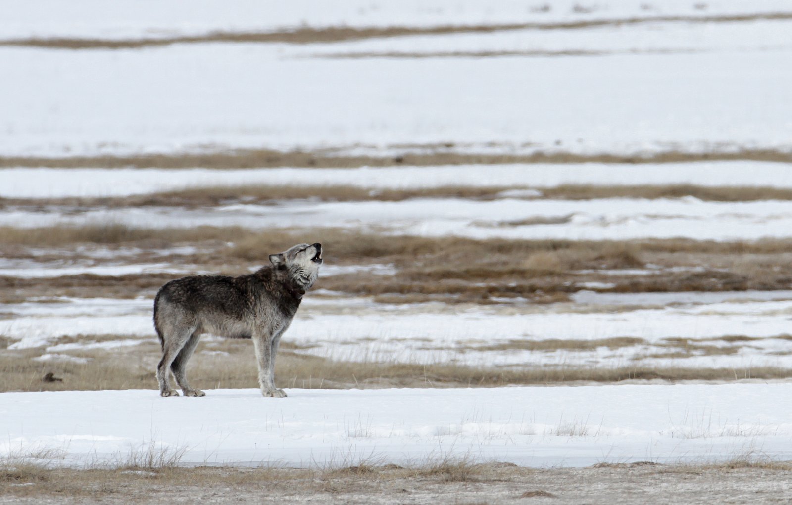
The area may be home to wildlife such as deer, birds, and potentially bears. Visitors should exercise caution and follow wildlife safety guidelines.
Cities near Tempe Cascade
Nearby Waterfalls
Writing about Tempe Cascade? Embed this waterfall on your site for free.