Sluiceway Falls
Wyoming • 10 ft
By Armen Suny · Last verified Oct 2026
LiDAR & 3D terrain
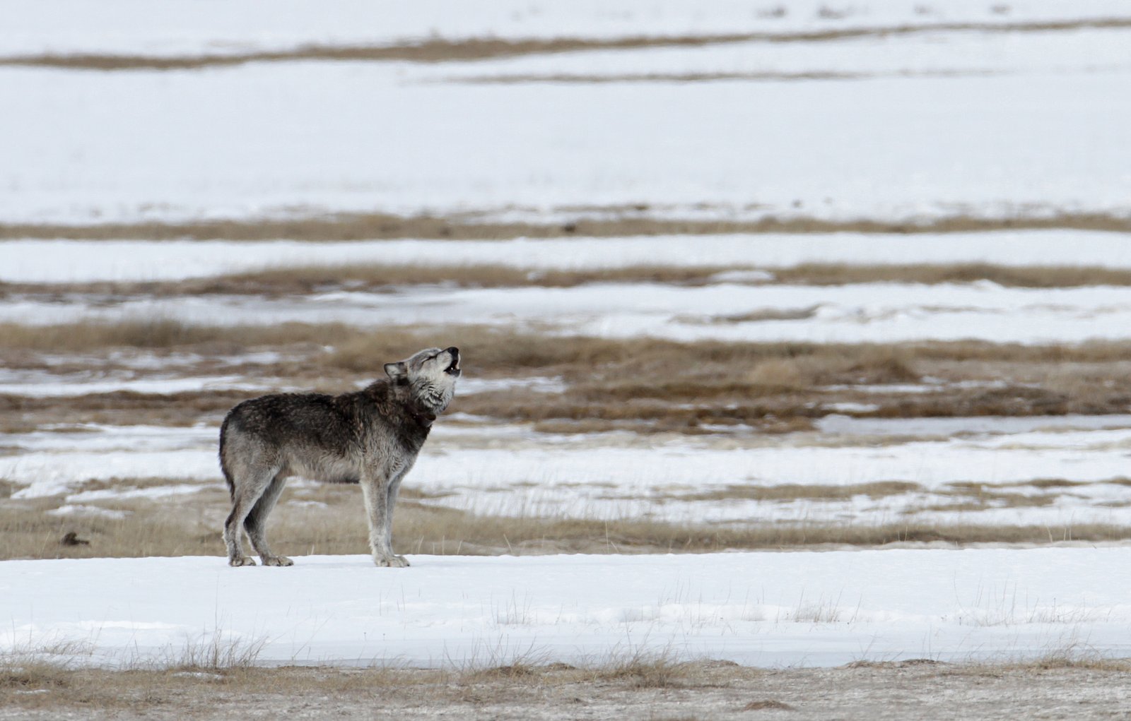
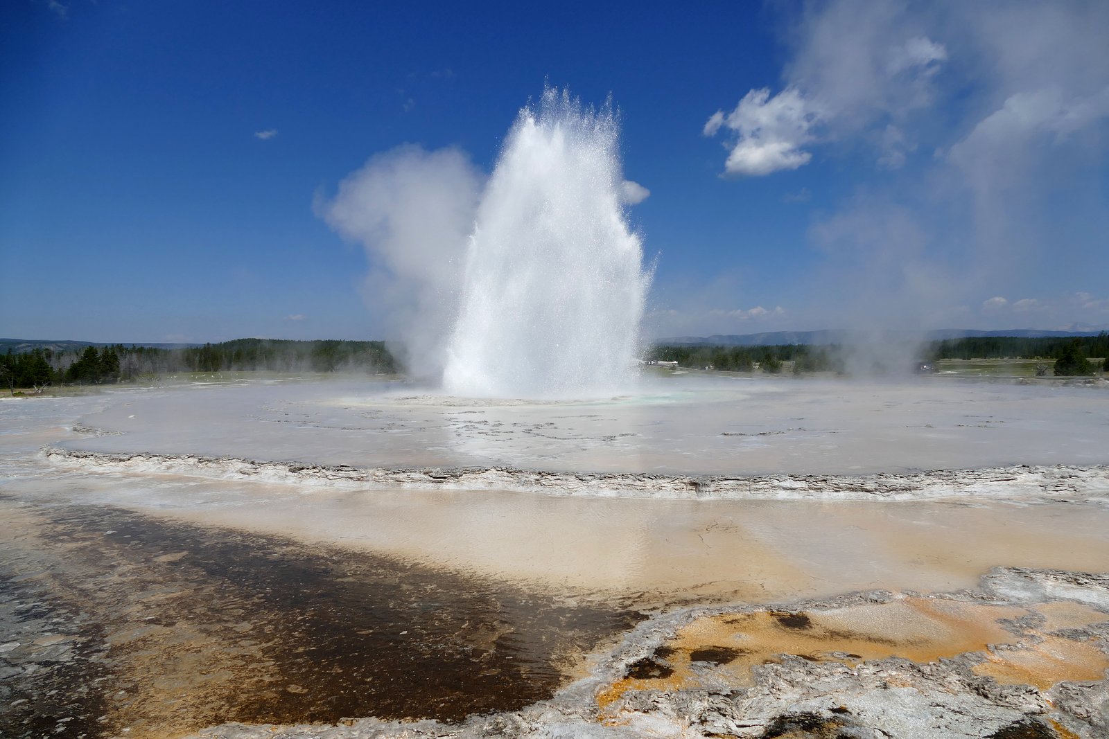

Photo Credits (5)
Difficulty
Hard
About Sluiceway Falls
Sluiceway Falls is a 10-foot waterfall on the Ferris Fork of the Bechler River in Yellowstone's remote southwest Cascade Corner. It is one of four small falls named in 1921 (Tendoy, Gwinna, Sluiceway and Wahhi) spaced about half a mile apart along the Ferris Fork upstream of the Ferris Fork hot spring area near Three Rivers Junction. Reaching it is a multi-day backcountry trip: Three Rivers Junction is about 15.5 miles from the Lone Star Geyser Trailhead, and the falls are upstream from there along the creek.
The Setting
Sluiceway Falls sits at 7,569 feet within Yellowstone National Park, in the high mountains of Wyoming. The falls drop 10 feet.
Height: 10 feet
Trail & Hike Details
Trail Description
The Bechler River Trail runs from the Lone Star Geyser Trailhead near Old Faithful south to Cave Falls, about 31.6 miles one way, with Three Rivers Junction about 15.5 miles in. A half-mile spur follows the Ferris Fork upstream to a hot spring area; the named falls lie farther upstream, roughly half a mile apart, and we found no maintained trail or published distance to Sluiceway Falls itself.
What to Expect
The falls drop a gentle 10 feet.
Accessibility
The trail involves steep, uneven terrain with significant elevation change and is not accessible to mobility devices.
Frequently Asked Questions
🐶 Are Dogs Allowed at Sluiceway Falls?
❌ Dogs are not allowed
Pets aren't allowed on hiking trails, boardwalks or in the backcountry in Yellowstone; they must stay within 100 feet of roads, parking areas and campgrounds.
Are There Any Fees or Permits Required?
🤑 Fee: $35.00
🏊 Is There Swimming at Sluiceway Falls?
❌ Swimming is not allowed
When to Visit
Late July through September, after the Bechler River fords drop and mosquitoes ease.
Seasonal Access
The best time to visit is Spring, Summer, and Fall. Access roads and trails may close during winter due to snow. Check the National Park Service website for current conditions.
Safety Information
Water temperature is currently 42°F — cold enough to cause numbness quickly. Avoid prolonged water contact and use caution near the falls.
It is illegal and dangerous to swim in hot springs; soaking is allowed only in rivers and creeks where hot spring runoff mixes in. Bechler River fords can be knee to hip deep, and the route is not recommended before late July. Carry bear spray.
Current Water Conditions
These readings come from the USGS gauge on Firehole River, 12.8 miles away, not on Sluiceway Falls's own stream. Use them as a sign of whether the area is running wet or dry.
38 ft³/s
Current discharge — how much water is flowing
Much lower than usual for this time of year
2.43 ft
Water depth at gauge
42°F
Very coldExpect numbness within minutes
7-Day Discharge Trend
What does this mean for your visit?
Flow is well below normal for this time of year, so the waterfall may be a trickle. Water temperature is very cold at 42 degrees F, expect numbness within minutes.
About This Gauge
This gauge is on a nearby waterway and may not reflect exact conditions at the falls.
7-Day Flow Outlook
Based on the USGS gauge Firehole River at Old Faithful, YNP (21 km away).
Today
Barely Flowing
39 cfs
5/10Tomorrow
Barely Flowing
38 cfs
5/10Thu
Barely Flowing
38 cfs
5/10Fri
Barely Flowing
39 cfs
5/10Sat
Low
42 cfs
4/10Sun
Low
44 cfs
4/10Mon
Low
43 cfs
4/10Best window: Today — barely flowing flow, sunny (trip score 5/10).
Best time of year: this gauge typically runs highest from late April to mid July, peaking in June.
How we calculate this
This is a transparent outlook, not a precise forecast. We take the waterfall's current flow strength (how it ranks against its historical normal for today, from the nearest USGS stream gauge), carry that ranking forward along the gauge's seasonal curve, and nudge it for forecast rain. Confidence is highest for the next day or two and falls further out. Always check official conditions and your own judgment before visiting — high flows can be dangerous.
Know when to go.
Get a free email alert when waterfalls near West Yellowstone hit peak flow. We only send when conditions are worth the trip — no weekly newsletters, no spam.
Is Sluiceway Falls Frozen?
Updated about 8 hours agoNot frozen highs above freezing lately north-facing, shaded 1 more freezing day forecast
Sluiceway Falls is not frozen right now; highs have been above freezing. Yesterday ran 45°F to 29°F. 1 freezing day are forecast, so ice may start to form.
- Days below freezing
- 1 of the last 14
- Current cold streak
- 0 days
- Freezing days ahead
- 1 of the next 7
- Flow
- 40 ft³/s
Winter safety. Frozen falls are the one waterfall trip with a documented injury pattern: falling ice, and ice-glazed rock and trail. Wear microspikes, keep well back from the base and from overhangs, and never walk out on ice over moving water.
Estimate from Open-Meteo daily temperatures at the falls, the LiDAR-measured facing direction, and the nearest stream gauge. It is a likelihood, not a report from the trail. See every frozen waterfall in Wyoming.
Weather Forecast
The Terrain, Seen by LiDAR
Aircraft-mounted lasers measured this ground to within inches. Trees and buildings are digitally stripped away, leaving the bare shape of the land the water has carved.
Here the descent is spread out: 1-meter lidar measures about 57 feet of drop through Sluiceway Falls, stretched along the creek rather than stacked in one wall. That is more than the listed 10 feet because the gorge keeps dropping below the falls themselves. The brink sits at about 7,599 feet above sea level.
The ground changes about 36 feet in the 500 feet above the falls and 36 feet in the 500 feet below. Facing north, the falls stay mostly shaded, with soft, even light all day.
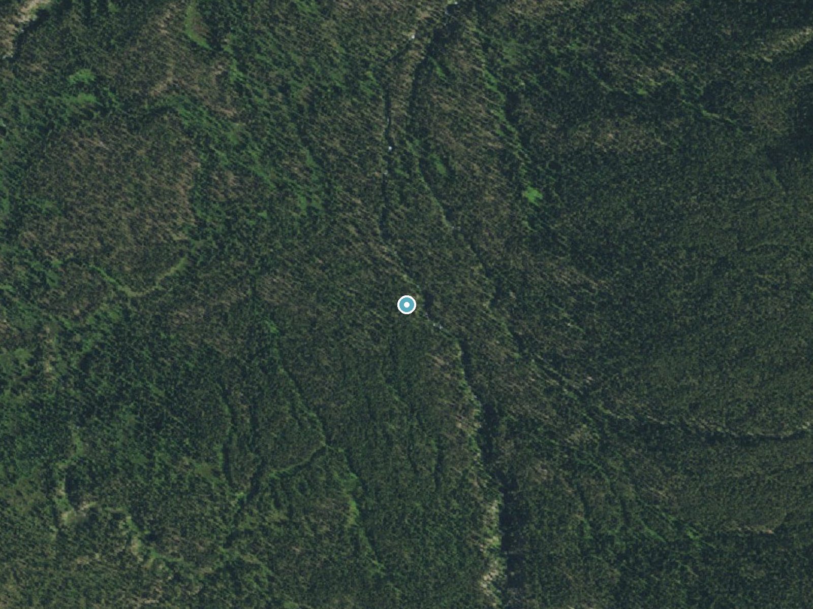
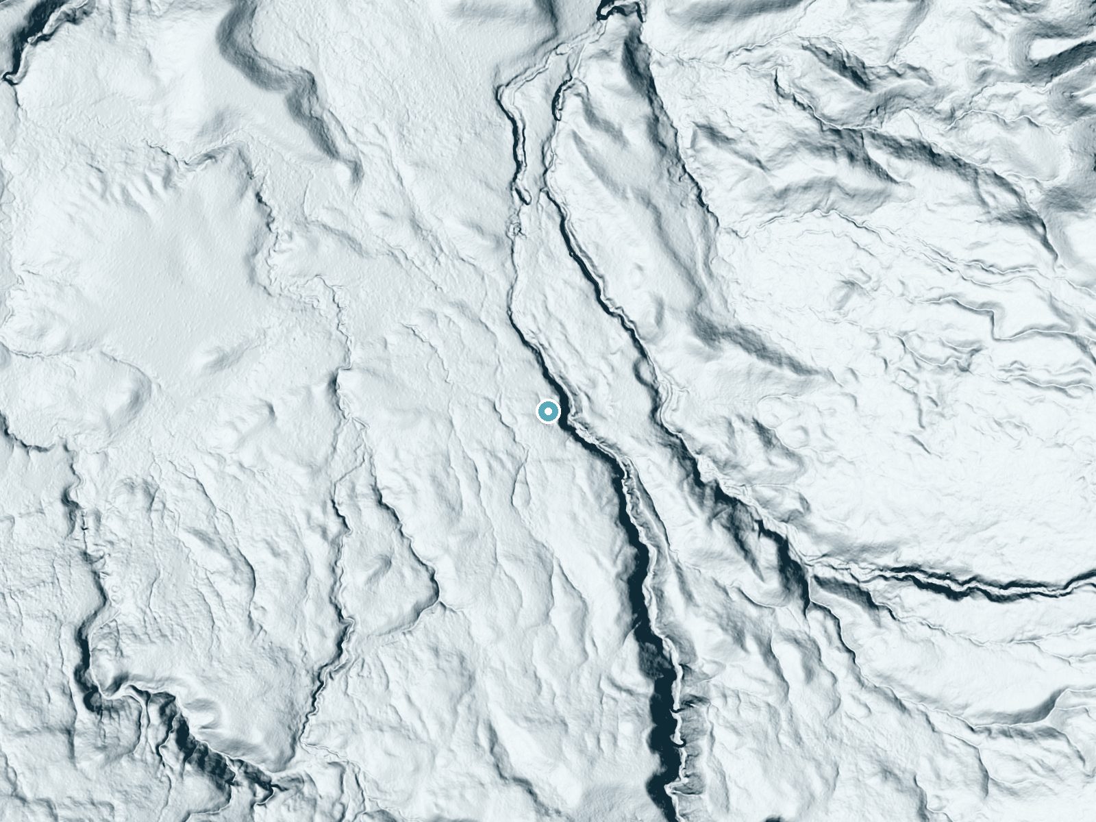
Drag to compare. The dot marks the waterfall. The frame is about a mile across.
- Ground elevation
- 7,599 feet
- Measured by 1-meter lidar
- Drop at the falls
- About 57 feet
- Change in ground height within ~250 feet of the falls
- Faces
- North
- Mostly shaded, so the light stays soft and even all day.
A slice through the lidar ground surface, from above the falls to downstream (heading north).
Elevation data: USGS 3D Elevation Program. Aerial imagery: USGS The National Map. Public domain.
Location & Access
Getting There
The usual starting points are the Lone Star Geyser Trailhead, just south of Kepler Cascades on the Old Faithful to West Thumb road, or the Bechler and Cave Falls trailheads, reached from Ashton, Idaho, by the Cave Falls road.
Get Directions on Google MapsElevation
7,569 feet above sea level
Coordinates
44.279097° N, -110.879658° W
Land Management
Managed by NPS
Visitor Tips & Gear
A Yellowstone backcountry permit is required for all overnight stays (not for day hikes); permits cost $5 per person per night plus a $10 reservation fee. The Ferris Fork campsite (9D1) books up quickly.
This trail sits at 7,569 ft above sea level
Elevated TrailUV radiation is roughly 30% stronger at this elevation than at sea level, and the dry air accelerates dehydration. Extra sun protection and fluids go a long way.
As an Amazon Associate, we earn from qualifying purchases.

Coppertone Sport SPF 50 Sunscreen
UV intensity jumps ~4% per 1,000 ft — at this elevation you can burn in half the time.

Sun Bum SPF 30 Lip Balm (3-Pack)
Lips have almost no natural UV protection and burn fast in thin, dry mountain air.

Liquid I.V. Electrolyte Packets
You lose moisture ~2x faster at elevation — electrolytes help you absorb water efficiently.

ROCKNIGHT Polarized UV400 Sunglasses
High-altitude glare off rock and water is intense — UV400 lenses block 99%+ of UVA/UVB.
Where to Stay
Cabin Village

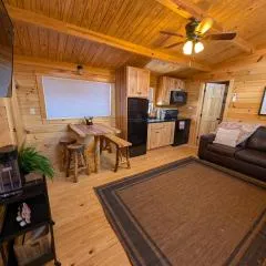
Sawtelle Mountain Resort
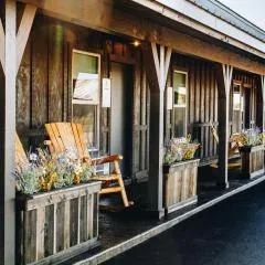
Blue Buffalo Resort
Pendleton Pointe
Browse vacation cabins and private rentals nearby
Unique outdoor stays — tents, yurts, and treehouses
Rent a campervan or RV for your waterfall road trip
Some links are affiliate links. We may earn a commission at no extra cost to you.
Nearby Campground
Cave Falls Campground
12.3 miles away · 0 sites
This campgrond is situated on the banks of Fall River in Wyoming along the south border of Yellowstone National Park. Cave Falls Campground has 23 single site units and a terrific area for fishing. Each campsite has fire rings, grills and picnic tables. Located throughout the campground are vault toilets, water faucets, bear proof storage boxes, and a dumpster. The campground is located in grizzly bear habitat that requires special precautions be taken with food storage.
Book on Recreation.govNearby Hot Springs
Hot springs near Driggs, Wyoming
Boundary Creek Hot Springs
Boundary Creek Hot Springs flows at 181°F in one of Yellowstone's most remote backcountry locations, requiring a 3.8-mile hike ...

Imperial Geyser, Spray Geyser
Imperial Geyser and Spray Geyser emerge at 192 degrees Fahrenheit at 7,327 feet elevation, located two miles from road access v...

Rabbit Creek Group
Rabbit Creek Group emerges at 198 degrees Fahrenheit—161 degrees above the 36-degree ambient—at 7,284 feet elevation in Yellows...

Fairy Springs
Fairy Springs flows at 201 degrees Fahrenheit within Yellowstone National Park's Lower Geyser Basin, distinguished by its extre...

Excelsior Geyser Crater
Excelsior Geyser Crater discharges approximately 4,000 gallons per minute at 199 degrees Fahrenheit into the Firehole River, ma...

Flood Group
Flood Group flows at 203 degrees Fahrenheit in Yellowstone's Midway Geyser Basin, positioned just 583 feet from the Grand Loop ...
Looking for a soak after your hike? Explore more hot springs near Driggs, Wyoming on SoakingSprings.
Explore Wyoming springsAdditional Information
Nearby Attractions
Tendoy, Gwinna and Wahhi Falls on the Ferris Fork, Twister Falls, Ragged Falls, Iris Falls, Colonnade Falls and the Ferris Fork hot spring area.
Wildlife
The area is home to diverse wildlife, including deer, elk, and various bird species. Visitors should be aware of the potential presence of bears and carry bear spray.
Cities near Sluiceway Falls
Nearby Waterfalls
Writing about Sluiceway Falls? Embed this waterfall on your site for free.