Sutherland Falls
By Armen Suny · Last verified May 2026
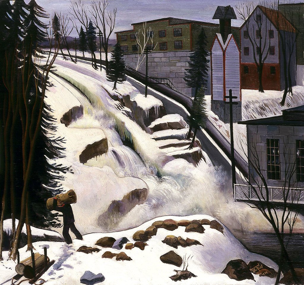

Photo Credits (5)
Difficulty
Moderate
Trail Length
2.4 miles
Trail Type
Out And Back
Elevation Gain
350 ft
About Sutherland Falls
Sutherland Falls sits in Proctor, Vermont’s Marble Bridge area, where Otter Creek threads past the town’s historic marble quarries. The falls are a pleasant, photogenic spot—its compact cascade and riverside setting offer a classic Vermont scene that ties into the region’s quarrying past and small-town character. The setting feels intimate rather than remote, making it an easy stop on a day drive through the Marble Valley. Because the falls are accessed close to the roadside, they’re well suited to visitors of all ages and experience levels. Expect a short stroll from the parking area to a close viewing spot where you can hear the creek and take pictures; it’s an inviting spot for a quick nature break while exploring Proctor and the surrounding marble heritage sites.
The Setting
Sutherland Falls sits at 417 feet along the Otter Creek, in the coastal lowlands of Vermont.
Trail & Hike Details
The Approach
The moderate 2.4-mile out-and-back trail gains 350 feet of elevation on the way to the falls.
Trail Description
The trail to Sutherland Falls is extremely short—a brief, mostly level walk from the nearby parking area to a viewing spot at the creek. It’s suitable for all visitors and provides a close, up-front view of the falls; no technical trail features or long approaches are required.
What to Expect
Dogs are welcome.
Accessibility
The trail is not wheelchair accessible. Uneven terrain and elevation changes require steady footing.
Frequently Asked Questions
🐶 Are Dogs Allowed at Sutherland Falls?
✅ Dogs are allowed
Are There Any Fees or Permits Required?
🆖 No fees required
🏊 Is There Swimming at Sutherland Falls?
❌ Swimming is not allowed
When to Visit
Spring and early summer are the best times to visit, as the water flow is typically strongest during these seasons.
Seasonal Access
The best time to visit is Spring, Summer, and Fall. Winter access may be limited.
Safety Information
Be cautious of slippery rocks near the water. Avoid getting too close to the edge of the falls. Supervise children closely.
Current Water Conditions
855 ft³/s
Current discharge — how much water is flowing
Much higher than usual for this time of year
Based on 98 years of record
3.68 ft
Water depth at gauge
7-Day Discharge Trend
What does this mean for your visit?
The water is flowing much higher than usual, expect an impressive display.
About This Gauge
7-Day Flow Outlook
Based on the USGS gauge OTTER CREEK AT CENTER RUTLAND, VT (7 km away).
Today
Low
871 cfs
6/10Tomorrow
Moderate
926 cfs
4/10Wed
Moderate
908 cfs
4/10Thu
Moderate
916 cfs
4/10Fri
Moderate
868 cfs
4/10Sat
Moderate
797 cfs
4/10Sun
Moderate
762 cfs
5/10Best window: Today — low flow, sunny (trip score 6/10).
Best time of year: this gauge typically runs highest from mid March to late May, peaking in April.
How we calculate this
This is a transparent outlook, not a precise forecast. We take the waterfall's current flow strength (how it ranks against its historical normal for today, from the nearest USGS stream gauge), carry that ranking forward along the gauge's seasonal curve, and nudge it for forecast rain. Confidence is highest for the next day or two and falls further out. Always check official conditions and your own judgment before visiting — high flows can be dangerous.
Know when to go.
Get a free email alert when waterfalls near Proctor hit peak flow. We only send when conditions are worth the trip — no weekly newsletters, no spam.
Weather Forecast
Location & Access
Getting There
Sutherland Falls is located near the Vermont Marble Museum in Proctor. Visitors can access the falls by driving to the Marble Bridge area, which provides a good view of the waterfall.
Get Directions on Google MapsParking
Parking is available near the Vermont Marble Museum or along nearby streets. Availability may vary depending on the season.
Elevation
417 feet above sea level
Coordinates
43.663400° N, -73.033442° W
Visitor Tips & Gear
Visit during the spring or after heavy rainfall for the most impressive water flow. Be cautious of slippery rocks near the water.
As an Amazon Associate, we earn from qualifying purchases.
With 2.4 miles and 350 ft of elevation gain, sturdy boots and trekking poles will help on this moderate trail. Sun exposure on the trail makes good sun protection a must in summer.

Polarized Sunglasses (Knockaround)
Cuts glare off the water so you actually see the falls — and your photos turn out better too.

Columbia Watertight II Rain Jacket
Packs into its own pocket, seam-sealed, and keeps you dry from spray and surprise rain.

Earth Pak Waterproof Dry Bag
Keeps your phone and gear dry when waterfall mist soaks everything else.

Waterproof Phone Pouch (AiRunTech)
Cheap insurance — take photos right next to the falls without killing your phone.

Timberland Euro Sprint Mid Waterproof
Trusted waterproof boot with premium leather and grippy rubber sole — reliable on rocky, wet trails.

TrailBuddy Trekking Poles
Lightweight aluminum, cork grips, and flip-locks that actually hold — a best-seller for good reason.
Where to Stay

Chic Brandon Cabin w/ Pool, Hot Tub + Sauna!

Comfort Inn Rutland - Killington

Cedarbrook Queen Studio 110

Cedarbrook Queen Studio 207
Browse vacation cabins and private rentals nearby
Unique outdoor stays — tents, yurts, and treehouses
Rent a campervan or RV for your waterfall road trip
Some links are affiliate links. We may earn a commission at no extra cost to you.
Nearby Campground
CHITTENDEN BROOK CAMPGROUND
12.7 miles away · 18 sites
Overview Chittenden Brook Campground is situated in a beautiful northern hardwoods forest, approximately seven miles from Rochester, VT. It is a small and semi-remote campground, perfect for those who seek a more tranquil camping experience. The Green Mountain National Forest in partnership with the Vermont Huts Association has a cabin located at the Chittenden Brook Campground available for reservations. The Chittenden Brook Hut (pictured above) is open for year-round use and is located within t
Book on Recreation.govAdditional Information
Nearby Attractions
Vermont Marble Museum, Proctor Marble Bridge, and other historical sites in the Proctor area.
Wildlife
Visitors may see birds, small mammals, and aquatic life in the area.
Cities near Sutherland Falls
Nearby Waterfalls

Other waterfalls named Sutherland Falls
1 other waterfall shares this name across the U.S.
Writing about Sutherland Falls? Embed this waterfall on your site for free.