Photo Credits (1)
Difficulty
Easy
Trail Length
1.0 miles
Trail Type
Out And Back
Elevation Gain
200 ft
About Stulls Falls
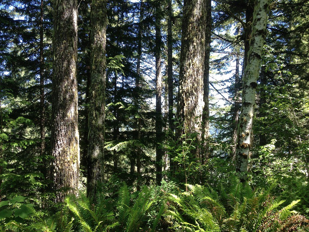
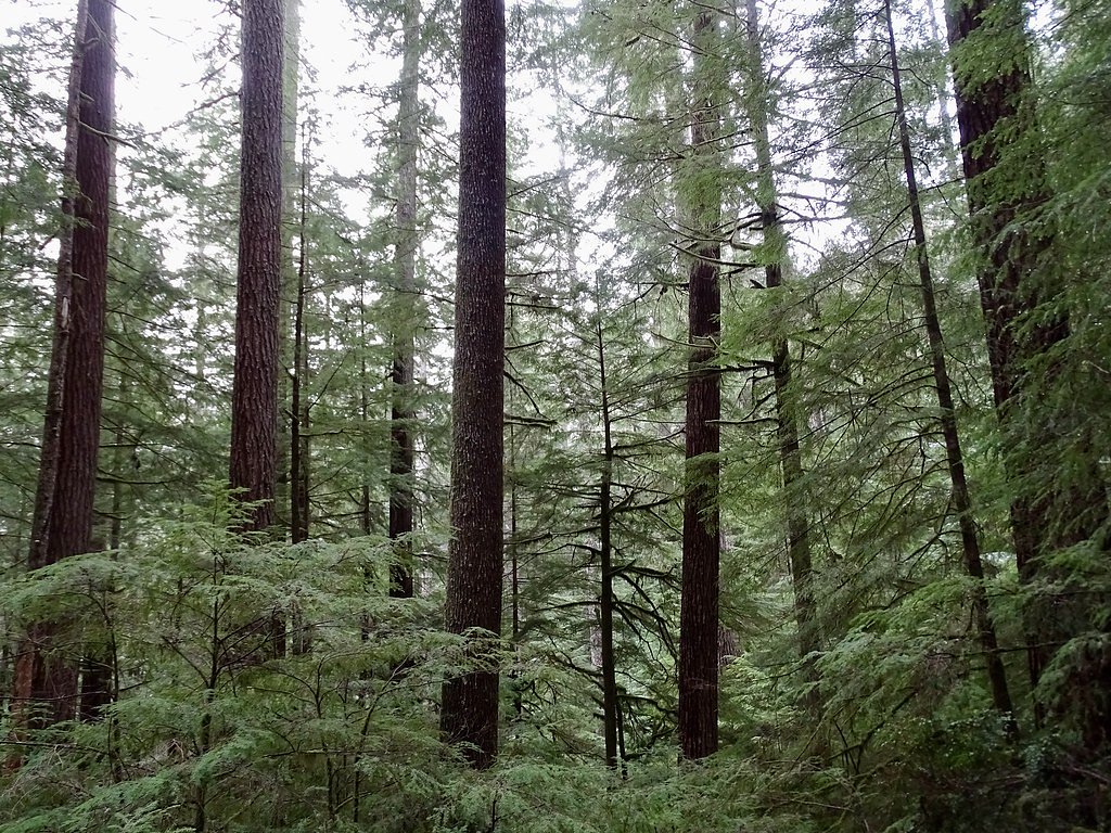
Stulls Falls is a tucked-away cascade in Oregon framed by mature forest and moss-covered rocks, offering a quiet, photogenic stop for hikers who enjoy a short nature walk rather than a long backcountry trek. The setting feels secluded and verdant, with the creek cutting through a wooded corridor that makes the falls a peaceful spot for a picnic or quick nature break. The falls lie on land owned by SDNR within the Federal Railroad Administration (Common School Lands) and are managed by SLB under the SOTH designation, so visitors should be mindful this is managed state land. Access is straightforward: a roughly 1.0-mile out-and-back hike with about 200 feet of elevation gain. The route is rated easy, making it a good choice for families and casual hikers looking for a short, rewarding outing in the trees.
The Setting
Stulls Falls sits at 443 feet within Federal Railroad Administration (Common School Lands), fed by the Little Wolf Creek, in the coastal lowlands of Oregon.
Nearby Falls Worth Visiting
Silver Falls (177 ft) lies 3.4 miles to the east. Also nearby: Golden Falls (100 ft, 3.8 mi).
Trail & Hike Details
The Approach
The easy 1.0-mile out-and-back trail gains 200 feet of elevation on the way to the falls.
Trail Description
Trail length: 1.0 miles (out-and-back). Elevation gain: ~200 feet. Difficulty: Easy. The trail follows a short forested route with natural tread—expect exposed roots, uneven sections and occasional muddy patches after rain. The climb is steady but gentle over the short distance, and the route requires no technical scrambling; sturdy shoes are recommended for traction on wet or slippery sections. Trail type: out-and-back, suitable for most hikers looking for a brief, scenic walk to the falls.
What to Expect
Dogs are welcome.
Accessibility
The trail is not wheelchair accessible. Uneven terrain and elevation changes require steady footing.
Frequently Asked Questions
🐶 Are Dogs Allowed at Stulls Falls?
✅ Dogs are allowed
Are There Any Fees or Permits Required?
🆖 No fees required
🏊 Is There Swimming at Stulls Falls?
❌ Swimming is not allowed
When to Visit
Spring and early summer are ideal times to visit, as the waterfall flow is strongest due to seasonal rainfall and snowmelt.
Seasonal Access
The best time to visit is Spring, Summer, and Fall. Winter access may be limited.
Safety Information
Visitors should be cautious of slippery rocks near the waterfall and watch for uneven or muddy trail sections. Always stay on marked trails to avoid getting lost.
Current Water Conditions
Based on a USGS gauge 21.2 miles away
1 ft³/s
Current discharge — how much water is flowing
Higher than usual for this time of year
1.73 ft
Water depth at gauge
61°F
WarmVery comfortable
7-Day Discharge Trend
What does this mean for your visit?
The water is flowing higher than usual for this time of year. Water temperature is a refreshing 61 degrees F, good for a quick swim.
About This Gauge
This gauge is on a regional waterway. Conditions at the falls may differ, especially after local rain.
7-Day Flow Outlook
Based on the USGS gauge LITTLE WOLF CREEK NEAR TYEE, OR (34 km away).
Today
Roaring
1 cfs
6/10Tomorrow
Roaring
1 cfs
6/10Tue
Strong
1 cfs
10/10Wed
Strong
1 cfs
10/10Thu
Roaring
1 cfs
6/10Fri
Roaring
1 cfs
6/10Sat
Strong
1 cfs
10/10Best window: Tue — strong flow, partly sunny (trip score 10/10).
Best time of year: this gauge typically runs highest from mid December to early January, peaking in January.
How we calculate this
This is a transparent outlook, not a precise forecast. We take the waterfall's current flow strength (how it ranks against its historical normal for today, from the nearest USGS stream gauge), carry that ranking forward along the gauge's seasonal curve, and nudge it for forecast rain. Confidence is highest for the next day or two and falls further out. Always check official conditions and your own judgment before visiting — high flows can be dangerous.
Know when to go.
Get a free email alert when waterfalls near Saunders Lake hit peak flow. We only send when conditions are worth the trip — no weekly newsletters, no spam.
Weather Forecast
Location & Access
Getting There
Stulls Falls is located in a remote area of Oregon. Access may require navigating forest roads, and directions should be verified with local resources or maps before visiting.
Get Directions on Google MapsParking
Parking availability is unclear, but visitors may need to park along forest roads or at designated pullouts nearby.
Elevation
443 feet above sea level
Coordinates
43.510948° N, -123.995659° W
Land Management
Managed by SLB
Visitor Tips & Gear
Bring a map or GPS device as cell service may be unreliable. Wear sturdy shoes, especially after rain, as the trail can become muddy. Check local conditions before visiting to ensure the trail is accessible.
As an Amazon Associate, we earn from qualifying purchases.
This easy 1.0 miles hike is straightforward — comfortable trail shoes and plenty of water should do. Sun exposure on the trail makes good sun protection a must in summer.

Polarized Sunglasses (Knockaround)
Cuts glare off the water so you actually see the falls — and your photos turn out better too.

Columbia Watertight II Rain Jacket
Packs into its own pocket, seam-sealed, and keeps you dry from spray and surprise rain.

Earth Pak Waterproof Dry Bag
Keeps your phone and gear dry when waterfall mist soaks everything else.

Waterproof Phone Pouch (AiRunTech)
Cheap insurance — take photos right next to the falls without killing your phone.

JOBY GorillaPod Starter Kit
Wraps around railings and rocks for long-exposure waterfall shots — no flat surface needed.

Osprey Daylite Daypack
Light, organized, and just the right size for a day hike — fits water, snacks, and layers.
Where to Stay

Seadrift Motel & RV Park

Plainview Motel

Edgewater Inn and Suites, an Ascend Collection Hotel

Bay Bridge Motel
Browse vacation cabins and private rentals nearby
Unique outdoor stays — tents, yurts, and treehouses
Rent a campervan or RV for your waterfall road trip
Some links are affiliate links. We may earn a commission at no extra cost to you.
Nearby Campground
LOON LAKE RECREATION SITE
9.8 miles away · 52 sites
Overview The Bureau of Land Management's Loon Lake Recreation Site is located in the heart of Oregon's Coast Range at an elevation of 392 feet, just 20 miles east-southeast of Reedsport, Oregon. Loon Lake Recreation Site is one of the Coast Range's few recreation areas with a warm, sandy beach. The lake is perfect for swimming, fishing, boating, and other water activities. The site offers a campground and day use area. Loon Lake Recreation Site's operating season is from Memorial Day weekend to S
Book on Recreation.govAdditional Information
Nearby Attractions
Other waterfalls and hiking trails in the surrounding forested areas of Oregon.
Wildlife
The area is home to various wildlife, including birds, deer, and small mammals. Visitors should be cautious and respectful of the natural habitat.
Cities near Stulls Falls
Nearby Waterfalls


Writing about Stulls Falls? Embed this waterfall on your site for free.